Bishop Woods
Wood, Forest in Lancashire South Lakeland
England
Bishop Woods
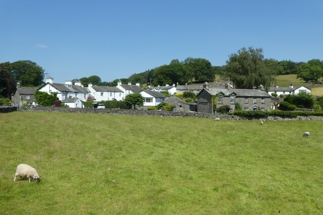
Bishop Woods is a small village located in the county of Lancashire, England. Situated near the larger town of Preston, it is nestled amidst the beautiful countryside of the region. With a population of around 1,000 residents, this tight-knit community offers a peaceful and picturesque setting for its inhabitants.
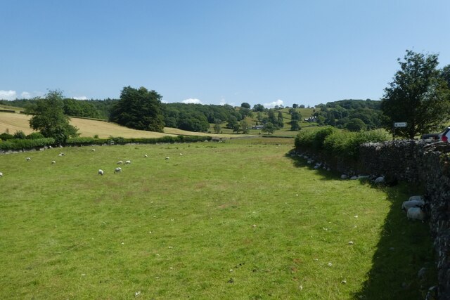
The name "Bishop Woods" originates from the Old English words "wood" and "forest," reflecting the area's rich history of woodlands and natural beauty. The village is surrounded by lush greenery, making it an ideal destination for nature lovers and outdoor enthusiasts. The nearby Brockholes Nature Reserve offers a range of wildlife and bird sightings, attracting visitors from far and wide.
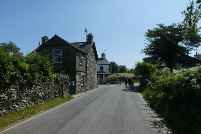
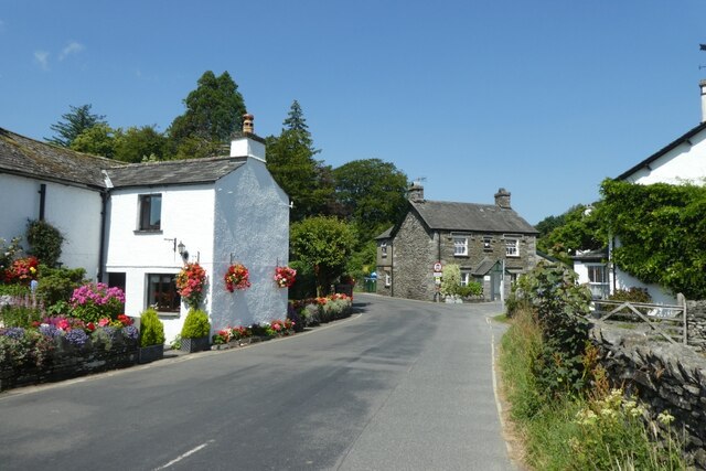
Bishop Woods is home to a number of charming cottages and traditional houses, adding to its quaint and idyllic atmosphere. The community is known for its strong sense of community spirit, with regular events and gatherings held throughout the year. The village pub, The Woodman's Arms, serves as a hub for locals to socialize and enjoy a pint or two.
The village is well-connected to the surrounding areas via road networks and public transportation. The nearby town of Preston provides residents with easy access to a range of amenities, including shops, schools, and healthcare facilities.
In summary, Bishop Woods offers a tranquil escape from the hustle and bustle of modern life. With its natural beauty, close-knit community, and convenient location, it is a desirable place to call home in Lancashire.
If you have any feedback on the listing, please let us know in the comments section below.
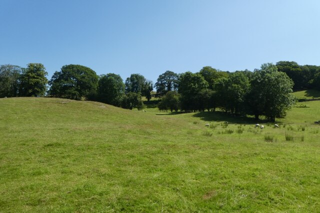
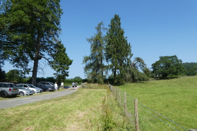
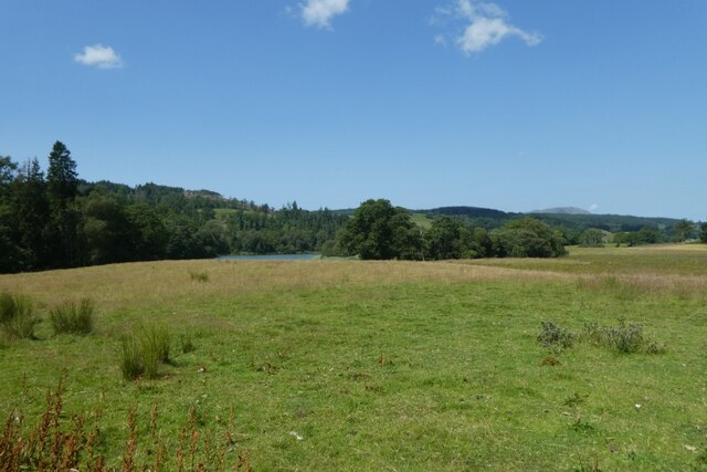
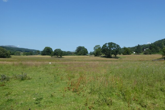
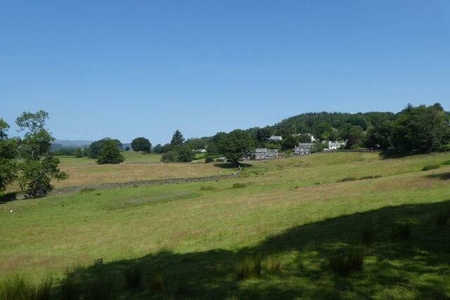
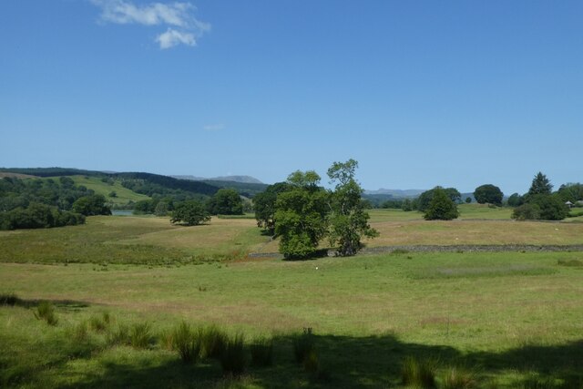
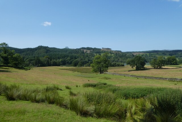
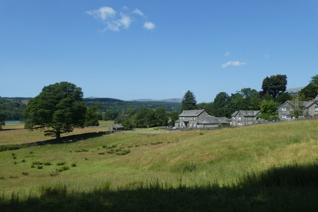
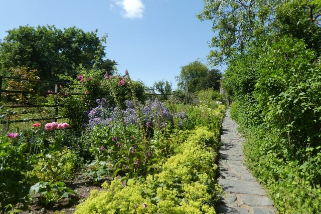
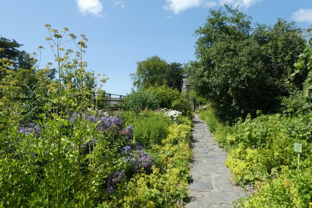
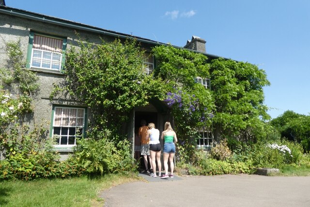
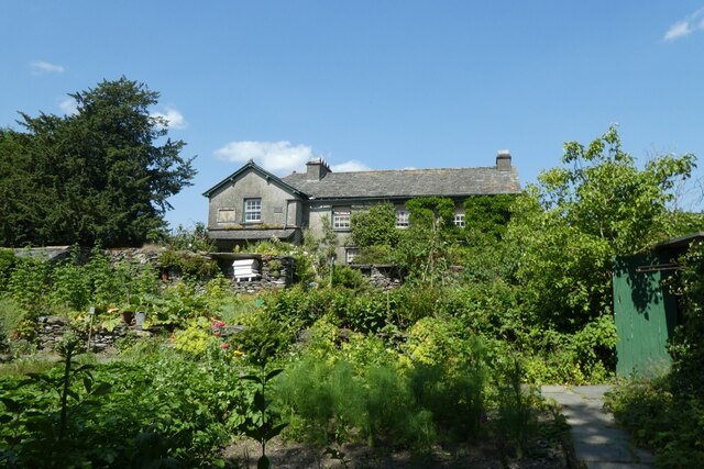
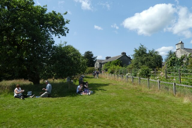
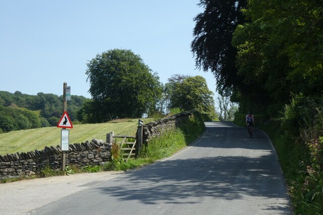
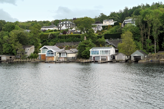
Bishop Woods Images
Images are sourced within 2km of 54.34033/-2.9621642 or Grid Reference SD3794. Thanks to Geograph Open Source API. All images are credited.
Bishop Woods is located at Grid Ref: SD3794 (Lat: 54.34033, Lng: -2.9621642)
Administrative County: Cumbria
District: South Lakeland
Police Authority: Cumbria
What 3 Words
///warping.footpath.ships. Near Windermere, Cumbria
Nearby Locations
Related Wikis

Cunsey Beck
Cunsey Beck is one of several rivers and streams that replenish the lake of Windermere in the English Lake District. Being just over two miles (3.2 km...

Hill Top, Cumbria
Hill Top is a 17th-century house in Near Sawrey near Hawkshead, in the English county of Cumbria. It is an example of Lakeland vernacular architecture...

Near and Far Sawrey
Near Sawrey and Far Sawrey are two neighbouring villages in the Furness area of Cumbria, England. Within the boundaries of the historic county of Lancashire...

Storrs Hall
Storrs Hall is a hotel on the banks of Windermere in Storrs in the Lake District, Cumbria, England. The hotel, a Grade II* listed Georgian mansion, is...

Esthwaite Water
Esthwaite Water is one of the smaller and lesser known lakes in the Lake District National Park in northern England. It is situated between the much larger...

Hawkshead and Claife
Hawkshead and Claife is a National Trust property made up of much of the town of Hawkshead and surrounding Claife Woodlands in Cumbria, England. Overlooking...
Storrs, Cumbria
Storrs is a hamlet in the civil parish of Windermere and Bowness, in the Westmorland and Furness district of the ceremonial county of Cumbria, England...

Broad Leys
Broad Leys is a house located in Ghyll Head, near Bowness-on-Windermere, South Lakeland, Cumbria, England. It is in the northern part of the parish of...
Nearby Amenities
Located within 500m of 54.34033,-2.9621642Have you been to Bishop Woods?
Leave your review of Bishop Woods below (or comments, questions and feedback).