Apedale

Settlement in Staffordshire Newcastle-under-Lyme

England

Apedale

Apedale Country Park
Apedale Country Park Credit: Jonathan Hutchins

Apedale is a small village located in the county of Staffordshire, England. Situated approximately 5 miles northwest of Newcastle-under-Lyme, it is a rural area with a population of around 500 residents. The village is part of the larger Chesterton civil parish.

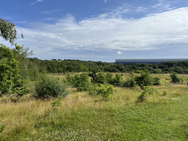
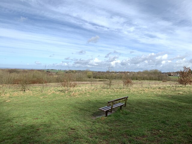
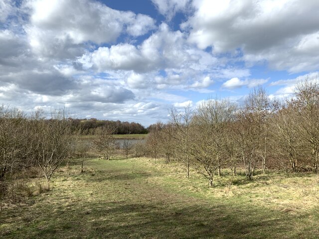
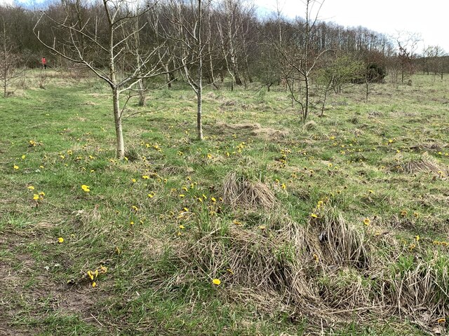
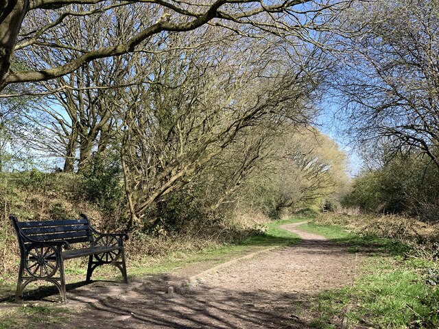
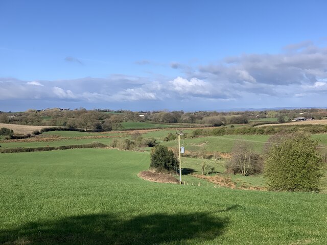
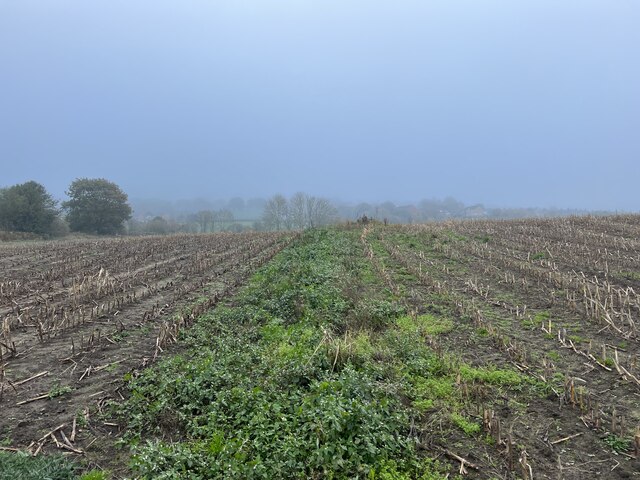
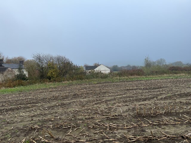
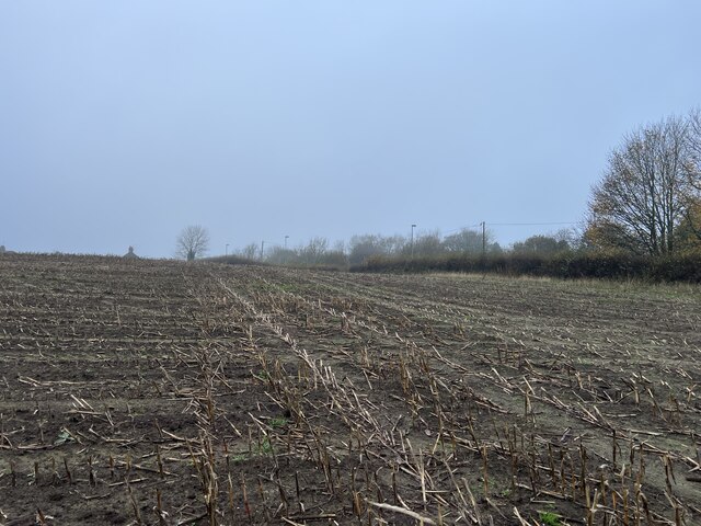
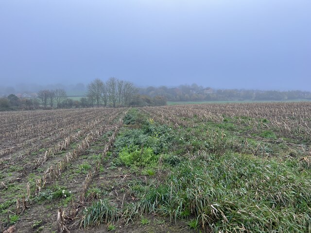
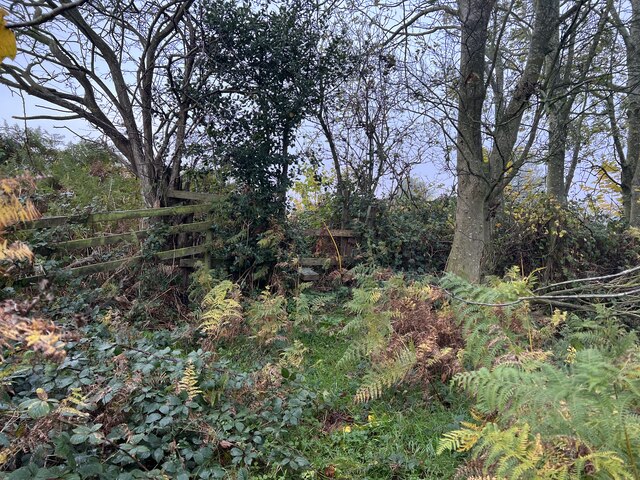
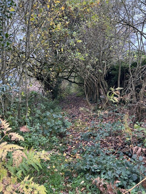
Apedale is known for its picturesque countryside, with rolling hills and beautiful landscapes surrounding the area. The village itself is characterized by its charming traditional cottages and historic buildings, which add to its quaint and peaceful atmosphere. The local community is tight-knit, with a friendly and welcoming atmosphere.

Despite its small size, Apedale offers a range of amenities and services for its residents. These include a primary school, a village hall, and a local pub, providing a central hub for social gatherings and community events. The village is also home to a number of small businesses, contributing to the local economy.

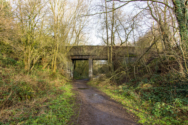
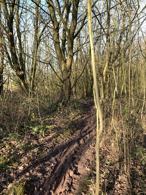
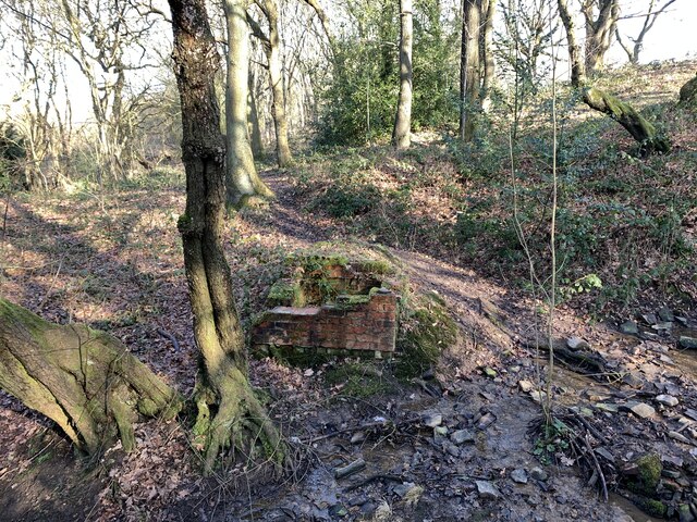
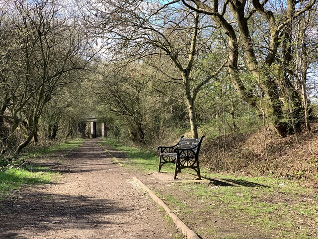
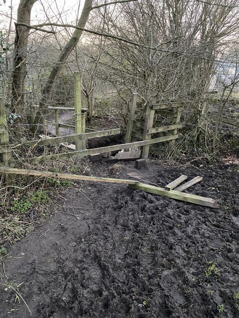
Apedale is ideally located for those who enjoy outdoor activities. The village is surrounded by stunning countryside, making it a popular destination for walking, cycling, and exploring nature. Additionally, the area is known for its mining heritage, with Apedale Heritage Centre offering an insight into the region's coal mining history.

Overall, Apedale offers a tranquil and idyllic setting for those seeking a peaceful rural lifestyle, while still providing easy access to nearby towns and cities such as Newcastle-under-Lyme and Stoke-on-Trent.

If you have any feedback on the listing, please let us know in the comments section below.

Apedale Images

Images are sourced within 2km of 53.038666/-2.279665 or Grid Reference SJ8149. Thanks to Geograph Open Source API. All images are credited.

Apedale Country Park
Bridge over the Audley Branch Line Bridge over the North Staffordshire Railway (NSR) Audley branch line. 
The line was opened 1870 and closed in 1962.
Bridge over the Audley Branch Line
Bridge over the North Staffordshire Railway (NSR) Audley branch line. The line was opened 1870 and closed in 1962.
Rutted path in Bates Wood The deep ruts are caused by cycle wheels. The path is designated Audley FP 110.
Rutted path in Bates Wood
The deep ruts are caused by cycle wheels. The path is designated Audley FP 110.
Footings of former brick structure in Bates Wood This brick structure was presumably part of the mine workings which operated here.
Footings of former brick structure in Bates Wood
This brick structure was presumably part of the mine workings which operated here.
Bateswood Country Park in early spring Bateswood Country Park, north-west of Newcastle-under-Lyme in Staffordshire and adjacent to the village of Halmer End, is designated as a Local Nature Reserve (LNR). It was developed after the cessation of opencast mining in the 1990s, which left the area as a barren wasteland with poor quality soil. Birch reforestation and the creation of a lake have improved the habitat for wildlife, while a network of footpaths and a bridle path create access to most parts of the site. In 2012 managed fishing by a local angling club was permitted, in an attempt to curb illicit fishing.

The site is managed by Newcastle Borough Council in partnership with Halmer End Wildlife Trust, a group of volunteers.

This site is not to be confused with Staffordshire Wildlife Trust's reserve immediately to the south, also called Bateswood (see <a title="https://www.geograph.org.uk/snippet/12701)" href="https://www.geograph.org.uk/snippet/12701)">Link</a>.
Bateswood Country Park in early spring
Bateswood Country Park, north-west of Newcastle-under-Lyme in Staffordshire and adjacent to the village of Halmer End, is designated as a Local Nature Reserve (LNR). It was developed after the cessation of opencast mining in the 1990s, which left the area as a barren wasteland with poor quality soil. Birch reforestation and the creation of a lake have improved the habitat for wildlife, while a network of footpaths and a bridle path create access to most parts of the site. In 2012 managed fishing by a local angling club was permitted, in an attempt to curb illicit fishing. The site is managed by Newcastle Borough Council in partnership with Halmer End Wildlife Trust, a group of volunteers. This site is not to be confused with Staffordshire Wildlife Trust's reserve immediately to the south, also called Bateswood (see Link.
Coltsfoot at Bateswood Country Park Bateswood Country Park, north-west of Newcastle-under-Lyme in Staffordshire and adjacent to the village of Halmer End, is designated as a Local Nature Reserve (LNR). It was developed after the cessation of opencast mining in the 1990s, which left the area as a barren wasteland with poor quality soil. Birch reforestation and the creation of a lake have improved the habitat for wildlife, while a network of footpaths and a bridle path create access to most parts of the site. In 2012 managed fishing by a local angling club was permitted, in an attempt to curb illicit fishing.

The site is managed by Newcastle Borough Council in partnership with Halmer End Wildlife Trust, a group of volunteers.

This site is not to be confused with Staffordshire Wildlife Trust's reserve immediately to the south, also called Bateswood (see <a title="https://www.geograph.org.uk/snippet/12701)" href="https://www.geograph.org.uk/snippet/12701)">Link</a>.
Coltsfoot at Bateswood Country Park
Bateswood Country Park, north-west of Newcastle-under-Lyme in Staffordshire and adjacent to the village of Halmer End, is designated as a Local Nature Reserve (LNR). It was developed after the cessation of opencast mining in the 1990s, which left the area as a barren wasteland with poor quality soil. Birch reforestation and the creation of a lake have improved the habitat for wildlife, while a network of footpaths and a bridle path create access to most parts of the site. In 2012 managed fishing by a local angling club was permitted, in an attempt to curb illicit fishing. The site is managed by Newcastle Borough Council in partnership with Halmer End Wildlife Trust, a group of volunteers. This site is not to be confused with Staffordshire Wildlife Trust's reserve immediately to the south, also called Bateswood (see Link.
Bench seat on 'the Lines' 'The Lines' is the local term for the trackbed of the former Audley branch railway (closed 1963). It is not an official footpath but is regularly used by walkers, cyclists, dog-walkers, and schoolchildren going to and from Sir Thomas Boughey school in Halmer End.
Bench seat on 'the Lines'
'The Lines' is the local term for the trackbed of the former Audley branch railway (closed 1963). It is not an official footpath but is regularly used by walkers, cyclists, dog-walkers, and schoolchildren going to and from Sir Thomas Boughey school in Halmer End.
Audley Meadows from Wereton Road
Broken stile and footbridge Staffordshire County Council were notified that the bridge and stile on this public footpath had become almost impassable, and with commendable promptness rebuilt it much more sturdily, see <a href="https://www.geograph.org.uk/photo/7339980">SJ7949 : Rebuilt footbridge over brook</a>
Broken stile and footbridge
Staffordshire County Council were notified that the bridge and stile on this public footpath had become almost impassable, and with commendable promptness rebuilt it much more sturdily, see SJ7949 : Rebuilt footbridge over brook
Footpath through maize field
Maize stubble in November
Footpath through maize field
Stile in hedge on overgrown path
Little-used footpath to Halmer End
Rebuilt footbridge over brook Staffordshire County Council rebuilt the bridge much more sturdily after it had become impassable eight months before, see <a href="https://www.geograph.org.uk/photo/7338506">SJ7949 : Broken stile and footbridge</a>
Rebuilt footbridge over brook
Staffordshire County Council rebuilt the bridge much more sturdily after it had become impassable eight months before, see SJ7949 : Broken stile and footbridge
Show me another place!

Apedale is located at Grid Ref: SJ8149 (Lat: 53.038666, Lng: -2.279665)

Administrative County: Staffordshire

District: Newcastle-under-Lyme

Police Authority: Staffordshire

What 3 Words

///reach.saying.lame. Near Audley, Staffordshire

Nearby Locations

Miry Wood Apedale

Related Wikis

Apedale Hall

Apedale Hall was a manor house near Newcastle-under-Lyme in Staffordshire. The seat of the Heathcote family, it was rebuilt in 1826 in the Elizabethan...

Halmerend (ward)

Halmerend was a ward of the Borough of Newcastle-under-Lyme, in Staffordshire, England. The ward covered the villages of Alsagers Bank, Balterley, Betley...

Apedale Community Country Park

Apedale Community Country Park is a 454-acre (184 ha) country park in the borough of Newcastle-under-Lyme, Staffordshire, England. The park is unusual...

Apedale

Apedale is a village in Staffordshire, England. The population at the 2011 census can be found under the Holditch (Ward) of Newcastle-under-Lyme. The village...

Alsagers Bank

Alsagers Bank is a village in the Borough of Newcastle-under-Lyme in Staffordshire. Population details at the 2011 census can be found under Audley Rural...

Apedale Heritage Centre

The Apedale Heritage Centre was created at the site of Staffordshire's Apedale Mine and is run by volunteers. It is located just outside the village of...

Newcastle-under-Lyme (UK Parliament constituency)

Newcastle-under-Lyme is a constituency in northern Staffordshire created in 1354 and represented in the House of Commons of the UK Parliament since 2019...

Audley and Bignall End

Audley and Bignall End was a ward in the Borough of Newcastle-under-Lyme, in the county of Staffordshire, England. It covered the villages of Audley and...

Nearby Amenities

Located within 500m of 53.038666,-2.279665
Barrier: stile
Foot: designated
Material: wood
Step Count: 1
Stile: stepover
Lat/Long: 53.0353027/-2.2816209
Watermills Chimney
HE Ref: 1291460
Disused: yes
Historic: monument
Listed Status: scheduled monument
Man Made: chimney
Wikidata: Q26579575
Lat/Long: 53.0364058/-2.2746843
Barrier: stile
Disused: yes
Foot: yes
Material: wood
Lat/Long: 53.035445/-2.2843651
Apedale
Place: hamlet
Lat/Long: 53.0389409/-2.2772191
Barrier: stile
Material: wood
Step Count: 1
Stile: stepover
Lat/Long: 53.0420681/-2.2793227
Power: pole
Lat/Long: 53.0362232/-2.2857007
Barrier: stile
Foot: yes
Material: wood
Step Count: 1
Stile: stepover
Lat/Long: 53.0355997/-2.2847674
Hiking: yes
Information: guidepost
Material: wood
Tourism: information
Lat/Long: 53.0357394/-2.274874
Bench
Backrest: no
Material: wood
Lat/Long: 53.0365603/-2.274743
Bench
Backrest: no
Material: wood
Lat/Long: 53.0364236/-2.2747251
Bench
Backrest: no
Material: wood
Lat/Long: 53.0363994/-2.2747412
Bench
Backrest: no
Material: wood
Lat/Long: 53.0349926/-2.2794633
Hiking: yes
Information: guidepost
Material: wood
Operator: Apedale Country Park
Tourism: information
Lat/Long: 53.0355426/-2.2800078
Bench
Backrest: no
Material: wood
Lat/Long: 53.0355797/-2.2799876
Hiking: yes
Information: guidepost
Material: wood
Tourism: information
Lat/Long: 53.0355813/-2.2799501
Hiking: yes
Information: guidepost
Material: wood
Tourism: information
Lat/Long: 53.0349934/-2.2818317
Addr Housename: Game Keeper's Cottage
Source: OS-OpenData_StreetView
Lat/Long: 53.0374828/-2.2858825
Addr Housename: Apedale House
Source: OS-OpenData_StreetView
Lat/Long: 53.03989/-2.2780762
Addr Housename: Fairacre
Source: OS-OpenData_StreetView
Lat/Long: 53.0378115/-2.2810985
Power: pole
Lat/Long: 53.0431063/-2.2799796
Power: pole
Lat/Long: 53.0422814/-2.2808406
Power: pole
Lat/Long: 53.039989/-2.283394
Power: pole
Lat/Long: 53.0384827/-2.2850503
Power: pole
Lat/Long: 53.0369562/-2.2854875
Power: pole
Lat/Long: 53.0411873/-2.2820593
Barrier: stile
Material: wood
Step Count: 1
Stile: stepover
Lat/Long: 53.0390649/-2.2751892
Barrier: stile
Material: wood
Step Count: 1
Stile: stepover
Lat/Long: 53.0391621/-2.2752649
Barrier: stile
Material: wood
Step Count: 1
Stile: stepover
Lat/Long: 53.040214/-2.2752549
Barrier: stile
Material: wood
Step Count: 1
Stile: stepover
Lat/Long: 53.0402612/-2.2752931
Barrier: stile
Material: wood
Step Count: 1
Stile: stepover
Lat/Long: 53.0399167/-2.276314
The data included in this document is from www.openstreetmap.org. The data is made available under ODbL.

Have you been to Apedale?

Leave your review of Apedale below (or comments, questions and feedback).