Bedpool Plantation
Wood, Forest in Somerset South Somerset
England
Bedpool Plantation
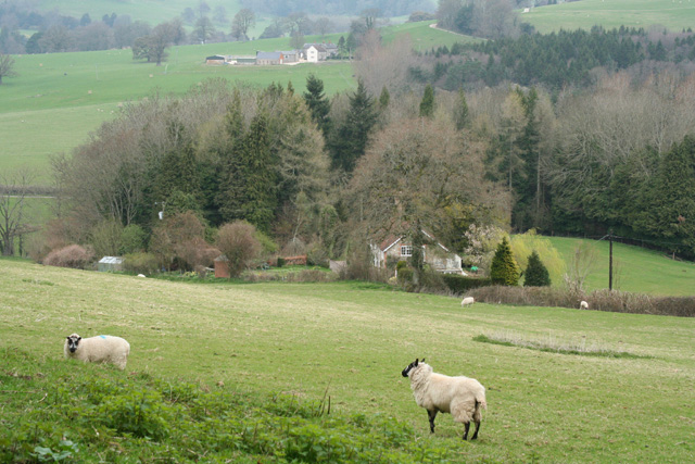
Bedpool Plantation is a picturesque woodland located in Somerset, England. Situated near the town of Wood, this beautiful forest covers an area of approximately 200 acres, making it a significant natural landmark in the region. The plantation is known for its diverse range of flora and fauna, providing a haven for nature enthusiasts and wildlife alike.
The woodland is predominantly composed of a variety of deciduous trees, including oak, beech, and ash. These towering trees create a dense canopy that filters the sunlight, resulting in a cool and tranquil atmosphere within the forest. Throughout the woodland, there are numerous well-maintained paths and trails, allowing visitors to explore the plantation and enjoy its natural beauty.
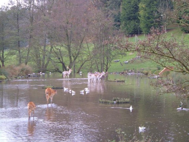
Bedpool Plantation is home to a wide range of wildlife, making it a popular destination for birdwatchers and wildlife photographers. Common sightings include various species of woodland birds, such as robins, thrushes, and woodpeckers. Additionally, the forest provides a habitat for mammals such as deer, foxes, and badgers, adding to the ecological significance of the plantation.
The plantation is open to the public year-round, offering a peaceful retreat for those seeking solace in nature. Visitors can engage in activities such as hiking, picnicking, and photography, immersing themselves in the tranquility of the woodland. The management of Bedpool Plantation is committed to the conservation and preservation of the natural environment, ensuring that future generations can continue to enjoy this remarkable landscape.
If you have any feedback on the listing, please let us know in the comments section below.
Bedpool Plantation Images
Images are sourced within 2km of 50.870633/-2.8922399 or Grid Reference ST3708. Thanks to Geograph Open Source API. All images are credited.


Bedpool Plantation is located at Grid Ref: ST3708 (Lat: 50.870633, Lng: -2.8922399)
Administrative County: Somerset
District: South Somerset
Police Authority: Avon and Somerset
What 3 Words
///behalf.eradicate.because. Near Chard, Somerset
Related Wikis

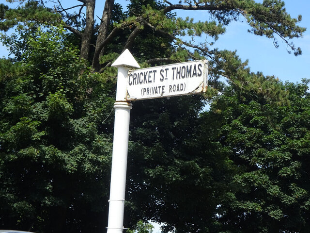
Cricket St Thomas
Cricket St Thomas is a parish in Somerset, England, situated in a valley between Chard and Crewkerne within the South Somerset administrative district...
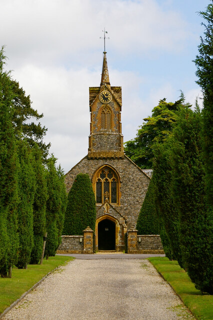
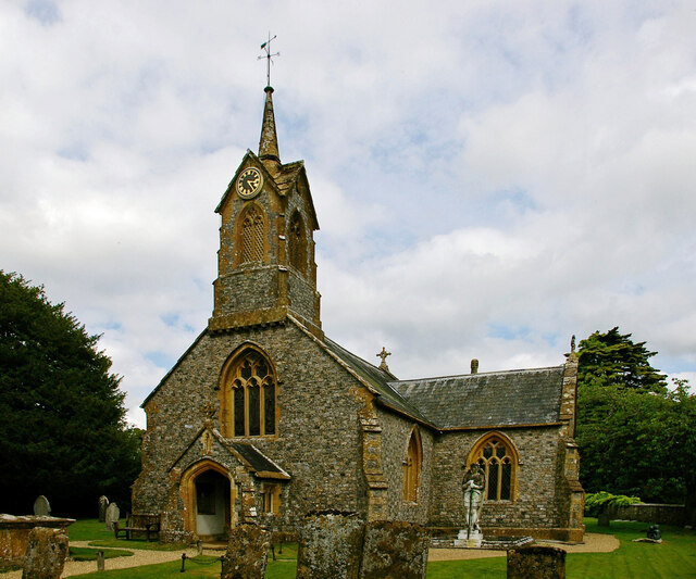
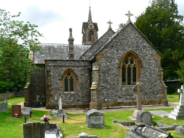
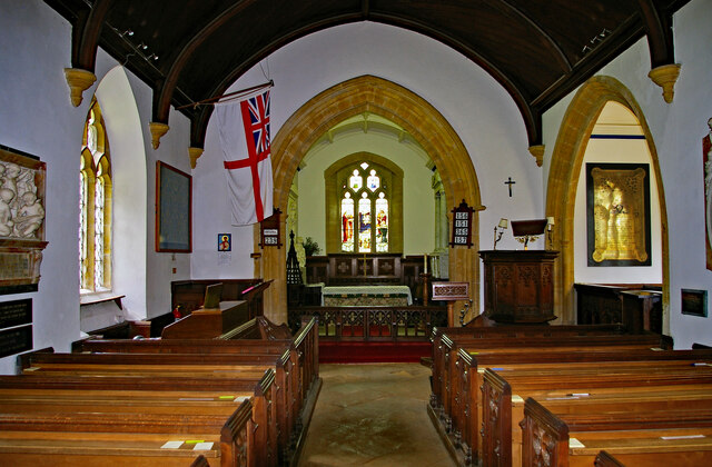
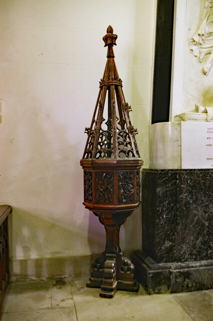
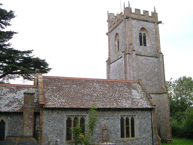
Church of St Thomas, Cricket St Thomas
The Church of St Thomas in Cricket St Thomas, Somerset, England was built in the 14th century and rebuilt in 1868. It is a Grade II* listed building....

Winsham
Winsham is a village and civil parish 4 miles (6 km) south-east of Chard and 6 miles (10 km) from Crewkerne, in the South Somerset district of Somerset...

Church of St Stephen, Winsham
The Anglican Church of St Stephen in Winsham, Somerset, England, was built in the 13th century. It is a Grade II* listed building. == History == The church...

Cudworth, Somerset
Cudworth (English: ) is a village and parish in Somerset, England, situated 5 miles (8.0 km) north east of Chard in the South Somerset district. The village...

Church of St Michael, Cudworth
The Anglican Church of St Michael in Cudworth, Somerset, England was built in the 12th century. It is a Grade II* listed building. == History == The church...
Church of St Michael and All Angels, Chaffcombe
The Anglican Church of St Michael and All Angels in Chaffcombe, Somerset, England was built in the 15th century. It is a Grade II* listed building. �...

Leigh House
Leigh House is 16th- or 17th-century house in Winsham, Somerset, England. It is a Grade II* listed building.The site was previously part of the Forde Abbey...
Nearby Amenities
Located within 500m of 50.870633,-2.8922399Have you been to Bedpool Plantation?
Leave your review of Bedpool Plantation below (or comments, questions and feedback).