Batenbush Wood

Wood, Forest in Cumberland Carlisle

England

Batenbush Wood

St. Andrew's at Kirkandrews on Esk
St. Andrew's at Kirkandrews on Esk Credit: Peter Moore

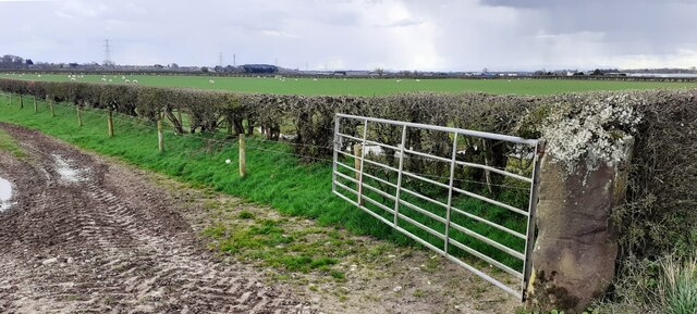
Batenbush Wood, located in Cumberland, is a picturesque forest known for its natural beauty and diverse ecosystem. Covering an area of approximately 500 acres, this woodland is a cherished natural treasure that attracts both locals and visitors alike.

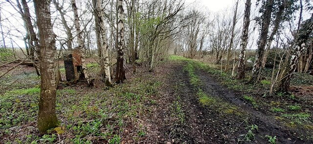
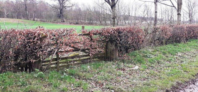
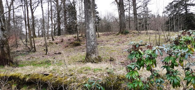
The wood is characterized by its dense canopy of towering trees, predominantly consisting of oak, beech, and ash. These mature trees provide a cool and shaded environment, making it a perfect place for a leisurely stroll or a peaceful picnic. The forest floor is carpeted with a plethora of wildflowers, ferns, and mosses, creating a vibrant and colorful landscape throughout the year.

Batenbush Wood is home to a rich variety of wildlife, including deer, foxes, badgers, and numerous bird species. Birdwatchers are particularly drawn to this area to catch a glimpse of rare and migratory birds that find sanctuary here. The tranquil atmosphere and abundance of food sources make it an ideal habitat for these creatures.

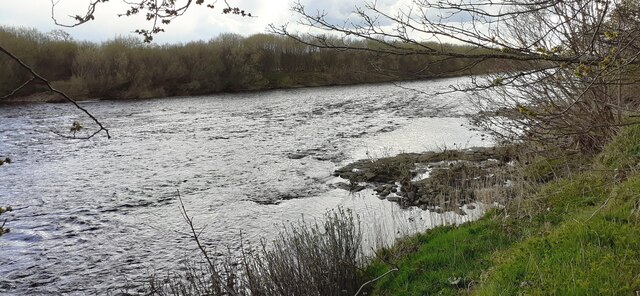
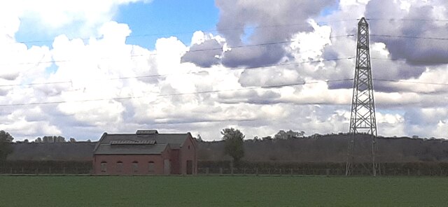
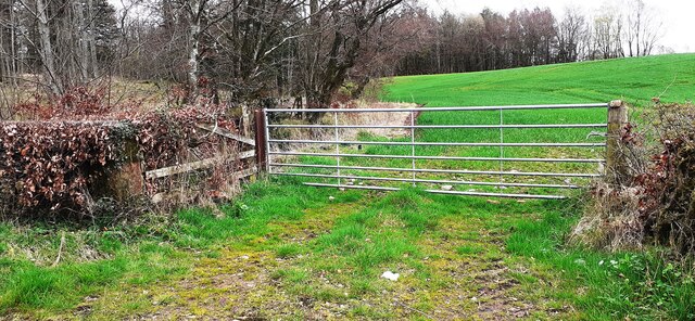
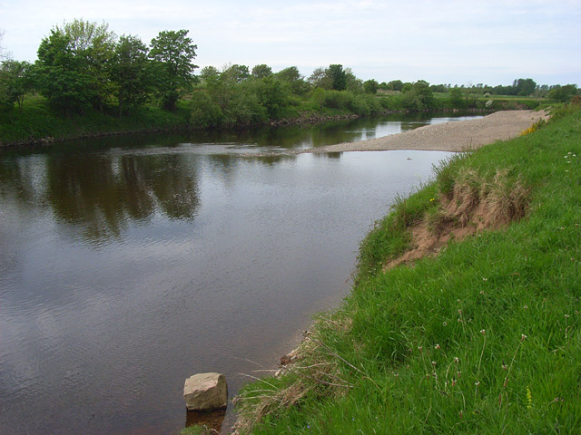
The wood offers several well-maintained walking trails, allowing visitors to explore its enchanting beauty at their own pace. These trails wind through the forest, crossing babbling brooks and offering breathtaking views of the surrounding countryside. The wood is also intersected by a small river, providing opportunities for fishing and boating.

Batenbush Wood is a haven for nature enthusiasts seeking solace and a chance to reconnect with the great outdoors. With its stunning scenery, diverse wildlife, and well-preserved trails, this woodland is a must-visit destination for those looking to immerse themselves in the wonders of nature.

If you have any feedback on the listing, please let us know in the comments section below.

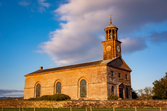
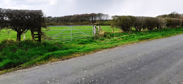
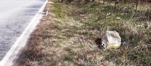
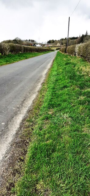
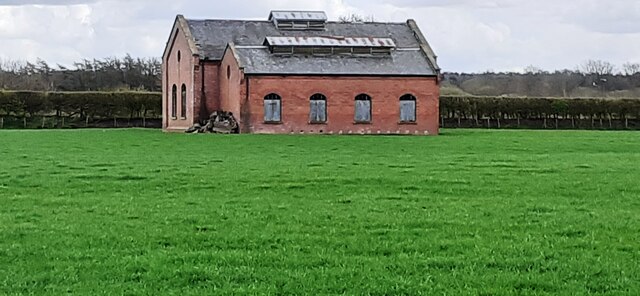
Batenbush Wood Images

Images are sourced within 2km of 55.03228/-2.983355 or Grid Reference NY3771. Thanks to Geograph Open Source API. All images are credited.

St. Andrew's at Kirkandrews on Esk
Field gateway on west side of minor road to Batenbush
River Esk from its NW bank
Gated entrance to buildings at Oakbank
Benchmark on farm building at Oakbank Ordnance Survey cut mark benchmark levelled at 14.613m above Newlyn Datum verified 1974
Benchmark on farm building at Oakbank
Ordnance Survey cut mark benchmark levelled at 14.613m above Newlyn Datum verified 1974
Farm buildings at Oakbank There is an Ordnance Survey benchmark <a href="https://www.geograph.org.uk/photo/7142707">NY3670 : Benchmark on farm building at Oakbank</a> on the corner, road face, of the nearest building at the junction with stone wall
Farm buildings at Oakbank
There is an Ordnance Survey benchmark NY3670 : Benchmark on farm building at Oakbank on the corner, road face, of the nearest building at the junction with stone wall
Road and stream at Oakbank Bridge The bridge parapet has 1936 date carved on its road face
Road and stream at Oakbank Bridge
The bridge parapet has 1936 date carved on its road face
Milestone Carlisle 10 miles on SE side of A7 The milestone has an Ordnance Survey pivot benchmark levelled at 17.100m above Newlyn Datum verified in 1974 on its top. The 1888-1913 OS 6" Map shows the benchmark at 55.8 feet (17.0m) above Liverpool Datum
Milestone Carlisle 10 miles on SE side of A7
The milestone has an Ordnance Survey pivot benchmark levelled at 17.100m above Newlyn Datum verified in 1974 on its top. The 1888-1913 OS 6" Map shows the benchmark at 55.8 feet (17.0m) above Liverpool Datum
Old milestone on SE side of A7 SW of Batenbush junction <a href="https://www.geograph.org.uk/photo/7142752">NY3770 : Milestone Carlisle 10 miles on SE side of A7</a> shows a front view of the milestone
Old milestone on SE side of A7 SW of Batenbush junction
NY3770 : Milestone Carlisle 10 miles on SE side of A7 shows a front view of the milestone
Rural NW road towards Batenbush
Footpath through wood between A7 and River Esk On tracked of former North British Railway from Carlsle to Edinburgh. The brick structure could be the fireplace of a platelayers hut?
Footpath through wood between A7 and River Esk
On tracked of former North British Railway from Carlsle to Edinburgh. The brick structure could be the fireplace of a platelayers hut?
Former pumping station in field on SE side of A7
Field gateway and sheep pasture on SE side of A7
Former pumping station and electricity pylon in field on SE side of A7 Snow-bearing clouds overhead
Former pumping station and electricity pylon in field on SE side of A7
Snow-bearing clouds overhead
Benchmark on gatepost at gateway on SE side of road near Slackbraes Wood Ordnance Survey cut mark benchmark levelled at 23.360m above Newlyn Datum verified 1955
Benchmark on gatepost at gateway on SE side of road near Slackbraes Wood
Ordnance Survey cut mark benchmark levelled at 23.360m above Newlyn Datum verified 1955
Field gateway on SE side of rural road west of Slackbraes Wood There is an Ordnance Survey benchmark <a href="https://www.geograph.org.uk/photo/7148236">NY3870 : Benchmark on gatepost at gateway on SE side of road near Slackbraes Wood</a> on the road face of the right hand gatepost of the now disused gateway
Field gateway on SE side of rural road west of Slackbraes Wood
There is an Ordnance Survey benchmark NY3870 : Benchmark on gatepost at gateway on SE side of road near Slackbraes Wood on the road face of the right hand gatepost of the now disused gateway
Looking into Slackbraes Wood over Jean's Sike
Field gateway at SE edge of Slackbraes Wood Ordnance Survey records indicate that a benchmark levelled at  24.088m above Newlyn Datum was verified in 1955 on a gatepost at this gateway which appears to have been remodelled since
Field gateway at SE edge of Slackbraes Wood
Ordnance Survey records indicate that a benchmark levelled at 24.088m above Newlyn Datum was verified in 1955 on a gatepost at this gateway which appears to have been remodelled since
Show me another place!

Batenbush Wood is located at Grid Ref: NY3771 (Lat: 55.03228, Lng: -2.983355)

Administrative County: Cumbria

District: Carlisle

Police Authority: Cumbria

What 3 Words

///destiny.unusable.uproot. Near Longtown, Cumbria

Nearby Locations

Batenbush Wood

Related Wikis

Kirkandrews-on-Esk

Kirkandrews (also known as Kirkandrews-on-Esk distinguishing it from Kirkandrews-on-Eden), is a civil parish in City of Carlisle district, Cumbria, England...

Coop House, Netherby

Coop House, near Netherby in Cumbria, England, is a small building by the River Esk, erected about 1772 as part of a salmon fishery project, and restored...

Scotch Dyke railway station

Scotch Dyke railway station was a railway station in Cumberland close to the Scots' Dike, the traditional border with Scotland. == History == The station...

Longtown railway station

Longtown railway station served the town of Longtown, Cumbria, England, from 1861 to 1970 on the Waverley Route. == History == The station opened on 29...

Longtown, Cumbria

Longtown is a market town in Cumbria, England, just south of the Scottish Border. It has a sheep market which was at the centre of the 2001 United Kingdom...

Liddel Water

Liddel Water is a river running through southern Scotland and northern England, for much of its course forming the border between the two countries, and...

Solway Moss

Solway Moss, also known as Solway Flow, is a moss (lowland peat bog), in the City of Carlisle in Cumbria, England near the Scottish border and less than...

Battle of Solway Moss

The Battle of Solway Moss took place on Solway Moss near the River Esk on the English side of the Anglo-Scottish border in November 1542 between English...

Have you been to Batenbush Wood?

Leave your review of Batenbush Wood below (or comments, questions and feedback).