Ben Hessel Coppice

Wood, Forest in Lancashire South Lakeland

England

Ben Hessel Coppice

Path on Latterbarrow This is the path from Claife Heights, leading up the south ridge towards the summit of Latterbarrow.
Path on Latterbarrow Credit: Adrian Taylor

Ben Hessel Coppice is a stunning woodland area located in the county of Lancashire, England. It is a picturesque and peaceful destination for nature enthusiasts and outdoor lovers alike. Spanning over a vast area, it offers a diverse range of flora and fauna, making it a haven for wildlife.

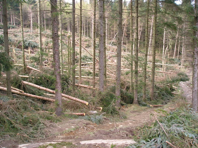
The copse is known for its dense and ancient woodland, characterized by towering trees such as oak, beech, and ash. These majestic trees create a dense canopy, providing shelter for a variety of wildlife species. The forest floor is carpeted with a rich undergrowth of ferns, mosses, and wildflowers, adding to the enchanting atmosphere of the coppice.

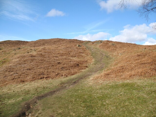
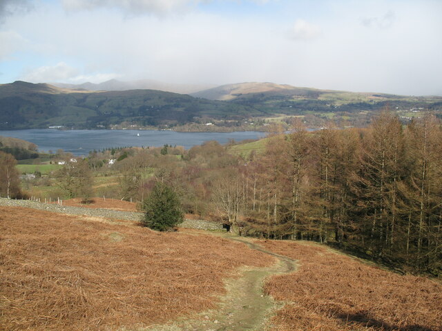
Visitors to Ben Hessel Coppice can explore its numerous walking trails, which wind their way through the woodland, offering breathtaking views and a chance to immerse oneself in nature. The paths are well-maintained and suitable for all levels of fitness, making it accessible for families and individuals of all ages.

The copse is home to a diverse range of wildlife, including deer, foxes, badgers, and an abundance of bird species. Birdwatchers will be delighted by the opportunity to spot elusive species such as woodpeckers, owls, and warblers. The tranquil setting of the forest is perfect for birding enthusiasts, who can listen to the melodic songs of these feathered creatures.

Overall, Ben Hessel Coppice is a true gem of Lancashire, offering a serene and captivating experience for those seeking solace in the beauty of nature. Its ancient woodland, vibrant wildlife, and scenic trails make it a must-visit destination for anyone looking to reconnect with the natural world.

If you have any feedback on the listing, please let us know in the comments section below.

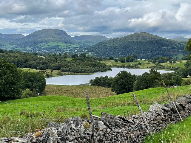
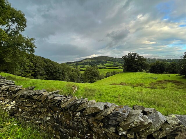
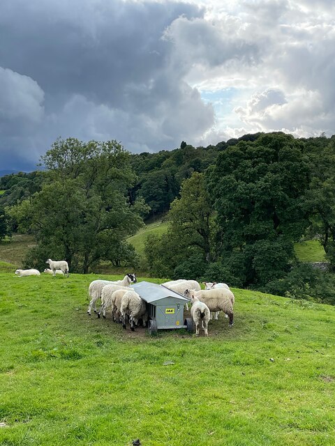
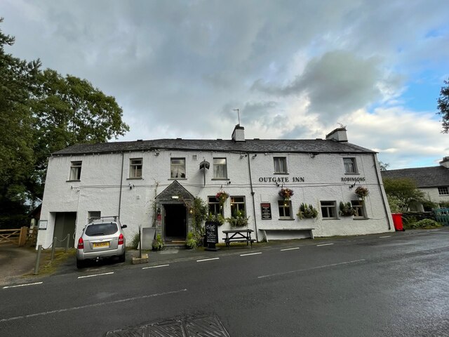
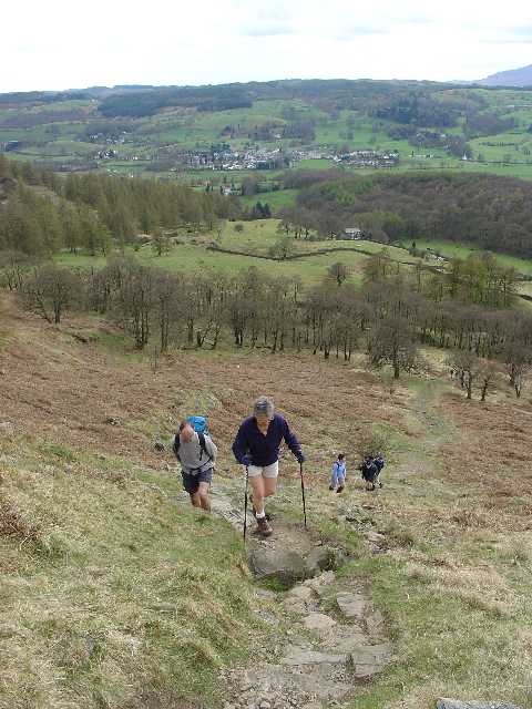
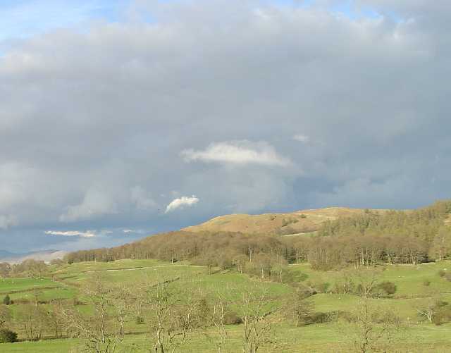
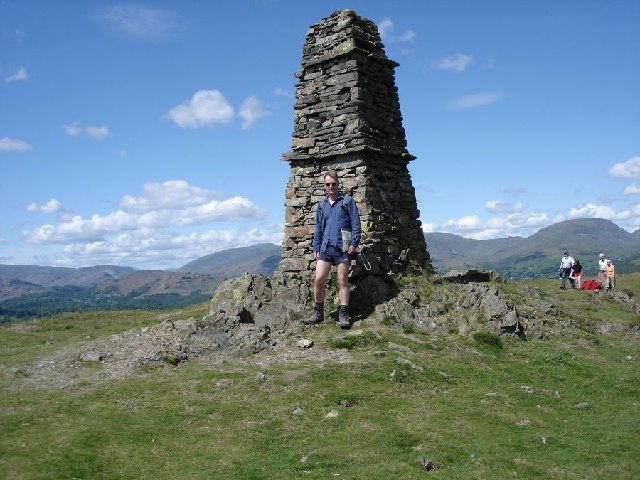
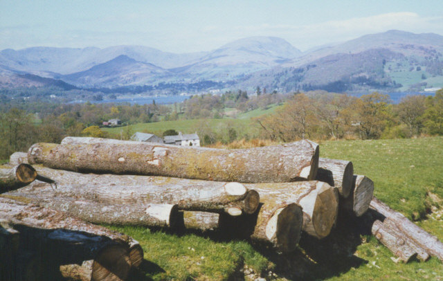
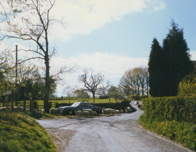
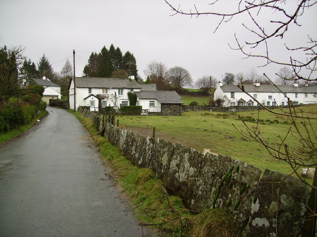
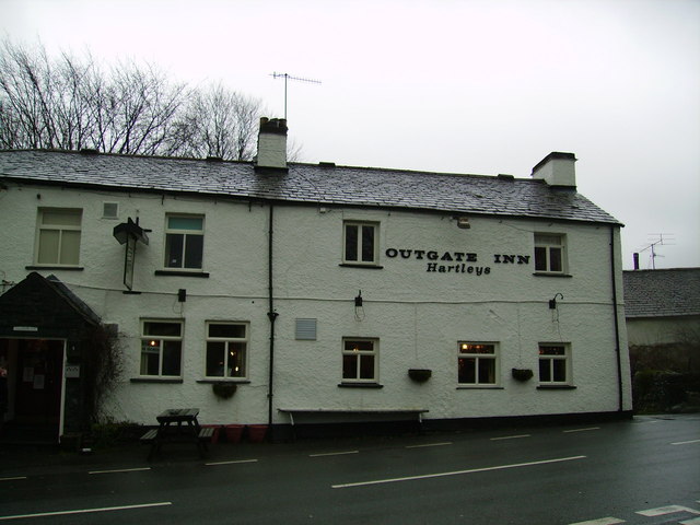
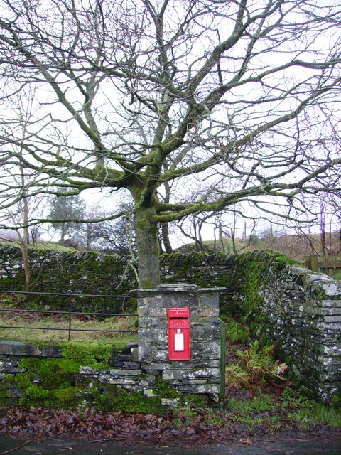
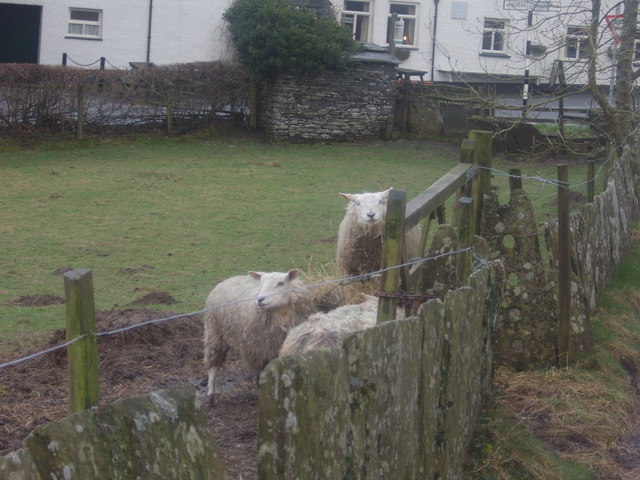
Ben Hessel Coppice Images

Images are sourced within 2km of 54.397414/-2.9694763 or Grid Reference NY3700. Thanks to Geograph Open Source API. All images are credited.

Path on Latterbarrow This is the path from Claife Heights, leading up the south ridge towards the summit of Latterbarrow.
Path on Latterbarrow
This is the path from Claife Heights, leading up the south ridge towards the summit of Latterbarrow.
OS Cut Mark - High Wray, Beyond Fields Fm, Outbuilding <span class="nowrap"><a title="https://www.bench-marks.org.uk/bm56690" rel="nofollow ugc noopener" href="https://www.bench-marks.org.uk/bm56690">Link</a><img style="margin-left:2px;" alt="External link" title="External link - shift click to open in new window" src="https://s1.geograph.org.uk/img/external.png" width="10" height="10"/></span>
OS Cut Mark - High Wray, Beyond Fields Fm, Outbuilding
Path above Waterson Intake The path is the public footpath from Latterbarrow to High Wray.
Windermere is in the middle distance and there is a snow shower over the Kentmere Fells.
Path above Waterson Intake
The path is the public footpath from Latterbarrow to High Wray. Windermere is in the middle distance and there is a snow shower over the Kentmere Fells.
Wall and fields above Blelham Tarn
Farmland near Outgate The distant hill is Latterbarrow.
Farmland near Outgate
The distant hill is Latterbarrow.
Dinner time! An evening meal for these sheep near Outgate.
Dinner time!
An evening meal for these sheep near Outgate.
Outgate Inn Public house & restaurant in Outgate
Outgate Inn
Public house & restaurant in Outgate
Western Slopes of Latterbarrow, Near Hawkshead, Cumbria This grid square is dominated by the small hill of Latterbarrow. The photo shows a group of walkers ascending Latterbarrow from the west.
In the background, the small town of Hawkshead can be seen.
Western Slopes of Latterbarrow, Near Hawkshead, Cumbria
This grid square is dominated by the small hill of Latterbarrow. The photo shows a group of walkers ascending Latterbarrow from the west. In the background, the small town of Hawkshead can be seen.
Latterbarrow. View from Hawkshead Latterbarrow is a local viewpoint for the village of Hawkshead. Accessible by foot after a short walk, the views from the top are excellent in almost 360 degrees. On a good day the Howgills can be seen.
Latterbarrow. View from Hawkshead
Latterbarrow is a local viewpoint for the village of Hawkshead. Accessible by foot after a short walk, the views from the top are excellent in almost 360 degrees. On a good day the Howgills can be seen.
View over Windermere from Red Nab This photograph was taken from the car-park at the end of the unclassified road that leads down to the west shore of Windermere from High Wray.
View over Windermere from Red Nab
This photograph was taken from the car-park at the end of the unclassified road that leads down to the west shore of Windermere from High Wray.
Summit of Latterbarrow
Storm damage
Storm damage
log pile near High Wray A pile of logs left just below the woodland above High Wray, view towards the north end of Windermere.
log pile near High Wray
A pile of logs left just below the woodland above High Wray, view towards the north end of Windermere.
Sheep herding, High Wray
Outgate Another example of slate being used for fencing.These days I imagine posts and wire may be cheaper but not as pretty or long lasting as slate.
Outgate
Another example of slate being used for fencing.These days I imagine posts and wire may be cheaper but not as pretty or long lasting as slate.
Outgate Inn At Outgate. Sad to see the Hartleys sign as I have still not got over the Brewery being taken over by Robinson's many years ago. Hartleys Bitter (they no longer brew ordinary Bitter) was nectar of the gods when originally brewed in Ulverston. Traditional Lakeland beer brewed in Manchester? Well I suppose they took the water first.
Outgate Inn
At Outgate. Sad to see the Hartleys sign as I have still not got over the Brewery being taken over by Robinson's many years ago. Hartleys Bitter (they no longer brew ordinary Bitter) was nectar of the gods when originally brewed in Ulverston. Traditional Lakeland beer brewed in Manchester? Well I suppose they took the water first.
Post Box, Outgate Handily placed just across the road from the Pub.
Post Box, Outgate
Handily placed just across the road from the Pub.
Outgate sheep Note the slate stone fence.
Outgate sheep
Note the slate stone fence.
Show me another place!

Ben Hessel Coppice is located at Grid Ref: NY3700 (Lat: 54.397414, Lng: -2.9694763)

Administrative County: Cumbria

District: South Lakeland

Police Authority: Cumbria

What 3 Words

///firewall.eaten.loudly. Near Ambleside, Cumbria

Related Wikis

RMS Wray Castle

RMS Wray Castle was a training college for Merchant Navy radio officers based at Wray Castle in the Lake District, from 1958 to 1998.At 11:40 p.m., on...
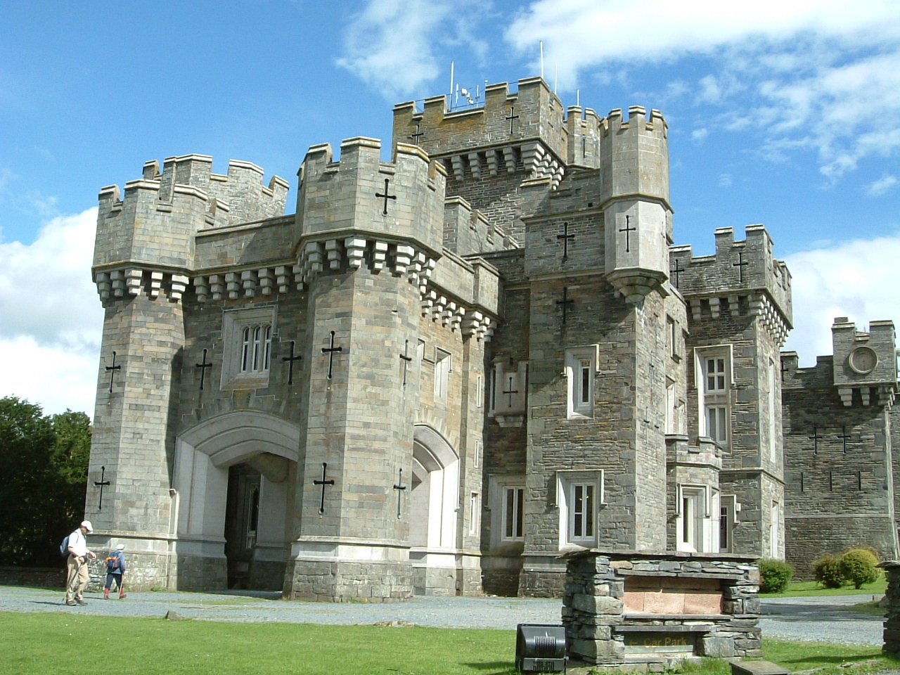
Wray Castle

Wray Castle is a Victorian neo-gothic building at Claife in Cumbria within the boundaries of the historic county of Lancashire. The house and grounds have...

Blelham Tarn

Blelham Tarn is a large valley tarn in the Lake District of England, to the north of the hill Latterbarrow. The settlements of Outgate, Low Wray and High...

Latterbarrow

Latterbarrow is a hill in the English Lake District, east of Hawkshead, Cumbria. It is the subject of a chapter of Wainwright's book The Outlying Fells...

Nearby Amenities

Located within 500m of 54.397414,-2.9694763
Source: Landsat photo
Lat/Long: 54.3977082/-2.9770137
Source: Landsat photo
Lat/Long: 54.3979705/-2.976842
Source: Landsat photo
Lat/Long: 54.3980704/-2.9761768
Source: Landsat photo
Lat/Long: 54.3976457/-2.9759193
Source: Landsat photo
Lat/Long: 54.3971908/-2.974489
Source: Landsat photo
Lat/Long: 54.3969711/-2.9746104
Source: Landsat photo
Lat/Long: 54.3966463/-2.9746319
Source: Landsat photo
Lat/Long: 54.3964964/-2.9746319
Source: Landsat photo
Lat/Long: 54.3963296/-2.9743838
Source: Landsat photo
Lat/Long: 54.3960923/-2.9742766
Source: Landsat photo
Lat/Long: 54.3958299/-2.9746199
Source: Landsat photo
Lat/Long: 54.3955301/-2.975328
Source: Landsat photo
Lat/Long: 54.3957691/-2.962963
Source: Landsat photo
Lat/Long: 54.3961867/-2.9622607
Source: Landsat photo
Lat/Long: 54.3977831/-2.9620577
Source: Landsat photo
Lat/Long: 54.3981665/-2.9622976
Bus Stop
The Lodge-Wray Castle
Naptan AtcoCode: 090079131320
Naptan Bearing: E
Naptan BusStopType: CUS
Naptan CommonName: The Lodge-Wray Castle
Naptan Indicator: o/s
Naptan Landmark: The Lodge Wray Castle
Naptan NaptanCode: cumdgtgd
Naptan Street: No name
Naptan Verified: no
Source: naptan_import
Lat/Long: 54.3980027/-2.9695206
Note: noted, not followed
Lat/Long: 54.395912/-2.9702456
Post Box
Ref: LA22 176
Lat/Long: 54.400836/-2.9650967
Cafe
The Kitchen Court Cafe
Addr City: Low Wray
Addr Housename: Wray Castle
Addr Postcode: LA22 0JA
Fhrs Id: 1229968
Lat/Long: 54.4004379/-2.9641651
Toilets
Access: yes
Lat/Long: 54.4004633/-2.9642139
The data included in this document is from www.openstreetmap.org. The data is made available under ODbL.

Have you been to Ben Hessel Coppice?

Leave your review of Ben Hessel Coppice below (or comments, questions and feedback).