Paradise Wood

Wood, Forest in Herefordshire

England

Paradise Wood

Footpath west from Tremorithic Road Ash is turning colour early this year.
Footpath west from Tremorithic Road Credit: Jonathan Billinger

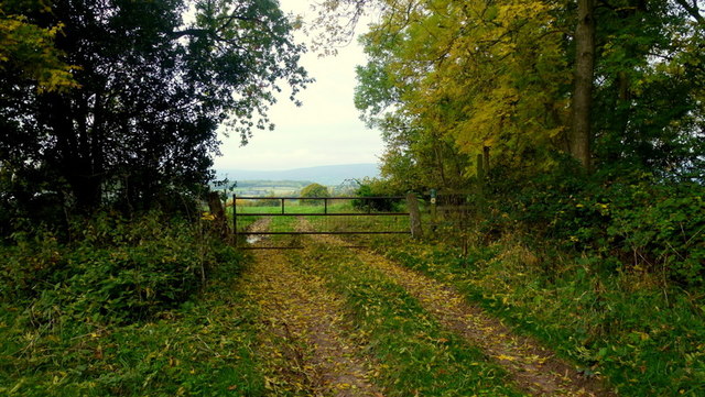
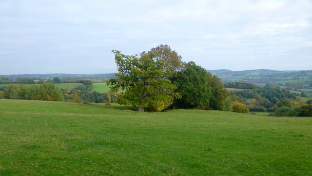
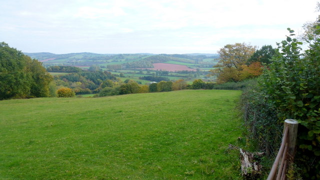
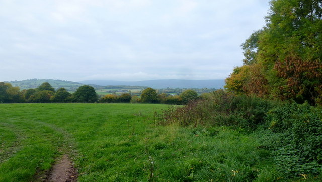
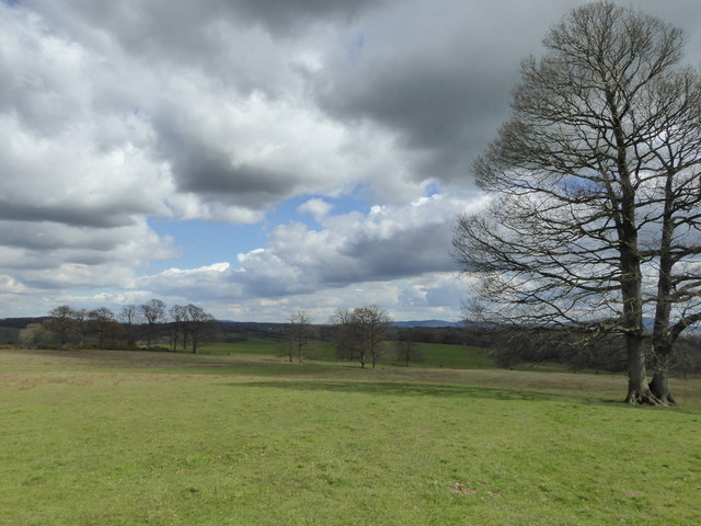
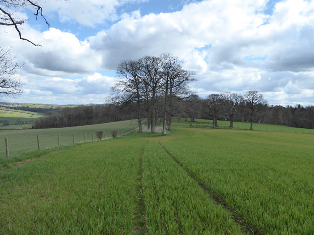
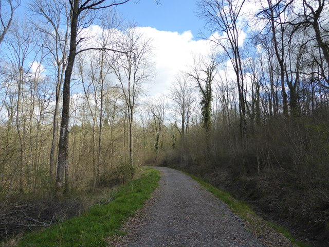
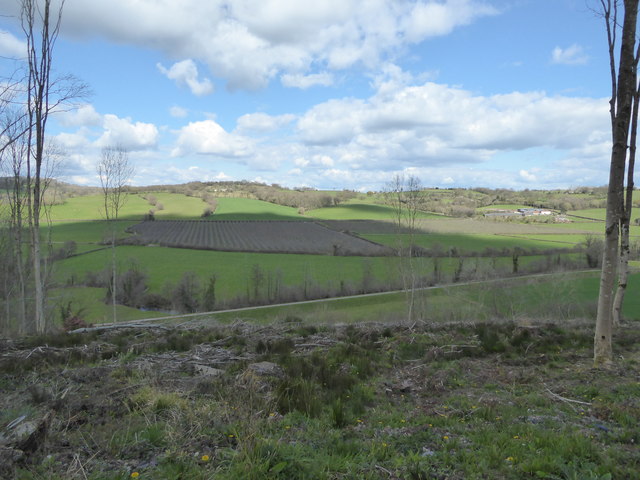
Paradise Wood is a charming woodland located in Herefordshire, a county in the West Midlands region of England. Situated in the heart of the county, this forested area covers an expanse of approximately 100 acres, offering visitors a tranquil and picturesque retreat from the hustle and bustle of everyday life.

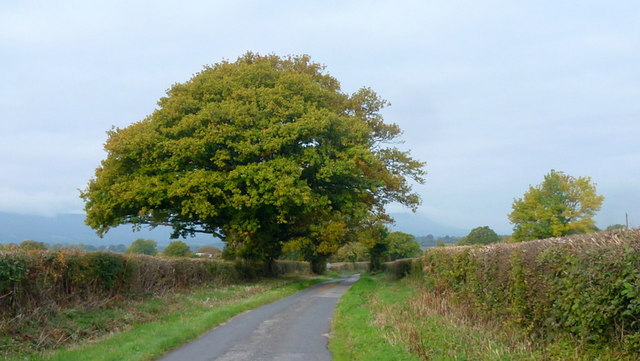
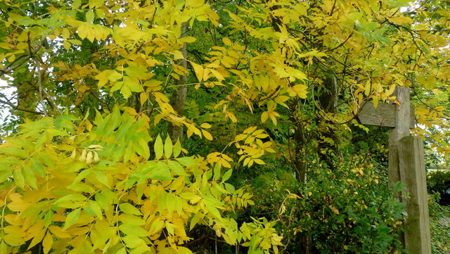
The wood is renowned for its diverse range of tree species, including oak, beech, and ash, creating a rich tapestry of colors throughout the year. Walking through the wood, one can encounter a variety of wildlife, such as deer, foxes, and a myriad of bird species, making it a haven for nature enthusiasts.

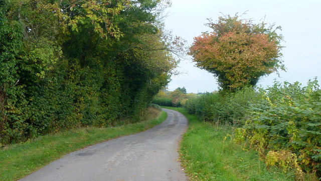
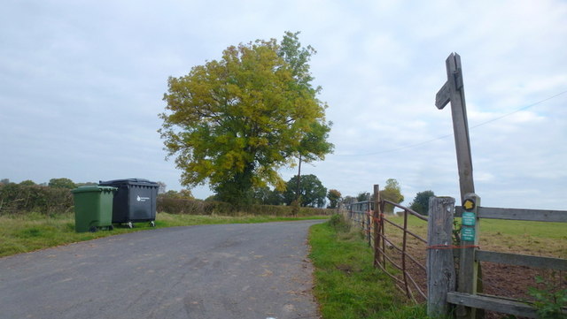
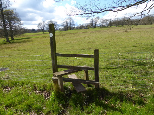
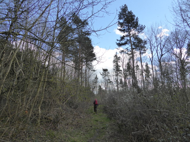
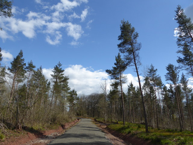
Paradise Wood is also home to a network of well-maintained walking trails, providing visitors with the opportunity to explore its beauty at their own pace. These paths wind through the woodland, offering scenic views and hidden spots perfect for picnics or quiet contemplation.

For those seeking a more immersive experience, Paradise Wood offers camping facilities, allowing visitors to spend the night under the canopy of trees. This unique experience provides a chance to truly connect with nature and enjoy the peacefulness that the wood has to offer.

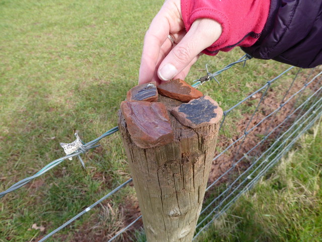
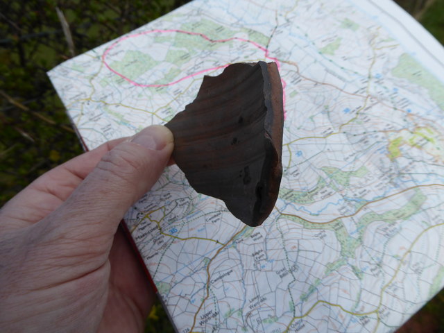
Furthermore, the wood has a rich historical significance, with evidence of human habitation dating back to the Neolithic period. Archaeological excavations have revealed artifacts and structures, further enhancing the allure and mystique of this ancient woodland.

Paradise Wood in Herefordshire is a true gem, offering a serene and captivating experience for nature lovers, history enthusiasts, and those seeking an escape into the beauty of the natural world.

If you have any feedback on the listing, please let us know in the comments section below.

Paradise Wood Images

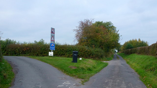
Images are sourced within 2km of 51.983867/-2.918914 or Grid Reference SO3632. Thanks to Geograph Open Source API. All images are credited.

Footpath west from Tremorithic Road Ash is turning colour early this year.
Footpath west from Tremorithic Road
Ash is turning colour early this year.
View over the Golden Valley, 1 Looking north from the Tremorithic Road to the west of Abbey Dore.
View over the Golden Valley, 1
Looking north from the Tremorithic Road to the west of Abbey Dore.
View over the Golden Valley, 2 Looking north from the Tremorithic Road to the west of Abbey Dore.
View over the Golden Valley, 2
Looking north from the Tremorithic Road to the west of Abbey Dore.
Tremorithic Road Looking west, away from Abbey Dore.
Tremorithic Road
Looking west, away from Abbey Dore.
Mill Lane at Tremorithic Road The warning sign is for the ford across the Dulas Brook.
Mill Lane at Tremorithic Road
The warning sign is for the ford across the Dulas Brook.
Oaks by Tremorithic Road Still green as at 17th October 2015.
Oaks by Tremorithic Road
Still green as at 17th October 2015.
Farm track and public footpath To Holling Grange Farm pictured from Tremorithic Road.
Farm track and public footpath
To Holling Grange Farm pictured from Tremorithic Road.
View over the Dulas Valley View from Tremorithic, with the dome of Mynydd Merddin to the left and the Hatterrall ridge in the far distance.
View over the Dulas Valley
View from Tremorithic, with the dome of Mynydd Merddin to the left and the Hatterrall ridge in the far distance.
Ash foliage by the footpath signpost This sight is destined to be a rarity as Ash dieback disease spreads across the UK.
Ash foliage by the footpath signpost
This sight is destined to be a rarity as Ash dieback disease spreads across the UK.
Part of the Herefordshire Trail near St. Margarets Link to a Wikipedia article on this lovely long distance walk here <span class="nowrap"><a title="https://en.wikipedia.org/wiki/Herefordshire_Trail" rel="nofollow ugc noopener" href="https://en.wikipedia.org/wiki/Herefordshire_Trail">Link</a><img style="margin-left:2px;" alt="External link" title="External link - shift click to open in new window" src="https://s1.geograph.org.uk/img/external.png" width="10" height="10"/></span>
Part of the Herefordshire Trail near St. Margarets
Link to a Wikipedia article on this lovely long distance walk here LinkExternal link
Stile on the Herefordshire Trail Looking back towards Park Farm and St. Margarets.
Stile on the Herefordshire Trail
Looking back towards Park Farm and St. Margarets.
Field edge walking on the Herefordshire Trail Lots of pottery sherds to be found in the ploughsoil here.
Field edge walking on the Herefordshire Trail
Lots of pottery sherds to be found in the ploughsoil here.
Pottery sherds found on the ploughsoil surface Medieval pottery I think. These are sherds my walking partner found in maybe two minutes, or less, strolling down the ploughsoil, that she spotted, having no field-walking training or experience. There's obviously more there than we saw. 

This little assemblage seems to be from at least 4 separate vessels. I'm no expert but it looks medieval to me. That is not prehistoric, not more recent such as Victorian.
Pottery sherds found on the ploughsoil surface
Medieval pottery I think. These are sherds my walking partner found in maybe two minutes, or less, strolling down the ploughsoil, that she spotted, having no field-walking training or experience. There's obviously more there than we saw. This little assemblage seems to be from at least 4 separate vessels. I'm no expert but it looks medieval to me. That is not prehistoric, not more recent such as Victorian.
Pottery sherd found on the ploughsoil surface Nice piece.
Pottery sherd found on the ploughsoil surface
Nice piece.
On the Herefordshire Trail in Llan Arw Woods I like to see Welsh place names in English Herefordshire.
On the Herefordshire Trail in Llan Arw Woods
I like to see Welsh place names in English Herefordshire.
Logging track in forestry Not the best walking as you can't see much.
Logging track in forestry
Not the best walking as you can't see much.
Track in the wood Nicer woodland here.
Track in the wood
Nicer woodland here.
View from Llan Arw woods over the Dore valley Lovely countryside.
View from Llan Arw woods over the Dore valley
Lovely countryside.
Show me another place!

Paradise Wood is located at Grid Ref: SO3632 (Lat: 51.983867, Lng: -2.918914)

Unitary Authority: County of Herefordshire

Police Authority: West Mercia

What 3 Words

///constrain.tame.escape. Near Bacton, Herefordshire

Nearby Locations

Paradise Wood

Related Wikis

Bacton, Herefordshire

Bacton (Welsh: Bactwn) is a small village in a rural area of south-west Herefordshire, England, 14 miles (23 km) from Hereford. == History == One mile...

Bacton railway station

Bacton railway station was a station in Bacton, Herefordshire, England. It was located on the Great Western Railway branch line linking Pontrilas and Hay...

Abbeydore railway station

Abbeydore railway station was a station in Abbey Dore, Herefordshire, England. It was located on the Great Western Railway branch line linking Pontrilas...

Abbey Dore Court

Abbey Dore Court is a country house in Abbey Dore, Herefordshire, England. It was built in the Golden Valley in 1861 for Thomas Freke Lewis. It includes...

Nearby Amenities

Located within 500m of 51.983867,-2.918914
Bacton
Is In: Hereford and Worcester, England, UK
Place: village
Source: npe
Wikidata: Q2294131
Lat/Long: 51.9863711/-2.9169594
Barrier: stile
Material: wood
Source: survey
Stile: stepover
Lat/Long: 51.9818636/-2.9163829
Barrier: stile
Lat/Long: 51.9820549/-2.9229951
Note: waymarker here
Lat/Long: 51.9818257/-2.9130319
Generator Method: photovoltaic
Generator Output Electricity: yes
Generator Source: solar
Generator Type: solar_photovoltaic_panel
Location: roof
Power: generator
Lat/Long: 51.9859671/-2.9164141
Atm
Lat/Long: 51.9833669/-2.9215476
The data included in this document is from www.openstreetmap.org. The data is made available under ODbL.

Have you been to Paradise Wood?

Leave your review of Paradise Wood below (or comments, questions and feedback).