Bishop Woods
Wood, Forest in Lancashire South Lakeland
England
Bishop Woods
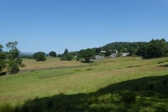
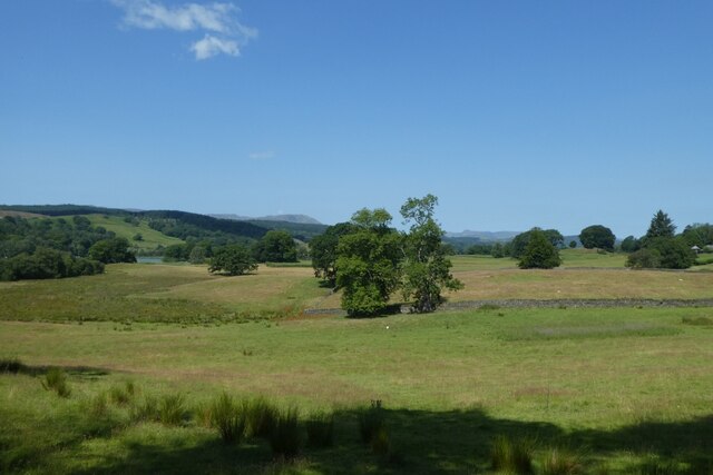
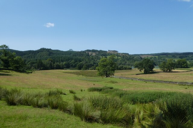
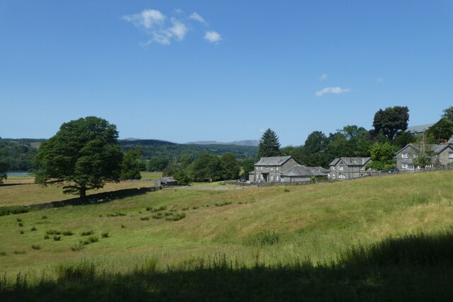
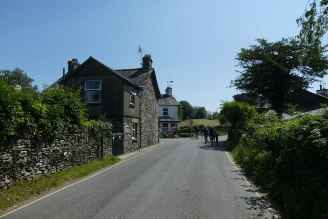
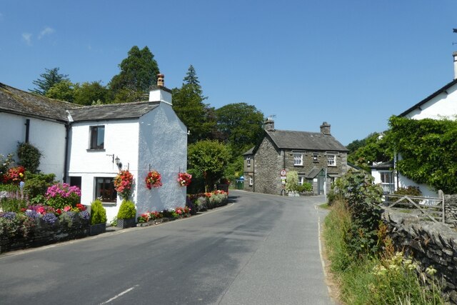
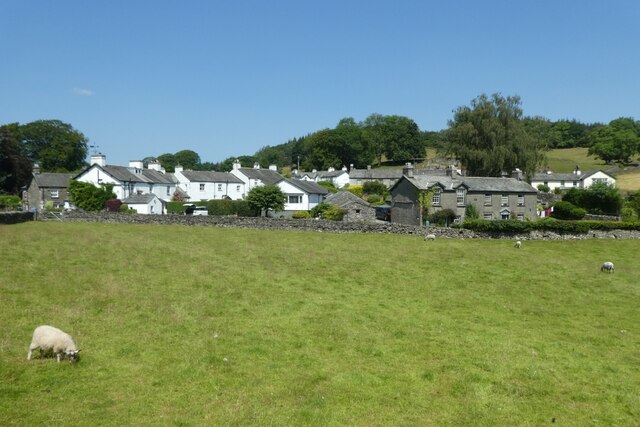
Bishop Woods, located in the county of Lancashire, England, is a small village renowned for its lush woodlands and picturesque landscapes. Situated near the larger town of Burnley, Bishop Woods derives its name from the abundance of forests and wooded areas that surround the area.
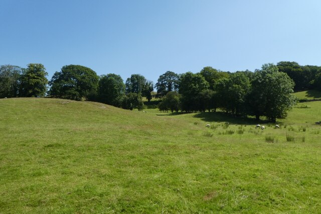
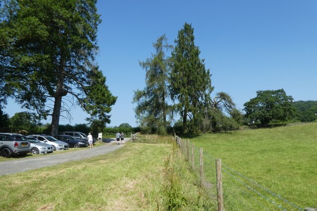
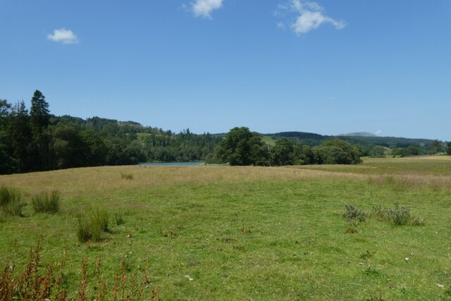
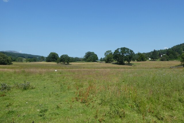
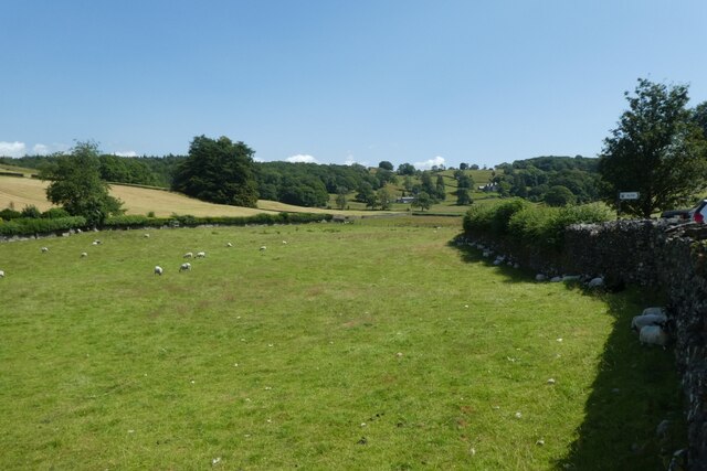
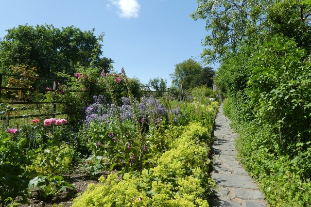
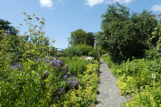
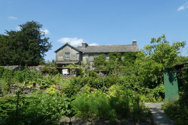
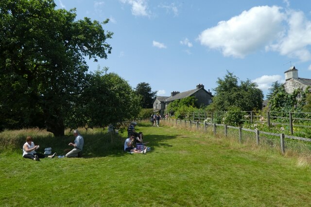
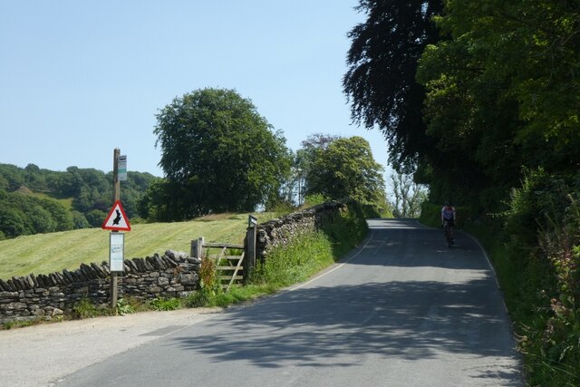
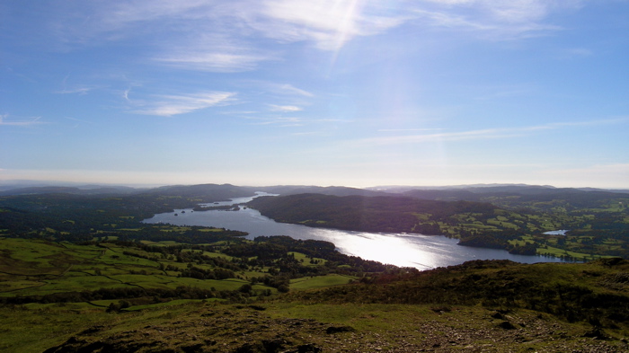
The village is widely recognized for its natural beauty, with dense woodlands covering the majority of its landscape. The trees, predominantly oak and beech, create a serene and tranquil atmosphere, attracting nature enthusiasts and hikers from near and far. The vibrant greenery and diverse wildlife make Bishop Woods an ideal location for birdwatching and wildlife spotting, with a variety of species calling this area their home.
Despite its relatively small size, the village boasts a close-knit community that takes pride in its natural surroundings. The residents are known for their commitment to preserving the local environment, actively engaging in conservation efforts and organizing community events centered around nature and the outdoors.
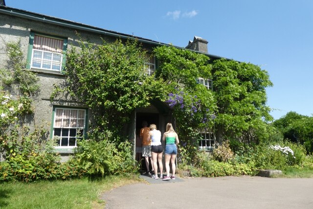
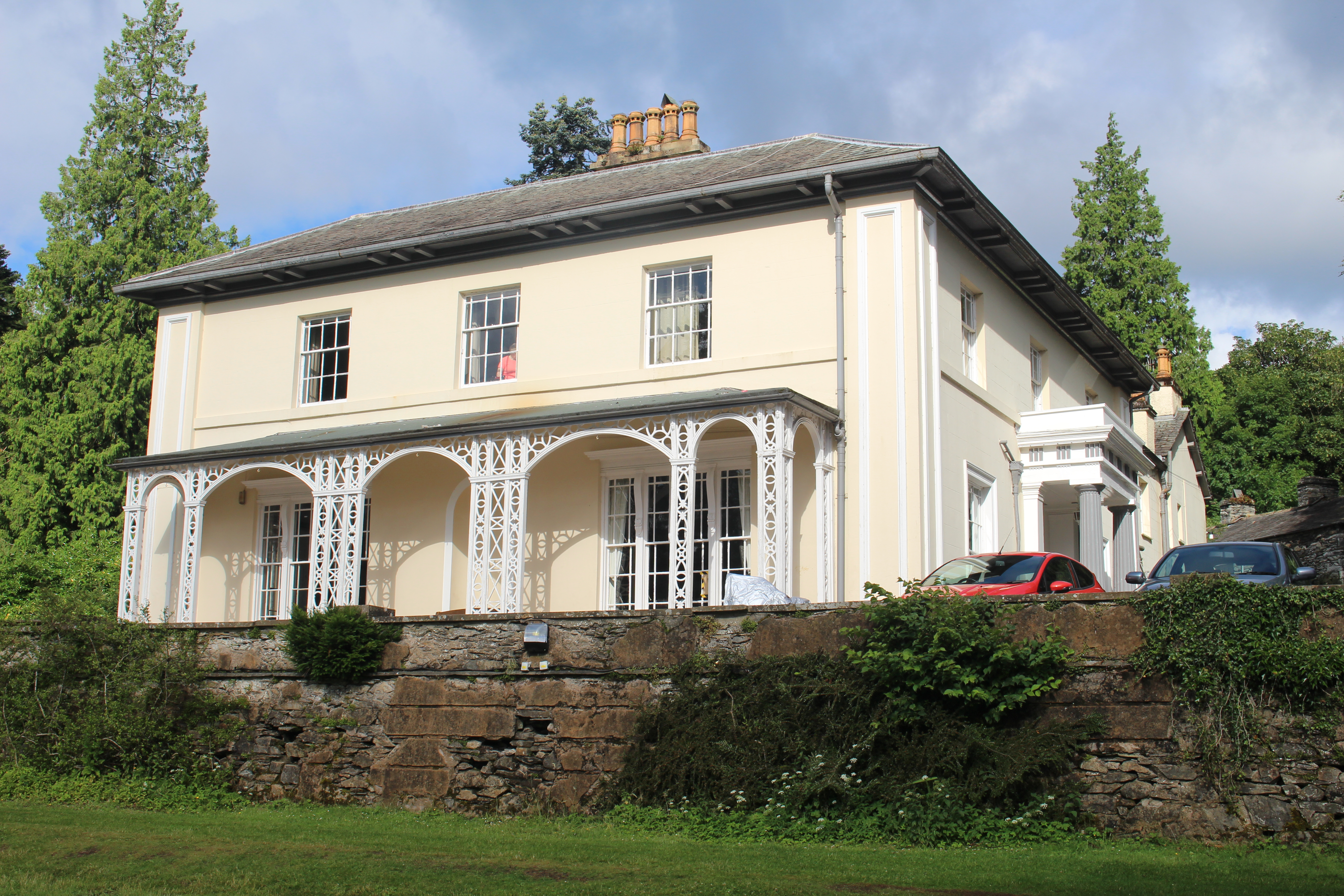
In addition to its natural attractions, Bishop Woods offers a range of amenities to its residents and visitors. The village is home to a charming local pub, serving traditional English fare and providing a cozy gathering place for locals and tourists alike. Nearby, there are also a handful of bed and breakfasts, providing comfortable accommodation for those looking to explore the area further.
Overall, Bishop Woods, Lancashire is a hidden gem, offering a peaceful retreat for nature lovers seeking solace in its enchanting woodlands and warm community spirit.
If you have any feedback on the listing, please let us know in the comments section below.
Bishop Woods Images
Images are sourced within 2km of 54.346003/-2.9720962 or Grid Reference SD3694. Thanks to Geograph Open Source API. All images are credited.
Bishop Woods is located at Grid Ref: SD3694 (Lat: 54.346003, Lng: -2.9720962)
Administrative County: Cumbria
District: South Lakeland
Police Authority: Cumbria
What 3 Words
///nearing.highlighted.ignoring. Near Windermere, Cumbria
Nearby Locations
Related Wikis

Hill Top, Cumbria
Hill Top is a 17th-century house in Near Sawrey near Hawkshead, in the English county of Cumbria. It is an example of Lakeland vernacular architecture...

Near and Far Sawrey
Near Sawrey and Far Sawrey are two neighbouring villages in the Furness area of Cumbria, England. Within the boundaries of the historic county of Lancashire...

Esthwaite Water
Esthwaite Water is one of the smaller and lesser known lakes in the Lake District National Park in northern England. It is situated between the much larger...

Moss Eccles Tarn
Moss Eccles Tarn is a tarn on Claife Heights, near Near Sawrey in the Lake District, Cumbria. It is currently owned by the National Trust and known as...

Hawkshead and Claife
Hawkshead and Claife is a National Trust property made up of much of the town of Hawkshead and surrounding Claife Woodlands in Cumbria, England. Overlooking...

Cunsey Beck
Cunsey Beck is one of several rivers and streams that replenish the lake of Windermere in the English Lake District. Being just over two miles (3.2 km...
Esthwaite Lodge
Esthwaite Lodge is a 19th-century house in Hawkshead, Cumbria, England; it is a Grade II listed building. The house was commissioned by Thomas Alcock...
Windermere Way
The Windermere Way is a 45-mile circuit of Windermere, a lake in the English Lake District. The route is wholly within the Lake District National Park...
Nearby Amenities
Located within 500m of 54.346003,-2.9720962Have you been to Bishop Woods?
Leave your review of Bishop Woods below (or comments, questions and feedback).