Broomhill Plantation

Wood, Forest in Westmorland Eden

England

Broomhill Plantation

Looking to St Sunday Crag from Fairfield Looking across the upland landscape from the top of Fairfield to St Sunday Crag.
Looking to St Sunday Crag from Fairfield Credit: Graham Robson

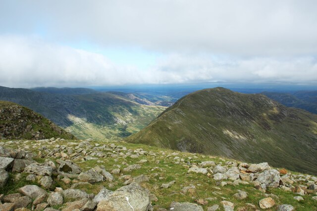
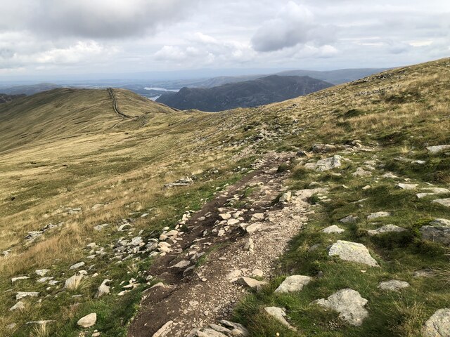
Broomhill Plantation is a picturesque woodland located in the county of Westmorland, England. Situated in the heart of the Lake District National Park, the plantation is known for its rich biodiversity and stunning natural beauty. Covering an area of approximately 500 acres, this wooded area is a haven for flora and fauna, making it a popular destination for nature enthusiasts and hikers alike.

The plantation is primarily composed of native tree species, such as oak, ash, birch, and beech, which create a dense canopy that provides shade and shelter for a variety of plants and animals. The forest floor is adorned with a diverse range of wildflowers, including bluebells, primroses, and wood anemones, creating a vibrant and colorful display during the spring months.

Wildlife thrives within Broomhill Plantation, with numerous species calling it home. Visitors may catch a glimpse of red squirrels darting through the treetops or hear the melodic songs of woodland birds such as thrushes and warblers. The plantation is also home to a variety of small mammals, including badgers and foxes, which can be spotted during quiet walks in the early morning or evening.

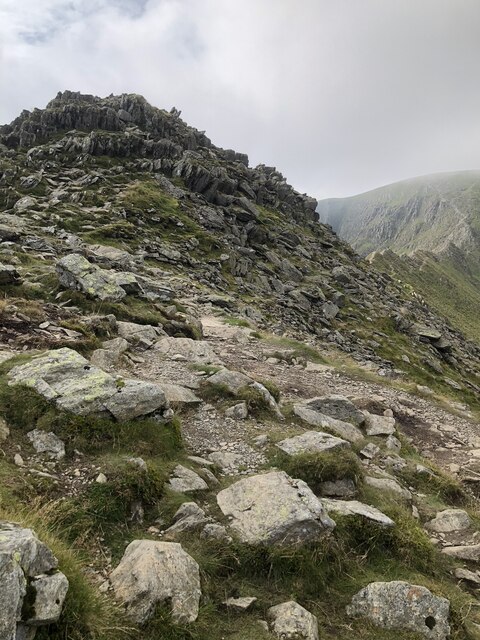
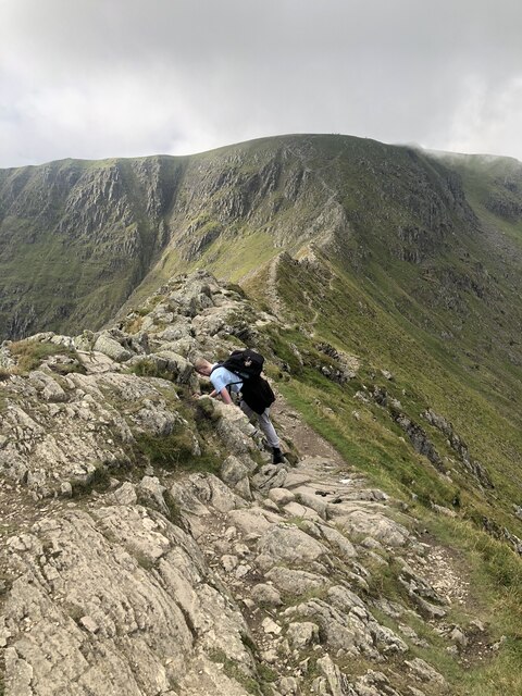
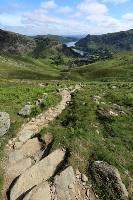
The woodland is crisscrossed by a network of well-maintained paths that allow visitors to explore the plantation at their leisure. These trails offer the opportunity to discover the diverse ecosystems within the woodland, from ancient oak groves to peaceful streams and small ponds. Broomhill Plantation truly is a natural treasure, providing visitors with an immersive and tranquil experience in the heart of the Westmorland countryside.

If you have any feedback on the listing, please let us know in the comments section below.

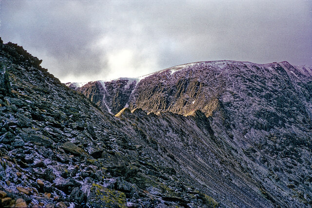
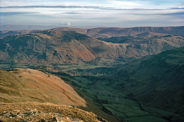
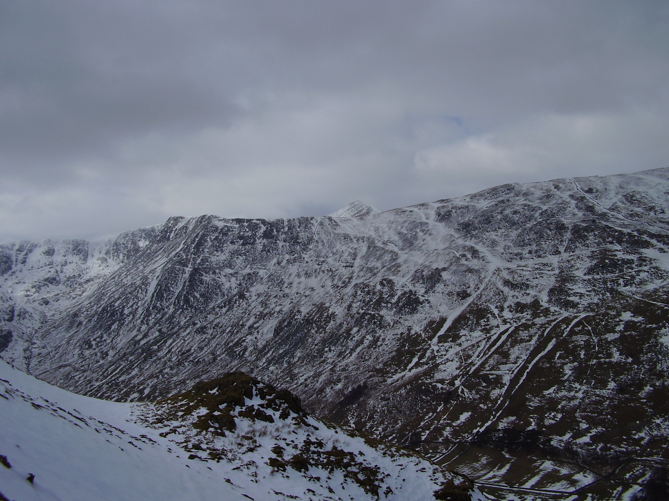
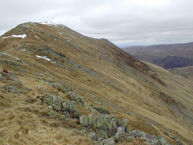
Broomhill Plantation Images

Images are sourced within 2km of 54.525588/-2.9789546 or Grid Reference NY3614. Thanks to Geograph Open Source API. All images are credited.

Looking to St Sunday Crag from Fairfield Looking across the upland landscape from the top of Fairfield to St Sunday Crag.
Looking to St Sunday Crag from Fairfield
Looking across the upland landscape from the top of Fairfield to St Sunday Crag.
Mires Beck On the lower eastern slope of Birkhouse Moor.
Mires Beck
On the lower eastern slope of Birkhouse Moor.
Path across Birkhouse Moor
Path & wall between Birkhouse Moor and Striding Edge
Looking back along the path above Bleaberry Crag
High Spying How at the start of Striding Edge
On Striding Edge
On Striding Edge
The path to Glenridding
Pitch path in Little Cove Being one of the more popular routes from Glenridding onto Helvellyn via Striding Edge, the path following Mires Beck was inevitably subject to a lot of erosion. On this steeper section, potential gullying has been prevented by an excellent piece of path construction using stone that blends in with its surroundings. The view down to Glenridding and Ullswater is a splendid excuse for those labouring upwards to take a break and get the camera out.
Pitch path in Little Cove
Being one of the more popular routes from Glenridding onto Helvellyn via Striding Edge, the path following Mires Beck was inevitably subject to a lot of erosion. On this steeper section, potential gullying has been prevented by an excellent piece of path construction using stone that blends in with its surroundings. The view down to Glenridding and Ullswater is a splendid excuse for those labouring upwards to take a break and get the camera out.
Peaty ponds punctuate path on Birkhouse Moor One of two paths climbing the fell to Striding Edge, the one coming up Little Cove from Gillside encounters more wet ground on the crest of the ridge than it did on its ascent of the cirque. Even in a long, hot, dry summer like 2022, these peaty ponds show the water table to be barely below the ground surface. Looking over the valley of Red Tarn Beck, the view extends to Catstycam and Swirral Edge and beyond them, the long north ridge of Helvellyn to Raise.
Peaty ponds punctuate path on Birkhouse Moor
One of two paths climbing the fell to Striding Edge, the one coming up Little Cove from Gillside encounters more wet ground on the crest of the ridge than it did on its ascent of the cirque. Even in a long, hot, dry summer like 2022, these peaty ponds show the water table to be barely below the ground surface. Looking over the valley of Red Tarn Beck, the view extends to Catstycam and Swirral Edge and beyond them, the long north ridge of Helvellyn to Raise.
Looking back towards Hole in the Wall from High Spying How High Spying How marks the end of the easy ascent from Glenridding over the at times broad path that can be seen in the distance leading from Hole in the Wall. It's best not to be here heading upwards unless you have a head for heights and decent footwear (if you are heading down at this point without those attributes and have come from Helvellyn's summit, well done for surviving this far).
Looking back towards Hole in the Wall from High Spying How
High Spying How marks the end of the easy ascent from Glenridding over the at times broad path that can be seen in the distance leading from Hole in the Wall. It's best not to be here heading upwards unless you have a head for heights and decent footwear (if you are heading down at this point without those attributes and have come from Helvellyn's summit, well done for surviving this far).
Path over High Spying How After the hard work of climbing 700m from the shores of Ullswater at Glenridding, there's only 100m of up to reach Helvellyn, and it is all a lot more fun than what has gone before. Well, as long as you are one of those who feel happy on exposed scrambles, of course. This is the start of Striding Edge, and it is essential to stick rigidly to the crest at all times (there are skulkers' routes round quite a lot of it, really).
Path over High Spying How
After the hard work of climbing 700m from the shores of Ullswater at Glenridding, there's only 100m of up to reach Helvellyn, and it is all a lot more fun than what has gone before. Well, as long as you are one of those who feel happy on exposed scrambles, of course. This is the start of Striding Edge, and it is essential to stick rigidly to the crest at all times (there are skulkers' routes round quite a lot of it, really).
One of the more intimidating public footpaths There are lots of routes in the Lake District for those who like scrambling and Striding Edge is by no means one of the more difficult ones. However, it is unusual for a technical route in being a public footpath, leading some to underestimate the level of fun to be had. Particularly when seen from the top, it can be an intimidating prospect if you were expecting a walk (as clearly some of the folk we met on this summer day had been). Most of the difficulties do, in fact, have skulkers' routes and only the purists will stick rigidly to the crest all the way (our dog was allowed to cheat on some bits...)
One of the more intimidating public footpaths
There are lots of routes in the Lake District for those who like scrambling and Striding Edge is by no means one of the more difficult ones. However, it is unusual for a technical route in being a public footpath, leading some to underestimate the level of fun to be had. Particularly when seen from the top, it can be an intimidating prospect if you were expecting a walk (as clearly some of the folk we met on this summer day had been). Most of the difficulties do, in fact, have skulkers' routes and only the purists will stick rigidly to the crest all the way (our dog was allowed to cheat on some bits...)
Ruined wall, Birkhouse Moor
Memorial to Robert Dixon on Striding Edge, Helvellyn This marks where Robert Dixon who was following the Patterdale Foxhounds had an accident that led to his death the next day.  On OS Maps the feature is marked as a Cross.  The accident occurred on November 27 1858.
Memorial to Robert Dixon on Striding Edge, Helvellyn
This marks where Robert Dixon who was following the Patterdale Foxhounds had an accident that led to his death the next day. On OS Maps the feature is marked as a Cross. The accident occurred on November 27 1858.
High Spying How, Striding Edge and Helvellyn A January day on a traverse of Helvellyn.
High Spying How, Striding Edge and Helvellyn
A January day on a traverse of Helvellyn.
Grisedale from a path to Striding Edge I confess that I seem to have exhausted all the routes to pinpoint the exact position of this image. This is certainly Grisedale and the walk along Striding Edge started in Patterdale.  I have examined all the relevant Geograph images between this area of the walk and Patterdale/Glenridding and this is the best solution.  But why has no one else taken this view again for Geograph in the last 48 years?
Grisedale from a path to Striding Edge
I confess that I seem to have exhausted all the routes to pinpoint the exact position of this image. This is certainly Grisedale and the walk along Striding Edge started in Patterdale. I have examined all the relevant Geograph images between this area of the walk and Patterdale/Glenridding and this is the best solution. But why has no one else taken this view again for Geograph in the last 48 years?
Low crag and broken wall on east side of Birks The wall which descends from high on the hill is almost completely collapsed.
Place Fell is at the centre of the image, Arnison Crag is nearer and to the right.
Low crag and broken wall on east side of Birks
The wall which descends from high on the hill is almost completely collapsed. Place Fell is at the centre of the image, Arnison Crag is nearer and to the right.
Show me another place!

Broomhill Plantation is located at Grid Ref: NY3614 (Lat: 54.525588, Lng: -2.9789546)

Administrative County: Cumbria

District: Eden

Police Authority: Cumbria

What 3 Words

///sung.curries.wobbling. Near Ambleside, Cumbria

Related Wikis

Birkhouse Moor

Birkhouse Moor is a fell in the English Lake District, an outlier of the Helvellyn range in the Eastern Fells. It is properly an eastern ridge of Helvellyn...

St Sunday Crag

St Sunday Crag is a fell in the English Lake District, part of the Fairfield group in the Eastern Fells. It is a prominent feature in the Patterdale skyline...

Birks (Lake District)

Birks is a fell in the English Lake District situated two kilometres south west of the village of Patterdale in the Eastern Fells. The fells summit sits...

Red Tarn

Red Tarn is a small lake in the eastern region of the English Lake District, in the county of Cumbria. It is high up on the eastern flank of Helvellyn...

Nearby Amenities

Located within 500m of 54.525588,-2.9789546
Ford: yes
Lat/Long: 54.523739/-2.9853617
Ford: yes
Lat/Long: 54.5243958/-2.9828332
Grisedale
Place: locality
Lat/Long: 54.522545/-2.9829757
Ford: yes
Lat/Long: 54.5271979/-2.9786544
Ford: yes
Lat/Long: 54.5270818/-2.9788984
The data included in this document is from www.openstreetmap.org. The data is made available under ODbL.

Have you been to Broomhill Plantation?

Leave your review of Broomhill Plantation below (or comments, questions and feedback).