Bakers Copse
Wood, Forest in Somerset South Somerset
England
Bakers Copse

Bakers Copse is a small woodland located in Somerset, England. Situated near the village of Bakers Cross, it covers an area of approximately 10 acres. The copse is primarily composed of various deciduous trees, including oak, beech, and ash, creating a rich and diverse habitat.
The woodland is known for its picturesque beauty, with a dense canopy that provides shade and shelter for a variety of flora and fauna. Bluebells carpet the forest floor in spring, creating a stunning display of vibrant colors. The copse also features a small stream that meanders through the trees, adding to its natural charm.
Bakers Copse has a long history, dating back several centuries. It was once part of a larger forest that covered the region, providing timber for local communities. Today, it serves as a peaceful retreat for nature enthusiasts, offering opportunities for walking, birdwatching, and photography.
The woodland is home to a range of wildlife, including squirrels, badgers, and numerous species of birds. It provides an important habitat for woodland birds such as robins, blackbirds, and great tits. The copse also hosts a variety of insects, butterflies, and small mammals, contributing to the overall biodiversity of the area.
Bakers Copse is open to the public year-round, allowing visitors to explore its tranquil surroundings and enjoy the beauty of nature. It is a popular destination for local residents and tourists seeking a peaceful escape from the hustle and bustle of everyday life.
If you have any feedback on the listing, please let us know in the comments section below.
Bakers Copse Images
Images are sourced within 2km of 50.923343/-2.9022968 or Grid Reference ST3614. Thanks to Geograph Open Source API. All images are credited.


Bakers Copse is located at Grid Ref: ST3614 (Lat: 50.923343, Lng: -2.9022968)
Administrative County: Somerset
District: South Somerset
Police Authority: Avon and Somerset
What 3 Words
///rainy.crouches.arching. Near Ilminster, Somerset
Nearby Locations
Related Wikis

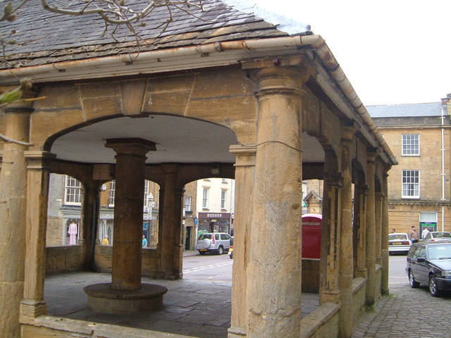
Ilminster
Ilminster is a minster town and civil parish in the South Somerset district of Somerset, England, with a population of 5,808. Bypassed in 1988, the town...
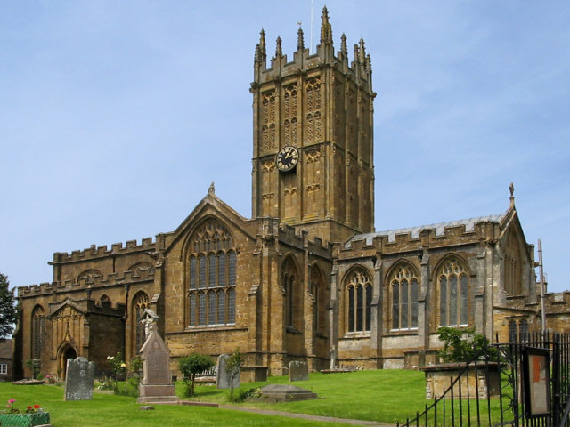
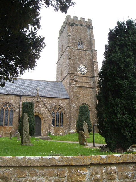
St Mary's Church, Ilminster
The Church of St Mary in Ilminster, Somerset, England, dates from the 15th century and has been designated as a Grade I listed building. == History... ==
Kingstone, Somerset
Kingstone is a village and civil parish in Somerset, England, situated near Ilminster, 5 miles (8.0 km) north east of Chard in the South Somerset district...
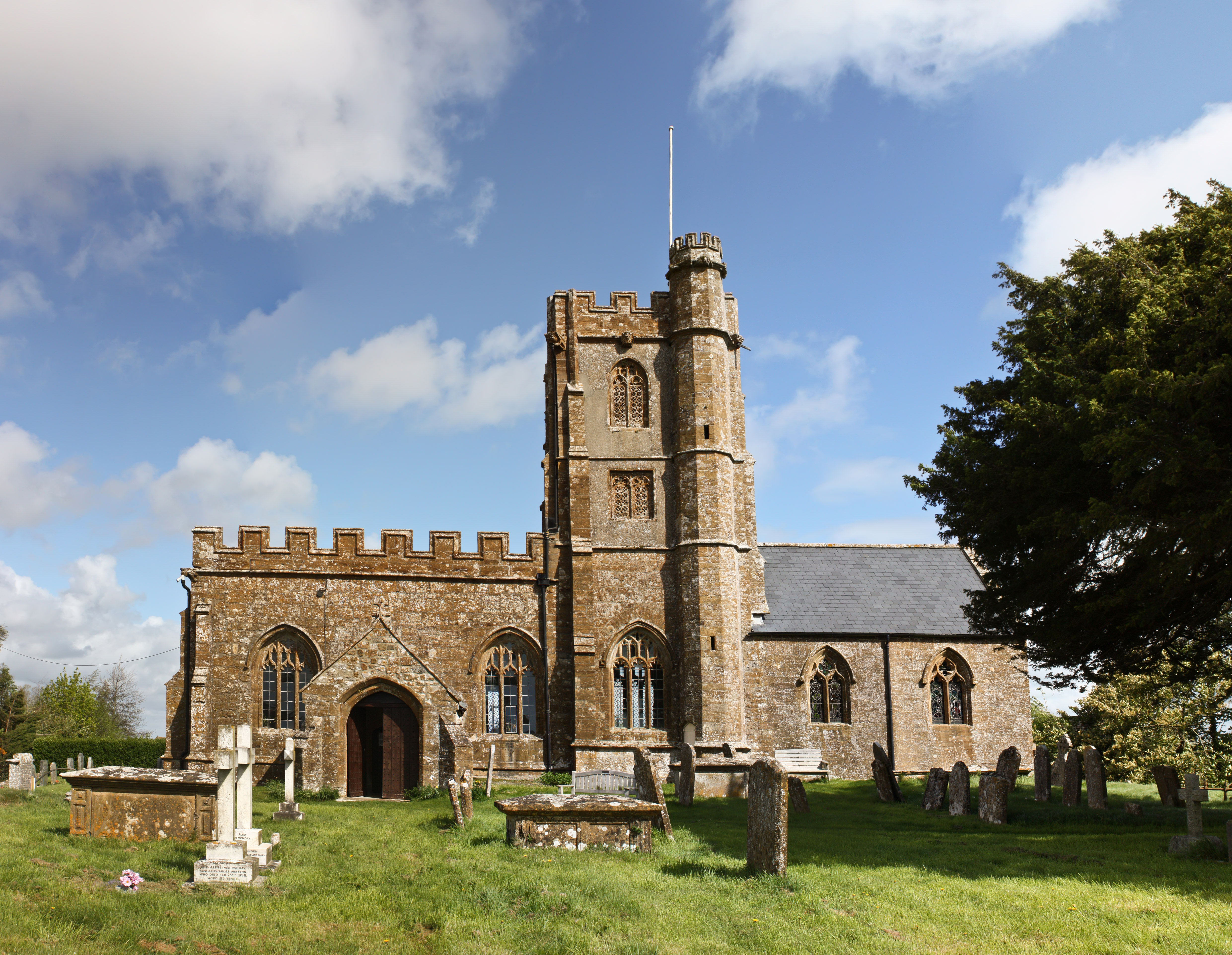
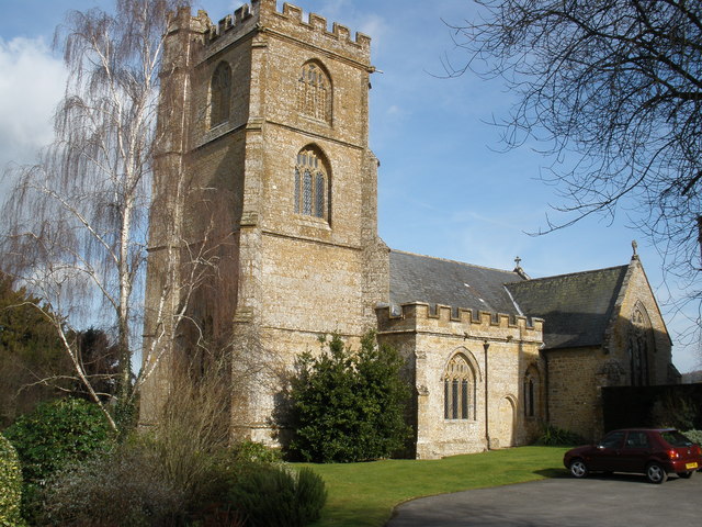
Church of St John the Evangelist and All Saints, Kingstone
The Anglican Church of St John the Evangelist and All Saints in Kingstone, Somerset, England was built in the 14th century. It is a Grade II* listed building...

Dillington House
Dillington House is a residential adult education college near Ilminster in the parish of Whitelackington, Somerset, England. The present house, which...
Church of St Mary the Virgin, Whitelackington
The Anglican Church of St Mary the Virgin in Whitelackington, Somerset, England was built in the 14th and 15th centuries. It is a Grade II* listed building...

Church of St Andrew, Dowlish Wake
The Anglican Church of St Andrew in Dowlish Wake, Somerset, England, was built in the 14th century. It is a Grade II* listed building. == History == The...
Dowlish Wake
Dowlish Wake is a small village and civil parish in Somerset, England, 2 miles (3 km) south of Ilminster and 5 miles (8 km) northeast of Chard in the South...
Nearby Amenities
Located within 500m of 50.923343,-2.9022968Have you been to Bakers Copse?
Leave your review of Bakers Copse below (or comments, questions and feedback).