Birchypark Wood
Wood, Forest in Herefordshire
England
Birchypark Wood

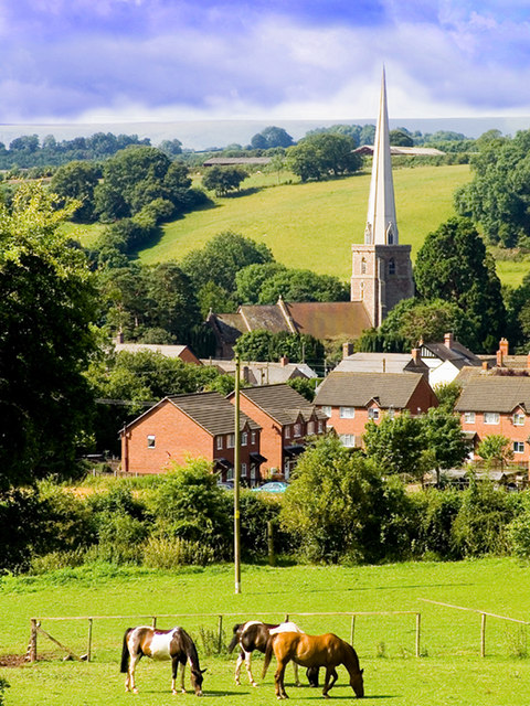
Birchypark Wood is a picturesque woodland located in Herefordshire, England. Covering an area of approximately 100 hectares, the wood is known for its diverse range of tree species, including birch, oak, and beech. It is a popular destination for nature enthusiasts, hikers, and birdwatchers due to its tranquil atmosphere and abundant wildlife.
The wood features well-maintained trails that wind through the dense foliage, providing visitors with the opportunity to explore and immerse themselves in the natural beauty of the area. The paths are suitable for all levels of fitness and offer stunning views of the surrounding countryside.
Birchypark Wood is also home to a variety of wildlife, making it a haven for nature lovers. Visitors may encounter deer, foxes, rabbits, and a wide array of bird species, including woodpeckers, owls, and songbirds. The wood's diverse ecosystem provides ample food and shelter for these animals, creating a thriving habitat.
In addition to its natural attractions, Birchypark Wood offers facilities such as picnic areas and benches, allowing visitors to relax and enjoy their surroundings. It is an ideal location for a peaceful day out with family and friends, providing a peaceful retreat away from the hustle and bustle of urban life.
Overall, Birchypark Wood is a charming woodland that showcases the beauty of Herefordshire's countryside. With its scenic trails, abundant wildlife, and peaceful atmosphere, it offers a delightful experience for those seeking a tranquil escape in nature.
If you have any feedback on the listing, please let us know in the comments section below.
Birchypark Wood Images
Images are sourced within 2km of 52.035501/-2.9247979 or Grid Reference SO3637. Thanks to Geograph Open Source API. All images are credited.


Birchypark Wood is located at Grid Ref: SO3637 (Lat: 52.035501, Lng: -2.9247979)
Unitary Authority: County of Herefordshire
Police Authority: West Mercia
What 3 Words
///movements.founding.blushes. Near Tyberton, Herefordshire
Nearby Locations
Related Wikis
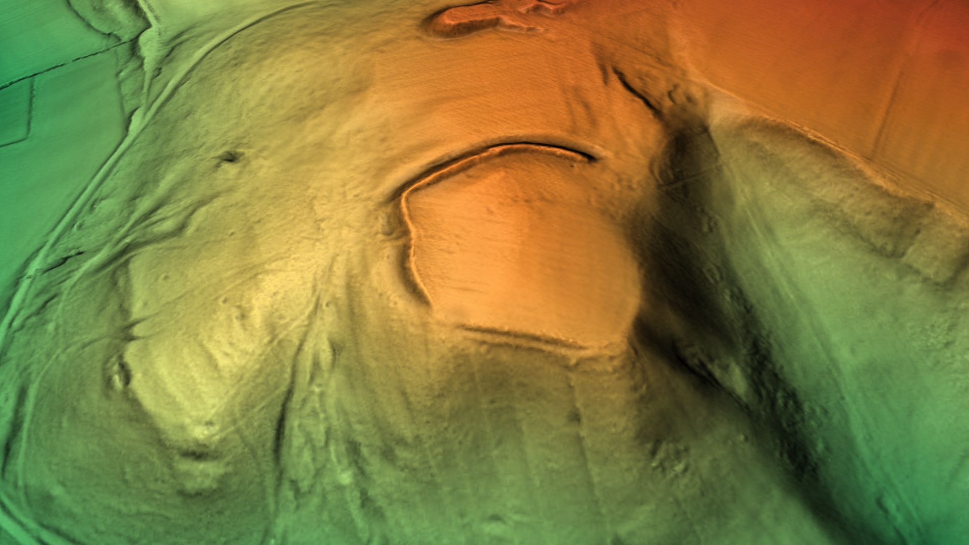
Poston Camp
Poston Camp is an Iron Age hill fort located just south of Vowchurch, Herefordshire. == Further reading == Children, G; Nash, G (1994) Prehistoric Sites...

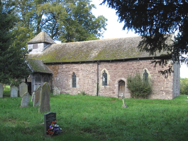
Vowchurch
Vowchurch is a village and civil parish in Herefordshire, England, situated in the Golden Valley, on the River Dore. The village is about 10 miles (16...
Vowchurch railway station
Vowchurch railway station was a railway station on the Golden Valley Railway line between Abergavenny and Hay-on-Wye. It served the village of Vowchurch...
Turnastone
Turnastone is a village and civil parish 10 miles (16 km) west of Hereford, in the county of Herefordshire, England. In 2001 the parish had a population...
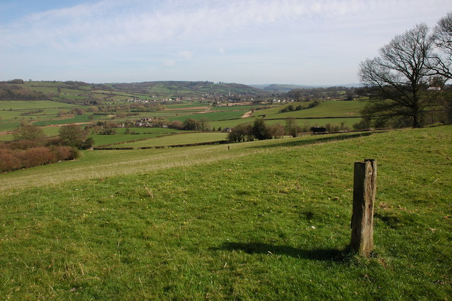
Golden Valley (Herefordshire)
The Golden Valley is the name given to the valley of the River Dore in western Herefordshire, England. The valley is a picturesque area of gently rolling...

Fairfield High School, Peterchurch
Fairfield High School is a coeducational secondary school located in Peterchurch, Herefordshire, England. Fairfield High School is located in the Golden...
Peterchurch
Peterchurch is a village and civil parish in the Golden Valley, Herefordshire, England. The countryside around is spectacular, with views of the Black...

Tyberton
Tyberton or Tiberton is a village and civil parish 8 miles (13 km) west of Hereford, in the county of Herefordshire, England. In 2011 the parish had a...
Related Videos

Willerby Brookwood 2023 For Sale (Herefordshire)
Please enquire via our website for more information: www.morris-leisure.co.uk/holiday-homes-for-sale Willerby Brookwood 2023 ...

Willerby Clearwater 2023 For Sale (Herefordshire)
Please enquire via our website for more information: www.morris-leisure.co.uk/holiday-homes-for-sale Willerby Clearwater 2023 ...

ABI Ambleside Premier 2021 For Sale (Herefordshire)
Please enquire via our website for more information: www.morris-leisure.co.uk/holiday-homes-for-sale ABI Ambleside Premier ...

NOW SOLD - Willerby Ellesmere 2022 For Sale (Herefordshire)
Please enquire via our website for more information: www.morris-leisure.co.uk/holiday-homes-for-sale Willerby Ellesmere 2022 at ...
Nearby Amenities
Located within 500m of 52.035501,-2.9247979Have you been to Birchypark Wood?
Leave your review of Birchypark Wood below (or comments, questions and feedback).