Brake Coppice

Wood, Forest in Herefordshire

England

Brake Coppice

Footpath west from Tremorithic Road Ash is turning colour early this year.
Footpath west from Tremorithic Road Credit: Jonathan Billinger

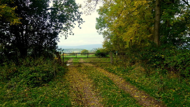
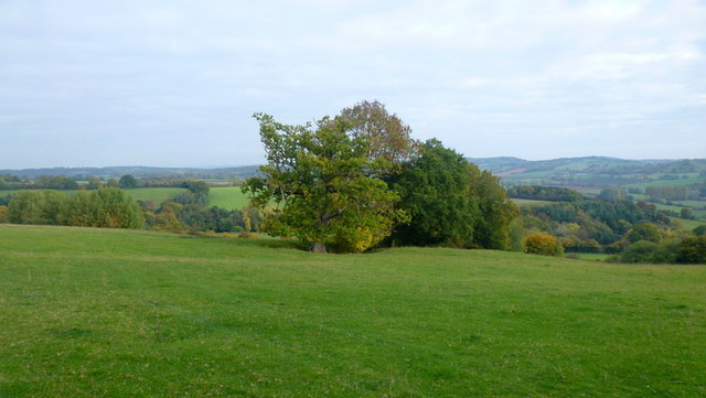
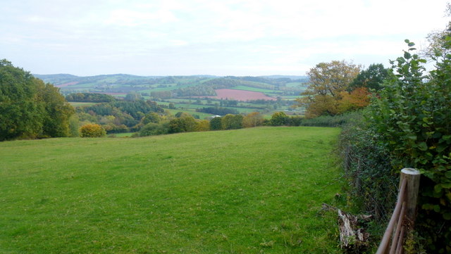
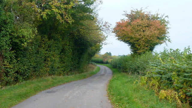
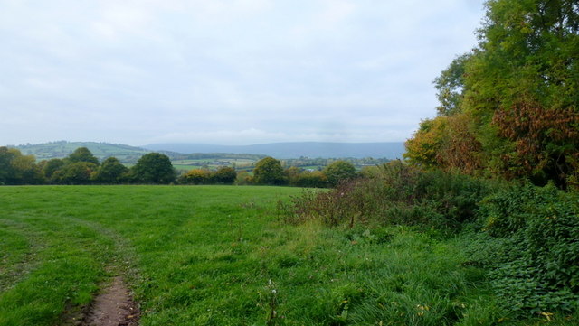
Brake Coppice is a picturesque woodland located in the county of Herefordshire, England. Spread across an area of approximately 100 acres, it is a captivating forest that attracts nature enthusiasts and hikers alike. The coppice is situated near the village of Much Marcle, surrounded by rolling hills and stunning countryside.

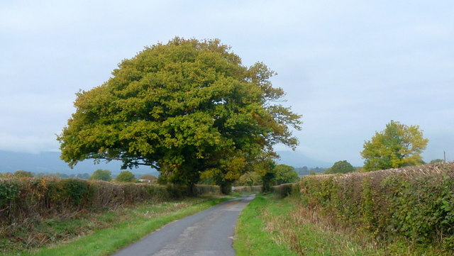
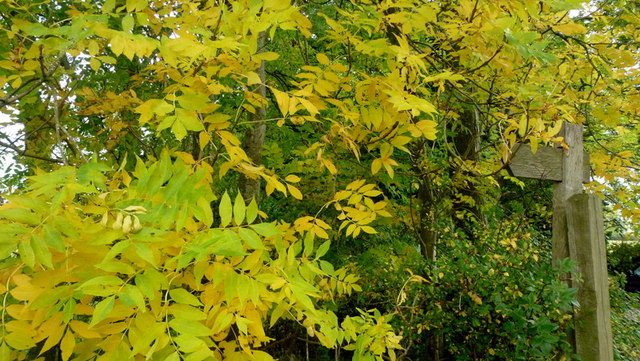
The woodland is characterized by its diverse range of tree species, including oak, ash, beech, and hazel. These trees create a beautiful canopy that provides shade and shelter for a rich variety of flora and fauna. Bluebells, primroses, and wild garlic can be found carpeting the forest floor during the spring months, adding a splash of color to the serene atmosphere.

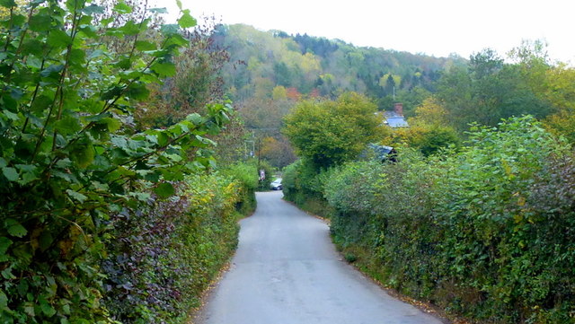
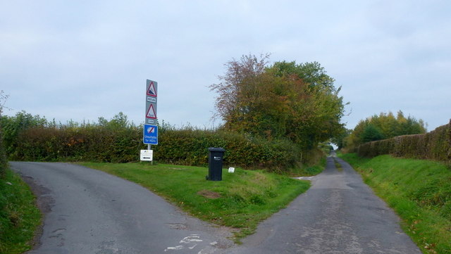
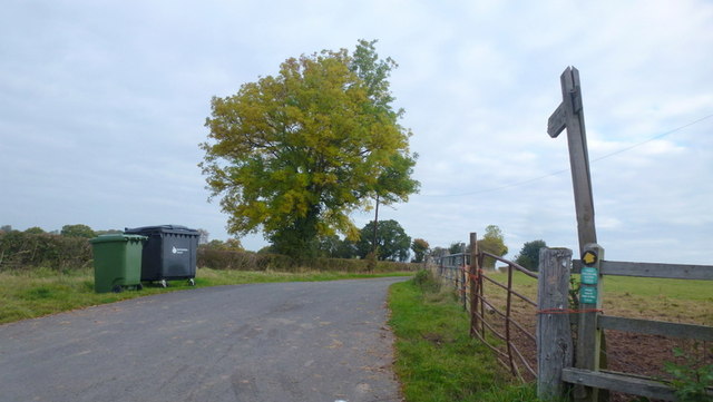
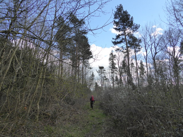
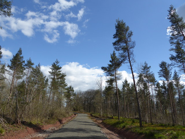
Brake Coppice is crisscrossed by a network of well-maintained footpaths and trails, making it an ideal location for leisurely walks and exploring the natural surroundings. The paths wind through the woodland, offering visitors the opportunity to discover hidden nooks, babbling brooks, and charming clearings.

The forest is also a sanctuary for wildlife, providing a habitat for numerous species. Birdwatchers can spot woodpeckers, song thrushes, and various species of owls, while the lucky observer might even catch a glimpse of a red deer or a fox.

Overall, Brake Coppice offers a tranquil escape from the hustle and bustle of everyday life. Its natural beauty, peaceful atmosphere, and abundant wildlife make it a must-visit destination for those seeking a connection with nature in Herefordshire.

If you have any feedback on the listing, please let us know in the comments section below.

Brake Coppice Images

Images are sourced within 2km of 51.979203/-2.9243949 or Grid Reference SO3631. Thanks to Geograph Open Source API. All images are credited.

Footpath west from Tremorithic Road Ash is turning colour early this year.
Footpath west from Tremorithic Road
Ash is turning colour early this year.
Lower Newton Road named after the farm at the end of the metalled road.
The green lane to the right appears to head directly to Lower Maes-coed.
Lower Newton
Road named after the farm at the end of the metalled road. The green lane to the right appears to head directly to Lower Maes-coed.
Cwm Dulas Land-use in this corner of West Herefordshire.
Cwm Dulas
Land-use in this corner of West Herefordshire.
Road to Ewyas Harold The wooded Dulas valley ahead.
Road to Ewyas Harold
The wooded Dulas valley ahead.
View over the Golden Valley, 1 Looking north from the Tremorithic Road to the west of Abbey Dore.
View over the Golden Valley, 1
Looking north from the Tremorithic Road to the west of Abbey Dore.
View over the Golden Valley, 2 Looking north from the Tremorithic Road to the west of Abbey Dore.
View over the Golden Valley, 2
Looking north from the Tremorithic Road to the west of Abbey Dore.
Tremorithic Road Looking west, away from Abbey Dore.
Tremorithic Road
Looking west, away from Abbey Dore.
Mill Lane at Tremorithic Road The warning sign is for the ford across the Dulas Brook.
Mill Lane at Tremorithic Road
The warning sign is for the ford across the Dulas Brook.
Oaks by Tremorithic Road Still green as at 17th October 2015.
Oaks by Tremorithic Road
Still green as at 17th October 2015.
Farm track and public footpath To Holling Grange Farm pictured from Tremorithic Road.
Farm track and public footpath
To Holling Grange Farm pictured from Tremorithic Road.
View over the Dulas Valley View from Tremorithic, with the dome of Mynydd Merddin to the left and the Hatterrall ridge in the far distance.
View over the Dulas Valley
View from Tremorithic, with the dome of Mynydd Merddin to the left and the Hatterrall ridge in the far distance.
Ash foliage by the footpath signpost This sight is destined to be a rarity as Ash dieback disease spreads across the UK.
Ash foliage by the footpath signpost
This sight is destined to be a rarity as Ash dieback disease spreads across the UK.
Far House Farm The inscription on the stone by Lower Newton Lane confirms the correct name of the farm - smaller scale OS mapping gives 'Firhouse Farm'.
Far House Farm
The inscription on the stone by Lower Newton Lane confirms the correct name of the farm - smaller scale OS mapping gives 'Firhouse Farm'.
Woodland path A detail from the same position as <a href="https://www.geograph.org.uk/photo/4703815">SO3431 : Lower Newton</a> showing an alternate leafy route to Lower Maes-coed.
Woodland path
A detail from the same position as SO3431 : Lower Newton showing an alternate leafy route to Lower Maes-coed.
Lower Newton Lane and telephone box One of a dwindling number of K6 boxes still apparently in use in a very remote West Herefordshire community.
The paintwork has degraded somewhat since <a href="https://www.geograph.org.uk/photo/1816395">SO3430 : Telephone box at Lower Maes-coed</a> but is in better condition than <a href="https://www.geograph.org.uk/photo/685432">SO3430 : Telephone Box</a>.
Lower Newton Lane and telephone box
One of a dwindling number of K6 boxes still apparently in use in a very remote West Herefordshire community. The paintwork has degraded somewhat since SO3430 : Telephone box at Lower Maes-coed but is in better condition than SO3430 : Telephone Box.
Lower Maes-coed Pig farm buildings can be glimpsed through the gap in the hedge to the right.
Lower Maes-coed
Pig farm buildings can be glimpsed through the gap in the hedge to the right.
On the Herefordshire Trail in Llan Arw Woods I like to see Welsh place names in English Herefordshire.
On the Herefordshire Trail in Llan Arw Woods
I like to see Welsh place names in English Herefordshire.
Logging track in forestry Not the best walking as you can't see much.
Logging track in forestry
Not the best walking as you can't see much.
Show me another place!

Brake Coppice is located at Grid Ref: SO3631 (Lat: 51.979203, Lng: -2.9243949)

Unitary Authority: County of Herefordshire

Police Authority: West Mercia

What 3 Words

///drift.width.acrobat. Near Bacton, Herefordshire

Nearby Locations

Brake Coppice Holling Wood

Related Wikis

Bacton, Herefordshire

Bacton (Welsh: Bactwn) is a small village in a rural area of south-west Herefordshire, England, 14 miles (23 km) from Hereford. == History == One mile...

Bacton railway station

Bacton railway station was a station in Bacton, Herefordshire, England. It was located on the Great Western Railway branch line linking Pontrilas and Hay...

Abbeydore railway station

Abbeydore railway station was a station in Abbey Dore, Herefordshire, England. It was located on the Great Western Railway branch line linking Pontrilas...

Dulas, Herefordshire

Dulas is a civil parish in the County of Herefordshire in England, 18 km south west of Hereford. There is no village named Dulas, as the parish consists...
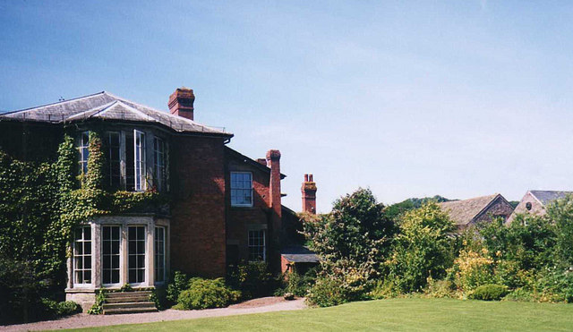
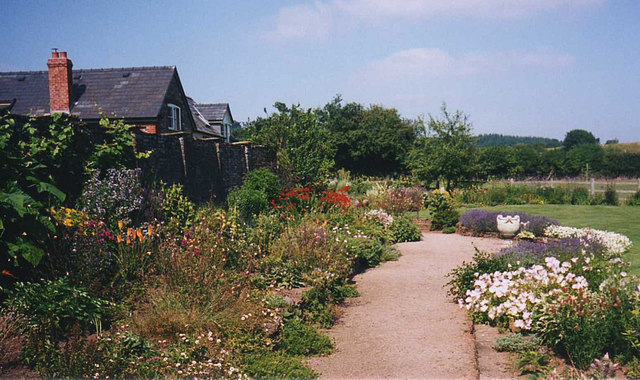
Abbey Dore Court

Abbey Dore Court is a country house in Abbey Dore, Herefordshire, England. It was built in the Golden Valley in 1861 for Thomas Freke Lewis. It includes...
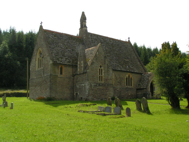
Abbey Dore

Abbey Dore is a village and civil parish in Herefordshire, England, known for Dore Abbey, a 12th-century Cistercian abbey, which was expanded in the 13th...
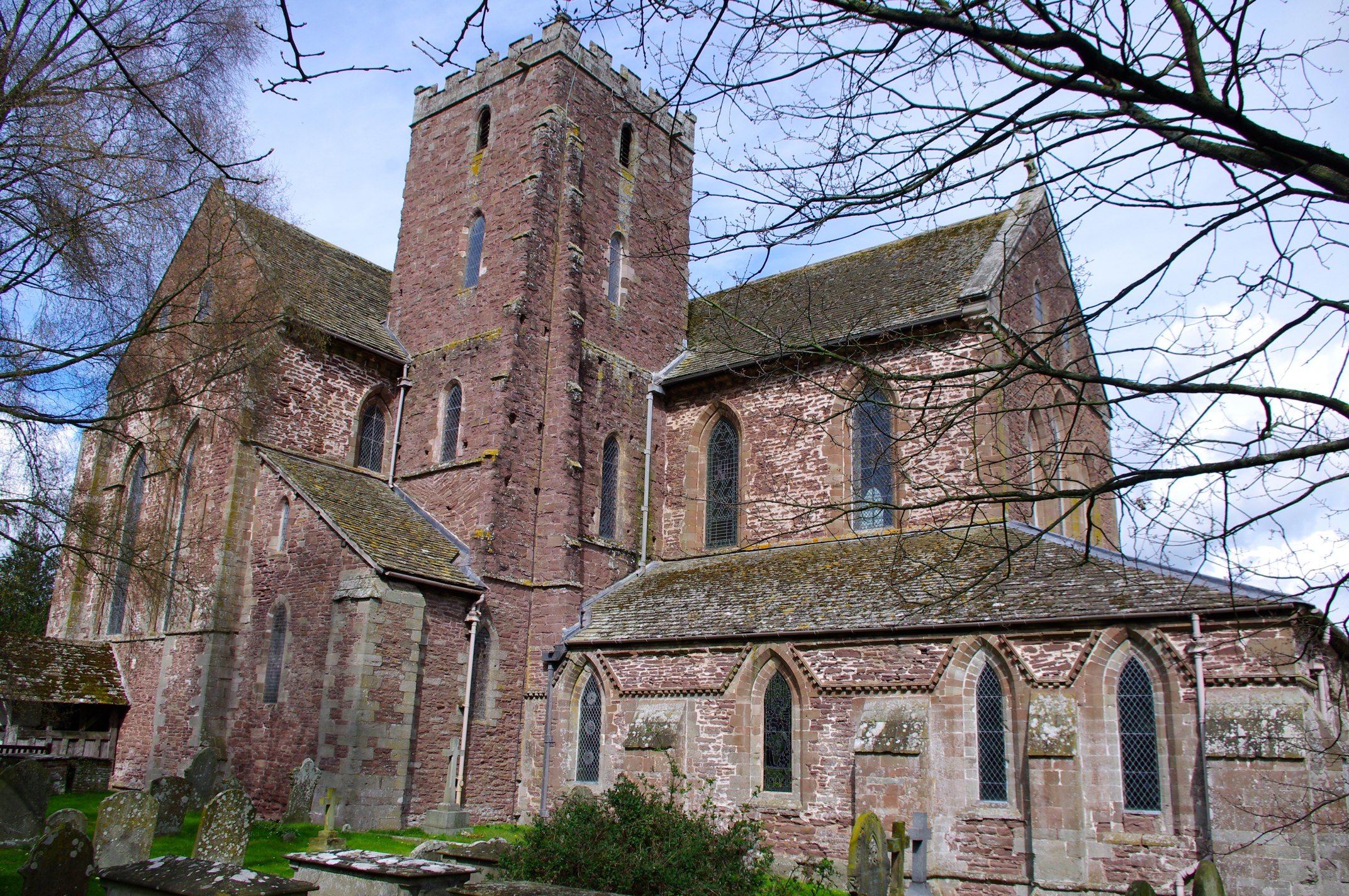
Dore Abbey

Dore Abbey is a former Cistercian abbey in the village of Abbey Dore in the Golden Valley, Herefordshire, England. A large part of the original medieval...

St Margarets, Herefordshire

St Margarets is a village and civil parish 11 miles (18 km) west of Hereford, in the county of Herefordshire, England. The parish includes the hamlet of...

Nearby Amenities

Located within 500m of 51.979203,-2.9243949
Barrier: stile
Lat/Long: 51.9820549/-2.9229951
Barrier: stile
Material: wood
Source: survey
Stile: stepover
Lat/Long: 51.9824666/-2.9292687
The data included in this document is from www.openstreetmap.org. The data is made available under ODbL.

Have you been to Brake Coppice?

Leave your review of Brake Coppice below (or comments, questions and feedback).