Bellbank Wood
Wood, Forest in Cumberland Carlisle
England
Bellbank Wood

Bellbank Wood is a picturesque forest located in the county of Cumberland, England. Spanning approximately 100 acres, this wood is known for its natural beauty and diverse range of wildlife. It is situated near the village of Bellbank, just a few miles from the bustling town of Carlisle.
The wood is predominantly made up of broadleaf trees, including oak, ash, and beech. These towering trees create a dense canopy, providing a peaceful and tranquil environment. The forest floor is covered with a carpet of wildflowers, ferns, and mosses, adding to its enchanting atmosphere.
Bellbank Wood is home to a variety of wildlife species. Deer can often be spotted grazing amongst the trees, while red squirrels scurry between branches, collecting nuts and seeds. The wood is also a haven for birdwatchers, with a range of bird species such as woodpeckers, owls, and songbirds making their homes here.
The wood is crisscrossed with several well-maintained walking trails, allowing visitors to explore its natural wonders. These paths lead to a picturesque pond, where visitors can sit and enjoy the peaceful surroundings. There are picnic areas scattered throughout the wood, providing a perfect spot for a family outing or a quiet lunch in nature.
Bellbank Wood is a popular destination for nature lovers and outdoor enthusiasts alike. Its stunning landscapes, diverse wildlife, and tranquil atmosphere make it a true gem in the heart of Cumberland.
If you have any feedback on the listing, please let us know in the comments section below.
Bellbank Wood Images
Images are sourced within 2km of 54.780132/-2.9875351 or Grid Reference NY3643. Thanks to Geograph Open Source API. All images are credited.


Bellbank Wood is located at Grid Ref: NY3643 (Lat: 54.780132, Lng: -2.9875351)
Administrative County: Cumbria
District: Carlisle
Police Authority: Cumbria
What 3 Words
///spit.clasping.mailbox. Near Dalston, Cumbria
Nearby Locations
Related Wikis

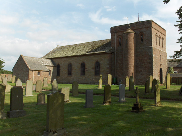
Sebergham
Sebergham is a small village and civil parish in the English county of Cumbria. It is located on the B5305, south of Carlisle and south-east of Wigton...

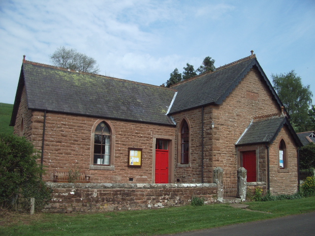
Brothybeck
Brothybeck is a village in Cumbria, England.
Raughton Head
Raughton Head is a hamlet in Cumbria, England, located 8 miles (13 km) south of Carlisle. == Toponymy == the name Raughton Head is most likely derived...
Stockdalewath
Stockdalewath is a small village in Cumbria, approximately 7.5 miles south of Carlisle in the extreme northwest of England. It is located on the River...
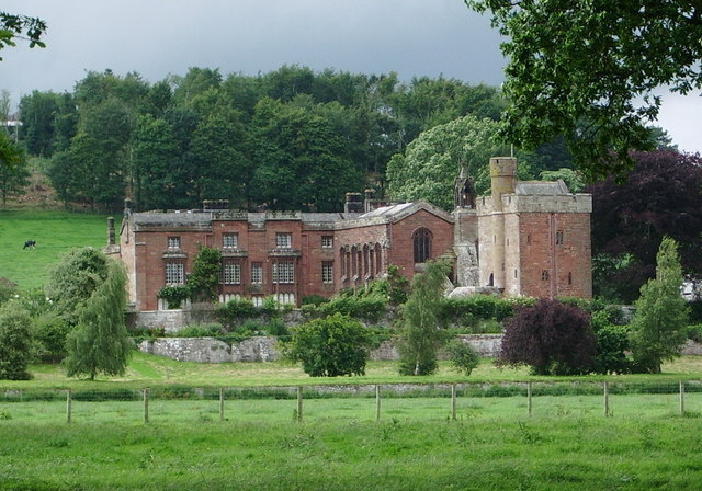
Rose Castle
Rose Castle is a 16,244 square feet (1,509.1 m2) fortified house in Cumbria, England, on a site that was home to the bishops of Carlisle from 1230 to 2009...
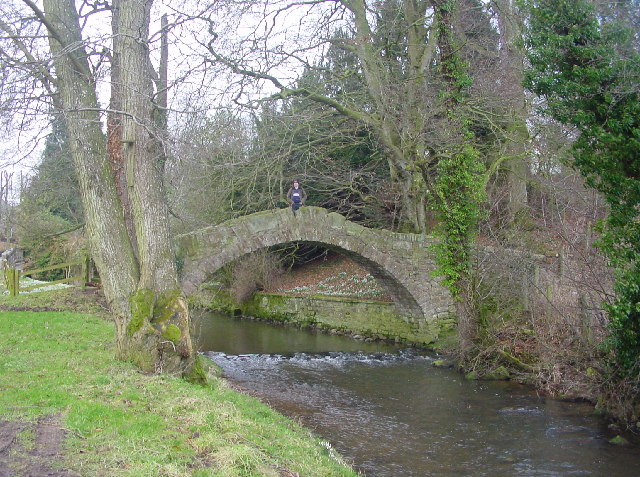
River Ive
The River Ive is a river in the county of Cumbria, England. The Ive rises near the settlement of Hutton End and flows north-north-west, through Ivegill...

Cumberland
Cumberland ( KUM-bər-lənd) is a historic county in North West England, covering part of the Lake District as well as the northern Pennines and the coast...

Castle Sowerby
Castle Sowerby is a civil parish in the Eden District of Cumbria, England. In 2001 it had a population of 337, increasing to 344 at the 2011 Census, and...
Nearby Amenities
Located within 500m of 54.780132,-2.9875351Have you been to Bellbank Wood?
Leave your review of Bellbank Wood below (or comments, questions and feedback).