Wray Mires Wood
Wood, Forest in Lancashire South Lakeland
England
Wray Mires Wood
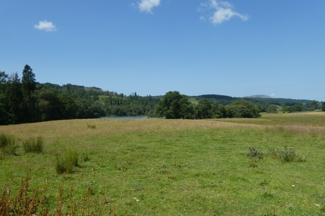
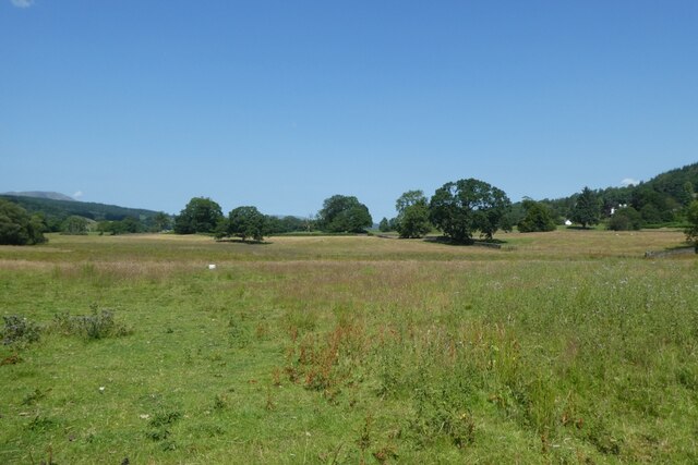
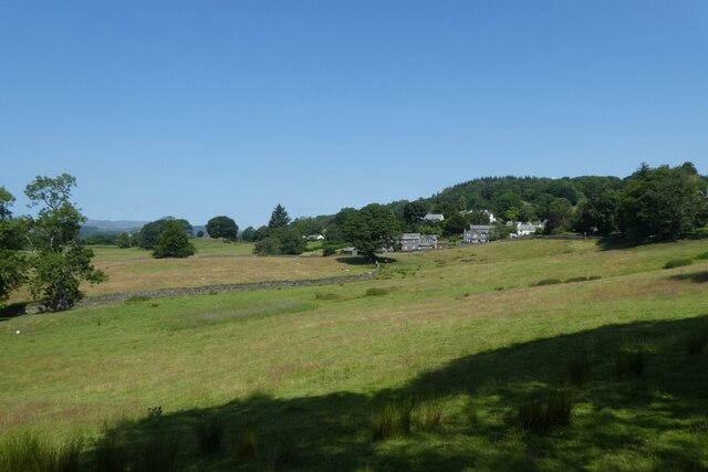
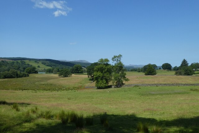
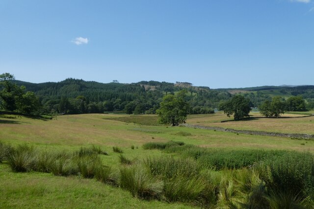
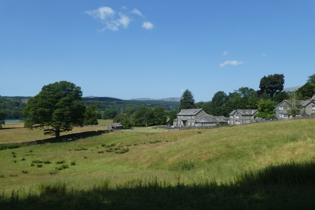
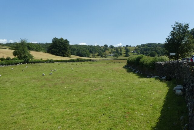
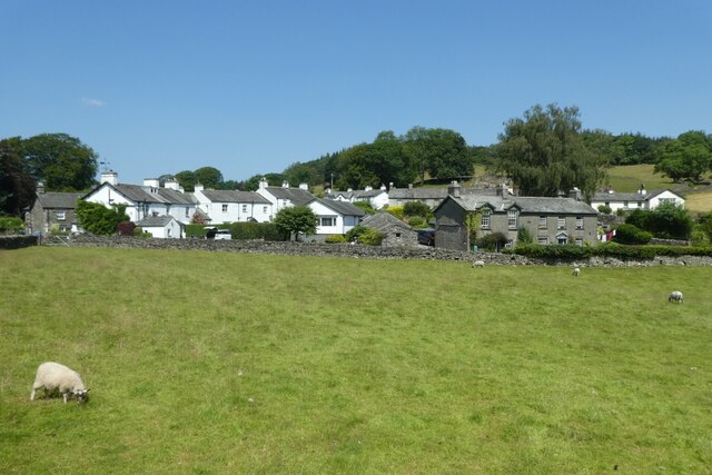
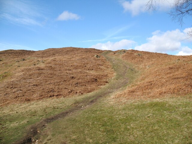
Wray Mires Wood is a picturesque forest located in the county of Lancashire, England. Situated near the village of Wray, this woodland area covers an expansive area of approximately 200 acres. The wood is known for its diverse ecosystem and rich biodiversity, making it a haven for nature enthusiasts and wildlife lovers.
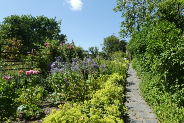
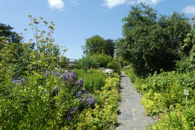
As one explores Wray Mires Wood, they will encounter a varied landscape comprised of dense canopies, towering trees, and meandering pathways. The forest is predominantly composed of deciduous trees such as oak, beech, and birch, providing a stunning display of colors during the autumn season.
The wood is home to a wide range of wildlife, including deer, foxes, badgers, and a plethora of bird species. Birdwatchers can spot woodpeckers, owls, and various songbirds amidst the treetops. The forest floor is also teeming with life, with numerous species of wildflowers, ferns, and mushrooms adorning the landscape.
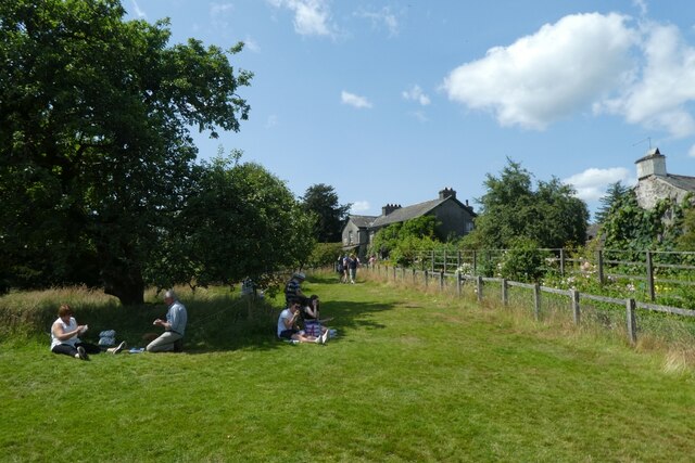
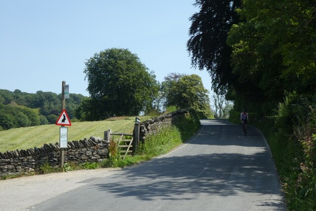
Wray Mires Wood offers visitors an array of recreational activities. The well-maintained trails provide opportunities for hiking, walking, and cycling, allowing visitors to explore the wood at their own pace. The tranquil atmosphere and stunning vistas make the wood an ideal spot for picnics and family outings.
In addition to its natural beauty, Wray Mires Wood holds historical significance. The wood is believed to have been used for timber production in the past, with remnants of old saw pits and charcoal platforms still visible today.
Overall, Wray Mires Wood is a captivating destination that showcases the beauty of Lancashire's natural landscapes, offering a peaceful retreat for those seeking solace in nature.
If you have any feedback on the listing, please let us know in the comments section below.
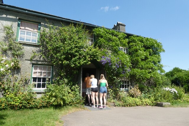
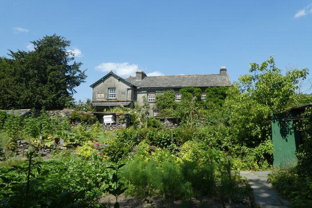
Wray Mires Wood Images
Images are sourced within 2km of 54.366618/-2.9778932 or Grid Reference SD3697. Thanks to Geograph Open Source API. All images are credited.
Wray Mires Wood is located at Grid Ref: SD3697 (Lat: 54.366618, Lng: -2.9778932)
Administrative County: Cumbria
District: South Lakeland
Police Authority: Cumbria
What 3 Words
///salsa.tastes.roadshow. Near Windermere, Cumbria
Nearby Locations
Related Wikis

Moss Eccles Tarn
Moss Eccles Tarn is a tarn on Claife Heights, near Near Sawrey in the Lake District, Cumbria. It is currently owned by the National Trust and known as...

Claife
Claife is a civil parish in the South Lakeland district of Cumbria, England. It is situated west of Windermere, and east of Esthwaite Water and the village...
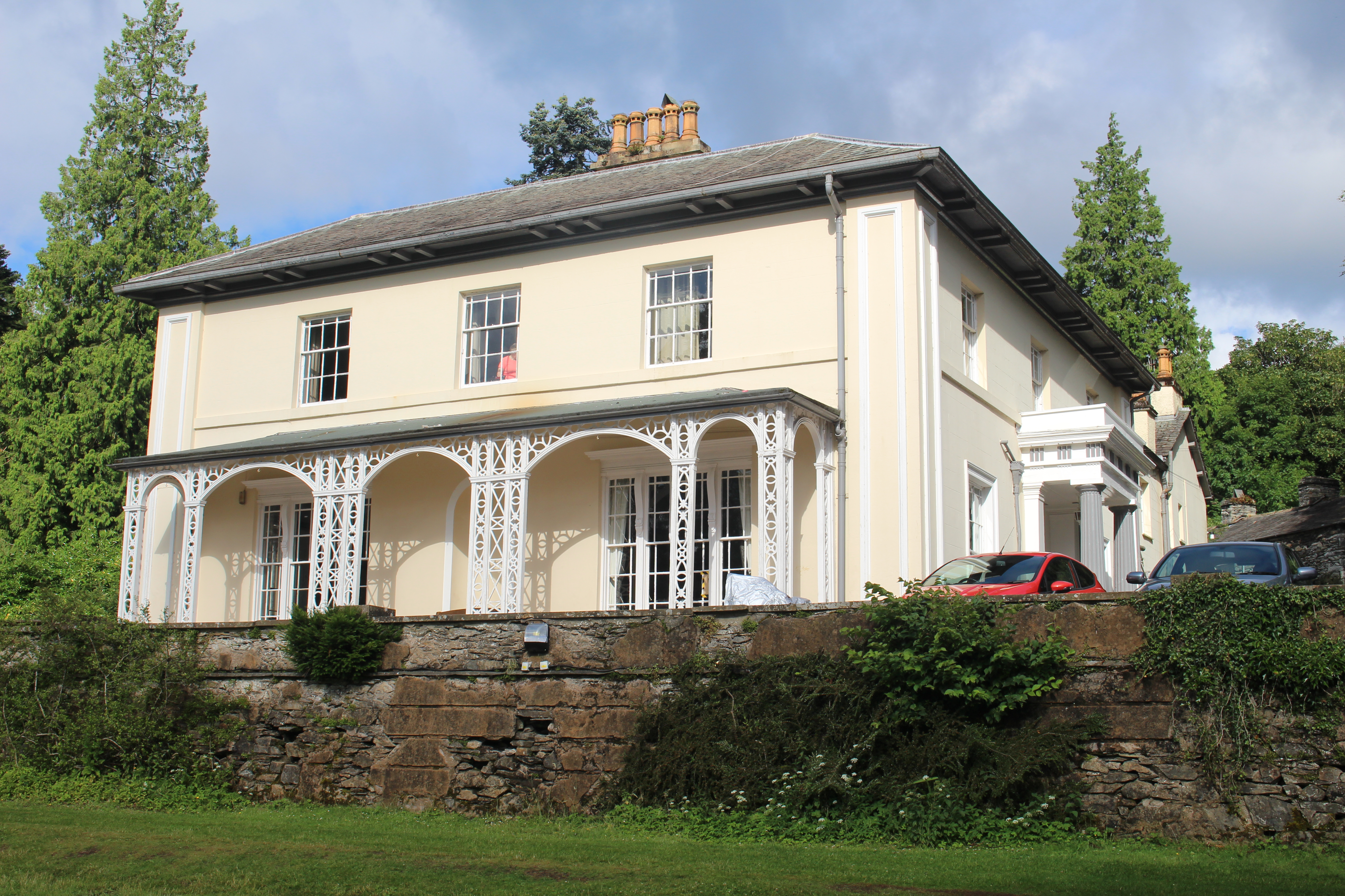
Esthwaite Lodge
Esthwaite Lodge is a 19th-century house in Hawkshead, Cumbria, England; it is a Grade II listed building. The house was commissioned by Thomas Alcock...

Roger Ground
Roger Ground is a hamlet just south of the village of Hawkshead, in the South Lakeland district, in the English county of Cumbria. == References == Philip...

Hawkshead Grammar School Museum
The museum operates in the old Hawkshead Grammar School building from 1 April through to 31 October. It gives an introductory talk about the school, highlighting...
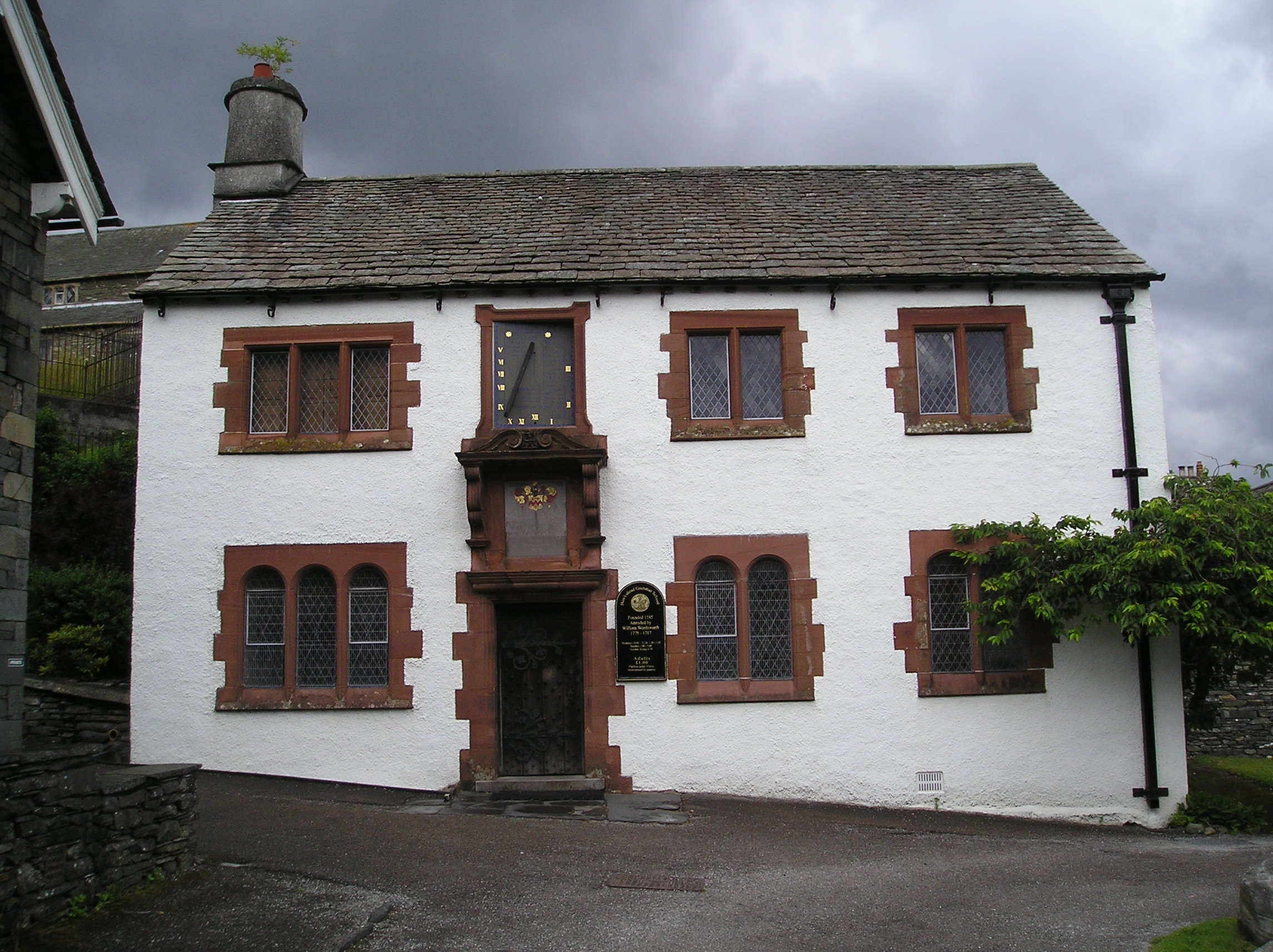
Hawkshead Grammar School
Hawkshead Grammar School in Hawkshead, Cumbria, England was founded in 1585 by Archbishop Edwin Sandys, the incumbent Archbishop of York, whose family...

Near and Far Sawrey
Near Sawrey and Far Sawrey are two neighbouring villages in the Furness area of Cumbria, England. Within the boundaries of the historic county of Lancashire...

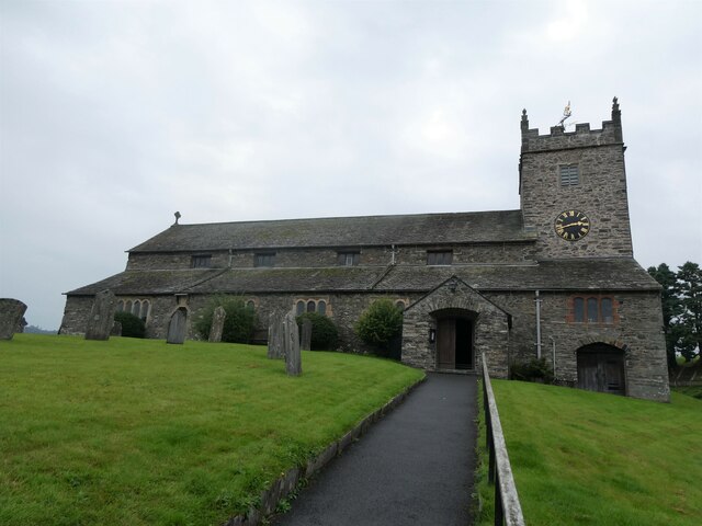
St Michael and All Angels Church, Hawkshead
St Michael and All Angels Church is in the village of Hawkshead, Cumbria, England. It is an active Anglican parish church in the deanery of Windermere...
Nearby Amenities
Located within 500m of 54.366618,-2.9778932Have you been to Wray Mires Wood?
Leave your review of Wray Mires Wood below (or comments, questions and feedback).