Grove Rough

Wood, Forest in Herefordshire

England

Grove Rough

Staunton on Arrow Parish Church The elevation of the church shown lies within the grid square, but part of the church building lies within the adjacent square SO3760.
Staunton on Arrow Parish Church Credit: Simon Davies

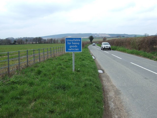
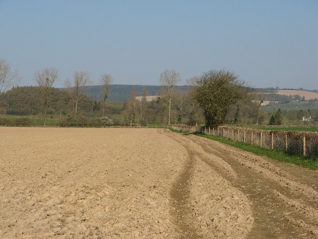
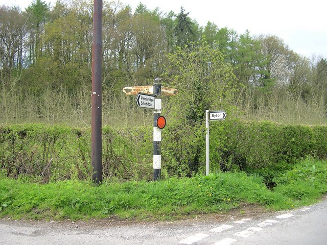
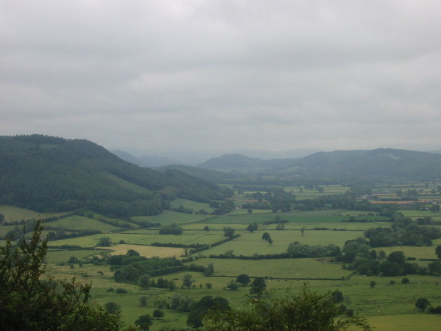
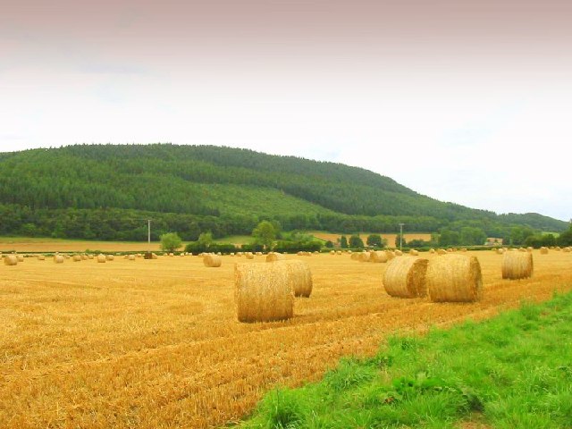
Grove Rough, located in Herefordshire, is a verdant woodland area renowned for its natural beauty and diverse ecosystem. This woodland, also known as Grove Rough Wood or Grove Rough Forest, spans approximately 500 acres and attracts nature enthusiasts, hikers, and wildlife photographers alike.

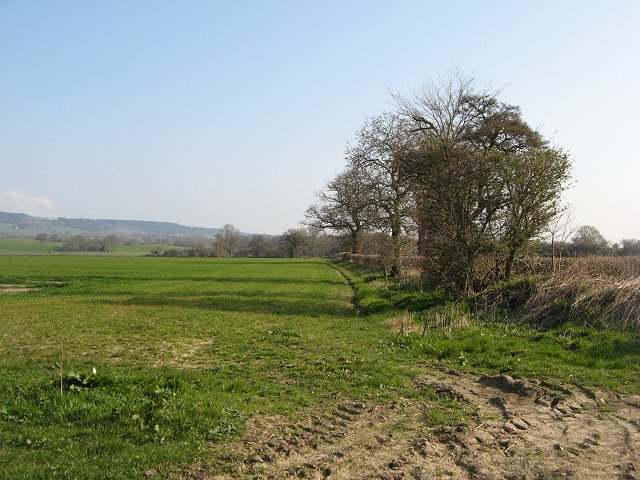
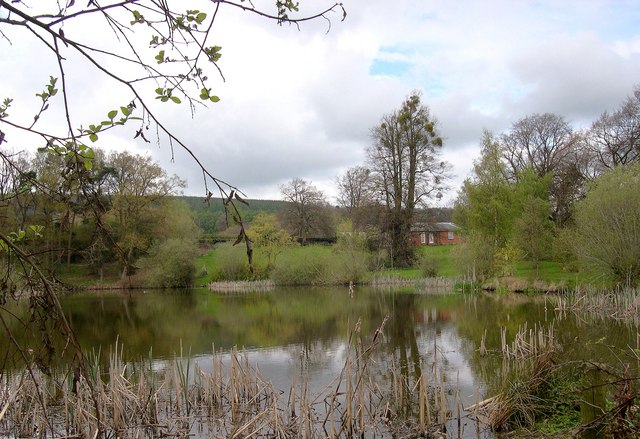
The forest is characterized by its dense canopy of towering deciduous and coniferous trees, including oak, beech, ash, and pine. The interplay of sunlight filtering through the foliage creates a captivating and ethereal atmosphere. The forest floor is carpeted with a rich diversity of flora, including bluebells, wild garlic, and ferns, providing a vibrant tapestry of colors throughout the seasons.

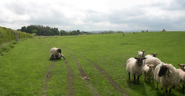
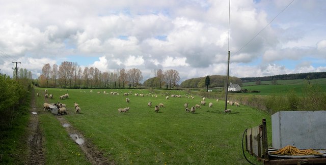
Grove Rough is home to an array of wildlife species, making it a haven for animal lovers and birdwatchers. Roe deer, badgers, foxes, and rabbits are commonly spotted within the woodland, while bird species such as woodpeckers, owls, and various songbirds can be heard chirping and singing from the treetops. The forest also hosts a variety of insects, including butterflies and dragonflies, adding to the vibrant biodiversity of the area.

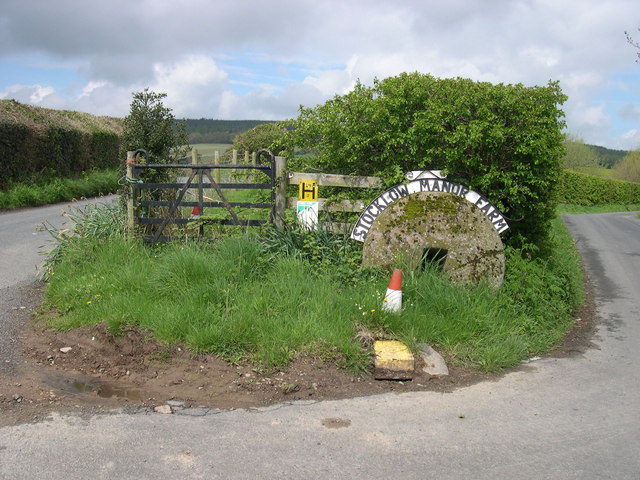
The woodland offers numerous trails and footpaths, allowing visitors to explore and immerse themselves in its natural wonders. There are picnic areas and benches strategically placed throughout the forest, providing opportunities for visitors to relax and appreciate the tranquil surroundings.

Grove Rough, with its enchanting woodlands, abundant wildlife, and serene ambiance, is a treasured natural gem in Herefordshire that offers a peaceful escape and a chance to reconnect with nature.

If you have any feedback on the listing, please let us know in the comments section below.
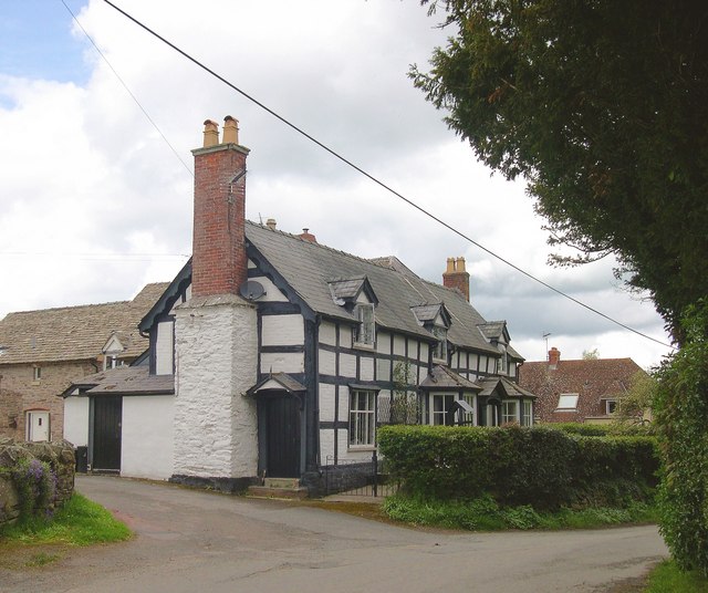
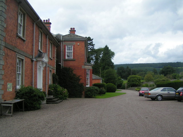
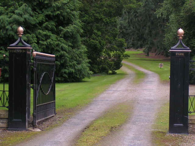
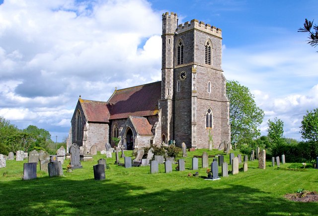
Grove Rough Images

Images are sourced within 2km of 52.233518/-2.9311199 or Grid Reference SO3659. Thanks to Geograph Open Source API. All images are credited.

Staunton on Arrow Parish Church The elevation of the church shown lies within the grid square, but part of the church building lies within the adjacent square SO3760.
Staunton on Arrow Parish Church
The elevation of the church shown lies within the grid square, but part of the church building lies within the adjacent square SO3760.
Road from Milton Cross to Stockley Cross
Ploughed field, Staunton Newly cultivated field just outside Staunton on Arrow.
Ploughed field, Staunton
Newly cultivated field just outside Staunton on Arrow.
Winter crops, Staunton Cornfields east of the Shobdon-Lyonshall road.
Winter crops, Staunton
Cornfields east of the Shobdon-Lyonshall road.
Entrance to Stocklow Manor Farm An old millstone and a traffic cone mark the entrance to this farm. Wild flowers grow from the top of the plastic cone.
Entrance to Stocklow Manor Farm
An old millstone and a traffic cone mark the entrance to this farm. Wild flowers grow from the top of the plastic cone.
Residents, Stocklow Manor Farm
Sheep near Staunton Green
Dovecote, Staunton Park Six sided, I believe - I forgot to count. No roof, but the nesting holes were still occupied, as I found out when I ventured inside. Late 18th century, I would guess.
Dovecote, Staunton Park
Six sided, I believe - I forgot to count. No roof, but the nesting holes were still occupied, as I found out when I ventured inside. Late 18th century, I would guess.
Railway bridge, Horseway Head Road overbridge on the former GWR branch line to Presteigne, which closed finally in 1964. The passenger service ended in the 1950s, long before Beeching. The bridge was built to accommodate double track - a tad ambitious out here.
Railway bridge, Horseway Head
Road overbridge on the former GWR branch line to Presteigne, which closed finally in 1964. The passenger service ended in the 1950s, long before Beeching. The bridge was built to accommodate double track - a tad ambitious out here.
West Lake, Staunton Park With Avenue Lodge peeking through the trees.
West Lake, Staunton Park
With Avenue Lodge peeking through the trees.
Signs Old and Quite New, Stockley Cross Cast iron signs from the early days of motoring, with some cheap and nasty modern additions.
Signs Old and Quite New, Stockley Cross
Cast iron signs from the early days of motoring, with some cheap and nasty modern additions.
The Green Farm, Staunton Green Seen from Staunton Park.
The Green Farm, Staunton Green
Seen from Staunton Park.
St Peter, Staunton on Arrow Newly built on an old site in 1856; architect Nicholson.
St Peter, Staunton on Arrow
Newly built on an old site in 1856; architect Nicholson.
Former School and School House, Staunton on Arrow Church of St Peter adjoins.
Former School and School House, Staunton on Arrow
Church of St Peter adjoins.
Cottages, Staunton on Arrow Next door to the old school.
Cottages, Staunton on Arrow
Next door to the old school.
Staunton park
Staunton park
Entrance to Staunton park
St. Peter's Church (1), Staunton on Arrow The earliest records refer to a Vicar being here in 1273, but it is believed there was probably a chapel here before that. The present structure dates from 1853, but is the result of many rebuildings over the centuries. The church was originally under the patronage of Wigmore Abbey, until the abbey was dissolved in 1538. Today the church is part of the Arrowvale group of parishes.

<a href="https://www.geograph.org.uk/photo/2413907">SO3660 : St. Peter's Church (2) - gates to churchyard, Staunton on Arrow</a>.
St. Peter's Church (1), Staunton on Arrow
The earliest records refer to a Vicar being here in 1273, but it is believed there was probably a chapel here before that. The present structure dates from 1853, but is the result of many rebuildings over the centuries. The church was originally under the patronage of Wigmore Abbey, until the abbey was dissolved in 1538. Today the church is part of the Arrowvale group of parishes. SO3660 : St. Peter's Church (2) - gates to churchyard, Staunton on Arrow.
Show me another place!

Grove Rough is located at Grid Ref: SO3659 (Lat: 52.233518, Lng: -2.9311199)

Unitary Authority: County of Herefordshire

Police Authority: West Mercia

What 3 Words

///florists.hazelnuts.material. Near Kinsham, Herefordshire

Nearby Locations

Grove Rough Nokelane Head

Related Wikis

Staunton on Arrow

Staunton on Arrow is a village and civil parish in the county of Herefordshire, England. The village is 17 miles (27 km) north-west of Hereford and 8 miles...

Marston Halt railway station

Marston Halt railway station was a station in Marston, Herefordshire, England. The station was opened in 1856 and closed in 1955. The station was located...

Forge Crossing Halt railway station

Forge Crossing Halt railway station was a station in Titley, Herefordshire, England. The station, on the Presteigne Branch Line of the Leominster and Kington...

Pembridge railway station

Pembridge railway station was a station in Pembridge, Herefordshire, England. The station was opened in 1856 and closed in 1955. The station was located...

Pembridge

Pembridge is a village and civil parish in the Arrow valley in Herefordshire, England. The village is on the A44 road about 6 miles (10 km) east of Kington...

Combe Moor

Combe Moor, also known as Coombes Moor, is a linear hamlet in the civil parish of Byton in Herefordshire, England, to the south-east of the Welsh town...

Wapley Hill

Wapley Hill is an Iron Age hill fort in Herefordshire, England, 3 km south-east of Presteigne. == Location == Wapley Hill stands in mixed woodland on a...

Titley Priory

Titley Priory was a priory near Titley in Herefordshire, England at grid reference SO32966011. == References ==

Nearby Amenities

Located within 500m of 52.233518,-2.9311199
Generator Method: photovoltaic
Generator Output Electricity: yes
Generator Source: solar
Generator Type: solar_photovoltaic_panel
Location: ground
Power: generator
Lat/Long: 52.2371171/-2.9279476
Generator Method: photovoltaic
Generator Output Electricity: yes
Generator Source: solar
Generator Type: solar_photovoltaic_panel
Location: ground
Power: generator
Lat/Long: 52.2369906/-2.9279262
Generator Method: photovoltaic
Generator Output Electricity: yes
Generator Source: solar
Generator Type: solar_photovoltaic_panel
Location: ground
Power: generator
Lat/Long: 52.2370645/-2.927902
Power: pole
Source: bing
Lat/Long: 52.2331271/-2.924611
Power: pole
Source: bing
Lat/Long: 52.2327805/-2.9257348
Power: pole
Source: bing
Lat/Long: 52.2326934/-2.9269686
Power: pole
Source: bing
Lat/Long: 52.2326375/-2.9278913
Power: pole
Source: bing
Lat/Long: 52.2325686/-2.9289106
Power: pole
Source: bing
Lat/Long: 52.2328527/-2.9302141
Power: pole
Source: bing
Lat/Long: 52.2331008/-2.9314613
Power: pole
Source: bing
Lat/Long: 52.2333932/-2.9328185
Power: pole
Source: bing
Lat/Long: 52.2336938/-2.9342616
Power: pole
Source: bing
Lat/Long: 52.2340026/-2.9357368
Generator Method: photovoltaic
Generator Output Electricity: yes
Generator Source: solar
Generator Type: solar_photovoltaic_panel
Location: roof
Power: generator
Lat/Long: 52.234571/-2.9360238
Source: bing
Waterway: weir
Lat/Long: 52.2329185/-2.9242033
Turning Loop
Lat/Long: 52.2364783/-2.9327519
The data included in this document is from www.openstreetmap.org. The data is made available under ODbL.

Have you been to Grove Rough?

Leave your review of Grove Rough below (or comments, questions and feedback).