Ausin Fell Coppice
Wood, Forest in Lancashire South Lakeland
England
Ausin Fell Coppice
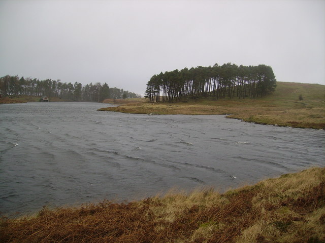
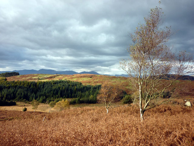
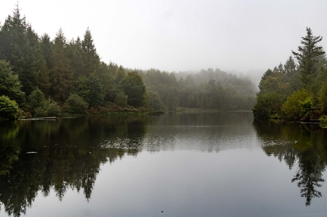
Austin Fell Coppice is a picturesque woodland located in the county of Lancashire, England. Covering an area of approximately 100 acres, this ancient forest is a haven for nature enthusiasts, offering a diverse range of flora and fauna.
The woodland is predominantly composed of deciduous trees, including oak, beech, and birch, which provide a stunning display of vibrant colors throughout the changing seasons. The forest floor is carpeted with a variety of wildflowers, ferns, and mosses, creating a rich tapestry of natural beauty.
Austin Fell Coppice is also home to a wide array of wildlife. Visitors may be lucky enough to spot roe deer, badgers, foxes, and a multitude of bird species, including woodpeckers, owls, and warblers. The tranquil environment provides an ideal habitat for these creatures, making it a popular destination for birdwatchers and wildlife photographers.
The woodland offers several well-maintained footpaths, allowing visitors to explore its enchanting depths. These trails wind through ancient trees, across babbling brooks, and past small ponds, providing a serene and peaceful setting for leisurely strolls or more adventurous hikes.
In addition to its natural beauty, Austin Fell Coppice also holds historical significance. The forest has been managed sustainably for centuries, with evidence of traditional coppicing techniques still visible today. Coppicing involves the regular cutting of trees to encourage new growth, providing a sustainable source of timber and promoting biodiversity.
Overall, Austin Fell Coppice is a true gem in Lancashire's natural landscape, offering a peaceful retreat where visitors can immerse themselves in the beauty of nature.
If you have any feedback on the listing, please let us know in the comments section below.
Ausin Fell Coppice Images
Images are sourced within 2km of 54.31554/-2.982492 or Grid Reference SD3691. Thanks to Geograph Open Source API. All images are credited.


Ausin Fell Coppice is located at Grid Ref: SD3691 (Lat: 54.31554, Lng: -2.982492)
Administrative County: Cumbria
District: South Lakeland
Police Authority: Cumbria
What 3 Words
///animator.geologist.fits. Near Windermere, Cumbria
Nearby Locations
Related Wikis
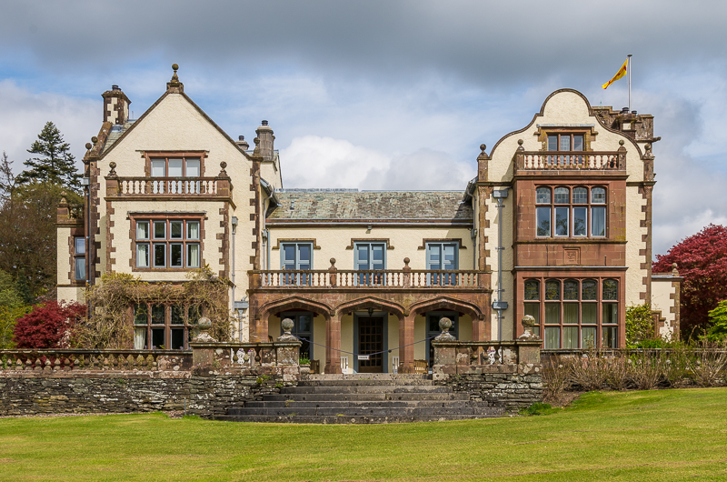
Graythwaite Hall
Graythwaite Hall, in Ulverston, Cumbria in the Lake District of England is the home of the Sandys family. One of the more famous members of the family...

Satterthwaite & Rusland School
Satterthwaite & Rusland School was a Church of England Primary school near Force Forge in the Rusland Valley. The school was established in 1840 for children...

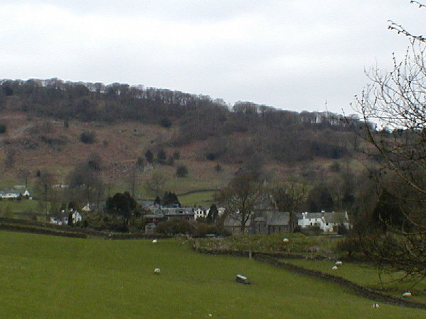
Satterthwaite
Satterthwaite is a small village (and civil parish) with around 50 dwellings situated in Grizedale, a valley in the Lake District, England, about four...

Crosslands
Crosslands is a hamlet in the South Lakeland district of Cumbria, England. It is located just to the northeast of Rusland in the civil parish of Colton...

Cunsey Beck
Cunsey Beck is one of several rivers and streams that replenish the lake of Windermere in the English Lake District. Being just over two miles (3.2 km...

Moor Crag
Moor Crag (sometimes Moorcrag) is a Grade I listed house near Bowness-on-Windermere in South Lakeland, Cumbria, England, overlooking Windermere. It lies...
Finsthwaite Heights
Finsthwaite Heights is an upland area in the English Lake District, above Finsthwaite, Cumbria. It is the subject of a chapter of Wainwright's book The...

Rusland, Cumbria
Rusland is a village in the South Lakeland district of Cumbria, England. It is located just to the southwest of Crosslands in the civil parish of Colton...
Nearby Amenities
Located within 500m of 54.31554,-2.982492Have you been to Ausin Fell Coppice?
Leave your review of Ausin Fell Coppice below (or comments, questions and feedback).