Belpha Wood

Wood, Forest in Herefordshire

England

Belpha Wood

Footpath west from Tremorithic Road Ash is turning colour early this year.
Footpath west from Tremorithic Road Credit: Jonathan Billinger

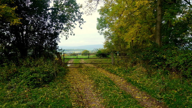
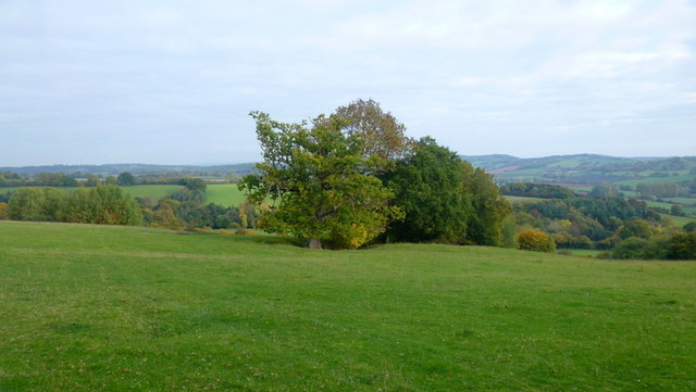
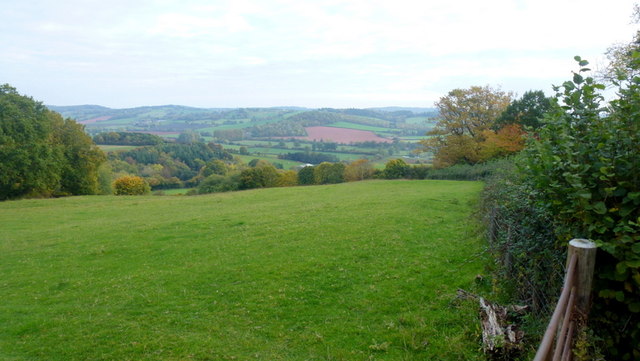
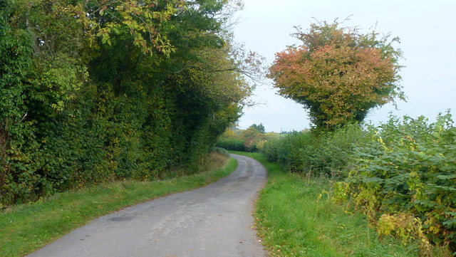
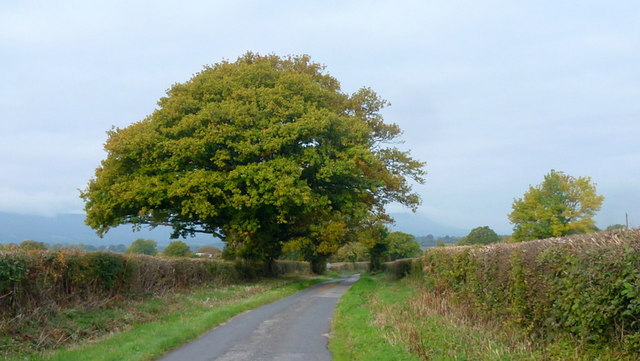
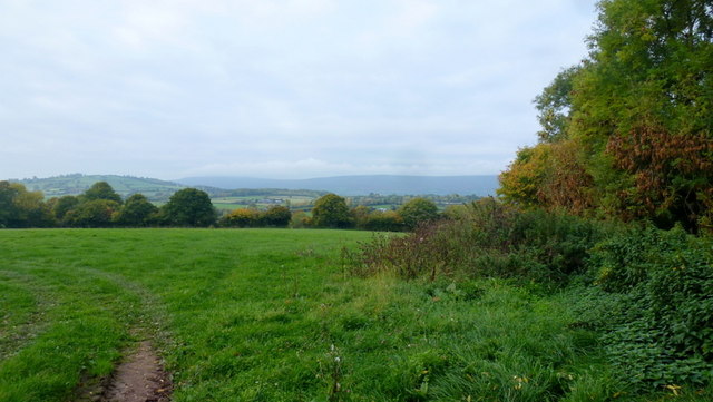
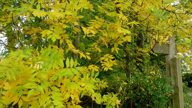
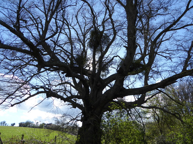
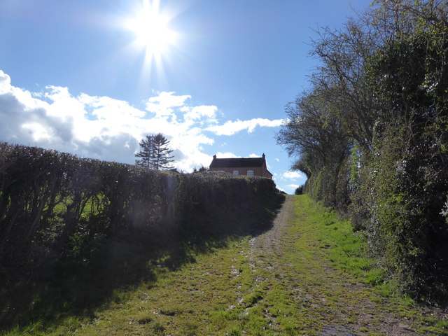
Belpha Wood is a pristine woodland located in the county of Herefordshire, England. Covering an area of approximately 100 acres, it is a remarkable example of a natural forest that has remained largely untouched by human intervention. The wood is nestled within the scenic Herefordshire countryside, offering visitors a tranquil and picturesque setting.

The wood comprises a diverse range of tree species, including oak, ash, beech, and birch. The thick canopy of foliage creates a cool and shaded environment, perfect for those seeking relief from the summer heat. The forest floor is carpeted with a variety of wildflowers, ferns, and mosses, adding to the wood's natural beauty.

Walking through Belpha Wood, one can witness the thriving ecosystem that it supports. The tranquil atmosphere is often interrupted by the melodic songs of woodland birds, such as thrushes and blackbirds. Squirrels can be seen scurrying up and down tree trunks, while rabbits and other small mammals find refuge among the undergrowth.

Belpha Wood is also home to a rich diversity of insects, with butterflies and dragonflies gracefully flitting about. In spring, the wood becomes a haven for bluebells, creating a breathtaking carpet of vibrant blue.

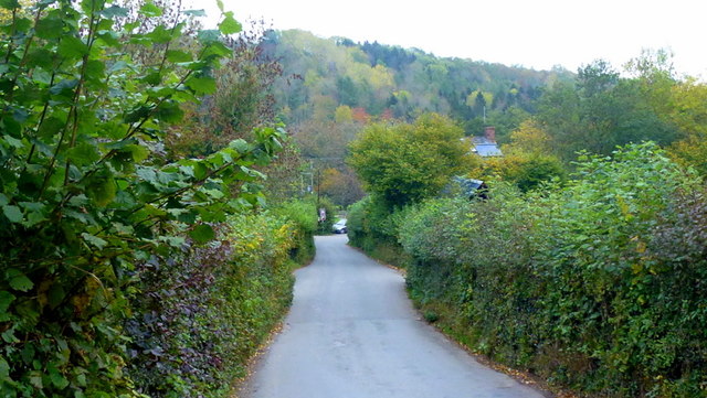
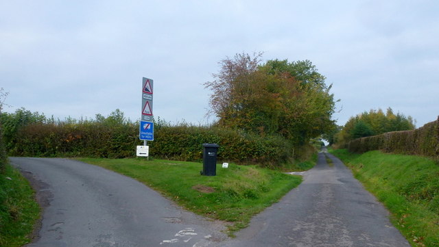
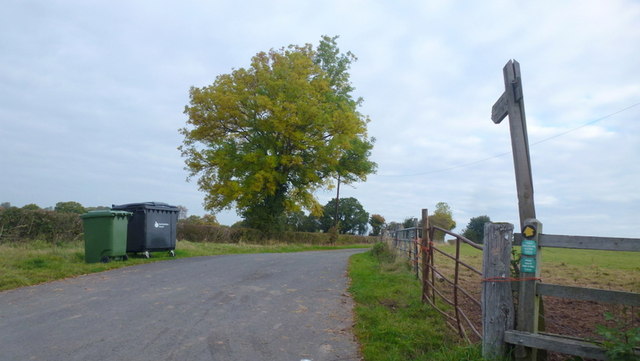
The wood is accessible to the public through a network of well-maintained footpaths, allowing visitors to explore its natural wonders at their own pace. Belpha Wood offers a peaceful retreat for nature lovers, hikers, and photographers, providing a unique opportunity to immerse oneself in the beauty of an untouched forest.

If you have any feedback on the listing, please let us know in the comments section below.

Belpha Wood Images

Images are sourced within 2km of 51.964747/-2.9354941 or Grid Reference SO3529. Thanks to Geograph Open Source API. All images are credited.

Footpath west from Tremorithic Road Ash is turning colour early this year.
Footpath west from Tremorithic Road
Ash is turning colour early this year.
Lower Newton Road named after the farm at the end of the metalled road.
The green lane to the right appears to head directly to Lower Maes-coed.
Lower Newton
Road named after the farm at the end of the metalled road. The green lane to the right appears to head directly to Lower Maes-coed.
Cwm Dulas Land-use in this corner of West Herefordshire.
Cwm Dulas
Land-use in this corner of West Herefordshire.
Road to Ewyas Harold The wooded Dulas valley ahead.
Road to Ewyas Harold
The wooded Dulas valley ahead.
View over the Golden Valley, 1 Looking north from the Tremorithic Road to the west of Abbey Dore.
View over the Golden Valley, 1
Looking north from the Tremorithic Road to the west of Abbey Dore.
View over the Golden Valley, 2 Looking north from the Tremorithic Road to the west of Abbey Dore.
View over the Golden Valley, 2
Looking north from the Tremorithic Road to the west of Abbey Dore.
Tremorithic Road Looking west, away from Abbey Dore.
Tremorithic Road
Looking west, away from Abbey Dore.
Mill Lane at Tremorithic Road The warning sign is for the ford across the Dulas Brook.
Mill Lane at Tremorithic Road
The warning sign is for the ford across the Dulas Brook.
Oaks by Tremorithic Road Still green as at 17th October 2015.
Oaks by Tremorithic Road
Still green as at 17th October 2015.
Farm track and public footpath To Holling Grange Farm pictured from Tremorithic Road.
Farm track and public footpath
To Holling Grange Farm pictured from Tremorithic Road.
View over the Dulas Valley View from Tremorithic, with the dome of Mynydd Merddin to the left and the Hatterrall ridge in the far distance.
View over the Dulas Valley
View from Tremorithic, with the dome of Mynydd Merddin to the left and the Hatterrall ridge in the far distance.
Ash foliage by the footpath signpost This sight is destined to be a rarity as Ash dieback disease spreads across the UK.
Ash foliage by the footpath signpost
This sight is destined to be a rarity as Ash dieback disease spreads across the UK.
Far House Farm The inscription on the stone by Lower Newton Lane confirms the correct name of the farm - smaller scale OS mapping gives 'Firhouse Farm'.
Far House Farm
The inscription on the stone by Lower Newton Lane confirms the correct name of the farm - smaller scale OS mapping gives 'Firhouse Farm'.
Woodland path A detail from the same position as <a href="https://www.geograph.org.uk/photo/4703815">SO3431 : Lower Newton</a> showing an alternate leafy route to Lower Maes-coed.
Woodland path
A detail from the same position as SO3431 : Lower Newton showing an alternate leafy route to Lower Maes-coed.
Lower Newton Lane and telephone box One of a dwindling number of K6 boxes still apparently in use in a very remote West Herefordshire community.
The paintwork has degraded somewhat since <a href="https://www.geograph.org.uk/photo/1816395">SO3430 : Telephone box at Lower Maes-coed</a> but is in better condition than <a href="https://www.geograph.org.uk/photo/685432">SO3430 : Telephone Box</a>.
Lower Newton Lane and telephone box
One of a dwindling number of K6 boxes still apparently in use in a very remote West Herefordshire community. The paintwork has degraded somewhat since SO3430 : Telephone box at Lower Maes-coed but is in better condition than SO3430 : Telephone Box.
Lower Maes-coed Pig farm buildings can be glimpsed through the gap in the hedge to the right.
Lower Maes-coed
Pig farm buildings can be glimpsed through the gap in the hedge to the right.
Tree with Mistletoe Tree beside the path here.
Tree with Mistletoe
Tree beside the path here.
Approaching Hollingwood Farm Nice approach.
Approaching Hollingwood Farm
Nice approach.
Show me another place!

Belpha Wood is located at Grid Ref: SO3529 (Lat: 51.964747, Lng: -2.9354941)

Unitary Authority: County of Herefordshire

Police Authority: West Mercia

What 3 Words

///jumbled.billiard.mostly. Near Bacton, Herefordshire

Nearby Locations

Belpha Wood

Related Wikis

Dulas, Herefordshire

Dulas is a civil parish in the County of Herefordshire in England, 18 km south west of Hereford. There is no village named Dulas, as the parish consists...

Ewyas Harold Meadows

Ewyas Harold Meadows is a nature reserve managed by Butterfly Conservation near the village of Ewyas Harold, Herefordshire, England. == References ==

Bacton, Herefordshire

Bacton (Welsh: Bactwn) is a small village in a rural area of south-west Herefordshire, England, 14 miles (23 km) from Hereford. == History == One mile...

Abbeydore railway station

Abbeydore railway station was a station in Abbey Dore, Herefordshire, England. It was located on the Great Western Railway branch line linking Pontrilas...

Abbey Dore

Abbey Dore is a village and civil parish in Herefordshire, England, known for Dore Abbey, a 12th-century Cistercian abbey, which was expanded in the 13th...
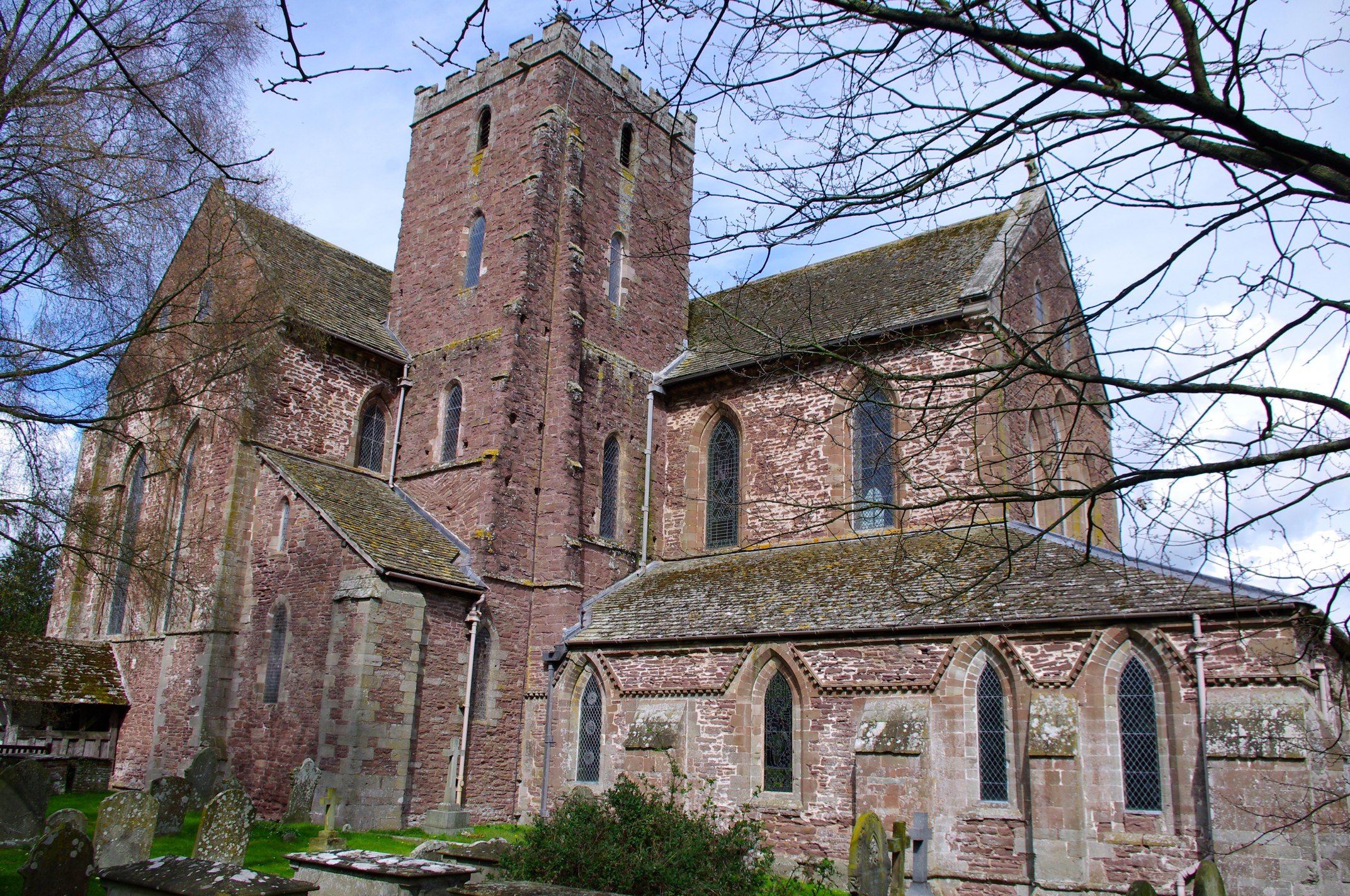
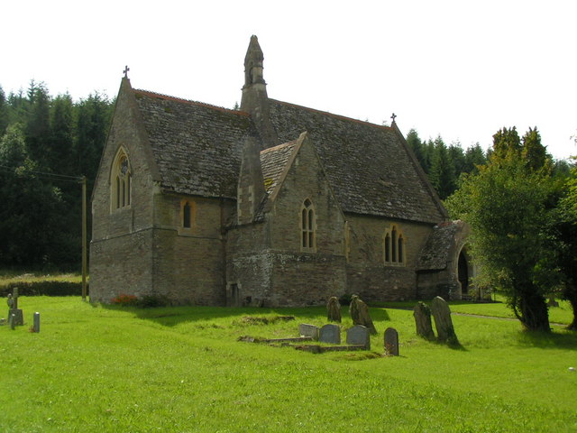
Dore Abbey

Dore Abbey is a former Cistercian abbey in the village of Abbey Dore in the Golden Valley, Herefordshire, England. A large part of the original medieval...

Ewyas Harold Castle

Ewyas Harold Castle was a castle in the village of Ewyas Harold in Herefordshire, England. == History == The first castle on the site is believed to be...
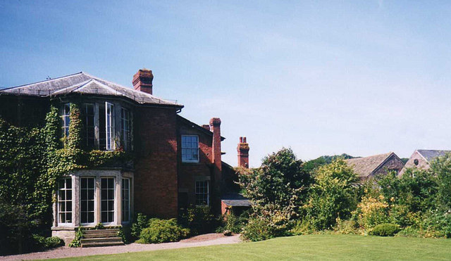
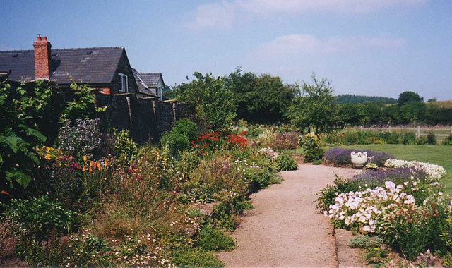
Abbey Dore Court

Abbey Dore Court is a country house in Abbey Dore, Herefordshire, England. It was built in the Golden Valley in 1861 for Thomas Freke Lewis. It includes...

Nearby Amenities

Located within 500m of 51.964747,-2.9354941
Bus Stop
Old Trout Inn
Naptan AtcoCode: 2090A19099
Naptan Bearing: NW
Naptan BusStopType: CUS
Naptan CommonName: Old Trout Inn
Naptan Indicator: adj
Naptan Landmark: Old Trout Inn (House)
Naptan NaptanCode: herajpmj
Naptan Street: N/K
Naptan Verified: no
Source: naptan_import
Lat/Long: 51.9664307/-2.9304926
Bus Stop
Old Trout Inn
Naptan AtcoCode: 2090A19101
Naptan Bearing: SE
Naptan BusStopType: CUS
Naptan CommonName: Old Trout Inn
Naptan Indicator: opp
Naptan Landmark: Old Trout Inn (House)
Naptan NaptanCode: herajpmp
Naptan Street: N/K
Naptan Verified: no
Source: naptan_import
Lat/Long: 51.9664811/-2.9304247
Public Transport: stop_position
Lat/Long: 51.9664685/-2.9304622
Barrier: stile
Lat/Long: 51.9665854/-2.9318171
Generator Method: photovoltaic
Generator Output Electricity: yes
Generator Source: solar
Generator Type: solar_photovoltaic_panel
Location: roof
Power: generator
Lat/Long: 51.9609965/-2.9387972
Dulas Mill
Place: hamlet
Source: OS OpenData StreetView
Lat/Long: 51.9668478/-2.9310107
Ford: yes
Lat/Long: 51.967087/-2.9299778
The data included in this document is from www.openstreetmap.org. The data is made available under ODbL.

Have you been to Belpha Wood?

Leave your review of Belpha Wood below (or comments, questions and feedback).