Coates

Settlement in Cambridgeshire Fenland

England

Coates

Farmland south of Eastrea, from the railway
Farmland south of Eastrea, from the railway Credit: Christopher Hilton

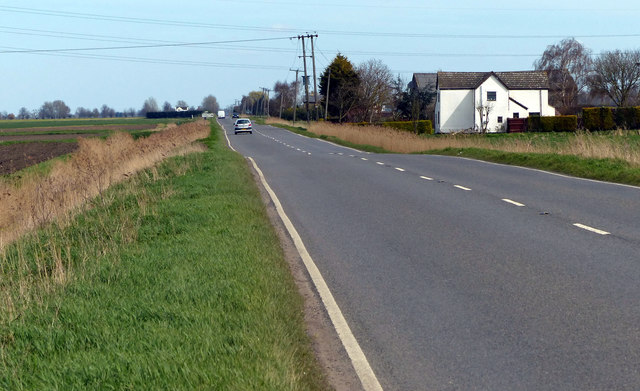
Coates is a small village located in the county of Cambridgeshire, England. Situated approximately five miles northeast of the city of Peterborough, Coates is part of the Fenland district. The village lies close to the border with the county of Lincolnshire and is surrounded by picturesque countryside, making it an attractive location for those seeking a quiet and rural lifestyle.

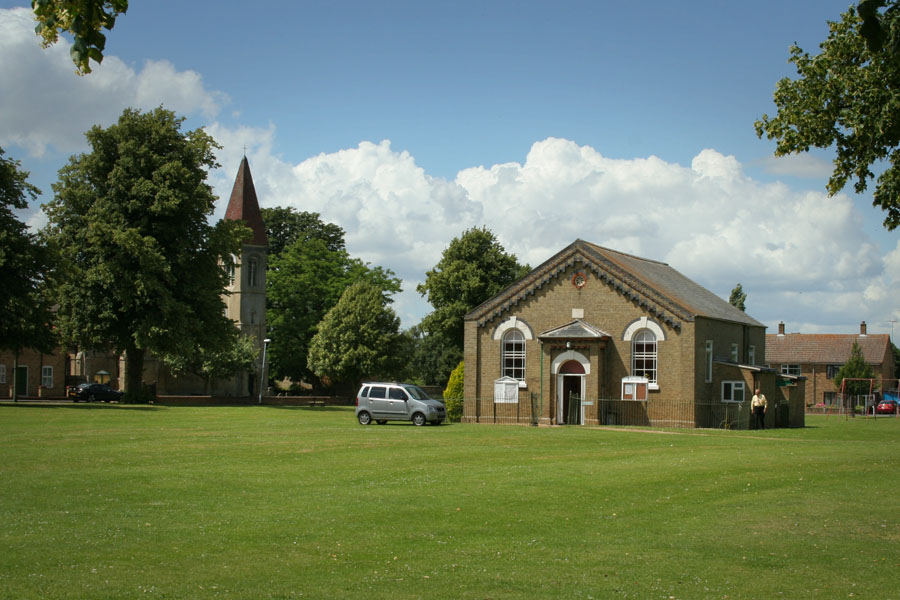
Coates is a close-knit community with a population of around 1,300 residents. The village has a rich history, dating back to medieval times, and can be traced back to the Domesday Book of 1086. One of the notable features in Coates is its impressive St. Mary's Church, which dates back to the 14th century and is a prominent landmark in the village.

The village offers a range of amenities to its residents, including a primary school, a local pub, a village hall, and a small convenience store. Coates also benefits from good transportation links, with easy access to the A605 road, which connects the village to nearby towns and cities.

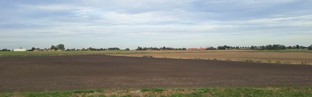
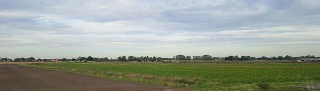
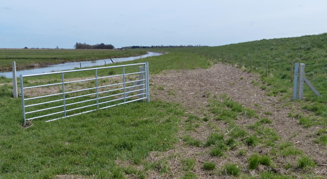
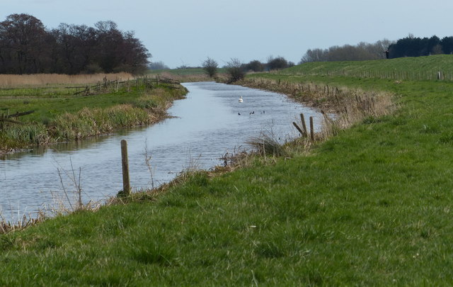
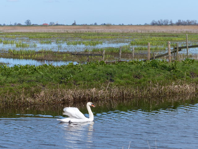
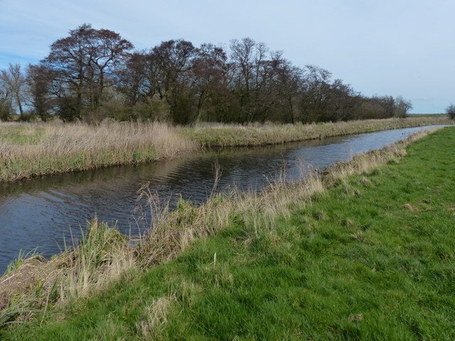
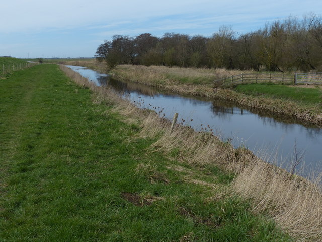
The surrounding area of Coates is predominantly agricultural, with vast fields and farmland stretching out in all directions. This makes it an ideal location for those who enjoy outdoor activities such as walking, cycling, or simply taking in the scenic beauty of the English countryside.

Overall, Coates, Cambridgeshire, offers a peaceful and picturesque setting, combined with a strong sense of community, making it an appealing place to live for those seeking a quieter and more rural lifestyle.

If you have any feedback on the listing, please let us know in the comments section below.
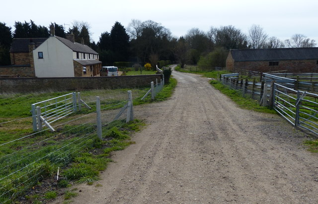
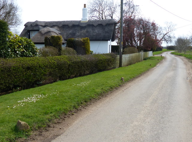
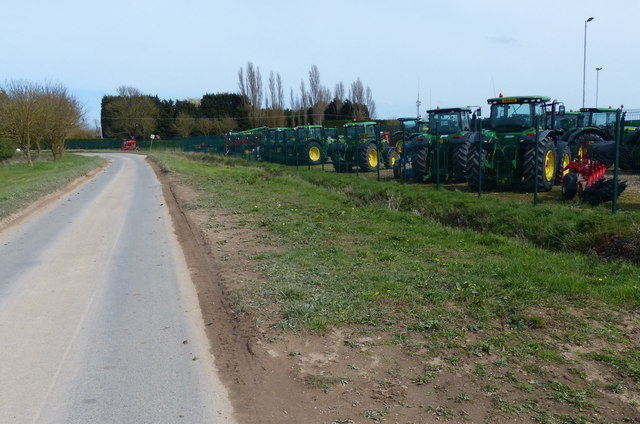
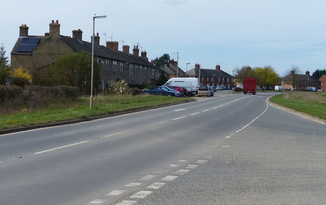
Coates Images

Images are sourced within 2km of 52.561376/-0.071097 or Grid Reference TL3097. Thanks to Geograph Open Source API. All images are credited.

Farmland south of Eastrea, from the railway
Farmland south of Coates The track Cross Drove can just be seen in the bottom right of the picture.
Farmland south of Coates
The track Cross Drove can just be seen in the bottom right of the picture.
Farmland south of Coates, from the railway
Farmland south of Coates
View across farmland towards Matlock Farm
Gate next to Moreton's Leam Drain The Nene Way path runs along the top of the bank on the right.
Gate next to Moreton's Leam Drain
The Nene Way path runs along the top of the bank on the right.
Moreton's Leam Drain on the Nene Washes On the left is a small patch of woodland called Lord's Holt.
Moreton's Leam Drain on the Nene Washes
On the left is a small patch of woodland called Lord's Holt.
Swan on Moreton's Leam Drain In the background is the flooded Nene Washes.
Swan on Moreton's Leam Drain
In the background is the flooded Nene Washes.
Lord's Holt next to Moreton's Leam Drain
Eldernell Sluice on Morton's Leam Next to the car park at Eldernell Farm on the Nene Washes.
Eldernell Sluice on Morton's Leam
Next to the car park at Eldernell Farm on the Nene Washes.
Eldernell Lane and Eldernell Farm
Thatched cottage at Flint Farm, Eldernell
John Deere tractors along Eldernell Lane
A605 March Road in Coates
A605 Wisbech Road near Kingsland Farm
Drain next to the A605 Wisbech Road
A605 Wisbech Road at Kingsland
Show me another place!

Coates is located at Grid Ref: TL3097 (Lat: 52.561376, Lng: -0.071097)

Division: Isle of Ely

Administrative County: Cambridgeshire

District: Fenland

Police Authority: Cambridgeshire

What 3 Words

///connects.hesitate.squeaking. Near Whittlesey, Cambridgeshire

Nearby Locations

Whitecross Stone Coates

Related Wikis

Coates, Cambridgeshire

Coates is a small village close to the town of Whittlesey, in the English county of Cambridgeshire. Coates has a shop which includes a post office. �...

Eastrea

Eastrea is a village in Cambridgeshire, located on the A605 between Whittlesey and Coates. The site has been inhabited since Roman times. The population...

Eastrea railway station

Eastrea railway station was a station serving the village of Eastrea, Cambridgeshire on the Great Eastern Railway's line from Ely to Peterborough. The...
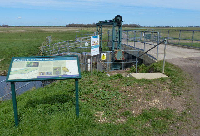
Nene Washes

Nene Washes is a 1,522-hectare (3,760-acre) biological Site of Special Scientific Interest on the bank of the River Nene east of Peterborough in Cambridgeshire...

Bassenhally Pit

Bassenhally Pit is an 8.6-hectare (21-acre) biological Site of Special Scientific Interest north-east of Whittlesey in Cambridgeshire.This former gravel...

Whittlesey Athletic F.C.

Whittlesey Athletic Football Club is a football club based in Whittlesey, Cambridgeshire, England. They are currently members of the Eastern Counties League...

Lattersey Field

Lattersey Field is an 11.9 hectare Local Nature Reserve in Whittlesey in Cambridgeshire. It is owned by Fenland District Council and managed by the Wildlife...

Turves, Cambridgeshire

Turves is a village in the civil parish of Whittlesey, Fenland District, Cambridgeshire, England. It lies east of the town of Whittlesey, south of the...

Nearby Amenities

Located within 500m of 52.561376,-0.071097
Coates
Place: village
Wikidata: Q2633635
Lat/Long: 52.5622566/-0.0744766
Post Office
Coates Post Office
Addr Postcode: PE7 2BL
Branch: Coates
Brand: Post Office
Brand Wikidata: Q1783168
Check Date: 2020-02-20
Contact Website: https://www.postoffice.co.uk/branch-finder/1622307/coates
Ref Pol Id: 3826
Lat/Long: 52.5611449/-0.0742501
Bus Stop
War Memorial
Naptan AtcoCode: 0500FWHIY012
Naptan Bearing: SW
Naptan CommonName: War Memorial
Naptan Indicator: opp
Naptan Landmark: North Green
Naptan NaptanCode: cmbdmdmg
Naptan ShortCommonName: War Memorial
Naptan Street: Coates Road
Naptan Verified: no
Source: naptan_import
Lat/Long: 52.561752/-0.0739884
Bus Stop
March Road
Naptan AtcoCode: 0500FWHIY013
Naptan Bearing: NW
Naptan CommonName: March Road
Naptan Indicator: o/s No 104
Naptan Landmark: March Road
Naptan NaptanCode: cmbdmdmj
Naptan ShortCommonName: March Road
Naptan Street: March Road
Naptan Verified: no
Note: moved after survey
Source: naptan_import
Lat/Long: 52.5617838/-0.0670237
Bus Stop
War Memorial
Naptan AtcoCode: 0500FWHIY020
Naptan Bearing: NE
Naptan CommonName: War Memorial
Naptan Indicator: near
Naptan Landmark: North Green
Naptan NaptanCode: cmbdmdpj
Naptan ShortCommonName: War Memorial
Naptan Street: Coates Road
Naptan Verified: no
Source: naptan_import
Lat/Long: 52.5618353/-0.0741323
Bus Stop
March Road
Naptan AtcoCode: 0500FWHIY024
Naptan Bearing: SE
Naptan CommonName: March Road
Naptan Indicator: opp No 104
Naptan Landmark: March Road
Naptan NaptanCode: cmbdmdta
Naptan ShortCommonName: March Road
Naptan Street: March Road
Naptan Verified: no
Note: moved after survey
Source: naptan_import
Lat/Long: 52.5618034/-0.066616
Bus Stop
Blackthorn Court
Naptan AtcoCode: 0500FWHIY037
Naptan Bearing: SE
Naptan BusStopType: CUS
Naptan CommonName: Blackthorn Court
Naptan Indicator: near
Naptan Landmark: Blackthorn Court
Naptan NaptanCode: cmbdmdwt
Naptan ShortCommonName: Blackthorn Court
Naptan Street: The Fold
Naptan Verified: no
Source: naptan_import
Lat/Long: 52.5636875/-0.0725327
Bus Stop
Blackthorn Court
Naptan AtcoCode: 0500FWHIY041
Naptan Bearing: NW
Naptan BusStopType: CUS
Naptan CommonName: Blackthorn Court
Naptan Indicator: opp
Naptan Landmark: Blackthorn Court
Naptan NaptanCode: cmbdmgaj
Naptan ShortCommonName: Blackthorn Court
Naptan Street: The Fold
Naptan Verified: no
Source: naptan_import
Lat/Long: 52.5636164/-0.0725801
Fast Food
Choy's Chinese Cuisine Takeaway
Lat/Long: 52.562242/-0.0733403
Pub
The Vine
Lat/Long: 52.5618698/-0.0730685
War Memorial
Historic: memorial
Lat/Long: 52.5620608/-0.0738934
Post Box
Ref: PE7 72
Lat/Long: 52.5598404/-0.0689493
Barrier: cycle_barrier
Lat/Long: 52.5620799/-0.0680802
Barrier: cycle_barrier
Lat/Long: 52.5626172/-0.0700744
Spar
Brand: Spar
Brand Wikidata: Q610492
Shop: convenience
Lat/Long: 52.5612108/-0.0741769
Pub
The Carpenters Arms
Lat/Long: 52.5615544/-0.074967
Leisure: playground
Lat/Long: 52.5614189/-0.0735812
Post Box
Note: PO Box ref unreadable
Post Box Design: type_k
Post Box Type: pillar
Royal Cypher: EIIR
Royal Cypher Wikidata: Q33102113
Lat/Long: 52.5614715/-0.0743688
Recycling
Lat/Long: 52.5614989/-0.0744321
Power: pole
Lat/Long: 52.5648441/-0.073077
Power: pole
Lat/Long: 52.5647414/-0.0730073
Power: pole
Lat/Long: 52.5654734/-0.0731705
Power: pole
Lat/Long: 52.5650367/-0.0667981
Power: pole
Lat/Long: 52.5640289/-0.0690616
Power: pole
Lat/Long: 52.5645482/-0.0678994
The data included in this document is from www.openstreetmap.org. The data is made available under ODbL.

Have you been to Coates?

Leave your review of Coates below (or comments, questions and feedback).