Coates

Settlement in Gloucestershire Cotswold

England

Coates

Trewsbury Road towards Coates The gates to the very grand Trewsbury Farm are to the left.
Trewsbury Road towards Coates Credit: Robin Webster

Coates is a small village located in the county of Gloucestershire, England. Situated approximately 4 miles east of the town of Cirencester, Coates is nestled in the picturesque Cotswold district. The village is surrounded by rolling hills and idyllic countryside, offering residents and visitors stunning views and a peaceful atmosphere.

Coates has a rich history that dates back several centuries. The village is known for its traditional stone-built cottages and historic buildings, which add to its charming character. The local church, St. Matthew's, is an architectural gem that dates back to the 12th century and is a prominent landmark in the area.

Despite its small size, Coates offers a range of amenities for its residents. The village has a primary school, providing education for the local children. Additionally, there is a village hall that serves as a hub for various community events and activities.

The surrounding countryside offers ample opportunities for outdoor pursuits, such as hiking, cycling, and horse riding. Coates is also located near the Cotswold Water Park, a popular destination for water sports and leisure activities.

Coates is well-connected to nearby towns and cities. The village is easily accessible by road, with the A417 running close by, providing convenient links to Cirencester and other neighboring areas. Additionally, the nearby Kemble railway station offers regular train services to London and other major cities.

Overall, Coates is a picturesque village with a rich history, offering a tranquil lifestyle amidst the stunning landscapes of the Cotswolds.

If you have any feedback on the listing, please let us know in the comments section below.

Coates Images

Images are sourced within 2km of 51.706086/-2.0360878 or Grid Reference SO9700. Thanks to Geograph Open Source API. All images are credited.

Trewsbury Road towards Coates The gates to the very grand Trewsbury Farm are to the left.
Trewsbury Road towards Coates
The gates to the very grand Trewsbury Farm are to the left.
Lane towards Tarlton
Lane from Tarlton towards Coates
Flooded River Thames at Thames Head On this day the river's source is off into the distance. There were several flood alerts in the area on this day
Flooded River Thames at Thames Head
On this day the river's source is off into the distance. There were several flood alerts in the area on this day
River Thames above Thames Head It was so wet that the source of the river was a few hundred metres upstream from Thames Head - in the flooded field you can see. There was a noticeable flow in the direction of the official source.
River Thames above Thames Head
It was so wet that the source of the river was a few hundred metres upstream from Thames Head - in the flooded field you can see. There was a noticeable flow in the direction of the official source.
Upper Thames completely flooding Wysis Way above Thames Head A very wet day following a very wet few days. There were several flood alerts in the area. Thames Head is downstream to the left. There was a noticeable flow in the direction of the official source.
Upper Thames completely flooding Wysis Way above Thames Head
A very wet day following a very wet few days. There were several flood alerts in the area. Thames Head is downstream to the left. There was a noticeable flow in the direction of the official source.
Flooded very upper reaches of River Thames Boots very necessary on this day. I have walked through this field when it is bone dry. There were several flood alerts in the area. Looking downstream.
Flooded very upper reaches of River Thames
Boots very necessary on this day. I have walked through this field when it is bone dry. There were several flood alerts in the area. Looking downstream.
Flooded very upper reaches of River Thames Looking upstream at the very upper reaches of the River Thames. I have been through here when it is completely dry. There were several flood alerts in the area.
Flooded very upper reaches of River Thames
Looking upstream at the very upper reaches of the River Thames. I have been through here when it is completely dry. There were several flood alerts in the area.
Source of the Thames The Thames rises in the Cotswolds at Trewsbury Mead, 108.5 metres (356 feet) above sea level, though you have to use your imagination to a fair degree as for most of the year there is no sign of water.

The source is marked by a solitary stone with the inscription:


The Conservation of the River Thames
1857 -1974
This Stone was Placed Here to Mark the 
Source of the River Thames
Source of the Thames
The Thames rises in the Cotswolds at Trewsbury Mead, 108.5 metres (356 feet) above sea level, though you have to use your imagination to a fair degree as for most of the year there is no sign of water. The source is marked by a solitary stone with the inscription: The Conservation of the River Thames 1857 -1974 This Stone was Placed Here to Mark the Source of the River Thames
View towards Trewsbury House from barns near Tarlton The source of the Thames is reputed to be in the hollow beyond the copse. In reality the source moves from here downstream for many miles each year, returning in a wet winter.
View towards Trewsbury House from barns near Tarlton
The source of the Thames is reputed to be in the hollow beyond the copse. In reality the source moves from here downstream for many miles each year, returning in a wet winter.
First water from the source of the Thames This is near the stone marking the official source of the Thames.. but the first location where water can be detected, even in dry spells.  The abandoned harvester adds a feeling of the closeness of nature.
First water from the source of the Thames
This is near the stone marking the official source of the Thames.. but the first location where water can be detected, even in dry spells. The abandoned harvester adds a feeling of the closeness of nature.
The path from the Fosse to the Source of the Thames The bike ride along the Thames pathway was about to begin
The path from the Fosse to the Source of the Thames
The bike ride along the Thames pathway was about to begin
Trewsbury House Screened by trees, on an elevated position, inside the boundaries of an iron-age fort.
Trewsbury House
Screened by trees, on an elevated position, inside the boundaries of an iron-age fort.
Towards Hullasey House From pasture in the north west corner of this square.  Hullasey House is on the right, with its gardens to the centre, and open farmland to the left behind a dry stone wall.
Towards Hullasey House
From pasture in the north west corner of this square. Hullasey House is on the right, with its gardens to the centre, and open farmland to the left behind a dry stone wall.
Hullasey Farm, Tarlton From the footpath across pasture in the north east corner of the square.
Hullasey Farm, Tarlton
From the footpath across pasture in the north east corner of the square.
The source of the Thames Bone dry in early September
The source of the Thames
Bone dry in early September
Hidden source of a great river
Stone marking the source of the River Thames Looking to the west
Stone marking the source of the River Thames
Looking to the west
Show me another place!

Coates is located at Grid Ref: SO9700 (Lat: 51.706086, Lng: -2.0360878)

Administrative County: Gloucestershire

District: Cotswold

Police Authority: Gloucestershire

What 3 Words

///obliging.submitted.skimmers. Near Coates, Gloucestershire

Nearby Locations

Coates

Related Wikis

Coates, Gloucestershire

Coates is a village and civil parish situated in Cotswold District, Gloucestershire, England. It is around 3 miles (4.8 km) west of Cirencester and close...
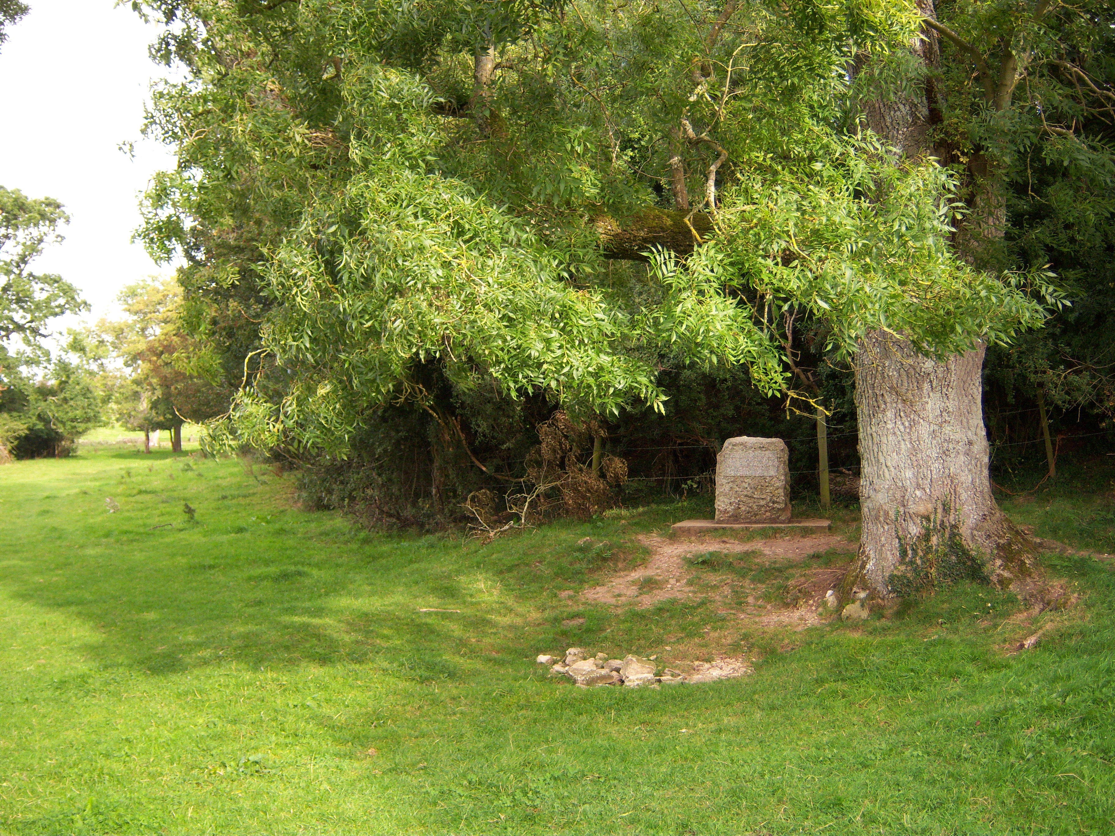
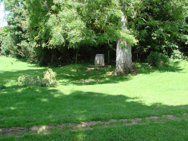
Thames Head

Thames Head is a group of seasonal springs that arise near the village of Coates in the Cotswolds, about three miles south-west of the town of Cirencester...

Tetbury Road railway station

Tetbury Road railway station was built by the Cheltenham & Great Western Union Railway to serve the Gloucestershire villages of Kemble and Coates, and...

Alfred's Hall

Alfred's Hall is a ruined folly in Cirencester Park, Gloucestershire, England. The Grade II* listed building dates from 1721 and is "probably the first...

A419 road

The A419 road is a primary route between Chiseldon near Swindon at junction 15 of the M4 with the A346 road, and Whitminster in Gloucestershire, England...

Sapperton Canal Tunnel

The Sapperton Canal Tunnel is a tunnel on the Thames and Severn Canal near Cirencester in Gloucestershire, England. With a length of 3,817 yards (3,490...

Kemble, Gloucestershire

Kemble is a village in the civil parish of Kemble and Ewen, in the Cotswold district of Gloucestershire, England. Historically part of Wiltshire, it lies...

Cirencester Deer Park School

Cirencester Deer Park School is a secondary school Park. == History == Founded in 1966, the school combined Cirencester Grammar School with the town's...

Nearby Amenities

Located within 500m of 51.706086,-2.0360878
Coates
Is In: Gloucestershire, England, UK
Place: village
Lat/Long: 51.7068989/-2.0326665
Bus Stop
Memorial
Bus: yes
Naptan AtcoCode: 1600GL1381
Naptan Bearing: NE
Naptan CommonName: Memorial
Naptan NaptanCode: glodwgwm
Naptan Street: School Row
Naptan Verified: no
Public Transport: platform
Source: naptan_import
Lat/Long: 51.7064894/-2.0324753
Bus Stop
Memorial
Bus: yes
Naptan AtcoCode: 1600GL1382
Naptan Bearing: SW
Naptan CommonName: Memorial
Naptan Indicator: Opp
Naptan NaptanCode: glodwgwt
Naptan Street: Opp School Row
Naptan Verified: no
Public Transport: platform
Source: naptan_import
Lat/Long: 51.7064895/-2.0323595
Bus Stop
Shephards Arms
Bus: yes
Naptan AtcoCode: 1600GL1383
Naptan Bearing: NE
Naptan CommonName: Shephards Arms
Naptan NaptanCode: glodwjam
Naptan Street: Coates Lane
Naptan Verified: no
Public Transport: platform
Source: naptan_import
Lat/Long: 51.7075958/-2.0310433
Bus Stop
Shephards Arms
Bus: yes
Naptan AtcoCode: 1600GL1384
Naptan Bearing: SW
Naptan CommonName: Shephards Arms
Naptan NaptanCode: glodwjap
Naptan Street: Coates Lane
Naptan Verified: no
Public Transport: platform
Source: naptan_import
Lat/Long: 51.7075328/-2.0310143
Bus Stop
The Rectory
Bus: yes
Naptan AtcoCode: 1600GLC265
Naptan Bearing: SE
Naptan CommonName: The Rectory
Naptan Indicator: Opp
Naptan NaptanCode: glodwgtj
Naptan Street: Trewsbury Rd
Naptan Verified: no
Public Transport: platform
Source: naptan_import
Lat/Long: 51.7062365/-2.0364404
Bus Stop
The Rectory
Bus: yes
Naptan AtcoCode: 1600GLC266
Naptan Bearing: NW
Naptan CommonName: The Rectory
Naptan NaptanCode: glodwgtg
Naptan Street: Trewsbury Rd
Naptan Verified: no
Public Transport: platform
Source: naptan_import
Lat/Long: 51.7062544/-2.0366575
Bus Stop
Glebe House
Bus: yes
Naptan AtcoCode: 1600GLC353
Naptan Bearing: NW
Naptan CommonName: Glebe House
Naptan NaptanCode: glodwgwg
Naptan Street: Trewsbury Rd
Naptan Verified: no
Public Transport: platform
Source: naptan_import
Lat/Long: 51.7050145/-2.0336609
Bus Stop
Glebe House
Bus: yes
Naptan AtcoCode: 1600GLC354
Naptan Bearing: SE
Naptan CommonName: Glebe House
Naptan NaptanCode: glodwgwj
Naptan Street: Trewsbury Rd
Naptan Verified: no
Public Transport: platform
Source: naptan_import
Lat/Long: 51.7050595/-2.0335886
Post Box
Brand: Royal Mail
Brand Wikidata: Q638098
Collection Times: Mo-Fr 09:00; Sa 07:00
Operator: Royal Mail
Operator Wikidata: Q638098
Post Box Design: hovis
Post Box Mounting: wall
Post Box Type: lamp
Ref: GL7 33D
Royal Cypher: EVIIR
Royal Cypher Wikidata: Q33102324
Source: local_knowledge;survey
Lat/Long: 51.7059784/-2.0360401
Church Farm
Landuse: farm
Note Retag: CS #48756035
Source: OS OpenData StreetView
Lat/Long: 51.7074876/-2.0422843
Post Box
Brand: Royal Mail
Brand Wikidata: Q638098
Collection Times: Mo-Fr 16:15; Sa 08:30; Su off
Drive Through: no
Operator: Royal Mail
Operator Wikidata: Q638098
Post Box Type: pillar
Ref: GL7 39
Royal Cypher: EIIR
Royal Cypher Wikidata: Q33102113
Source: survey
Lat/Long: 51.7063255/-2.0323679
Defibrillator
Defibrillator Location: On outside of village hall, Coates
Emergency: defibrillator
Indoor: no
Lat/Long: 51.7058562/-2.0333896
Telephone
Booth: KX100
Covered: booth
Operator: BT
Operator Wikidata: Q593786
Lat/Long: 51.7063576/-2.0324267
Coates War Memorial
Historic: memorial
Inscription: In memory of the Coates men who gave their lives in the two great wars their name liveth for evermore
Material: stone
Memorial: war_memorial
Source: survey
Lat/Long: 51.7065551/-2.0324548
Barrier: stile
Foot: designated
Material: stone
Motor Vehicle: no
Source: survey
Stile: stepover
Lat/Long: 51.706416/-2.0325843
The data included in this document is from www.openstreetmap.org. The data is made available under ODbL.

Have you been to Coates?

Leave your review of Coates below (or comments, questions and feedback).