Knoll Wood
Wood, Forest in Herefordshire
England
Knoll Wood

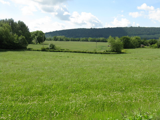
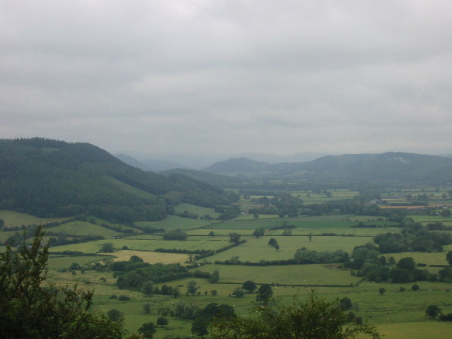
Knoll Wood is a picturesque forest located in the county of Herefordshire, England. It covers a sprawling area of approximately 1,000 acres and is renowned for its natural beauty and diverse wildlife. The woodland is situated on the eastern slopes of the Malvern Hills, offering stunning views of the surrounding countryside.
The forest is predominantly made up of oak and beech trees, which create a dense canopy overhead, providing a tranquil and shaded environment for visitors. The forest floor is carpeted with a variety of native wildflowers, adding vibrant splashes of color to the landscape.
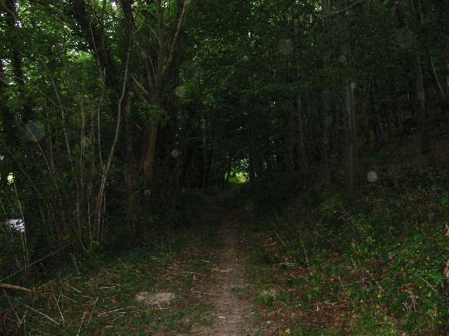
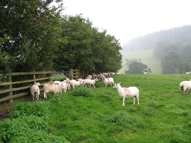
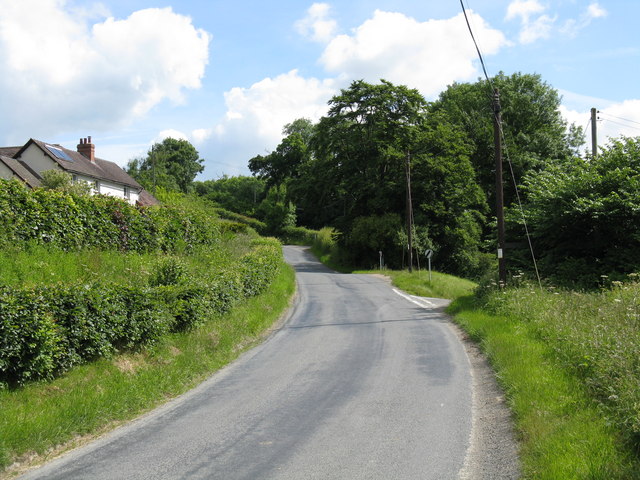
Knoll Wood is a haven for nature enthusiasts and offers numerous walking trails and paths that wind their way through the forest, providing ample opportunities for hiking, birdwatching, and wildlife spotting. The forest is home to a wide range of animal species, including deer, foxes, badgers, and an array of birdlife. It is also known for its abundance of butterflies and insects.
In addition to its natural beauty, Knoll Wood holds historical significance. The forest has remnants of ancient earthworks and archaeological sites, indicating human presence in the area dating back thousands of years. These historical features add an extra layer of interest for visitors seeking to explore the heritage of the region.
Overall, Knoll Wood is a captivating destination for nature lovers, offering a peaceful retreat amidst the beauty of Herefordshire's countryside. Whether one seeks a leisurely stroll or a deeper connection with nature, this forest provides an enchanting experience for all who visit.
If you have any feedback on the listing, please let us know in the comments section below.
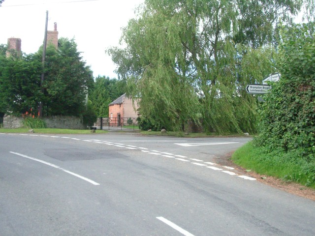
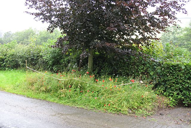
Knoll Wood Images
Images are sourced within 2km of 52.286047/-2.9462216 or Grid Reference SO3565. Thanks to Geograph Open Source API. All images are credited.


Knoll Wood is located at Grid Ref: SO3565 (Lat: 52.286047, Lng: -2.9462216)
Unitary Authority: County of Herefordshire
Police Authority: West Mercia
What 3 Words
///slippery.limes.innocence. Near Kinsham, Herefordshire
Nearby Locations
Related Wikis
Kinsham
Kinsham is a civil parish which lies in the wooded hills of Herefordshire, England in the Marches near to the border with Wales, about 3 miles (5 km) east...

Willey, Herefordshire
Willey is a civil parish in Herefordshire, on the Welsh-English borders. The main source of employment is farming and there were a total of 61 residents...
Lingen, Herefordshire
Lingen is a village and civil parish, situated in the wooded hills of Herefordshire, England in the Welsh Marches near to the border with Wales and close...
Stapleton, Herefordshire
Stapleton is a small village and civil parish in Herefordshire near the border town of Presteigne in Wales. The parish borders on Willey, Kinsham and Presteigne...
Limebrook Priory
Limebrook Priory was a priory in Lingen, Herefordshire, England at grid reference SO37386604. == History == === Origins === Situated in Lingen, Herefordshire...
Combe, Herefordshire
Combe is a small village and civil parish in the English county of Herefordshire. The village lies 4 km (2 mi) east of Presteigne near the confluence...
Kinsham Grange
Kinsham Grange may have been a priory near the River Lugg in Herefordshire, England at grid reference SO380652. It now seems likely that an error by John...
Combe Moor
Combe Moor, also known as Coombes Moor, is a linear hamlet in the civil parish of Byton in Herefordshire, England, to the south-east of the Welsh town...
Nearby Amenities
Located within 500m of 52.286047,-2.9462216Have you been to Knoll Wood?
Leave your review of Knoll Wood below (or comments, questions and feedback).