Birchen Coppice
Wood, Forest in Herefordshire
England
Birchen Coppice

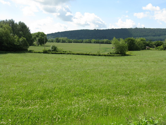
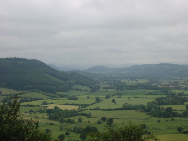
Birchen Coppice is a picturesque woodland located in Herefordshire, England. Covering an area of approximately 100 acres, it is a popular destination for nature enthusiasts, hikers, and those seeking a peaceful retreat in the heart of the countryside.
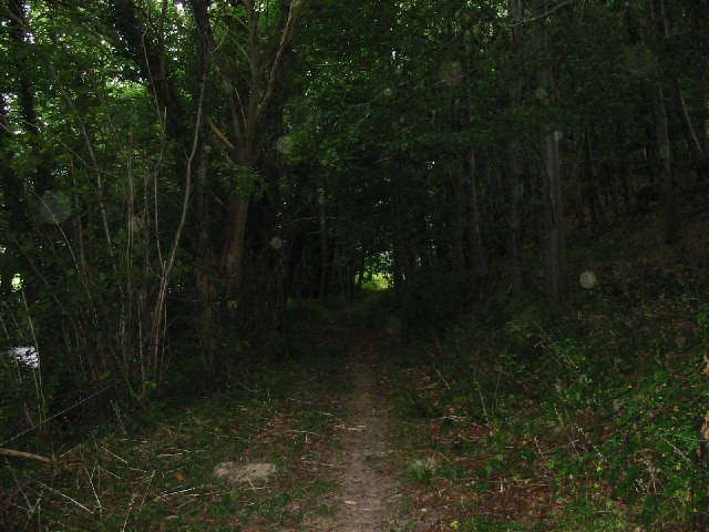
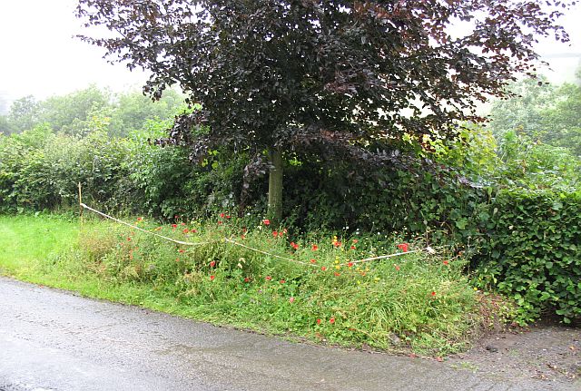
The woodland is characterized by its dense population of birch trees, from which it derives its name. These tall, slender trees create a serene and enchanting atmosphere, particularly when their leaves turn golden in the autumn months. The forest floor is adorned with a carpet of ferns, bluebells, and other wildflowers, adding to the area's natural charm.
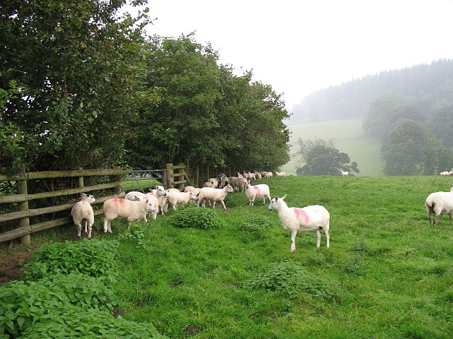
Birchen Coppice is home to a diverse range of wildlife, making it a haven for animal lovers. Visitors may spot various bird species, including woodpeckers, owls, and finches, as well as small mammals such as squirrels, rabbits, and foxes. The woodland also provides a habitat for a variety of insects and butterflies.
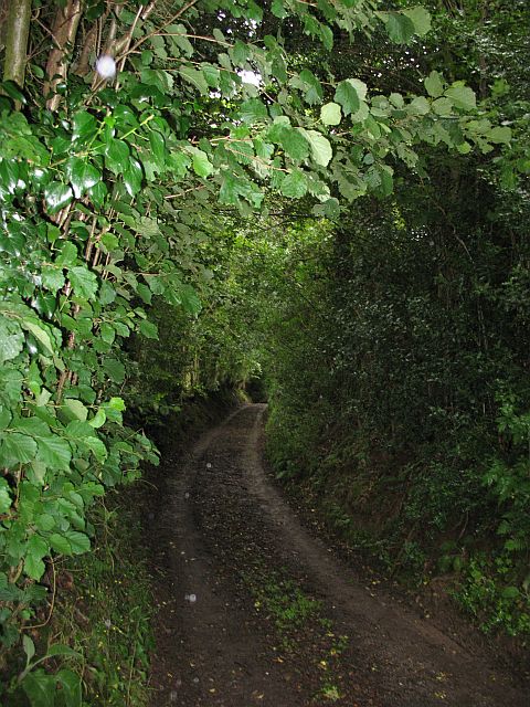
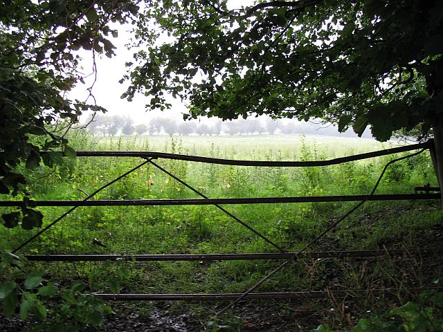
Trails and footpaths wind their way through Birchen Coppice, allowing visitors to explore the woodland at their own pace. These paths offer stunning views of the surrounding countryside, with glimpses of rolling hills and meandering streams.
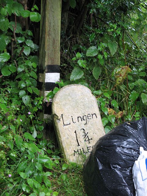
For those interested in history, Birchen Coppice has historical significance as it was once part of an ancient forest that covered much of Herefordshire. Remnants of this past can still be seen in the form of old tree stumps and the occasional stone wall.
Overall, Birchen Coppice is a captivating woodland that offers a tranquil escape from the hustle and bustle of everyday life. With its beautiful scenery, diverse wildlife, and rich history, it is a must-visit destination for nature lovers and outdoor enthusiasts alike.
If you have any feedback on the listing, please let us know in the comments section below.
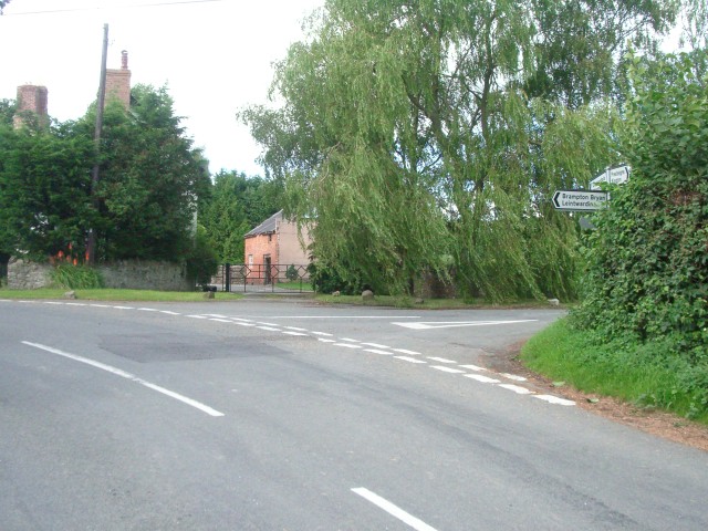
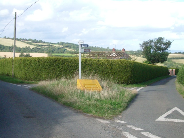
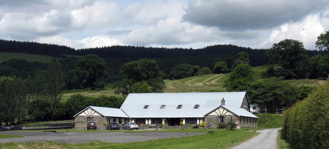
Birchen Coppice Images
Images are sourced within 2km of 52.289774/-2.9489401 or Grid Reference SO3566. Thanks to Geograph Open Source API. All images are credited.


Birchen Coppice is located at Grid Ref: SO3566 (Lat: 52.289774, Lng: -2.9489401)
Unitary Authority: County of Herefordshire
Police Authority: West Mercia
What 3 Words
///fevered.offhand.newer. Near Kinsham, Herefordshire
Nearby Locations
Related Wikis

Willey, Herefordshire
Willey is a civil parish in Herefordshire, on the Welsh-English borders. The main source of employment is farming and there were a total of 61 residents...
Lingen, Herefordshire
Lingen is a village and civil parish, situated in the wooded hills of Herefordshire, England in the Welsh Marches near to the border with Wales and close...
Stapleton, Herefordshire
Stapleton is a small village and civil parish in Herefordshire near the border town of Presteigne in Wales. The parish borders on Willey, Kinsham and Presteigne...
Kinsham
Kinsham is a civil parish which lies in the wooded hills of Herefordshire, England in the Marches near to the border with Wales, about 3 miles (5 km) east...
Limebrook Priory
Limebrook Priory was a priory in Lingen, Herefordshire, England at grid reference SO37386604. == History == === Origins === Situated in Lingen, Herefordshire...
Combe, Herefordshire
Combe is a small village and civil parish in the English county of Herefordshire. The village lies 4 km (2 mi) east of Presteigne near the confluence...
Kinsham Grange
Kinsham Grange may have been a priory near the River Lugg in Herefordshire, England at grid reference SO380652. It now seems likely that an error by John...
Combe Moor
Combe Moor, also known as Coombes Moor, is a linear hamlet in the civil parish of Byton in Herefordshire, England, to the south-east of the Welsh town...
Nearby Amenities
Located within 500m of 52.289774,-2.9489401Have you been to Birchen Coppice?
Leave your review of Birchen Coppice below (or comments, questions and feedback).