Blackpool Wood

Wood, Forest in Herefordshire

England

Blackpool Wood

St. Margaret's church, Herefordshire Interesting, remote and historic church, <span class="nowrap"><a title="http://www.visitherefordshirechurches.co.uk/st-margarets-st-margarets/" rel="nofollow ugc noopener" href="http://www.visitherefordshirechurches.co.uk/st-margarets-st-margarets/">Link</a><img style="margin-left:2px;" alt="External link" title="External link - shift click to open in new window" src="https://s1.geograph.org.uk/img/external.png" width="10" height="10"/></span> here.
St. Margaret's church, Herefordshire Credit: Jeremy Bolwell

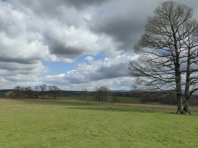
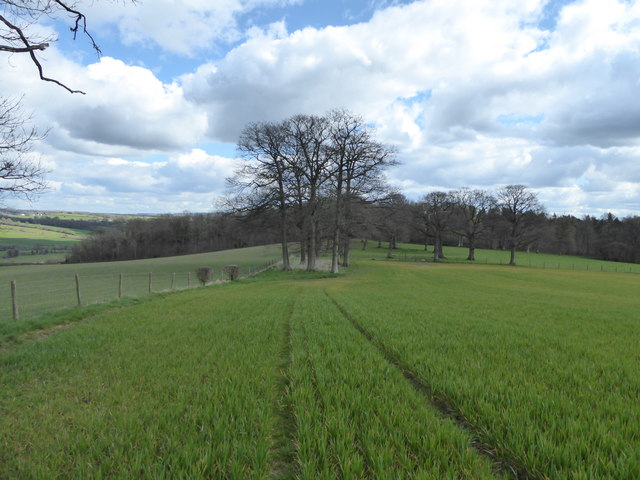
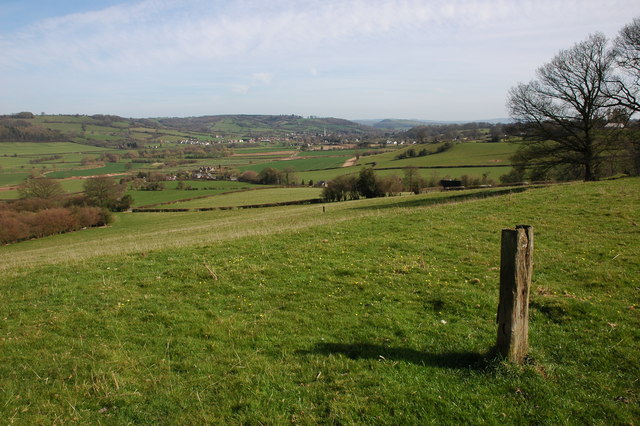
Blackpool Wood is a picturesque forest located in Herefordshire, a county in the west of England. Situated near the town of Hereford, this woodland area spans approximately 500 acres and is a popular destination for nature lovers and outdoor enthusiasts.

The wood is predominantly composed of native deciduous trees, including oak, beech, and ash, creating a diverse and vibrant ecosystem. The forest floor is covered in a carpet of mosses, ferns, and wildflowers, providing a rich habitat for a variety of wildlife species.

Blackpool Wood is home to a wide range of bird species, making it a haven for birdwatchers. Visitors may spot common woodland birds such as robins, blue tits, and blackbirds, as well as rarer species like woodpeckers and owls. The tranquil atmosphere and abundance of birdlife make it an ideal location for birdwatching and photography.

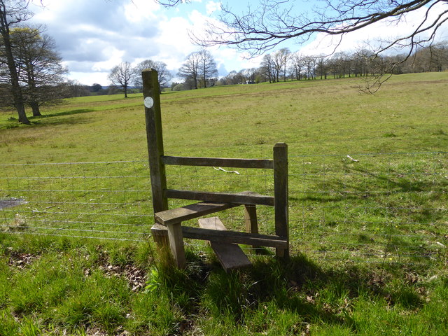
In addition to its natural beauty, Blackpool Wood offers several walking trails and paths for visitors to explore. These well-marked routes wind through the forest, allowing visitors to immerse themselves in the peaceful surroundings and enjoy the sights and sounds of nature. The forest also features picnic areas and benches, providing opportunities for visitors to relax and soak in the serene atmosphere.

Blackpool Wood is managed and maintained by the local authorities, ensuring its preservation for future generations to enjoy. With its stunning scenery, diverse wildlife, and peaceful ambiance, Blackpool Wood is a must-visit destination for those seeking a tranquil escape in the heart of Herefordshire.

If you have any feedback on the listing, please let us know in the comments section below.

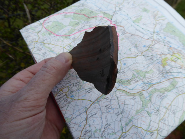
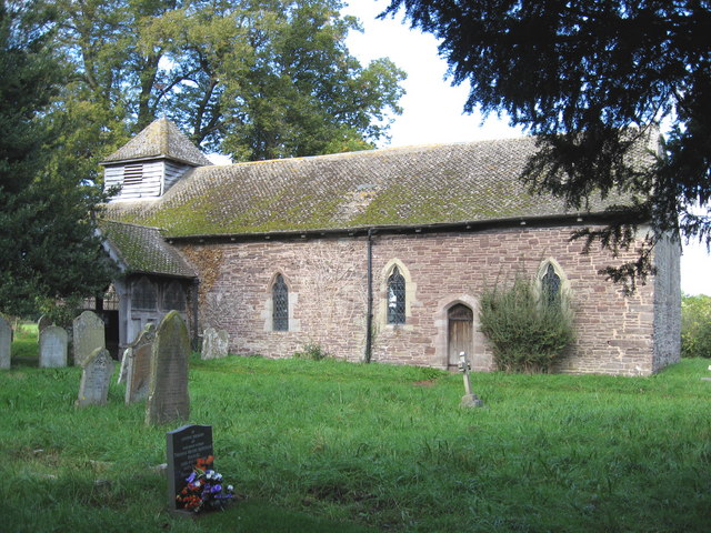
Blackpool Wood Images

Images are sourced within 2km of 52.006922/-2.9481159 or Grid Reference SO3534. Thanks to Geograph Open Source API. All images are credited.

St. Margaret's church, Herefordshire Interesting, remote and historic church, <span class="nowrap"><a title="http://www.visitherefordshirechurches.co.uk/st-margarets-st-margarets/" rel="nofollow ugc noopener" href="http://www.visitherefordshirechurches.co.uk/st-margarets-st-margarets/">Link</a><img style="margin-left:2px;" alt="External link" title="External link - shift click to open in new window" src="https://s1.geograph.org.uk/img/external.png" width="10" height="10"/></span> here.
St. Margaret's church, Herefordshire
Interesting, remote and historic church, LinkExternal link here.
St. Margaret's church, Herefordshire A spring wedding is taking place here today, what a location for a deep and meaningful life event.
St. Margaret's church, Herefordshire
A spring wedding is taking place here today, what a location for a deep and meaningful life event.
On the Herefordshire Trail near St. Margarets Lovely spring walking.
On the Herefordshire Trail near St. Margarets
Lovely spring walking.
Sheep pasture at Park Farm, St. Margarets, Herefordshire A lamb inspects us as we pass by on the Herefordshire Trail.
Sheep pasture at Park Farm, St. Margarets, Herefordshire
A lamb inspects us as we pass by on the Herefordshire Trail.
Part of the Herefordshire Trail near St. Margarets Link to a Wikipedia article on this lovely long distance walk here <span class="nowrap"><a title="https://en.wikipedia.org/wiki/Herefordshire_Trail" rel="nofollow ugc noopener" href="https://en.wikipedia.org/wiki/Herefordshire_Trail">Link</a><img style="margin-left:2px;" alt="External link" title="External link - shift click to open in new window" src="https://s1.geograph.org.uk/img/external.png" width="10" height="10"/></span>
Part of the Herefordshire Trail near St. Margarets
Link to a Wikipedia article on this lovely long distance walk here LinkExternal link
Stile on the Herefordshire Trail Looking back towards Park Farm and St. Margarets.
Stile on the Herefordshire Trail
Looking back towards Park Farm and St. Margarets.
Field edge walking on the Herefordshire Trail Lots of pottery sherds to be found in the ploughsoil here.
Field edge walking on the Herefordshire Trail
Lots of pottery sherds to be found in the ploughsoil here.
Pottery sherds found on the ploughsoil surface Medieval pottery I think. These are sherds my walking partner found in maybe two minutes, or less, strolling down the ploughsoil, that she spotted, having no field-walking training or experience. There's obviously more there than we saw. 

This little assemblage seems to be from at least 4 separate vessels. I'm no expert but it looks medieval to me. That is not prehistoric, not more recent such as Victorian.
Pottery sherds found on the ploughsoil surface
Medieval pottery I think. These are sherds my walking partner found in maybe two minutes, or less, strolling down the ploughsoil, that she spotted, having no field-walking training or experience. There's obviously more there than we saw. This little assemblage seems to be from at least 4 separate vessels. I'm no expert but it looks medieval to me. That is not prehistoric, not more recent such as Victorian.
Pottery sherd found on the ploughsoil surface Nice piece.
Pottery sherd found on the ploughsoil surface
Nice piece.
Maerdy farm, Herefordshire Wow, lovely old place.
Maerdy farm, Herefordshire
Wow, lovely old place.
Path in Maerdy Wood Lovely path below pines.
Path in Maerdy Wood
Lovely path below pines.
At the top of Maerdy Wood Interesting place.
At the top of Maerdy Wood
Interesting place.
St. Margaret's church, Herefordshire At close of day.
St. Margaret's church, Herefordshire
At close of day.
Rood screen in St. Margaret's church <span class="nowrap"><a title="http://www.visitherefordshirechurches.co.uk/st-margarets-st-margarets/" rel="nofollow ugc noopener" href="http://www.visitherefordshirechurches.co.uk/st-margarets-st-margarets/">Link</a><img style="margin-left:2px;" alt="External link" title="External link - shift click to open in new window" src="https://s1.geograph.org.uk/img/external.png" width="10" height="10"/></span> here.
Rood screen in St. Margaret's church
LinkExternal link here.
Chanstone tump Remains of the Ringwork Castle at Chanstone
Chanstone tump
Remains of the Ringwork Castle at Chanstone
St Margaret's Church
St John the Baptist Church at Newton
St Margaret's church The remote St Margaret's church, high up above the Golden Valley.  The church contains an excellent example of a rood loft, one of a very small number which have survived in England.  Its remoteness may have been the reason it has survived.  The church dates from the 12th century and it is Grade I listed.  See: <span class="nowrap"><a title="https://historicengland.org.uk/listing/the-list/list-entry/1266723" rel="nofollow ugc noopener" href="https://historicengland.org.uk/listing/the-list/list-entry/1266723">Link</a><img style="margin-left:2px;" alt="External link" title="External link - shift click to open in new window" src="https://s1.geograph.org.uk/img/external.png" width="10" height="10"/></span>  The church appears in Simon Jenkins' book 'One Thousand Best English Churches'.
St Margaret's church
The remote St Margaret's church, high up above the Golden Valley. The church contains an excellent example of a rood loft, one of a very small number which have survived in England. Its remoteness may have been the reason it has survived. The church dates from the 12th century and it is Grade I listed. See: LinkExternal link The church appears in Simon Jenkins' book 'One Thousand Best English Churches'.
Show me another place!

Blackpool Wood is located at Grid Ref: SO3534 (Lat: 52.006922, Lng: -2.9481159)

Unitary Authority: County of Herefordshire

Police Authority: West Mercia

What 3 Words

///mills.pulp.rejoined. Near Turnastone, Herefordshire

Related Wikis

St Margarets, Herefordshire

St Margarets is a village and civil parish 11 miles (18 km) west of Hereford, in the county of Herefordshire, England. The parish includes the hamlet of...

Newton, Golden Valley

Newton is a village and civil parish 11 miles (18 km) south west of Hereford, in the county of Herefordshire, England. In 2011 the parish had a population...

Golden Valley (Herefordshire)

The Golden Valley is the name given to the valley of the River Dore in western Herefordshire, England. The valley is a picturesque area of gently rolling...

Turnastone

Turnastone is a village and civil parish 10 miles (16 km) west of Hereford, in the county of Herefordshire, England. In 2001 the parish had a population...

Vowchurch railway station

Vowchurch railway station was a railway station on the Golden Valley Railway line between Abergavenny and Hay-on-Wye. It served the village of Vowchurch...

Vowchurch

Vowchurch is a village and civil parish in Herefordshire, England, situated in the Golden Valley, on the River Dore. The village is about 10 miles (16...

Bacton, Herefordshire

Bacton (Welsh: Bactwn) is a small village in a rural area of south-west Herefordshire, England, 14 miles (23 km) from Hereford. == History == One mile...
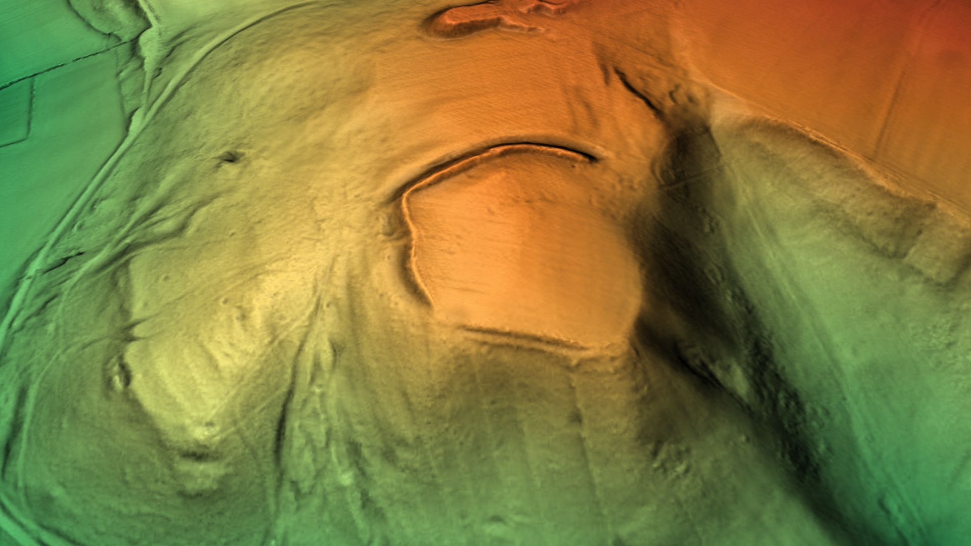
Poston Camp

Poston Camp is an Iron Age hill fort located just south of Vowchurch, Herefordshire. == Further reading == Children, G; Nash, G (1994) Prehistoric Sites...

Nearby Amenities

Located within 500m of 52.006922,-2.9481159
Barrier: stile
Source: survey
Lat/Long: 52.0067909/-2.9447967
Barrier: stile
Source: survey
Lat/Long: 52.0050949/-2.9454243
Barrier: stile
Source: survey
Lat/Long: 52.0044905/-2.9451078
Barrier: stile
Source: survey
Lat/Long: 52.0043175/-2.9450355
Barrier: stile
Source: survey
Lat/Long: 52.0033679/-2.9503983
Barrier: stile
Source: survey
Lat/Long: 52.0052728/-2.9534386
Barrier: stile
Source: survey
Lat/Long: 52.0047805/-2.952355
Barrier: stile
Source: survey
Lat/Long: 52.0064325/-2.9552451
Ford: yes
Source: survey
Lat/Long: 52.005273/-2.9452801
Barrier: stile
Source: survey
Lat/Long: 52.0031661/-2.9491854
The data included in this document is from www.openstreetmap.org. The data is made available under ODbL.

Have you been to Blackpool Wood?

Leave your review of Blackpool Wood below (or comments, questions and feedback).