Downsell Wood
Wood, Forest in Herefordshire
England
Downsell Wood
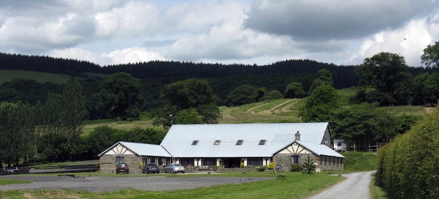
Downsell Wood is a picturesque woodland located in Herefordshire, England. Covering an area of approximately 100 acres, it is a haven for nature enthusiasts and outdoor lovers alike. The wood is situated in a rural setting, surrounded by rolling hills and stunning countryside views.
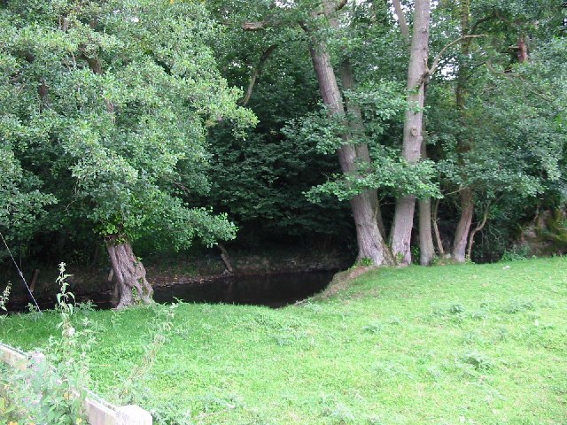
The woodland is predominantly composed of native broadleaf species, including oak, ash, beech, and birch trees. These towering trees create a dense canopy, providing shade and shelter to a diverse range of flora and fauna. Downsell Wood is particularly renowned for its vibrant spring display, when the forest floor is carpeted with bluebells, primroses, and wild garlic.
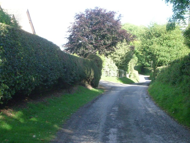
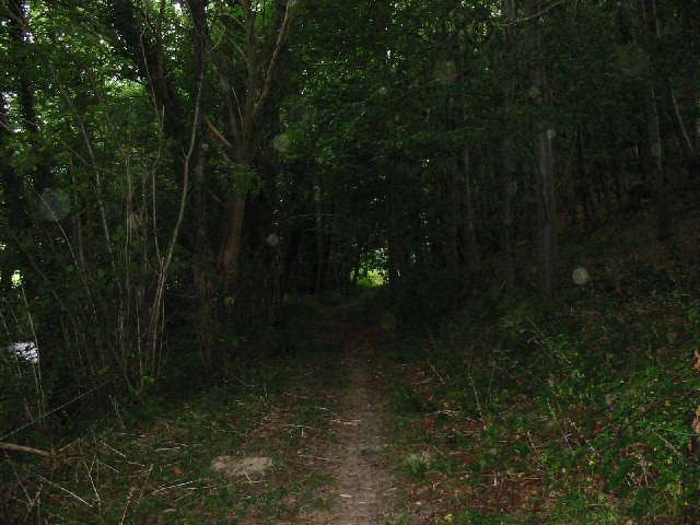
The wood is crisscrossed with a network of well-maintained footpaths, allowing visitors to explore its beauty at their own pace. Walking through the wood, visitors may encounter a variety of wildlife, including deer, badgers, foxes, and numerous bird species. The tranquility and natural beauty of Downsell Wood make it a popular spot for birdwatching and nature photography.
In addition to its natural attractions, Downsell Wood also offers recreational activities for visitors. There are designated areas for picnicking and camping, allowing families and friends to enjoy a day out or a weekend getaway in the heart of nature. The wood also hosts educational programs and guided walks, providing visitors with insights into the local ecosystem and conservation efforts.
Overall, Downsell Wood is a stunning forested area in Herefordshire, offering a peaceful and immersive experience in nature for all who visit.
If you have any feedback on the listing, please let us know in the comments section below.
Downsell Wood Images
Images are sourced within 2km of 52.27862/-2.9540812 or Grid Reference SO3564. Thanks to Geograph Open Source API. All images are credited.


Downsell Wood is located at Grid Ref: SO3564 (Lat: 52.27862, Lng: -2.9540812)
Unitary Authority: County of Herefordshire
Police Authority: West Mercia
What 3 Words
///peach.punctured.offline. Near Kinsham, Herefordshire
Nearby Locations
Related Wikis
Kinsham
Kinsham is a civil parish which lies in the wooded hills of Herefordshire, England in the Marches near to the border with Wales, about 3 miles (5 km) east...

Combe, Herefordshire
Combe is a small village and civil parish in the English county of Herefordshire. The village lies 4 km (2 mi) east of Presteigne near the confluence...
Stapleton, Herefordshire
Stapleton is a small village and civil parish in Herefordshire near the border town of Presteigne in Wales. The parish borders on Willey, Kinsham and Presteigne...
Willey, Herefordshire
Willey is a civil parish in Herefordshire, on the Welsh-English borders. The main source of employment is farming and there were a total of 61 residents...
Have you been to Downsell Wood?
Leave your review of Downsell Wood below (or comments, questions and feedback).