Bricklay Coppice

Wood, Forest in Herefordshire

England

Bricklay Coppice

Poole House (Woonton) This timber-framed house was built in the late 17th or early 18th century with later alterations, and was grade II listed in 1987. There is a green situated south of the house, along with a country lane heading to the village of Almeley to the west.
Poole House (Woonton) Credit: Fabian Musto

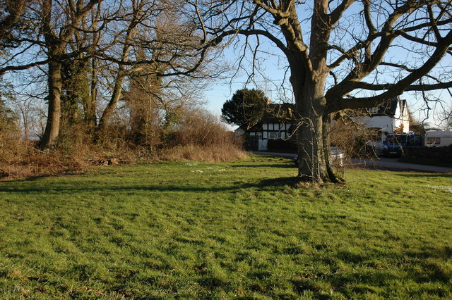
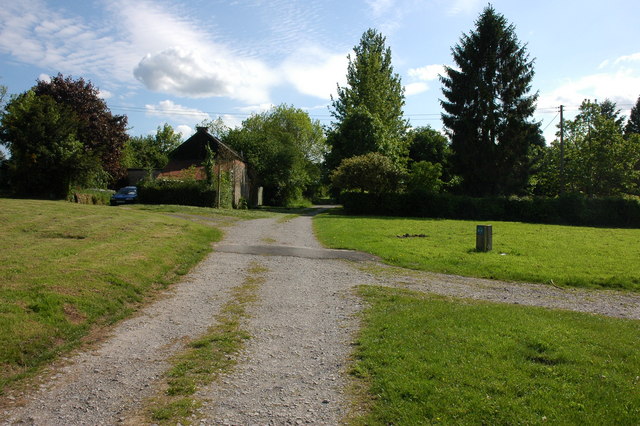
Bricklay Coppice is a picturesque woodland located in Herefordshire, a county in the West Midlands region of England. Covering an area of approximately 50 acres, this enchanting forest is nestled amidst the rolling hills of the countryside, offering a serene and tranquil escape from the hustle and bustle of daily life.

The coppice is primarily composed of native broadleaf trees, including oak, ash, birch, and beech, which create a dense canopy that provides shade and shelter to a diverse array of wildlife. The forest floor is adorned with a vibrant carpet of bluebells in the spring, adding a burst of color to the already captivating landscape.

Walking through Bricklay Coppice, visitors have the opportunity to immerse themselves in nature and explore the numerous winding paths that crisscross the woodland. These pathways lead to hidden clearings, babbling brooks, and secluded picnic spots, making it an ideal destination for nature lovers, hikers, and families alike.

The forest is also home to a rich variety of wildlife, with sightings of deer, foxes, badgers, and a plethora of bird species being common. Birdwatching enthusiasts will delight in the chance to spot woodpeckers, owls, and various migratory birds that visit the area throughout the year.

Bricklay Coppice is a popular destination for outdoor enthusiasts seeking a peaceful retreat. Its natural beauty, diverse flora and fauna, and tranquil ambiance make it a true haven for those looking to reconnect with nature in the heart of Herefordshire.

If you have any feedback on the listing, please let us know in the comments section below.

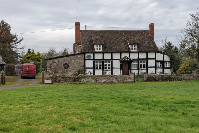
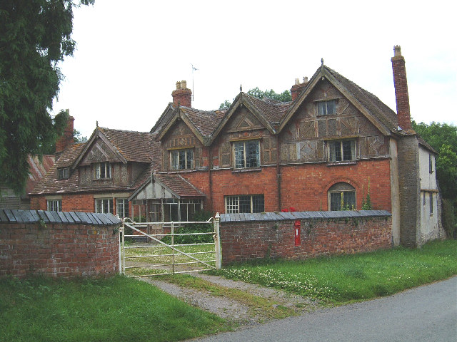
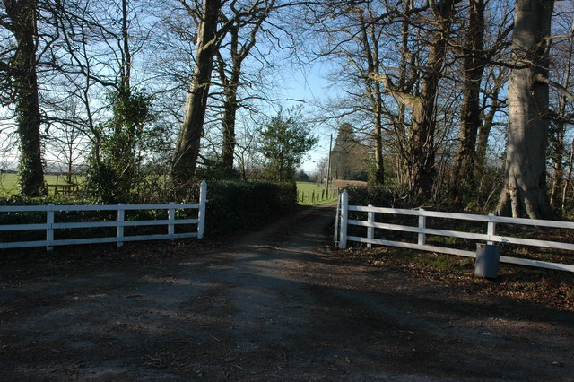
Bricklay Coppice Images

Images are sourced within 2km of 52.175729/-2.9520969 or Grid Reference SO3453. Thanks to Geograph Open Source API. All images are credited.

Poole House (Woonton) This timber-framed house was built in the late 17th or early 18th century with later alterations, and was grade II listed in 1987. There is a green situated south of the house, along with a country lane heading to the village of Almeley to the west.
Poole House (Woonton)
This timber-framed house was built in the late 17th or early 18th century with later alterations, and was grade II listed in 1987. There is a green situated south of the house, along with a country lane heading to the village of Almeley to the west.
Disused chapel, Almeley Wootton Old maps show this as a Methodist chapel, but it has fallen into disuse, although the interior still looks quite tidy.
Disused chapel, Almeley Wootton
Old maps show this as a Methodist chapel, but it has fallen into disuse, although the interior still looks quite tidy.
Summer House Farm Red brick and timber house at Almeley Wootton, near Almeley, Herefordshire.
Summer House Farm
Red brick and timber house at Almeley Wootton, near Almeley, Herefordshire.
Woonton Woonton is a small village on the A480.
Woonton
Woonton is a small village on the A480.
Hopley's Green Hopley's Green is on the road between Almeley Wootton and Woonton.
Hopley's Green
Hopley's Green is on the road between Almeley Wootton and Woonton.
Farm track near Pennsylvania Farm This farm track joins the Holme Marsh to Almeley Wootton road to the south of a farm at Pennsylvania.
Farm track near Pennsylvania Farm
This farm track joins the Holme Marsh to Almeley Wootton road to the south of a farm at Pennsylvania.
Entrance to Summer Court, Holme Marsh
Woonton Ash
Woonton Ash
Field  near Sourbrook Farm
Field near Sourbrook Farm
Converted church, Lower Broxwood From this angle the church appears to be in use, however, as the sign on the left says it is private.
Converted church, Lower Broxwood
From this angle the church appears to be in use, however, as the sign on the left says it is private.
Lower Broxwood
Lower Broxwood
Orchard at Broxwood
Orchard at Broxwood
Field near Woonton The brow of Burton Hill is just visible above the hedge.
Field near Woonton
The brow of Burton Hill is just visible above the hedge.
Commons Bye-Laws, Hopley's Green Commons Act 1899 information plaque on common land at Hopley's Green.
Commons Bye-Laws, Hopley's Green
Commons Act 1899 information plaque on common land at Hopley's Green.
Lane near Woonton Lane to the north Woonton as it approaches its junction with A480.
Lane near Woonton
Lane to the north Woonton as it approaches its junction with A480.
Small green on a road junction in Almeley Wootton
Cottage at Woonton
Cottage at Woonton
Small green at Holme Marsh The track continues as a footpath to Summer Court.
Small green at Holme Marsh
The track continues as a footpath to Summer Court.
Show me another place!

Bricklay Coppice is located at Grid Ref: SO3453 (Lat: 52.175729, Lng: -2.9520969)

Unitary Authority: County of Herefordshire

Police Authority: West Mercia

What 3 Words

///baker.fragments.evaded. Near Kinnersley, Herefordshire

Related Wikis

Woonton

Woonton is a hamlet which forms part of the parish of Almeley in Herefordshire, England. It is on the A480 road and is near the town of Kington.

Holme Marsh

Holme Marsh (Originally Holmes) is a village in Herefordshire, England on the A480 road. It is near the Welsh border and the small town of Kington. A...

Lyonshall

Lyonshall is a historic village and civil parish in Herefordshire, England. The civil parish includes the hamlet of Penrhos. According to the 2001 Census...

Almeley

Almeley (pronounced ) is a village and civil parish in Herefordshire, England. The civil parish includes the hamlets of Almeley Wooton and Upcott. The...

Have you been to Bricklay Coppice?

Leave your review of Bricklay Coppice below (or comments, questions and feedback).