Birk Dault Wood
Wood, Forest in Lancashire South Lakeland
England
Birk Dault Wood
Birk Dault Wood is a picturesque forest located in the county of Lancashire, England. Situated in the northern part of the county, it covers an area of approximately 200 acres and is a popular destination for nature enthusiasts and outdoor enthusiasts alike.
The wood features a diverse range of tree species, including oak, birch, and beech, which create a dense canopy, providing a tranquil and shaded environment. The forest floor is covered with a rich carpet of mosses, ferns, and wildflowers, adding to the enchanting atmosphere.
The wood is home to a variety of wildlife, making it an important habitat for many species. Visitors may spot native animals such as red deer, badgers, foxes, and numerous species of birds, including woodpeckers and owls. The forest is also known for its population of red squirrels, which are a rare sight in many parts of the UK.
There are several walking trails that crisscross the wood, allowing visitors to explore its beauty at their own pace. These trails offer stunning views of the surrounding countryside and provide opportunities for birdwatching and photography.
Birk Dault Wood is managed by the local forestry commission, ensuring its preservation and conservation for future generations. The forest is open to the public year-round, free of charge, and provides a peaceful retreat away from the hustle and bustle of city life.
Overall, Birk Dault Wood in Lancashire is a captivating woodland destination that offers visitors a chance to immerse themselves in nature and enjoy the tranquility of the forest.
If you have any feedback on the listing, please let us know in the comments section below.
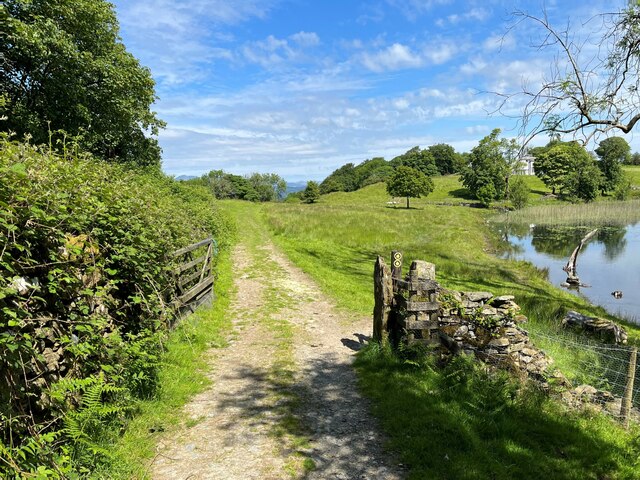
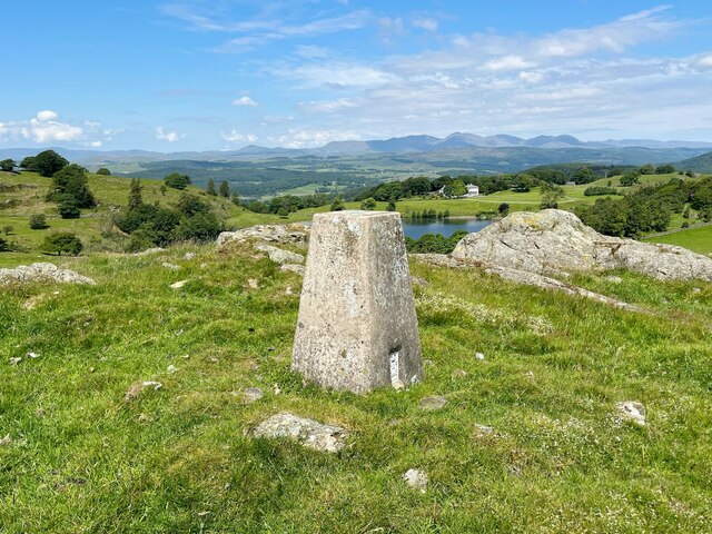
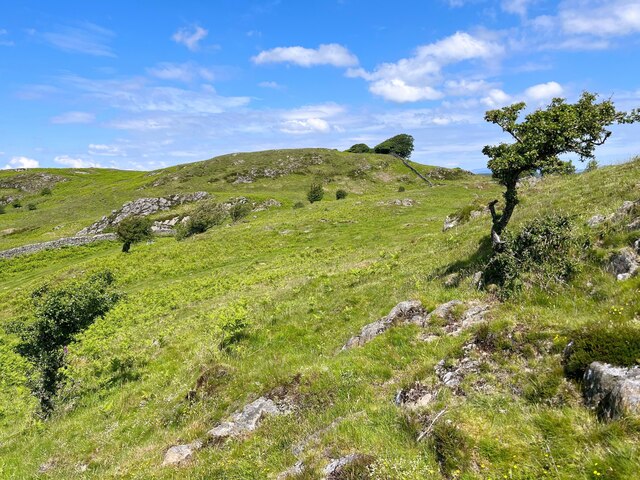
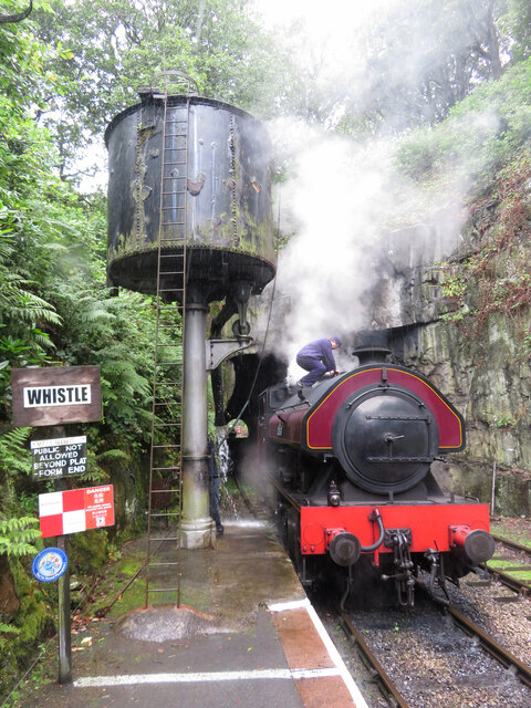
Birk Dault Wood Images
Images are sourced within 2km of 54.23961/-3.0013706 or Grid Reference SD3483. Thanks to Geograph Open Source API. All images are credited.


Birk Dault Wood is located at Grid Ref: SD3483 (Lat: 54.23961, Lng: -3.0013706)
Administrative County: Cumbria
District: South Lakeland
Police Authority: Cumbria
What 3 Words
///camcorder.caked.sitting. Near Flookburgh, Cumbria
Nearby Locations
Related Wikis

Haverthwaite
Haverthwaite is a small village and civil parish in the Furness region of Cumbria, England. It is also within the boundaries of the Lake District National...

Bigland Tarn
Bigland Tarn is a lake in Cumbria, England, about 3/4 mile southeast of Haverthwaite. Located at an elevation of 158 m (518 ft), the lake has an area of...

A590 road
The A590 is a trunk road in southern Cumbria, in the north-west of England. It runs north-east to south-west from M6 junction 36, through the towns of...
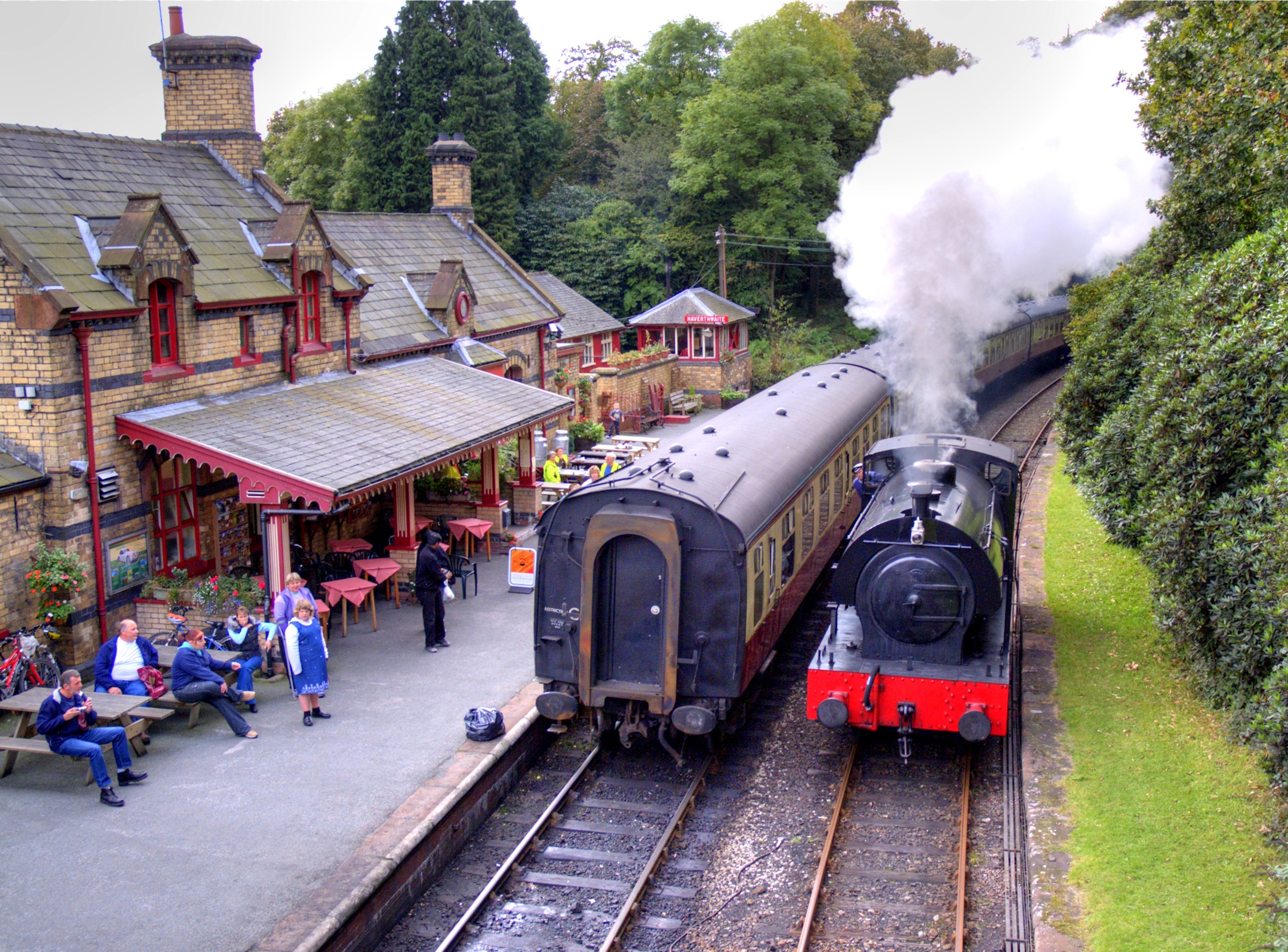
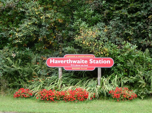
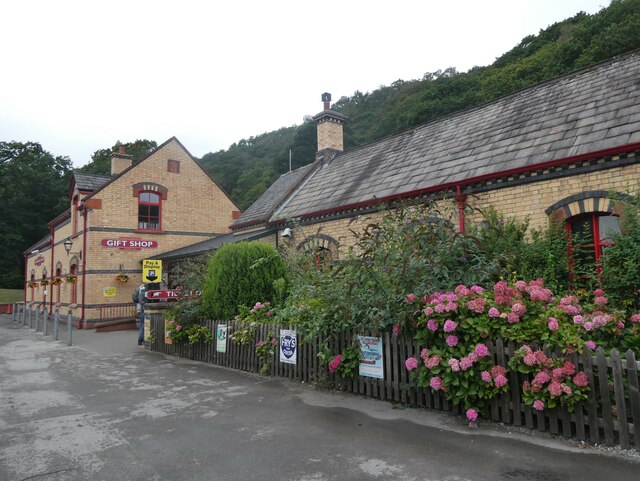
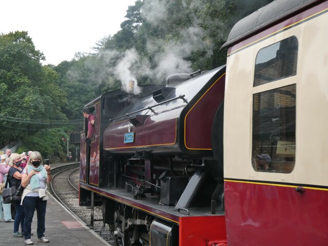
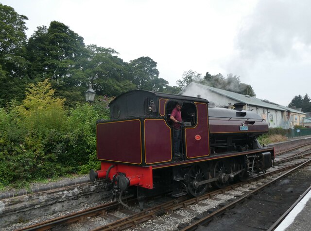
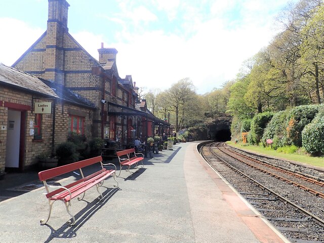
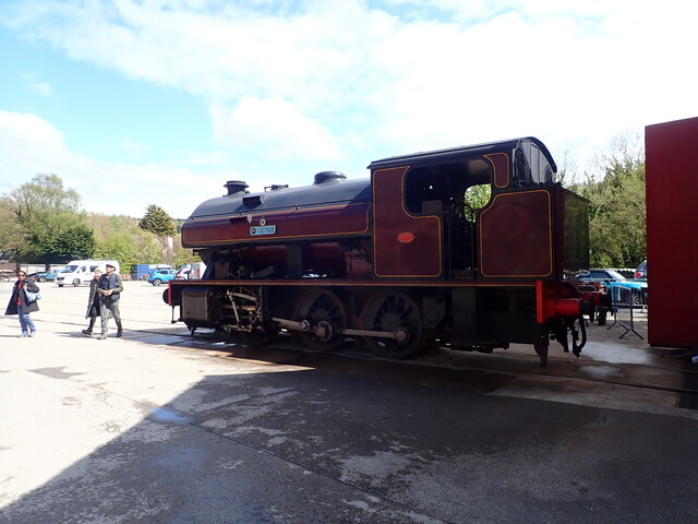
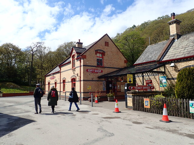
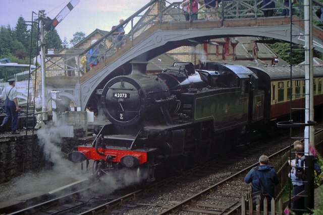
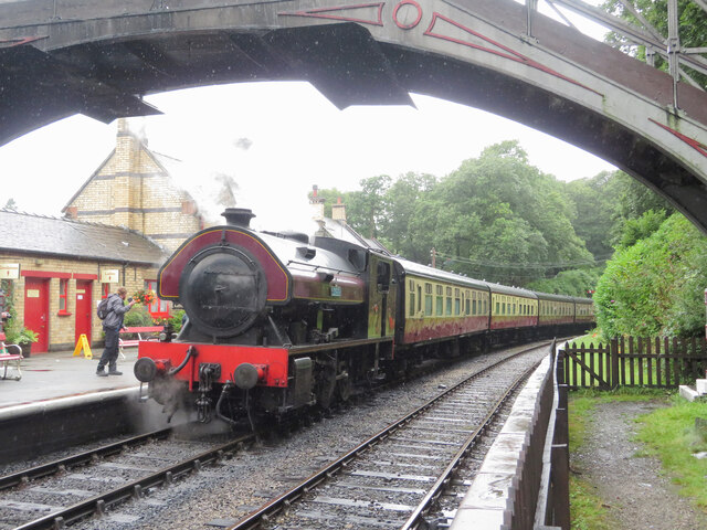
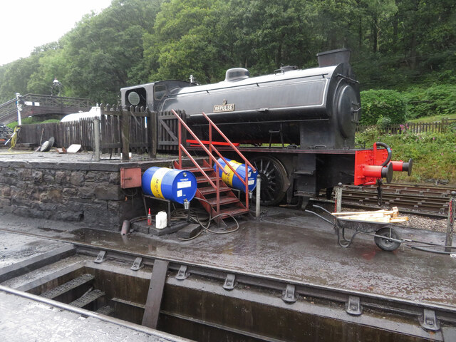
Haverthwaite railway station
Haverthwaite railway station is a railway station on the preserved Lakeside and Haverthwaite Railway in Cumbria, England. == History == The station opened...
Nearby Amenities
Located within 500m of 54.23961,-3.0013706Have you been to Birk Dault Wood?
Leave your review of Birk Dault Wood below (or comments, questions and feedback).