Castletown Wood

Wood, Forest in Cumberland Carlisle

England

Castletown Wood

Two access methods into St Mary's Church churchyard Either through the metal gates or using stone steps
Two access methods into St Mary's Church churchyard Credit: Luke Shaw

Castletown Wood, located in Cumberland, is a captivating forest that covers an area of approximately 500 acres. This woodland is an integral part of the local landscape and holds great historical and ecological significance. The forest is situated near the town of Castletown, which adds to its popularity and accessibility.

With its diverse range of flora and fauna, Castletown Wood offers a remarkable experience for nature enthusiasts and wildlife lovers. The forest is home to an array of tree species, including oak, beech, and birch, which create a rich and vibrant canopy. Beneath the trees, the forest floor is adorned with an assortment of wildflowers, ferns, and mosses, adding to the woodland's beauty.

Wandering through Castletown Wood, visitors can explore numerous walking trails that wind their way through the forest. These trails cater to all levels of fitness and offer opportunities to witness the forest's inhabitants up close. Birdwatchers can spot various species of birds, such as woodpeckers and owls, while small mammals like squirrels and rabbits can be glimpsed darting through the undergrowth.

Castletown Wood is also steeped in history, with traces of ancient settlements and archaeological remains found within its boundaries. These historical relics provide insights into the area's past and offer a glimpse into the lives of those who once inhabited the forest.

Overall, Castletown Wood is a captivating destination that combines natural beauty, biodiversity, and historical significance. Whether one seeks a tranquil stroll, a wildlife encounter, or a journey through time, this enchanting forest in Cumberland has something to offer for everyone.

If you have any feedback on the listing, please let us know in the comments section below.

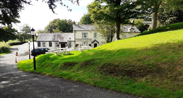
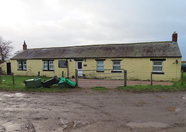
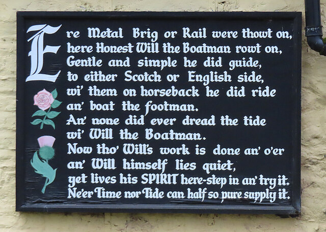
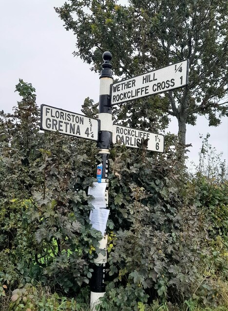
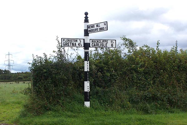
Castletown Wood Images

Images are sourced within 2km of 54.951968/-3.0213343 or Grid Reference NY3462. Thanks to Geograph Open Source API. All images are credited.

Two access methods into St Mary's Church churchyard Either through the metal gates or using stone steps
Two access methods into St Mary's Church churchyard
Either through the metal gates or using stone steps
Benchmark on tower of St Mary the Virgin Church Ordnance Survey cut mark benchmark described on the Bench Mark Database at <span class="nowrap"><a title="www.bench-marks.org.uk/bm107179" rel="nofollow ugc noopener" href="http://www.bench-marks.org.uk/bm107179">Link</a><img style="margin-left:2px;" alt="External link" title="External link - shift click to open in new window" src="https://s1.geograph.org.uk/img/external.png" width="10" height="10"/></span>
Benchmark on tower of St Mary the Virgin Church
Ordnance Survey cut mark benchmark described on the Bench Mark Database at LinkExternal link
Church of St Mary the Virgin There is an Ordnance Survey benchmark <a href="https://www.geograph.org.uk/photo/6938116">NY3561 : Benchmark on tower of St Mary the Virgin Church</a> at the base of the tower on its east face. The spire is an Ordnance Survey intersected station trig point, <span class="nowrap"><a title="http://trigpointing.uk/trig/11100" rel="nofollow ugc noopener" href="http://trigpointing.uk/trig/11100">Link</a><img style="margin-left:2px;" alt="External link" title="External link - shift click to open in new window" src="https://s1.geograph.org.uk/img/external.png" width="10" height="10"/></span>
Church of St Mary the Virgin
There is an Ordnance Survey benchmark NY3561 : Benchmark on tower of St Mary the Virgin Church at the base of the tower on its east face. The spire is an Ordnance Survey intersected station trig point, LinkExternal link
Crown & Thistle pub
Crown & Thistle pub
Esk Boathouse This was the home of the ferryman who took passengers across the Solway until a bridge was built across the River Esk. Notice the <a href="https://www.geograph.org.uk/photo/7379272">NY3463 : Plaque with Poem</a> on the wall left of the door.
Esk Boathouse
This was the home of the ferryman who took passengers across the Solway until a bridge was built across the River Esk. Notice the NY3463 : Plaque with Poem on the wall left of the door.
Plaque with Poem This is displayed on the outside wall of <a href="https://www.geograph.org.uk/photo/7379270">NY3463 : Esk Boathouse</a>.
Plaque with Poem
This is displayed on the outside wall of NY3463 : Esk Boathouse.
Direction Sign - Signpost east of Wether Hill in Rockliffe parish Located on the east side of the junction east of Wether Hill in Rockcliffe parish. 3 arms and pawn finial. See also <span class="nowrap"><a title="http://www.geog.port.ac.uk/webmap/thelakes/photos/boa81.jpg" rel="nofollow ugc noopener" href="http://www.geog.port.ac.uk/webmap/thelakes/photos/boa81.jpg">Link</a><img style="margin-left:2px;" alt="External link" title="External link - shift click to open in new window" src="https://s1.geograph.org.uk/img/external.png" width="10" height="10"/></span> and <a title="https://www.geograph.org.uk/photo/5432653" href="https://www.geograph.org.uk/photo/5432653">Link</a>.

Milestone Society National ID: CU_NY3563
Direction Sign - Signpost east of Wether Hill in Rockliffe parish
Located on the east side of the junction east of Wether Hill in Rockcliffe parish. 3 arms and pawn finial. See also LinkExternal link and Link. Milestone Society National ID: CU_NY3563
Direction Sign – Signpost at Castletown House Located on the northwest side of the junction at Castletown House. Rockcliffe parish. 3 arms and annulus finial. See also <span class="nowrap"><a title="http://www.geog.port.ac.uk/webmap/thelakes/photos/bwt71.jpg" rel="nofollow ugc noopener" href="http://www.geog.port.ac.uk/webmap/thelakes/photos/bwt71.jpg">Link</a><img style="margin-left:2px;" alt="External link" title="External link - shift click to open in new window" src="https://s1.geograph.org.uk/img/external.png" width="10" height="10"/></span> and <a title="https://www.geograph.org.uk/photo/5432648" href="https://www.geograph.org.uk/photo/5432648">Link</a>.

Milestone Society National ID: CU_NY3562
Direction Sign – Signpost at Castletown House
Located on the northwest side of the junction at Castletown House. Rockcliffe parish. 3 arms and annulus finial. See also LinkExternal link and Link. Milestone Society National ID: CU_NY3562
Direction Sign – Signpost in Rockcliffe village Located on the east side of a junction in the northeast of the village. Rockcliffe parish. 3 arms and annulus finial. See also <span class="nowrap"><a title="http://www.geog.port.ac.uk/webmap/thelakes/photos/bwt67.jpg" rel="nofollow ugc noopener" href="http://www.geog.port.ac.uk/webmap/thelakes/photos/bwt67.jpg">Link</a><img style="margin-left:2px;" alt="External link" title="External link - shift click to open in new window" src="https://s1.geograph.org.uk/img/external.png" width="10" height="10"/></span>.

Milestone Society National ID: CU_NY3661B
Direction Sign – Signpost in Rockcliffe village
Located on the east side of a junction in the northeast of the village. Rockcliffe parish. 3 arms and annulus finial. See also LinkExternal link. Milestone Society National ID: CU_NY3661B
River Eden Rockcliffe Church can be seen in the distance.
River Eden
Rockcliffe Church can be seen in the distance.
Reservoir at Desmene A curious feature on this saltmarsh. The gridline 62 runs through the centre of the farmhouse.
Reservoir at Desmene
A curious feature on this saltmarsh. The gridline 62 runs through the centre of the farmhouse.
Sandbank in River Eden This feature is stable enough to appear on OS maps.
Sandbank in River Eden
This feature is stable enough to appear on OS maps.
Turned Driftwood Seat by River Eden This huge log has had cut-outs made to create seats; unfortunately high water lifted it and the log turned!
Turned Driftwood Seat by River Eden
This huge log has had cut-outs made to create seats; unfortunately high water lifted it and the log turned!
Rockcliffe Marsh A nature reserve, with access for permit holders only. In the far distance is Chapelcross nuclear power station.
Rockcliffe Marsh
A nature reserve, with access for permit holders only. In the far distance is Chapelcross nuclear power station.
Rockcliffe Marsh Embankment This sea defence is lined, seaward, with both natural and human detritus, dumped by high tides. This is the high point of the Solway Estuary, and acts like a funnel. The prevailing westerly winds drive the rubbish as far as Rockcliffe.
Rockcliffe Marsh Embankment
This sea defence is lined, seaward, with both natural and human detritus, dumped by high tides. This is the high point of the Solway Estuary, and acts like a funnel. The prevailing westerly winds drive the rubbish as far as Rockcliffe.
Trails Meadow Its title does not live up to its appearance!
Trails Meadow
Its title does not live up to its appearance!
Rockcliffe Church
Rockcliffe Church
Inlet Channel, River Eden
Show me another place!

Castletown Wood is located at Grid Ref: NY3462 (Lat: 54.951968, Lng: -3.0213343)

Administrative County: Cumbria

District: Carlisle

Police Authority: Cumbria

What 3 Words

///exporters.likes.wedge. Near Gretna, Dumfries & Galloway

Related Wikis

Rockcliffe Cross

Rockcliffe Cross is a village in the parish of Rockcliffe, in the City of Carlisle district of the county of Cumbria, England. == Location == It is located...

Rockcliffe, Cumbria

Rockcliffe is a village and civil parish in the City of Carlisle district of Cumbria, England. Part of the parish is a marshy peninsula between the mouths...

Floriston railway station

Floriston railway station was a station which served the rural area around Floristonrigg, Rockcliffe Parish, south of Gretna in the English county of Cumberland...

Todhills, Cumbria

Todhills is a small village on the outskirts of Carlisle, Cumbria, England. The village's name is from Old English tota-hyll "look-out hill". Located north...

Nearby Amenities

Located within 500m of 54.951968,-3.0213343
Created By: Merkaartor 0.12
Lat/Long: 54.9548131/-3.0232035
Created By: Merkaartor 0.12
Lat/Long: 54.954565/-3.0227679
Created By: Merkaartor 0.12
Lat/Long: 54.9535316/-3.0209719
Created By: Merkaartor 0.12
Lat/Long: 54.9524534/-3.0192553
Created By: Merkaartor 0.12
Lat/Long: 54.9514923/-3.0176889
Post Box
Post Box Design: hovis
Post Box Mounting: signpost
Post Box Type: lamp
Ref: CA6 104
Royal Cypher: EVIIR
Royal Cypher Wikidata: Q33102324
Source: survey
Lat/Long: 54.9502108/-3.0150925
Created By: Merkaartor 0.12
Lat/Long: 54.9494369/-3.025973
Created By: Merkaartor 0.12
Lat/Long: 54.9499669/-3.0262649
Created By: Merkaartor 0.12
Lat/Long: 54.9509439/-3.0242442
Created By: Merkaartor 0.12
Lat/Long: 54.951469/-3.024287
The data included in this document is from www.openstreetmap.org. The data is made available under ODbL.

Have you been to Castletown Wood?

Leave your review of Castletown Wood below (or comments, questions and feedback).