Blind Lane Wood
Wood, Forest in Lancashire South Lakeland
England
Blind Lane Wood
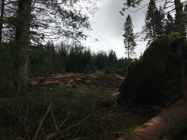
Blind Lane Wood is a serene and enchanting woodland located in the county of Lancashire, England. Spanning approximately 20 acres, this ancient forest is a hidden gem nestled between the picturesque villages of Great Eccleston and Elswick.
The woodland is named after the narrow and winding Blind Lane that leads visitors to its enchanting depths. As one ventures deeper into the woods, they are greeted by a captivating display of flora and fauna. The forest boasts a diverse range of tree species, including towering oak, ash, and beech trees, which create a dense canopy, casting dappled sunlight onto the forest floor.
Blind Lane Wood is renowned for its rich biodiversity. Visitors can expect to encounter various wildlife species, such as red squirrels, roe deer, and an array of birdlife, including the elusive tawny owl. The woodland floor is adorned with an abundance of wildflowers, including bluebells, primroses, and wood anemones, creating a vibrant tapestry of colors during the spring months.
The forest offers several walking trails that meander through its labyrinthine paths, providing visitors with a tranquil and meditative experience. Nature enthusiasts can also find secluded spots to enjoy a picnic or simply sit and soak up the peaceful ambiance.
Blind Lane Wood is managed by the Lancashire Wildlife Trust, which ensures the preservation and conservation of this cherished woodland. With its natural beauty and tranquil atmosphere, Blind Lane Wood is a true haven for nature lovers and a valuable asset to the Lancashire countryside.
If you have any feedback on the listing, please let us know in the comments section below.
Blind Lane Wood Images
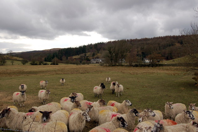
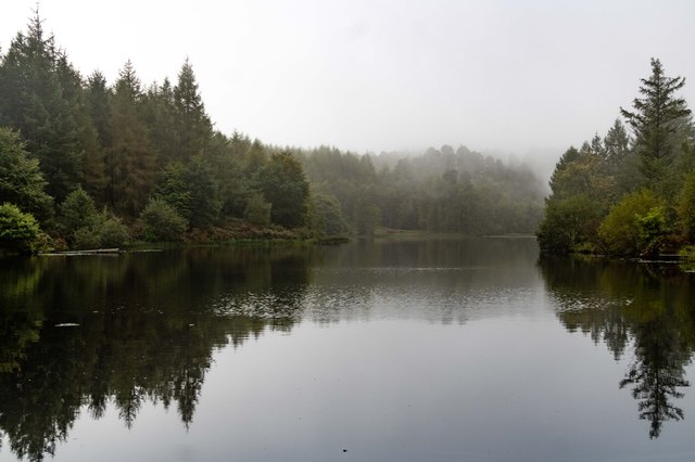
Images are sourced within 2km of 54.316501/-3.0066347 or Grid Reference SD3491. Thanks to Geograph Open Source API. All images are credited.


Blind Lane Wood is located at Grid Ref: SD3491 (Lat: 54.316501, Lng: -3.0066347)
Administrative County: Cumbria
District: South Lakeland
Police Authority: Cumbria
What 3 Words
///financial.unpainted.prompt. Near Windermere, Cumbria
Related Wikis

Satterthwaite & Rusland School
Satterthwaite & Rusland School was a Church of England Primary school near Force Forge in the Rusland Valley. The school was established in 1840 for children...

Satterthwaite
Satterthwaite is a small village (and civil parish) with around 50 dwellings situated in Grizedale, a valley in the Lake District, England, about four...

Crosslands
Crosslands is a hamlet in the South Lakeland district of Cumbria, England. It is located just to the northeast of Rusland in the civil parish of Colton...
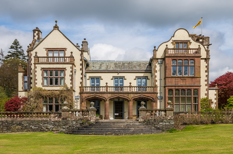
Graythwaite Hall
Graythwaite Hall, in Ulverston, Cumbria in the Lake District of England is the home of the Sandys family. One of the more famous members of the family...

Grizedale Hall
Grizedale Hall was a large country house at Grizedale, Hawkshead, in the Lake District in Cumbria, England. After two earlier Grizedale Halls had preceded...
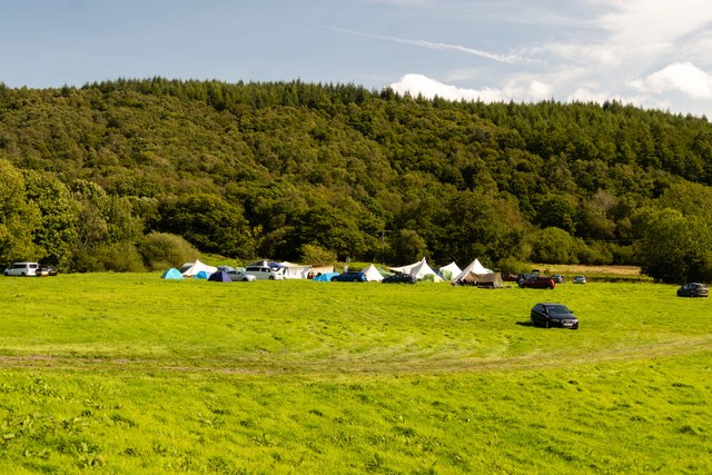
Grizedale Forest
Grizedale Forest is a 24.47 km2 area of woodland in the Lake District of North West England, located to the east of Coniston Water and to the south of...
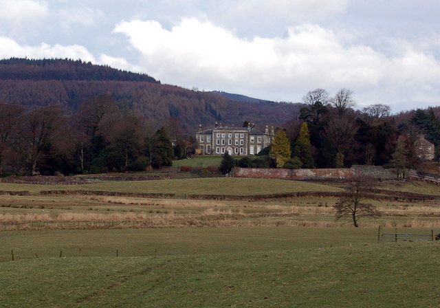
Rusland Hall
Rusland Hall is a country house in the English Lake District. The present building dates from about 1720. The Hall was owned by the Rawlinson family in...

Rusland, Cumbria
Rusland is a village in the South Lakeland district of Cumbria, England. It is located just to the southwest of Crosslands in the civil parish of Colton...
Nearby Amenities
Located within 500m of 54.316501,-3.0066347Have you been to Blind Lane Wood?
Leave your review of Blind Lane Wood below (or comments, questions and feedback).