Coaley
Settlement in Gloucestershire Stroud
England
Coaley
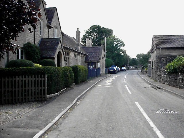
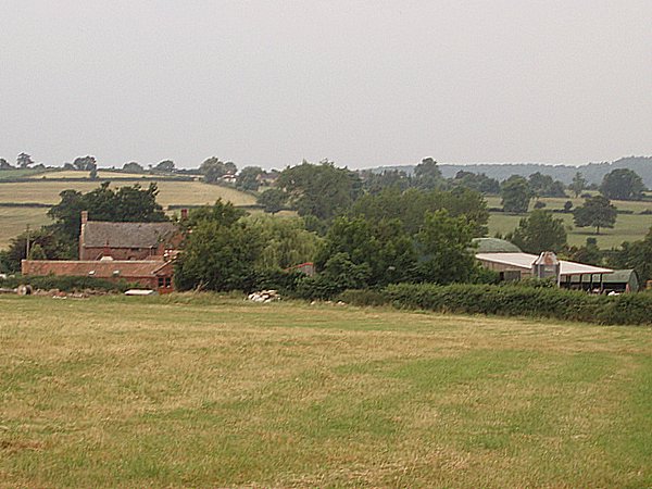
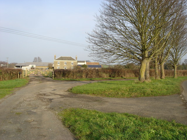
Coaley is a small village located in the county of Gloucestershire, England. Situated in the Cotswold Hills, it lies approximately five miles southwest of the town of Dursley. The village is surrounded by picturesque countryside, offering stunning views and a tranquil atmosphere.
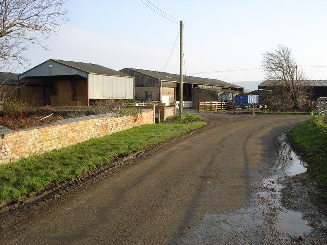
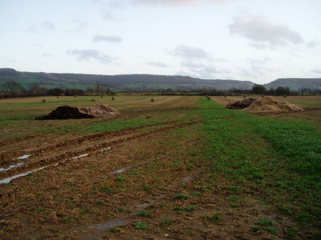
Coaley is known for its rich history, with evidence of human habitation dating back to the Iron Age. The village itself has a population of around 700 residents, and it maintains a close-knit community feel. The local economy primarily relies on agriculture and small businesses, with farming being a significant industry in the area.
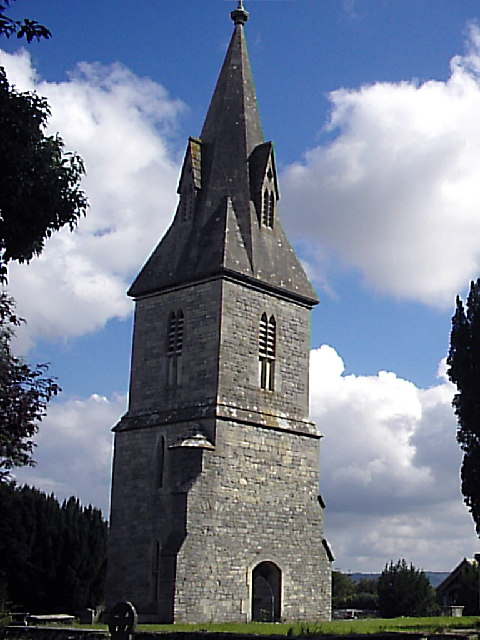
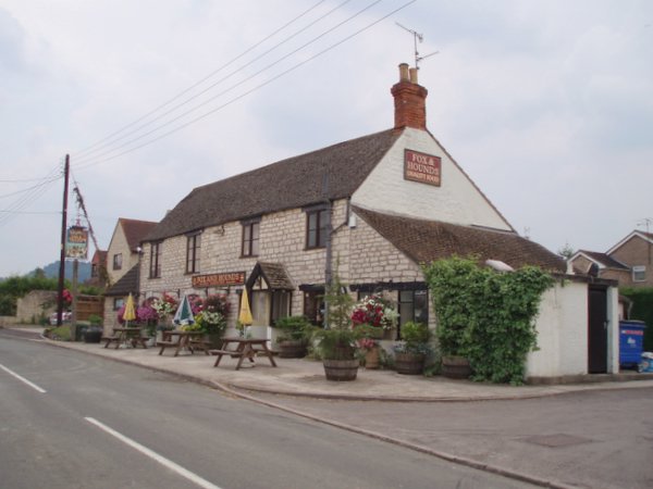
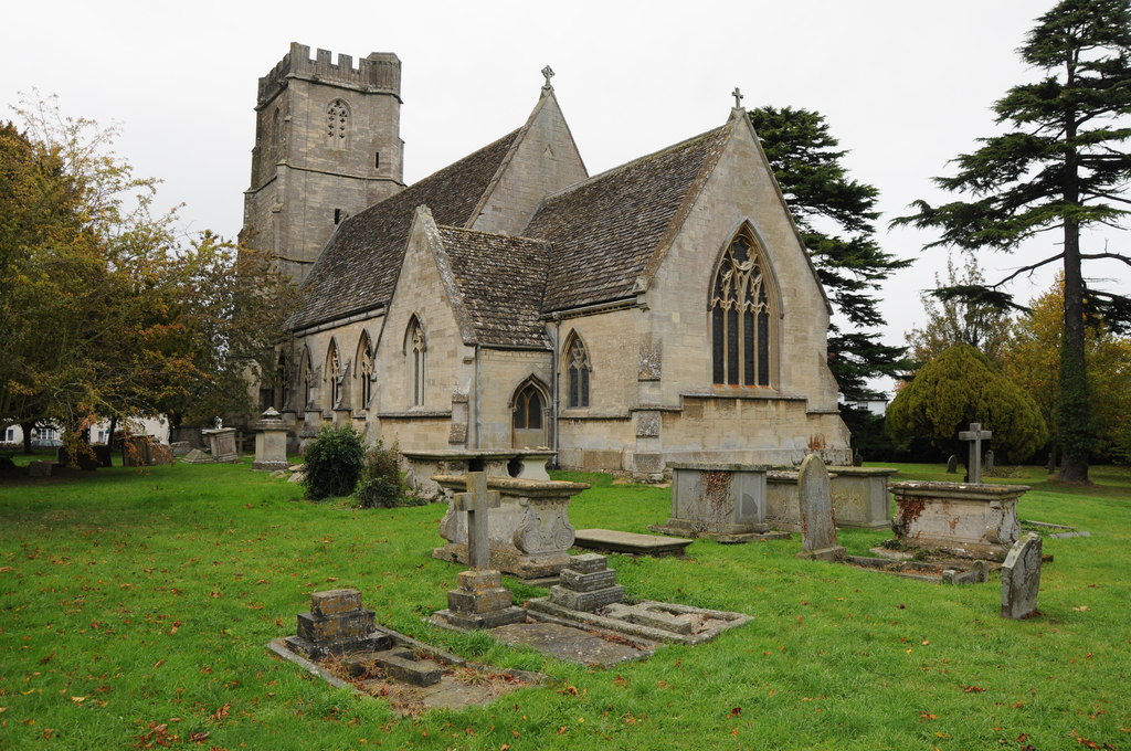
The village features a charming Norman church, St. Bartholomew's, which dates back to the 12th century. This historic landmark attracts visitors with its impressive architecture and beautiful stained glass windows. Coaley also boasts a village hall, a primary school, and a pub that serves as a popular gathering place for locals and visitors alike.
Nature enthusiasts can enjoy exploring the surrounding countryside, with plenty of walking routes and trails available. The nearby Cotswold Way offers breathtaking views of the rolling hills and is a favorite among hikers and nature lovers.
Overall, Coaley offers a peaceful and idyllic setting, making it an attractive place for those seeking a quieter lifestyle away from the hustle and bustle of larger towns and cities.
If you have any feedback on the listing, please let us know in the comments section below.
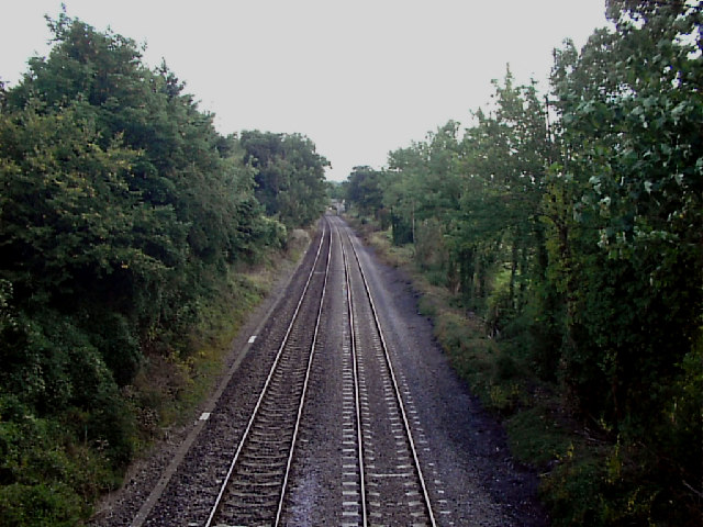
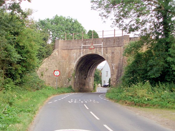
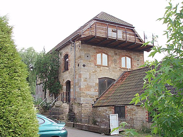
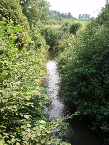
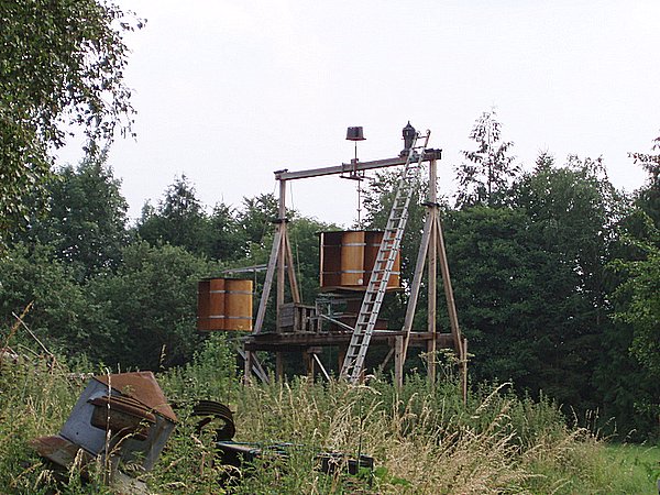
Coaley Images
Images are sourced within 2km of 51.715591/-2.335901 or Grid Reference SO7601. Thanks to Geograph Open Source API. All images are credited.


Coaley is located at Grid Ref: SO7601 (Lat: 51.715591, Lng: -2.335901)
Administrative County: Gloucestershire
District: Stroud
Police Authority: Gloucestershire
What 3 Words
///prowling.reputable.oaks. Near Eastington, Gloucestershire
Nearby Locations
Related Wikis
Coaley
Coaley is a village in the English county of Gloucestershire roughly 4 miles from the town of Dursley, and 5 miles from the town of Stroud. The village...

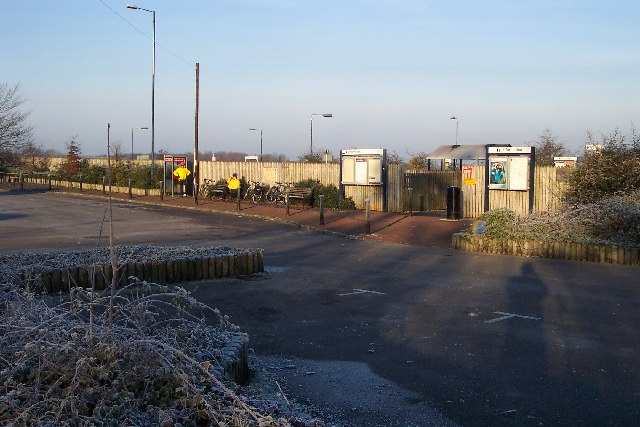
Cam and Dursley railway station
Cam and Dursley railway station is a railway station serving the large village of Cam and the market town of Dursley in Gloucestershire, England. It is...

Frocester railway station
Frocester railway station served the village of Frocester in Gloucestershire, England. The station was on the Bristol and Gloucester Railway, originally...

Frocester
Frocester ( FROS-tər) is a village and civil parish in Stroud District, Gloucestershire, England. It lies below the Cotswold escarpment, 10 miles south...

Cam railway station
Cam railway station served the village of Cam in Gloucestershire, England. The station was on the short Dursley and Midland Junction Railway line which...

Slimbridge A.F.C.
Slimbridge Association Football Club is an English football club representing the village of Slimbridge, near Dursley, Gloucestershire (although its ground...

Cam, Gloucestershire
Cam is a large village and civil parish in Gloucestershire, England, situated on the edge of the Cotswolds and contiguous with the town of Dursley, north...

Coaley Peak
Coaley Peak is a picnic site and viewpoint in the English county of Gloucestershire. Located about 4 miles (6.4 km) south-west of the town of Stroud overlooking...
Nearby Amenities
Located within 500m of 51.715591,-2.335901Have you been to Coaley?
Leave your review of Coaley below (or comments, questions and feedback).