Stubb's Coppice
Wood, Forest in Dorset
England
Stubb's Coppice

Stubb's Coppice is a picturesque woodland located in the county of Dorset, England. Situated in the heart of the Cranborne Chase and West Wiltshire Downs Area of Outstanding Natural Beauty (AONB), it covers an area of approximately 100 acres. The coppice is named after the Stubb family, who were the original owners of the land.
The woodland is predominantly composed of oak and beech trees, which provide a dense canopy, creating a tranquil and shaded environment. The forest floor is covered in a lush carpet of moss, ferns, and wildflowers, adding to its natural charm. Stubb's Coppice is known for its rich biodiversity and is home to a variety of wildlife, including deer, squirrels, and a wide range of bird species.
The coppice has a network of well-maintained footpaths and trails, allowing visitors to explore its beauty on foot. There are also designated picnic areas for visitors to enjoy a leisurely lunch amidst the peaceful surroundings. Additionally, the woodland is a popular spot for nature enthusiasts, photographers, and artists, who are drawn to its scenic beauty and tranquility.
Stubb's Coppice offers a true escape from the hustle and bustle of everyday life, providing a sanctuary for both wildlife and humans alike. It is a cherished natural resource within Dorset, attracting visitors from near and far who come to immerse themselves in its tranquil ambiance and enjoy the wonders of nature.
If you have any feedback on the listing, please let us know in the comments section below.
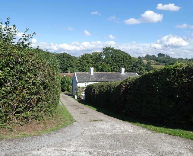
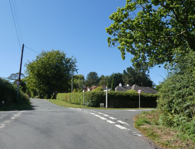
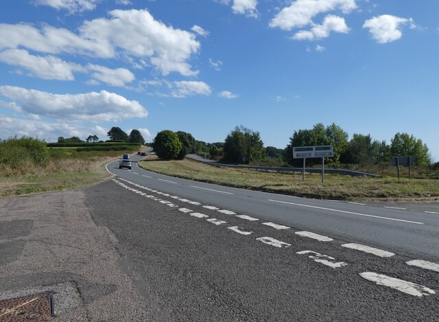
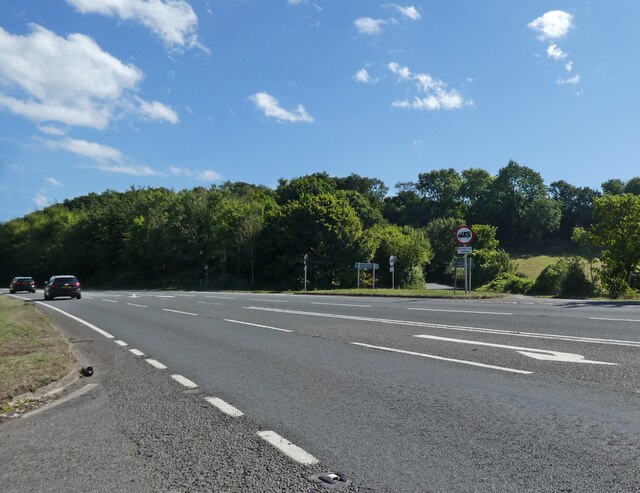
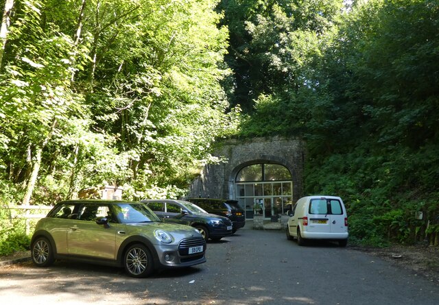
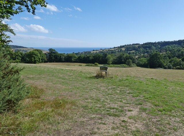
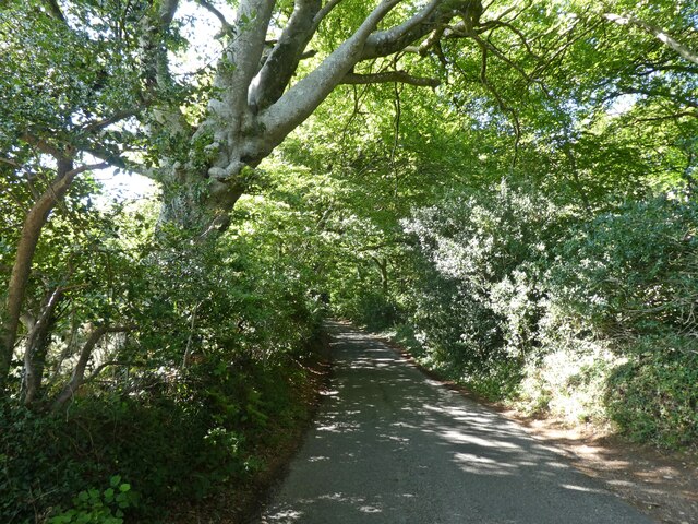
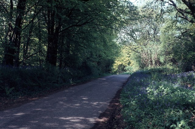
Stubb's Coppice Images
Images are sourced within 2km of 50.761419/-2.9310232 or Grid Reference SY3496. Thanks to Geograph Open Source API. All images are credited.


Stubb's Coppice is located at Grid Ref: SY3496 (Lat: 50.761419, Lng: -2.9310232)
Unitary Authority: Dorset
Police Authority: Dorset
What 3 Words
///patrolled.corporate.dove. Near Charmouth, Dorset
Nearby Locations
Related Wikis
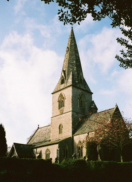
St Andrew's Church, Monkton Wyld
St Andrew's Church is a Church of England church in Monkton Wyld, Dorset, England. It was built in 1848–49 to the designs of Richard Cromwell Carpenter...

Raymond's Hill
Raymond's Hill is a village and residential area off the A35 road in Devon, England, right on the border with the county of Dorset. It is about 2 miles...

Wootton Fitzpaine
Wootton Fitzpaine is a village and civil parish in the county of Dorset in South West England. It lies approximately 3 miles (4.8 km) north-east of Lyme...

Coney's Castle
Coney's Castle is an Iron Age hillfort in Dorset, England. The name Coney is from the Old English for rabbit (Latin cuniculus), suggesting medieval use...

Catherston Leweston
Catherston Leweston is a small village and civil parish in the county of Dorset in southwest England. It lies approximately 2 miles (3.2 km) northeast...

St John's Church, Fishpond Bottom
St John's Church is a Church of England church in Fishpond Bottom, Dorset, England. It was built in 1852 and has been a Grade II listed building since...

St Mary's Church, Catherston Leweston
St Mary's Church is a Church of England parish church in Catherston Leweston, Dorset, England. It was designed by John Loughborough Pearson and built in...
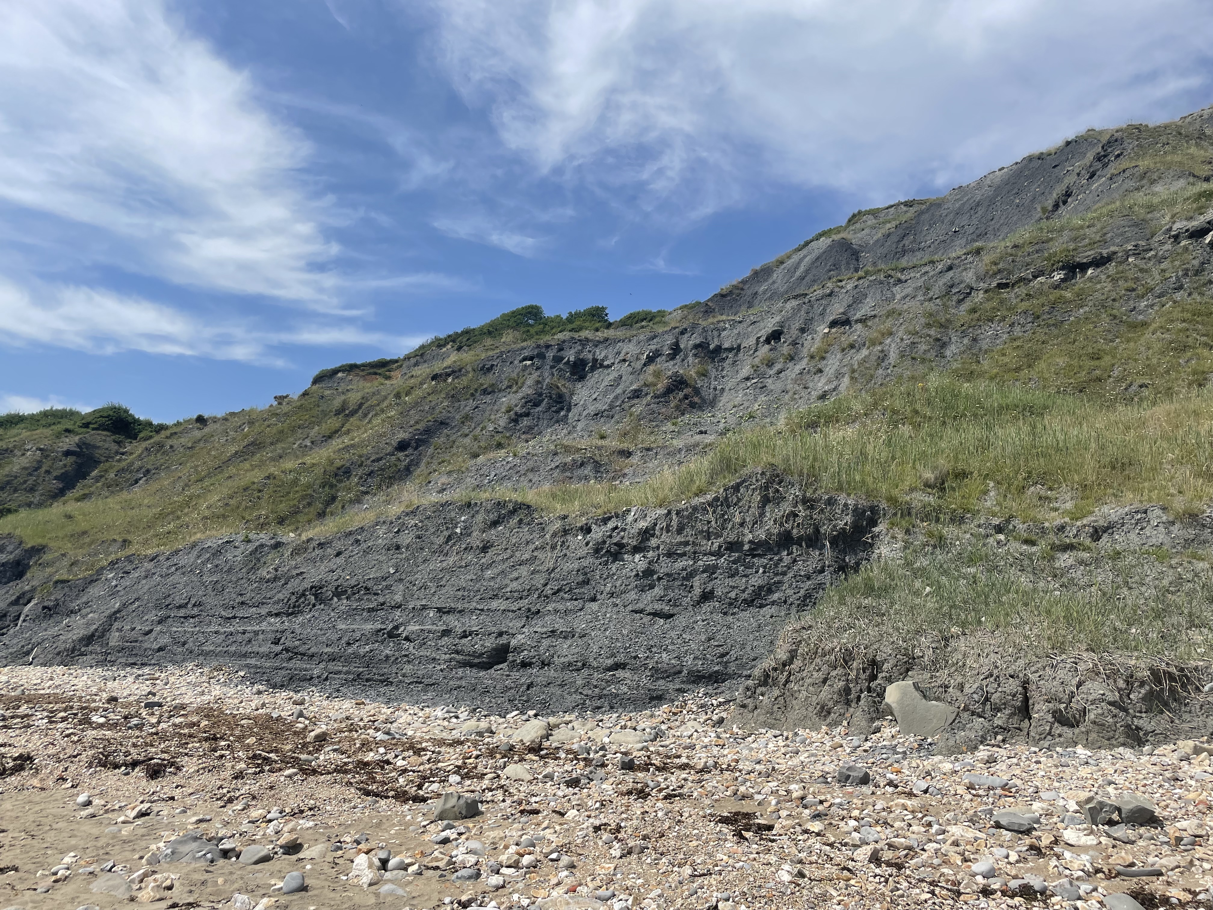
Black Ven
Black Ven is a cliff in Dorset, England between the towns of Charmouth and Lyme Regis. The cliffs reach a height of 130 metres (430 ft). It is part of...
Nearby Amenities
Located within 500m of 50.761419,-2.9310232Have you been to Stubb's Coppice?
Leave your review of Stubb's Coppice below (or comments, questions and feedback).