Coalbrookvale

Settlement in Monmouthshire

Wales

Coalbrookvale

Entrance to Nantyglo
Entrance to Nantyglo Credit: Alan Hughes

Coalbrookvale is a historic village situated in the county of Monmouthshire, Wales. Nestled in the picturesque landscape of the South Wales Valleys, it lies approximately 3 miles northwest of the town of Blaenavon. The village owes its name to the prominent coal mining industry that thrived in the area during the 19th century.

Coalbrookvale played a significant role in the industrial revolution, with several collieries operating in the vicinity. The abundance of coal reserves led to the village's rapid growth and attracted many workers from nearby towns and villages. The coal extracted from these mines was vital for powering the ironworks and steelworks in the region.

Today, the once-thriving mining community has transformed into a peaceful residential area. Many of the original colliery buildings have been repurposed or demolished, making way for modern housing developments. The village still retains glimpses of its industrial past, with remnants of old mine workings present throughout the area.

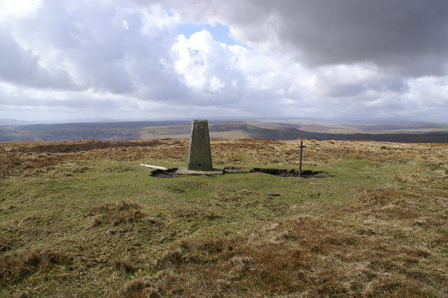
Coalbrookvale offers its residents a tranquil and close-knit community atmosphere. Surrounded by lush green hills and valleys, it provides ample opportunities for outdoor activities such as walking, cycling, and exploring the nearby Blaenavon Industrial Landscape, a UNESCO World Heritage site.

The village is well-connected to neighboring towns and cities through a network of roads and public transportation. It also benefits from the amenities and services available in Blaenavon, including schools, shops, and healthcare facilities.

Coalbrookvale's rich history, natural beauty, and convenient location make it an attractive place for both residents and visitors seeking a peaceful retreat in the heart of Monmouthshire.

If you have any feedback on the listing, please let us know in the comments section below.

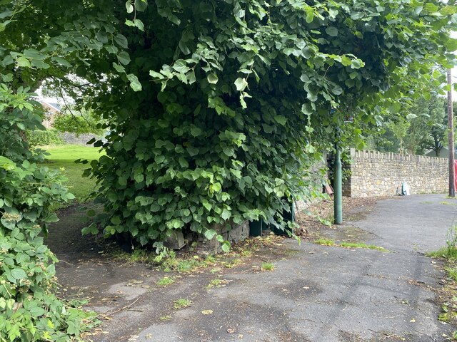
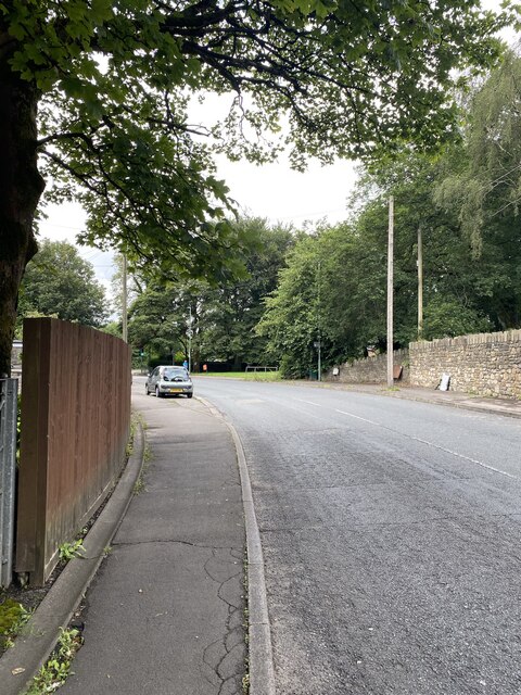
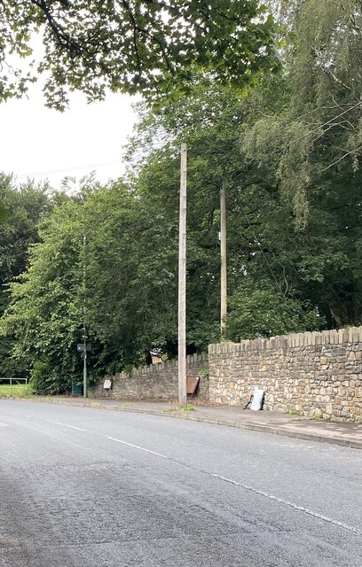
Coalbrookvale Images

Images are sourced within 2km of 51.777574/-3.170287 or Grid Reference SO1909. Thanks to Geograph Open Source API. All images are credited.

Entrance to Nantyglo
Pathway to St Peter’s Church
Station Road, Blaenau
Stone wall boundary to St Peter’s Church
Ordnance Survey Cut Mark This OS cut mark can be found on the garage east side of the road. It marks a point 284.516m above mean sea level.
Ordnance Survey Cut Mark
This OS cut mark can be found on the garage east side of the road. It marks a point 284.516m above mean sea level.
Ordnance Survey Cut Mark This OS cut mark can be found on No11 Surgery Road. It marks a point 327.748m above mean sea level.
Ordnance Survey Cut Mark
This OS cut mark can be found on No11 Surgery Road. It marks a point 327.748m above mean sea level.
Ordnance Survey Rivet This OS rivet can be found on the old Public House on Queen Street. It marks a point 353.684m above mean sea level.
Ordnance Survey Rivet
This OS rivet can be found on the old Public House on Queen Street. It marks a point 353.684m above mean sea level.
Petrol station
Petrol station
Nantyglo Wesley Methodist Church
Roadworks in Nantyglo Maintenance work in progress outside the Wesleyan Methodist Church, Nantyglo.
Roadworks in Nantyglo
Maintenance work in progress outside the Wesleyan Methodist Church, Nantyglo.
Ordnance Survey Cut Mark This OS cut mark can be found on the damaged gatepost SW side of the road. It marks a point 348.188m above mean sea level.
Ordnance Survey Cut Mark
This OS cut mark can be found on the damaged gatepost SW side of the road. It marks a point 348.188m above mean sea level.
Lakeside, Brynmawr
Lakeside, Brynmawr
Lakeside, Brynmawr
Lakeside, Brynmawr
Lakeside, Brynmawr
Lakeside, Brynmawr
Barley Fields Industrial Estate, Brynmawr
The start of the bridleway with old spoil heaps beyond
Sheep graze on the side of an old spoil heap
West Monmouth Golf Course club house "The highest Golf Course in the UK".
West Monmouth Golf Course club house
"The highest Golf Course in the UK".
Show me another place!

Coalbrookvale is located at Grid Ref: SO1909 (Lat: 51.777574, Lng: -3.170287)

Unitary Authority: Blaenau Gwent

Police Authority: Gwent

What 3 Words

///frock.bench.woven. Near Ebbw Vale, Blaenau Gwent

Related Wikis

Coalbrookvale

Coalbrookvale (Welsh: Glyn Nant-y-glo) is a village in the Ebbw Valley in Blaenau Gwent. It belongs in the community of Nantyglo and Blaina.It is located...

Nantyglo railway station

Nantyglo railway station was a station which served Nantyglo, in the Welsh county of Monmouthshire. == History == Among the lines built by the Monmouthshire...

Blaina & District Hospital

Blaina and District Hospital (Welsh: Ysbyty Blaina a'r Cylch) was a community hospital in Blaina, Blaenau Gwent, Wales. It was managed by the Aneurin Bevan...

Nantyglo

Nantyglo (from Welsh Nant-y-glo 'brook of coal') is a village in the ancient parish of Aberystruth and county of Monmouth situated deep within the South...

Nantyglo Round Towers

Nantyglo Round Towers are located at Roundhouse Farm, Nantyglo, near Brynmawr in the borough of Blaenau Gwent in the South Wales Valleys. The two fortified...

Mynydd Carn-y-cefn

Mynydd Carn-y-cefn (grid reference SO1808) is the name given to the broad ridge of high ground between the Ebbw Vale and the valley of the Ebbw Fach in...

Blaina

Blaina ( BLEYE-nə Welsh: Blaenau Welsh pronunciation: [ˈbleɨnaɨ]) is a small town, situated deep within the South Wales Valleys between Brynmawr and Abertillery...

Blaina railway station

Blaina railway station was a station which served the small town of Blaina in the Welsh county of Monmouthshire. == History == Among the lines built by...

Nearby Amenities

Located within 500m of 51.777574,-3.170287
Nantyglo
Historic Railway: station
Railway: site
Wikidata: Q18619277
Lat/Long: 51.7817933/-3.171764
Coalbrookvale
Is In Historic County: Monmouthshire
Place: hamlet
Wikidata: Q70568087
Lat/Long: 51.7782025/-3.1715143
Place Of Worship
Bethel Chapel
Religion: christian
Source: OS_OpenData_StreetView
Wikidata: Q99452665
Lat/Long: 51.7777184/-3.1654732
Place Of Worship
Source: OS_OpenData_StreetView
Lat/Long: 51.775727/-3.1656516
Place Of Worship
Source: OS_OpenData_StreetView
Lat/Long: 51.7810101/-3.1663382
Direction: 235
Generator Method: photovoltaic
Generator Output Electricity: yes
Generator Solar Modules: 12
Generator Source: solar
Generator Type: solar_photovoltaic_panel
Location: roof
Power: generator
Lat/Long: 51.7766298/-3.1658462
Direction: 260
Generator Method: photovoltaic
Generator Output Electricity: yes
Generator Solar Modules: 8
Generator Source: solar
Generator Type: solar_photovoltaic_panel
Location: roof
Power: generator
Lat/Long: 51.7778583/-3.1655672
Direction: 260
Generator Method: photovoltaic
Generator Output Electricity: yes
Generator Solar Modules: 14
Generator Source: solar
Generator Type: solar_photovoltaic_panel
Location: roof
Power: generator
Lat/Long: 51.7777976/-3.1655497
Direction: WSW
Generator Method: photovoltaic
Generator Output Electricity: yes
Generator Solar Modules: 16
Generator Source: solar
Generator Type: solar_photovoltaic_panel
Location: roof
Power: generator
Lat/Long: 51.777923/-3.1642516
Direction: 80
Generator Method: photovoltaic
Generator Output Electricity: yes
Generator Solar Modules: 4
Generator Source: solar
Generator Type: solar_photovoltaic_panel
Location: roof
Power: generator
Lat/Long: 51.7784113/-3.1656778
Direction: 260
Generator Method: photovoltaic
Generator Output Electricity: yes
Generator Solar Modules: 8
Generator Source: solar
Generator Type: solar_photovoltaic_panel
Location: roof
Power: generator
Lat/Long: 51.7784042/-3.1657322
Direction: ENE
Generator Method: photovoltaic
Generator Output Electricity: yes
Generator Solar Modules: 16
Generator Source: solar
Generator Type: solar_photovoltaic_panel
Location: roof
Power: generator
Lat/Long: 51.778627/-3.1650027
Trevor Rowland memorial
Historic: memorial
Memorial: stone
Lat/Long: 51.7819735/-3.1717484
Direction: 80
Generator Method: photovoltaic
Generator Output Electricity: yes
Generator Solar Modules: 4
Generator Source: solar
Generator Type: solar_photovoltaic_panel
Location: roof
Power: generator
Lat/Long: 51.7784134/-3.165649
Direction: 260
Generator Method: photovoltaic
Generator Output Electricity: yes
Generator Solar Modules: 14
Generator Source: solar
Generator Type: solar_photovoltaic_panel
Location: roof
Power: generator
Lat/Long: 51.778734/-3.165637
Direction: 170
Generator Method: photovoltaic
Generator Output Electricity: yes
Generator Solar Modules: 6
Generator Source: solar
Generator Type: solar_photovoltaic_panel
Location: roof
Power: generator
Lat/Long: 51.7785515/-3.1656477
Direction: 260
Generator Method: photovoltaic
Generator Output Electricity: yes
Generator Solar Modules: 8
Generator Source: solar
Generator Type: solar_photovoltaic_panel
Location: roof
Power: generator
Lat/Long: 51.7785465/-3.1657818
The data included in this document is from www.openstreetmap.org. The data is made available under ODbL.

Have you been to Coalbrookvale?

Leave your review of Coalbrookvale below (or comments, questions and feedback).