Back Shaw Wood
Wood, Forest in Lancashire South Lakeland
England
Back Shaw Wood
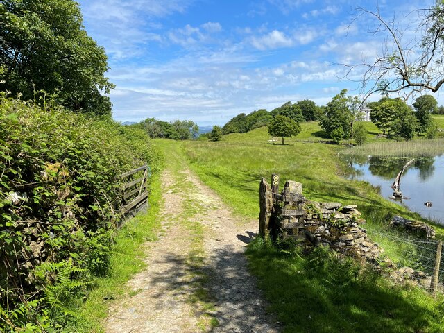
Back Shaw Wood is a picturesque woodland located in Lancashire, England. Covering an area of approximately 50 acres, it is a popular destination for nature lovers and outdoor enthusiasts.
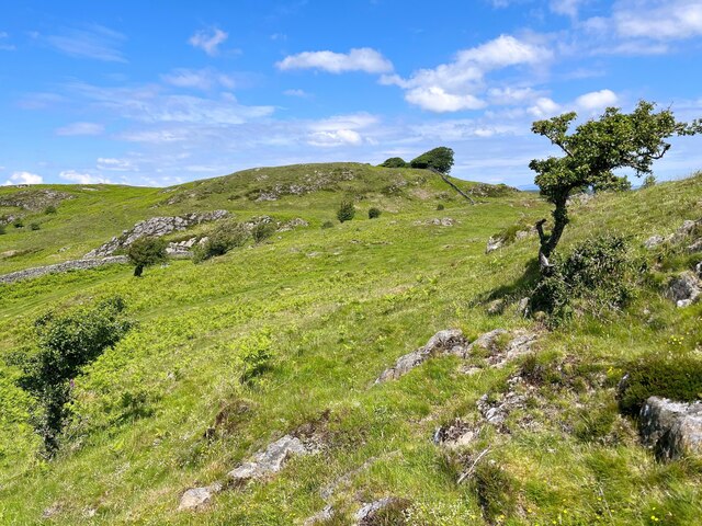
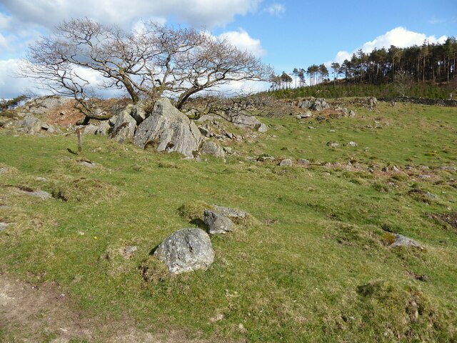
The wood is characterized by its dense canopy of mature trees, predominantly consisting of oak, ash, and beech. These towering trees provide a sheltered habitat for a variety of wildlife, including birds, small mammals, and insects. The undergrowth is rich with ferns, mosses, and wildflowers, adding to the wood's natural beauty.
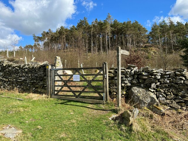
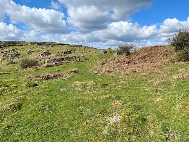
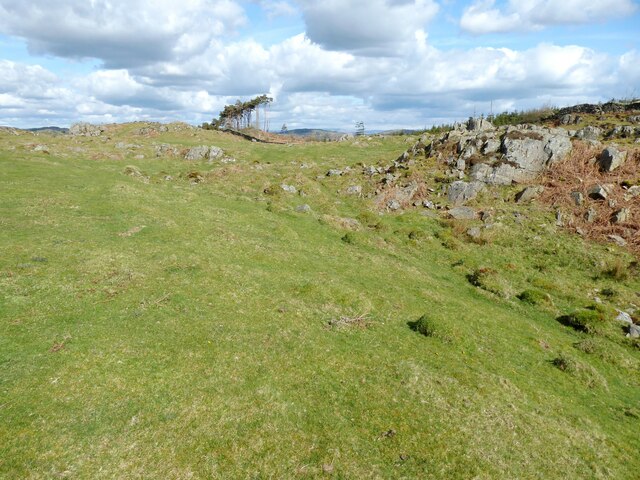
Visitors can explore the wood through a network of well-maintained footpaths and trails, which wind their way through the trees and meander alongside a gentle stream. The tranquil atmosphere and peaceful surroundings make it an ideal place for leisurely walks, birdwatching, or simply escaping the hustle and bustle of everyday life.
Back Shaw Wood is also a haven for bird enthusiasts, with numerous species making their home within its boundaries. Common sightings include woodpeckers, owls, and various songbirds. The wood's proximity to agricultural fields and wetland areas further enhances its appeal to a diverse range of birdlife.
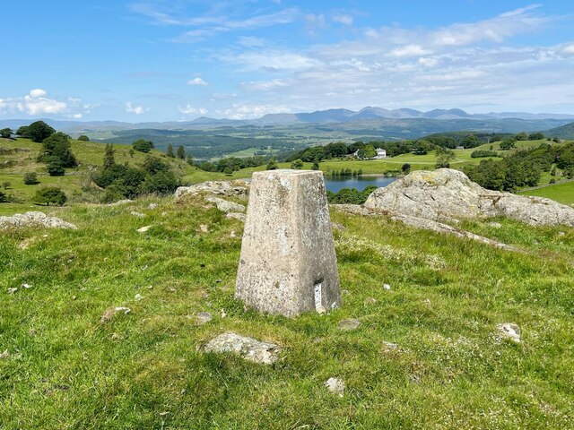
In addition to its natural beauty, Back Shaw Wood holds historical significance. It is believed to have been part of an ancient forest that once covered a large part of the region. Remnants of old stone walls and boundary markers can still be seen, providing glimpses into the wood's past.
Overall, Back Shaw Wood offers visitors a chance to immerse themselves in nature, enjoy peaceful walks, and appreciate the diverse flora and fauna that thrive within its boundaries.
If you have any feedback on the listing, please let us know in the comments section below.
Back Shaw Wood Images
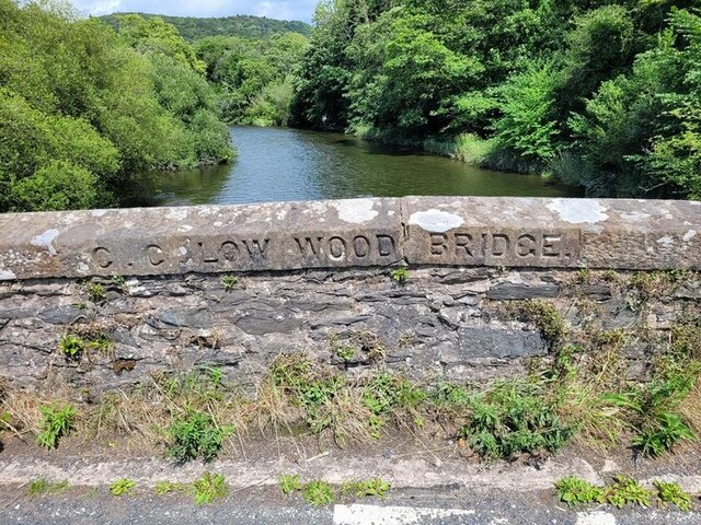
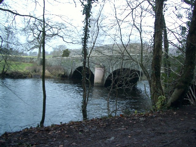
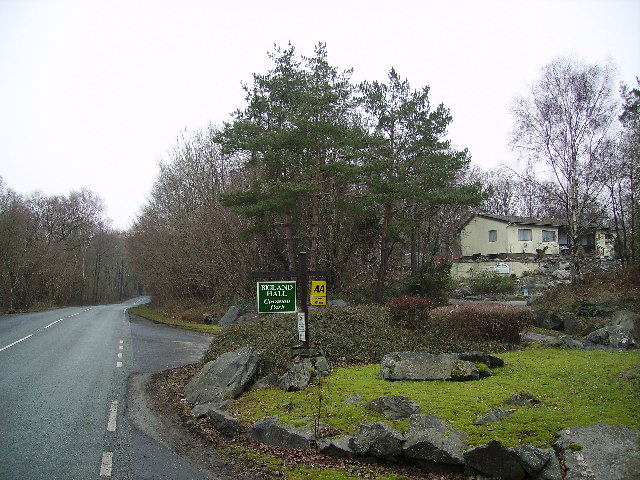
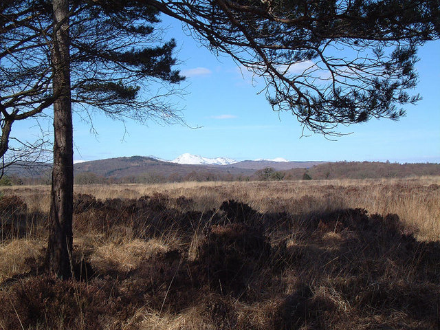
Images are sourced within 2km of 54.228088/-3.0099887 or Grid Reference SD3481. Thanks to Geograph Open Source API. All images are credited.


Back Shaw Wood is located at Grid Ref: SD3481 (Lat: 54.228088, Lng: -3.0099887)
Administrative County: Cumbria
District: South Lakeland
Police Authority: Cumbria
What 3 Words
///smuggled.watch.isolated. Near Flookburgh, Cumbria
Nearby Locations
Related Wikis

Bigland Tarn
Bigland Tarn is a lake in Cumbria, England, about 3/4 mile southeast of Haverthwaite. Located at an elevation of 158 m (518 ft), the lake has an area of...

Haverthwaite
Haverthwaite is a small village and civil parish in the Furness region of Cumbria, England. It is also within the boundaries of the Lake District National...

A590 road
The A590 is a trunk road in southern Cumbria, in the north-west of England. It runs north-east to south-west from M6 junction 36, through the towns of...

Rusland Pool
Rusland Pool is a small stream or beck running through the administrative county of Cumbria. Before 1974, Rusland Pool was in Lancashire. The source of...
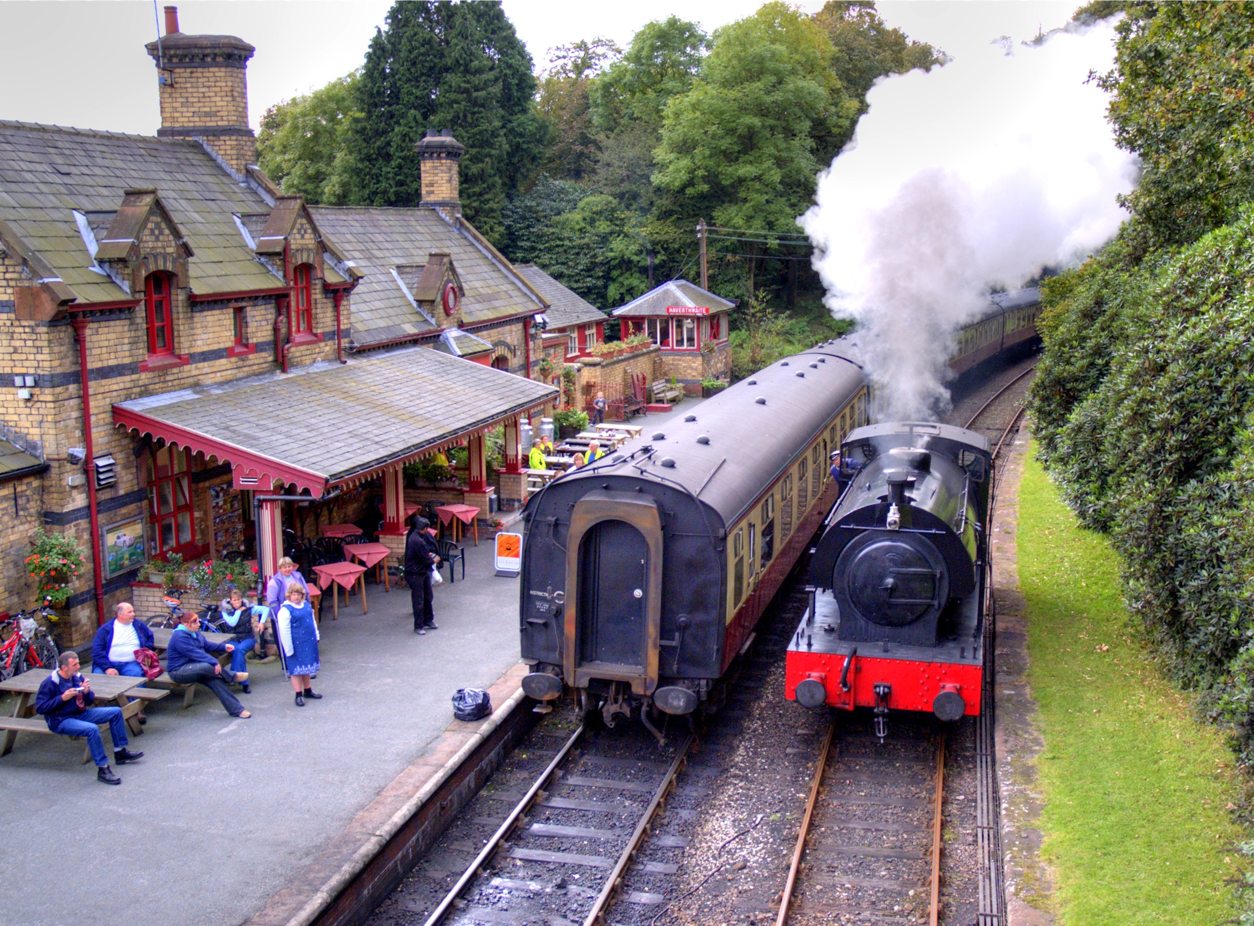
Haverthwaite railway station
Haverthwaite railway station is a railway station on the preserved Lakeside and Haverthwaite Railway in Cumbria, England. == History == The station opened...

River Leven, Cumbria
The River Leven (pron. LEV-ən) is a short river in the ceremonial county of Cumbria, falling within the historic boundaries of Lancashire. It drains Windermere...

River Crake
The River Crake is a short river in the English Lake District. The name probably derives from the Celtic languages (most likely Brythonic languages; ie...

Greenodd railway station
Greenodd railway station was on the route between Ulverston and Lakeside, built by the Furness Railway. It served the village of Greenodd, then in Lancashire...
Nearby Amenities
Located within 500m of 54.228088,-3.0099887Have you been to Back Shaw Wood?
Leave your review of Back Shaw Wood below (or comments, questions and feedback).