Great Intake
Wood, Forest in Lancashire South Lakeland
England
Great Intake

Great Intake is a small village located in the rural county of Lancashire, in the northwest of England. Situated within the beautiful Wood Forest, the village is known for its idyllic surroundings and tranquil atmosphere.
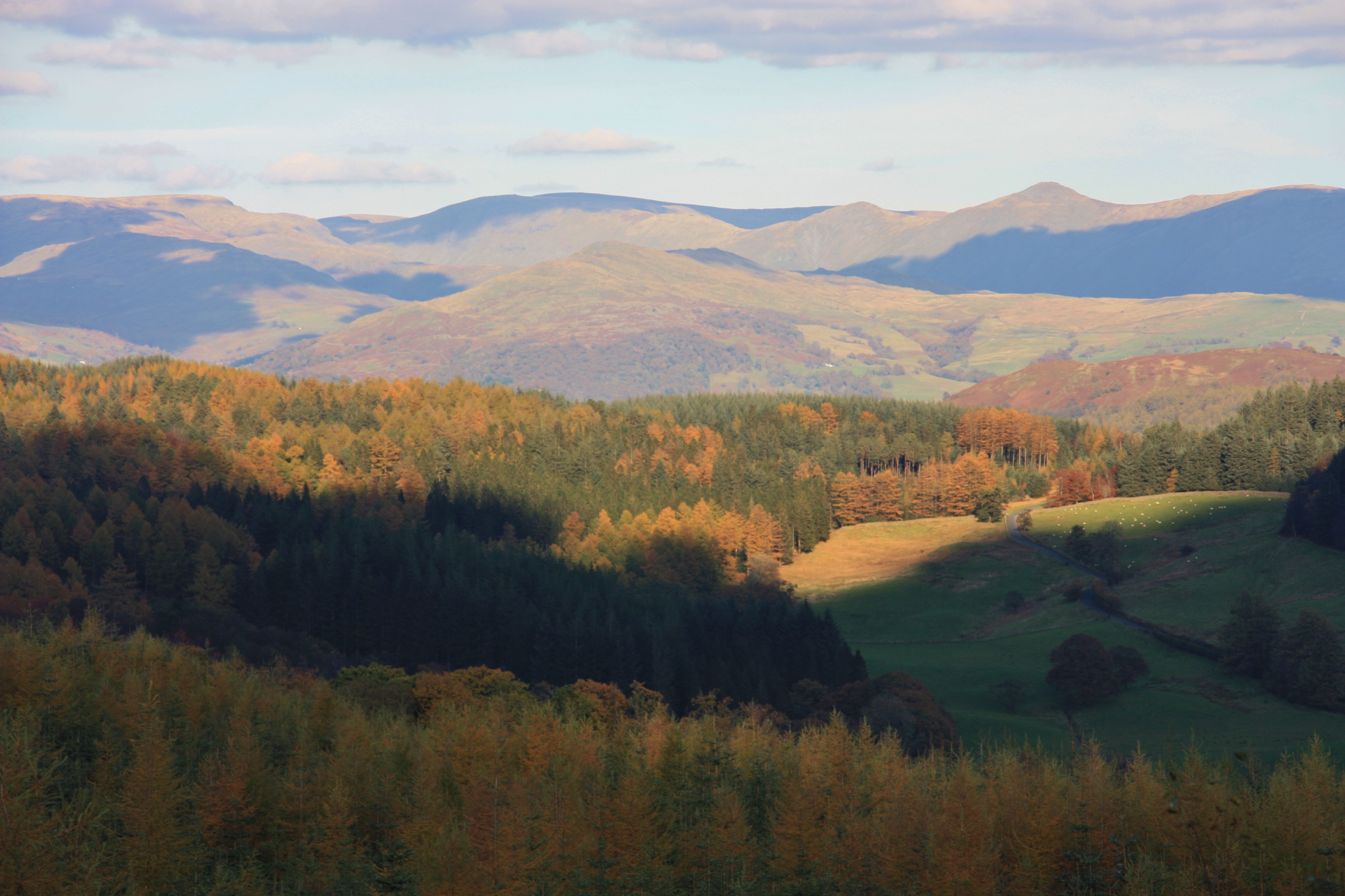
The village is home to a close-knit community of around 200 residents, who enjoy a peaceful and laid-back lifestyle. The landscape of Great Intake is characterized by rolling hills, lush green meadows, and dense woodlands, making it a haven for nature lovers and outdoor enthusiasts.
The forest surrounding the village is rich in biodiversity, housing a variety of plant and animal species. Visitors can explore numerous walking trails and nature reserves, immersing themselves in the natural beauty that Great Intake has to offer.
Despite its small size, Great Intake has a few amenities to cater to its residents. These include a local pub, offering traditional English fare and a cozy atmosphere for socializing. There is also a village hall which serves as a community center, hosting various events and activities throughout the year.
The village is well-connected to the wider region, with good road links to nearby towns and cities. This allows residents easy access to amenities such as schools, healthcare facilities, and shopping centers.
Overall, Great Intake is a picturesque village nestled within the enchanting Wood Forest, offering a serene and close community for those seeking a peaceful countryside lifestyle.
If you have any feedback on the listing, please let us know in the comments section below.
Great Intake Images
Images are sourced within 2km of 54.334936/-3.0128064 or Grid Reference SD3493. Thanks to Geograph Open Source API. All images are credited.


Great Intake is located at Grid Ref: SD3493 (Lat: 54.334936, Lng: -3.0128064)
Administrative County: Cumbria
District: South Lakeland
Police Authority: Cumbria
What 3 Words
///folk.tonal.presume. Near Windermere, Cumbria
Nearby Locations
Related Wikis

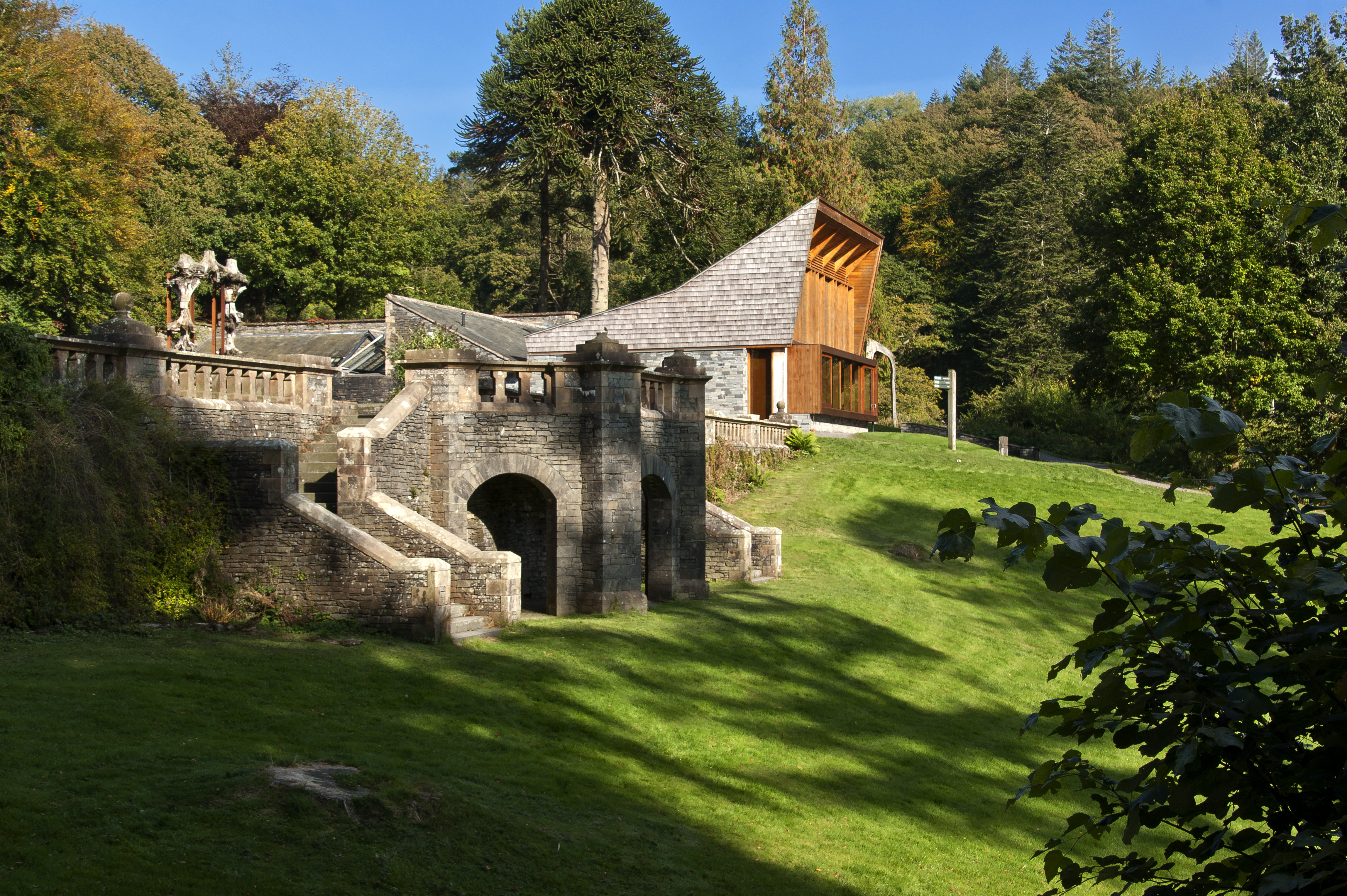
Grizedale Hall
Grizedale Hall was a large country house at Grizedale, Hawkshead, in the Lake District in Cumbria, England. After two earlier Grizedale Halls had preceded...
Grizedale Forest
Grizedale Forest is a 24.47 km2 area of woodland in the Lake District of North West England, located to the east of Coniston Water and to the south of...
Grizedale
Grizedale is a hamlet in the Lake District of North West England, in the middle of the Grizedale Forest, located north of Satterthwaite and south of Hawkshead...

Satterthwaite
Satterthwaite is a small village (and civil parish) with around 50 dwellings situated in Grizedale, a valley in the Lake District, England, about four...
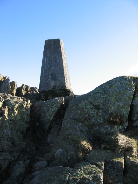
Carron Crag
Carron Crag is a small fell in Grizedale Forest in the English Lake District with a height of 314 metres (1,030 ft). Adjacent to the trig point is a large...

Satterthwaite & Rusland School
Satterthwaite & Rusland School was a Church of England Primary school near Force Forge in the Rusland Valley. The school was established in 1840 for children...

Esthwaite Water
Esthwaite Water is one of the smaller and lesser known lakes in the Lake District National Park in northern England. It is situated between the much larger...

Lawson Park
Lawson Park is a remote English Lake District hillfarm, leased by Grizedale Arts (a contemporary art commissioner) from the Forestry Commission. It is...
Nearby Amenities
Located within 500m of 54.334936,-3.0128064Have you been to Great Intake?
Leave your review of Great Intake below (or comments, questions and feedback).