Twenty Acre Coppice

Wood, Forest in Dorset
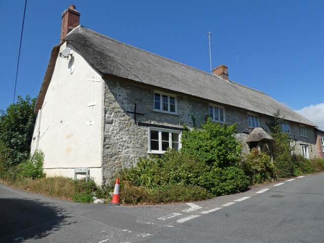
England

Twenty Acre Coppice

Riverside walk - Lyme Regis Not far from where one takes up the River Lim walk again from Coombe Street, there is a large handsome house which looks as if it may have originally been a commercial building such as some sort of mill
Riverside walk - Lyme Regis Credit: Sarah Smith

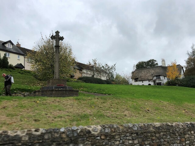
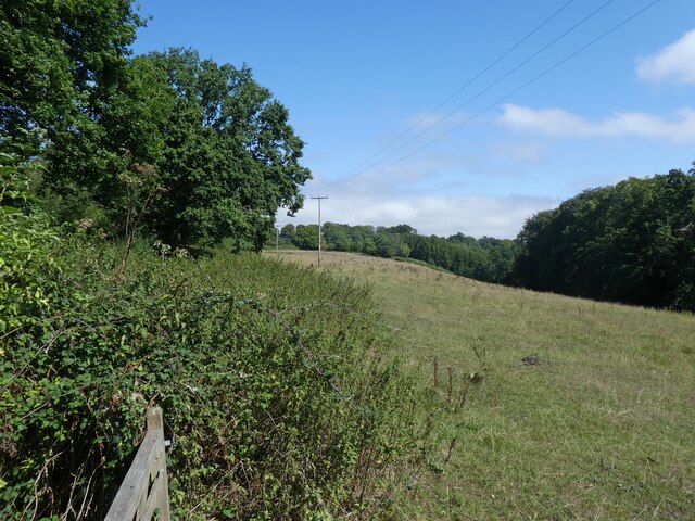
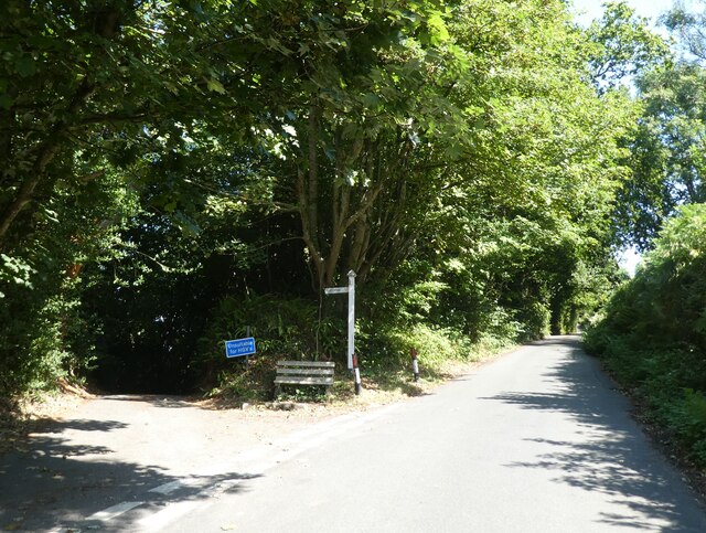
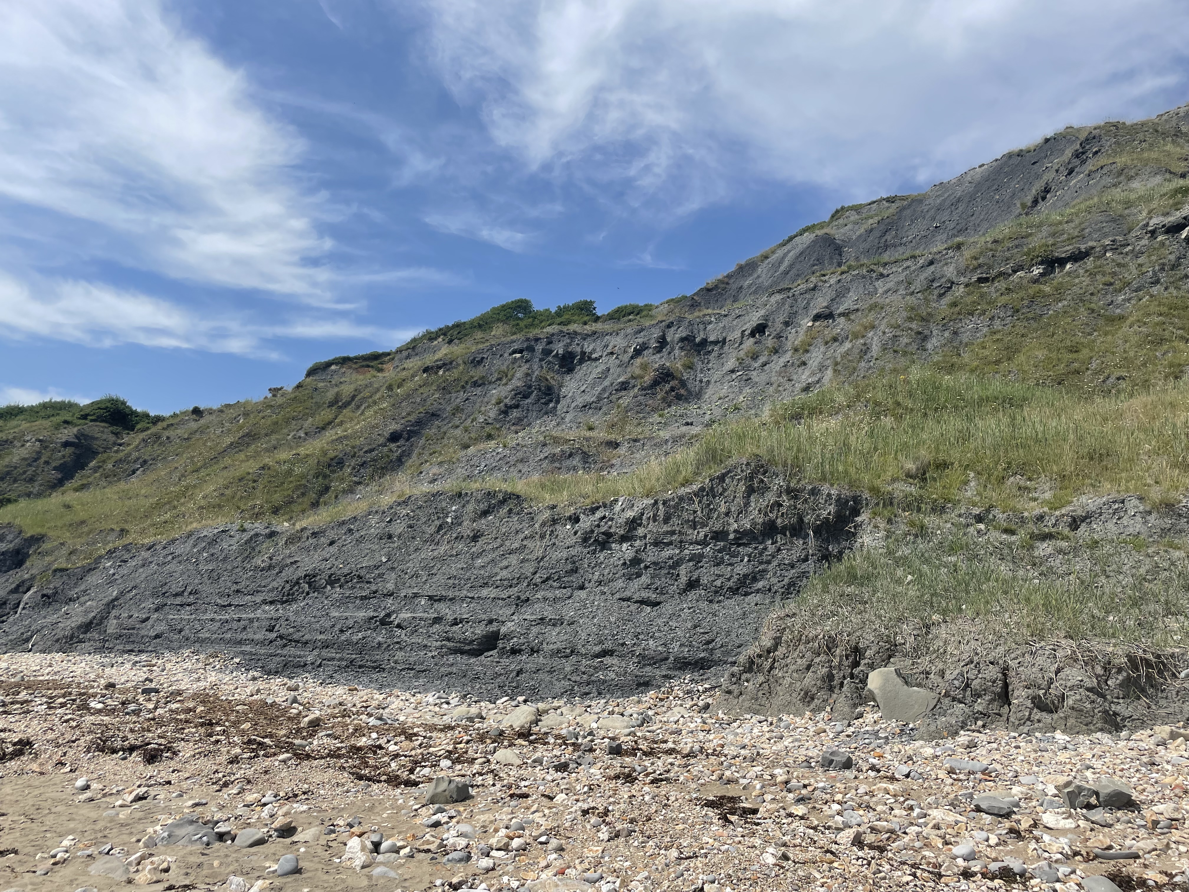
Located in Dorset, England, Twenty Acre Coppice is a picturesque woodland area that covers approximately twenty acres of land. This enchanting forest is nestled in a rural setting, surrounded by rolling hills and lush green fields, offering visitors a tranquil and immersive nature experience.

Twenty Acre Coppice boasts a diverse range of tree species, including oak, beech, ash, and birch, creating a rich and varied ecosystem. The dense canopy allows for dappled sunlight to filter through, casting a magical glow on the forest floor below. The forest is also home to an array of wildlife, such as deer, squirrels, rabbits, and a variety of bird species, making it a popular spot for nature enthusiasts and birdwatchers.

The woodland is crisscrossed with well-maintained footpaths, providing easy access for walkers and hikers to explore the area. Along these paths, visitors can discover hidden gems, such as babbling brooks, charming wooden bridges, and secluded picnic spots, offering a perfect opportunity to unwind and connect with nature.

With its idyllic setting, Twenty Acre Coppice is not only a haven for nature lovers but also a popular destination for photographers, artists, and outdoor enthusiasts. Whether one is seeking a peaceful retreat, a place for outdoor activities, or simply a scenic spot to appreciate the beauty of nature, this enchanting woodland in Dorset is sure to captivate and inspire all who venture within its borders.

If you have any feedback on the listing, please let us know in the comments section below.

Twenty Acre Coppice Images

Images are sourced within 2km of 50.744555/-2.9335091 or Grid Reference SY3494. Thanks to Geograph Open Source API. All images are credited.

Riverside walk - Lyme Regis Not far from where one takes up the River Lim walk again from Coombe Street, there is a large handsome house which looks as if it may have originally been a commercial building such as some sort of mill
Riverside walk - Lyme Regis
Not far from where one takes up the River Lim walk again from Coombe Street, there is a large handsome house which looks as if it may have originally been a commercial building such as some sort of mill
The Ford, River Lim - Lyme Regis This ford is supposed to be the longest in the country.  It is situated near Jordan Flats.
The Ford, River Lim - Lyme Regis
This ford is supposed to be the longest in the country. It is situated near Jordan Flats.
Mill Green - Lyme Regis Prettily painted terraced houses winding up the hill from the river.
Mill Green - Lyme Regis
Prettily painted terraced houses winding up the hill from the river.
22 and 23, Broad Street
Pitt White Bamboo Garden Gate to Pitt White Bamboo Garden
Pitt White Bamboo Garden
Gate to Pitt White Bamboo Garden
War Memorial at Uplyme
Junction at Whitty Down
Holly Hill Christmas tree nurseries
Field, above Spring Close Coppice
Junction, on Spring Head Road
Thatched Cottage at Lane End
Church of St Peter & St Paul, Uplyme
Art exhibition at Church of St Peter & St Paul, Uplyme
'The Roost', Uplyme
'The Roost', Uplyme
Uplyme Scout Hut 1st Lym Valley cubs and scouts.
Uplyme Scout Hut
1st Lym Valley cubs and scouts.
Bridleway to Rhode Hill
Farmland, west of Rhode Lane
Rhode Hill Lodge
Rhode Hill Lodge
Show me another place!

Twenty Acre Coppice is located at Grid Ref: SY3494 (Lat: 50.744555, Lng: -2.9335091)

Unitary Authority: Dorset

Police Authority: Dorset

What 3 Words

///firmly.advancing.corporate. Near Lyme Regis, Dorset

Related Wikis

Lyme Regis Cemetery

Lyme Regis Cemetery is the principal cemetery in the English town of Lyme Regis, Dorset. Estimates for the number of burials in the cemetery range from...
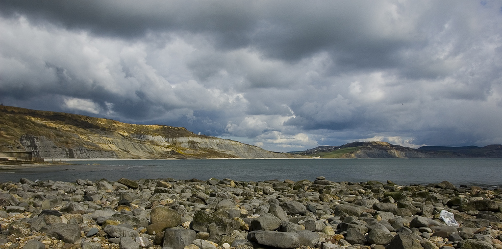
The Spittles

The Spittles is an area of coastal cliff in the county of Dorset on the south coast of England. It is situated between the settlements of Lyme Regis to...

Uplyme

Uplyme is an English village and civil parish in East Devon on the Devon-Dorset border and the River Lym, adjacent to the Dorset coastal town of Lyme Regis...

Lyme Regis railway station

Lyme Regis railway station was the terminus of the Lyme Regis branch line in the west of the English county of Dorset. Serving the coastal resort town...

The Woodroffe School

The Woodroffe School is a comprehensive school in Lyme Regis, Dorset, England. == Lyme Regis Grammar School == From 1923-1971 the school was known as Lyme...

Black Ven

Black Ven is a cliff in Dorset, England between the towns of Charmouth and Lyme Regis. The cliffs reach a height of 130 metres (430 ft). It is part of...

Allhallows College

Allhallows College, previously known as Allhallows School, was a British public school for boys in Devon, in the west of England. Predominantly a boarding...

Dinosaurland Fossil Museum

Dinosaurland Fossil Museum (aka Dinosaurland) is a privately owned fossil museum in Lyme Regis, on the Jurassic Coast in Dorset, England. The museum is...

Related Videos

Charmouth Camping and Caravanning Club Site

This video shows arrival at Charmouth Camping and Caravan Club Site (also known as Monkton Wyld Holiday Park) located off ...

Wood Farm Holiday Park, Charmouth, Dorset.

If you are looking for a family friendly holiday park suitable for Motorhomes, Campervans, Caravans, Tents or fancy trying a ...

Having a coastal walk with the dogs, so beautiful.

Check out our dog friendly detached studio with fenced garden ...

Charmouth C&CC July 2020

Charmouth Camping and Caravan club site July 2020.

Nearby Amenities

Located within 500m of 50.744555,-2.9335091
Power: pole
Lat/Long: 50.7449568/-2.9308222
Power: pole
Lat/Long: 50.7450725/-2.9288627
Power: pole
Lat/Long: 50.7451538/-2.9272182
Power: pole
Lat/Long: 50.7451662/-2.9274338
Power: pole
Lat/Long: 50.7453322/-2.9270161
Power: pole
Lat/Long: 50.7453393/-2.927177
Power: pole
Lat/Long: 50.7460383/-2.9269086
Power: pole
Lat/Long: 50.7462634/-2.9271029
Poles: bipole
Power: pole
Lat/Long: 50.7415713/-2.9339424
Power: pole
Lat/Long: 50.7429376/-2.9330989
Power: pole
Lat/Long: 50.7436929/-2.9322794
Power: pole
Lat/Long: 50.7443582/-2.931515
Power: pole
Lat/Long: 50.7451956/-2.93083
Poles: bipole
Power: pole
Lat/Long: 50.7450664/-2.9308448
Power: pole
Lat/Long: 50.7452333/-2.93221
Power: pole
Lat/Long: 50.7447784/-2.9319636
Power: pole
Lat/Long: 50.7437965/-2.9355206
Power: pole
Lat/Long: 50.7432438/-2.9384403
Power: pole
Lat/Long: 50.7454649/-2.9403279
Power: pole
Lat/Long: 50.7454296/-2.9390258
Power: transformer
Voltage Primary: 33000
Voltage Secondary: 11000
Lat/Long: 50.7450859/-2.9270089
Power: transformer
Voltage Primary: 33000
Voltage Secondary: 11000
Lat/Long: 50.74509/-2.9271697
Power: pole
Source: bing
Lat/Long: 50.741152/-2.9346719
Power: pole
Source: bing
Lat/Long: 50.7405104/-2.9358172
Power: pole
Source: bing
Lat/Long: 50.7446586/-2.9309289
Power: pole
Source: bing
Lat/Long: 50.7443294/-2.9311851
Power: pole
Source: bing
Lat/Long: 50.7436072/-2.9317229
Power: pole
Source: bing
Transformer: distribution
Lat/Long: 50.742924/-2.9322553
Power: pole
Source: bing
Lat/Long: 50.7421348/-2.9328802
Power: pole
Source: bing
Lat/Long: 50.7415246/-2.9334582
Power: pole
Source: bing
Lat/Long: 50.7406564/-2.9345834
Power: pole
Source: bing
Lat/Long: 50.7410434/-2.9340671
Power: pole
Source: bing
Lat/Long: 50.7434909/-2.9365884
Power: pole
Source: bing
Lat/Long: 50.7444923/-2.9330117
Power: switch
Source: bing
Lat/Long: 50.7451738/-2.9270866
Power: pole
Source: bing
Lat/Long: 50.7451746/-2.9270115
Power: pole
Source: bing
Lat/Long: 50.7451728/-2.9271721
Power: pole
Source: bing
Lat/Long: 50.7452514/-2.9271744
Power: pole
Source: bing
Lat/Long: 50.7452204/-2.9271735
Power: pole
Source: bing
Lat/Long: 50.7452454/-2.9270135
Power: pole
Source: bing
Lat/Long: 50.7452153/-2.9270127
Power: pole
Source: bing
Lat/Long: 50.7452577/-2.9335964
The data included in this document is from www.openstreetmap.org. The data is made available under ODbL.

Have you been to Twenty Acre Coppice?

Leave your review of Twenty Acre Coppice below (or comments, questions and feedback).