Cnydfa
Settlement in Montgomeryshire
Wales
Cnydfa

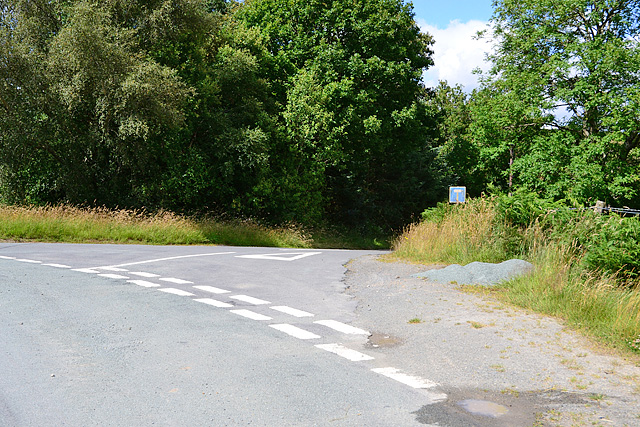
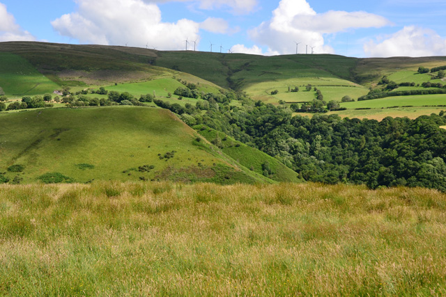
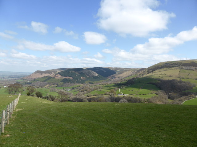
Cnydfa is a small village located in the county of Montgomeryshire, Wales. Situated in the beautiful countryside, the village is nestled in a valley surrounded by rolling hills and lush green fields. It is part of the scenic Dyfi Valley, which is known for its picturesque landscapes and charming rural communities.
Cnydfa is a close-knit community with a population of around 200 residents. The village is primarily residential, consisting of a cluster of traditional Welsh stone cottages and a few newer houses. The village has a peaceful and tranquil atmosphere, offering a quiet escape from the hustle and bustle of city life.
Although small, Cnydfa has a strong sense of community, with various communal events and gatherings throughout the year. The village has a community center where locals come together for meetings, social activities, and celebrations. Additionally, there is a small chapel serving as a place of worship for the residents.
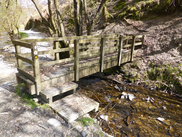
Nature lovers will find plenty to explore in the surrounding area. The village is located near the stunning Dyfi Forest, which provides opportunities for walking, cycling, and wildlife spotting. The nearby River Dyfi also offers fishing and boating activities.
Despite its rural setting, Cnydfa is not far from amenities. The closest town, Machynlleth, is approximately 10 miles away and offers a range of shops, cafes, and other essential services. Overall, Cnydfa offers a peaceful and idyllic lifestyle, perfect for those seeking a close-knit community and a connection to nature.
If you have any feedback on the listing, please let us know in the comments section below.
Cnydfa Images
Images are sourced within 2km of 52.423691/-3.460278 or Grid Reference SO0081. Thanks to Geograph Open Source API. All images are credited.


Cnydfa is located at Grid Ref: SO0081 (Lat: 52.423691, Lng: -3.460278)
Unitary Authority: Powys
Police Authority: Dyfed Powys
What 3 Words
///reminder.coasting.union. Near Llanidloes, Powys
Nearby Locations
Related Wikis
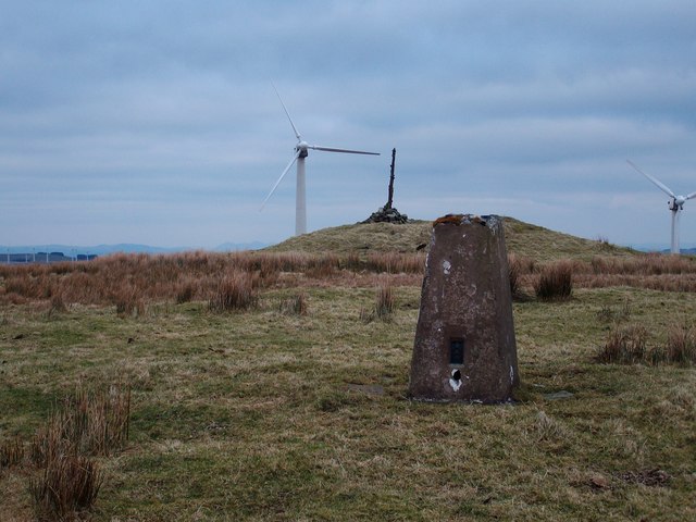
Pegwn Mawr
Pegwn Mawr is a mountain in Powys, Mid Wales, east of Llanidloes. It is 586 m (1,922 ft) high. It is surrounded by a wind farm. There is a trig point...
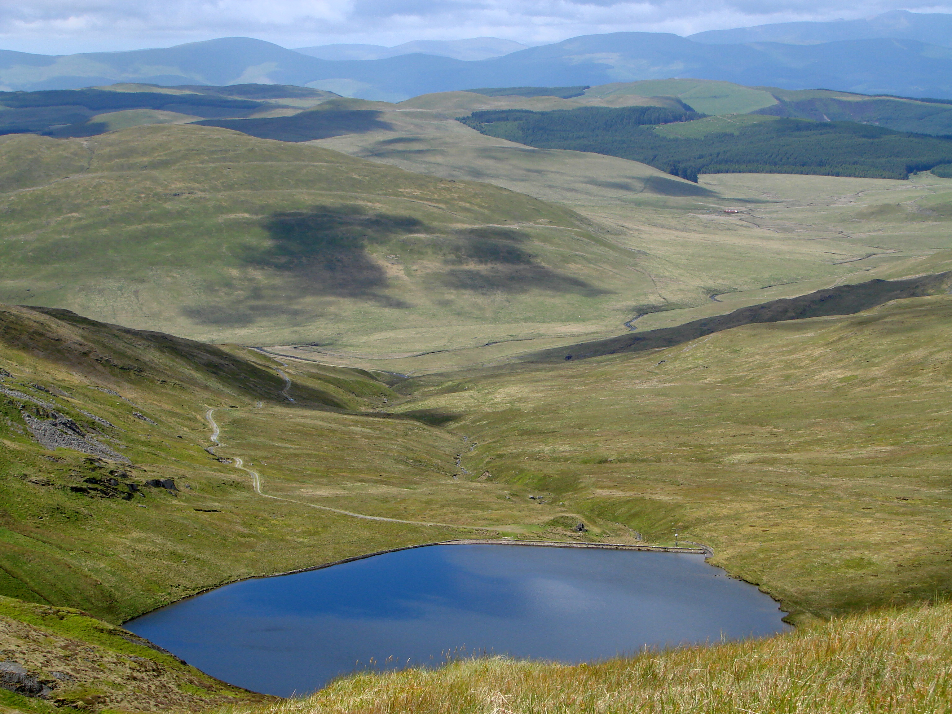
Cambrian Mountains
The Cambrian Mountains (Welsh: Mynyddoedd Cambria, in a narrower sense: Elenydd) are a series of mountain ranges in Wales. The term Cambrian Mountains...
Dolwen railway station
Dolwen railway station was a station to the southwest of Llandinam, Powys, Wales. The station was opened in 1859 and closed in 1963. The station building...

Glan-yr-Afon Halt railway station
Glan-yr-Afon Halt railway station was a station to the southeast of Tylwch, Powys, Wales. The station was closed in 1962. == References == == Further... ==
Nearby Amenities
Located within 500m of 52.423691,-3.460278Have you been to Cnydfa?
Leave your review of Cnydfa below (or comments, questions and feedback).