Birch Coppice
Wood, Forest in Herefordshire
England
Birch Coppice

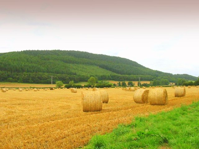
Birch Coppice is a beautiful woodland located in Herefordshire, England. Spanning an area of approximately 200 acres, it is renowned for its picturesque scenery and diverse flora and fauna. The woodland is primarily composed of birch trees, hence its name, but also includes a mix of other deciduous trees such as oak, beech, and ash.
The forest boasts a network of well-maintained trails, making it a popular destination for nature enthusiasts and hikers. These trails offer visitors the opportunity to explore the woodland and discover its hidden gems, including tranquil streams, wildflower meadows, and ancient ruins.
Birch Coppice is a haven for wildlife, providing a habitat for numerous species. Nature lovers can spot a variety of birds, including woodpeckers, owls, and songbirds, as well as mammals such as deer, foxes, and squirrels. The woodland is also home to a diverse range of insects and smaller creatures, making it a perfect spot for wildlife photography and observation.
In addition to its natural beauty, Birch Coppice also holds historical significance. The woodland is believed to have been used by ancient civilizations for various purposes, with remnants of old settlements and archaeological sites scattered throughout. These historical elements add an extra layer of intrigue and fascination to the woodland, attracting history enthusiasts and researchers alike.
Overall, Birch Coppice is a stunning woodland that offers visitors a chance to immerse themselves in nature, explore its diverse ecosystems, and discover its rich history. Whether it be for a leisurely stroll, a wildlife spotting adventure, or a historical exploration, Birch Coppice is a must-visit destination for nature and history enthusiasts in Herefordshire.
If you have any feedback on the listing, please let us know in the comments section below.
Birch Coppice Images
Images are sourced within 2km of 52.232234/-2.9689439 or Grid Reference SO3359. Thanks to Geograph Open Source API. All images are credited.


Birch Coppice is located at Grid Ref: SO3359 (Lat: 52.232234, Lng: -2.9689439)
Unitary Authority: County of Herefordshire
Police Authority: West Mercia
What 3 Words
///funky.inform.standing. Near Kington, Herefordshire
Nearby Locations
Related Wikis

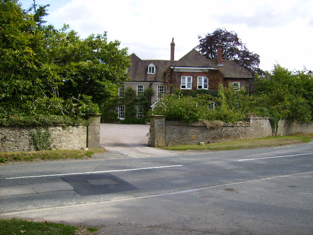
Titley Priory
Titley Priory was a priory near Titley in Herefordshire, England at grid reference SO32966011. == References ==
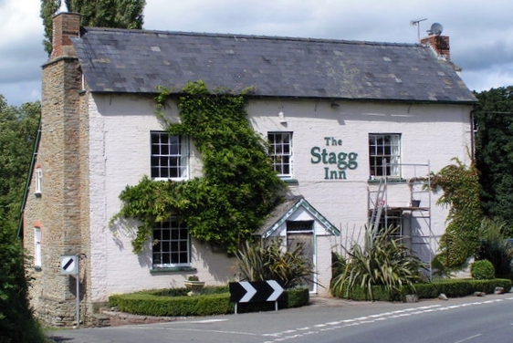
The Stagg Inn
The Stagg Inn is a restaurant located in Titley, Herefordshire, England. As of 2015, the restaurant holds one star in the Michelin Guide. The Stagg was...
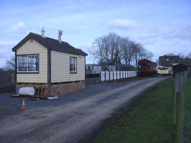
Forge Crossing Halt railway station
Forge Crossing Halt railway station was a station in Titley, Herefordshire, England. The station, on the Presteigne Branch Line of the Leominster and Kington...
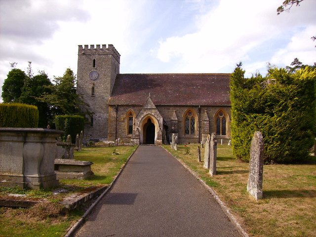
Titley, Herefordshire
Titley is a village and civil parish in Herefordshire, England. It lies on the B4355 between Kington and Presteigne. In the 2001 census the parish had...
Titley Pool
Titley Pool is a lake in Herefordshire, England. It is situated at Titley, 3 kilometres (1.9 mi) north west of the town of Kington. It is a naturally...
Titley Junction railway station
Titley Junction railway station was a station in Titley, Herefordshire, England. The station was located nearly two miles south of Titley village. The...
Marston Halt railway station
Marston Halt railway station was a station in Marston, Herefordshire, England. The station was opened in 1856 and closed in 1955. The station was located...
Wapley Hill
Wapley Hill is an Iron Age hill fort in Herefordshire, England, 3 km south-east of Presteigne. == Location == Wapley Hill stands in mixed woodland on a...
Nearby Amenities
Located within 500m of 52.232234,-2.9689439Have you been to Birch Coppice?
Leave your review of Birch Coppice below (or comments, questions and feedback).