Ashcombe Wood
Wood, Forest in Devon East Devon
England
Ashcombe Wood
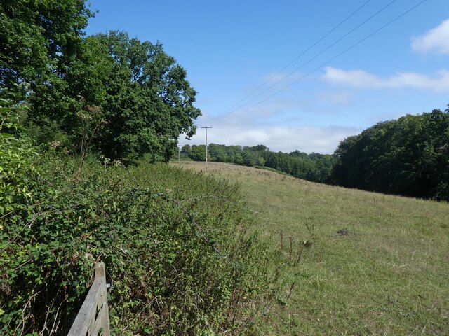
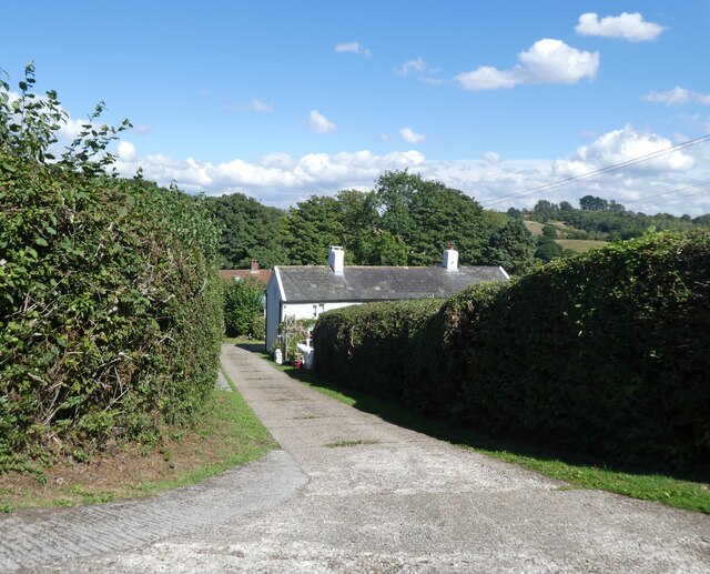
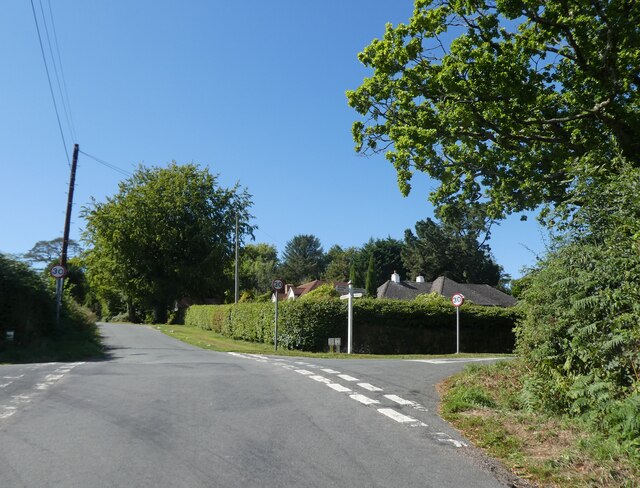
Ashcombe Wood is a picturesque woodland located in Devon, England. Covering an area of approximately 100 acres, it is nestled within the beautiful Ashcombe Valley, near the village of Ashcombe. The woodland is part of the East Devon Area of Outstanding Natural Beauty, boasting a diverse range of flora and fauna.
The wood is comprised of a mix of deciduous and coniferous trees, including oak, beech, and pine, creating a lush and vibrant habitat. The forest floor is carpeted with a variety of wildflowers, such as bluebells and primroses, adding a burst of color to the surroundings.
Ashcombe Wood is home to a rich array of wildlife, making it a popular destination for nature enthusiasts and birdwatchers. Visitors may spot various bird species, including woodpeckers, nuthatches, and tawny owls. The woodland also provides a habitat for small mammals like squirrels, rabbits, and hedgehogs.
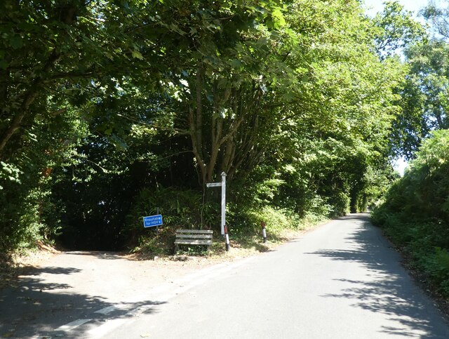
A network of well-maintained trails crisscrosses through the wood, allowing visitors to explore its natural beauty on foot. These paths lead to scenic viewpoints, providing stunning vistas of the surrounding countryside and the winding river that meanders through the valley.
The wood is open to the public throughout the year, offering a peaceful and tranquil escape from the hustle and bustle of everyday life. It is a popular spot for picnics, leisurely walks, and nature photography. Ashcombe Wood truly embodies the charm and tranquility of the English countryside, making it a must-visit destination for nature lovers in Devon.
If you have any feedback on the listing, please let us know in the comments section below.
Ashcombe Wood Images
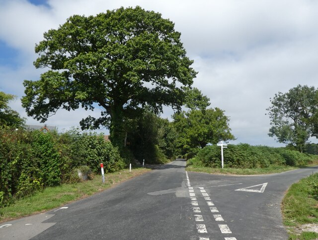
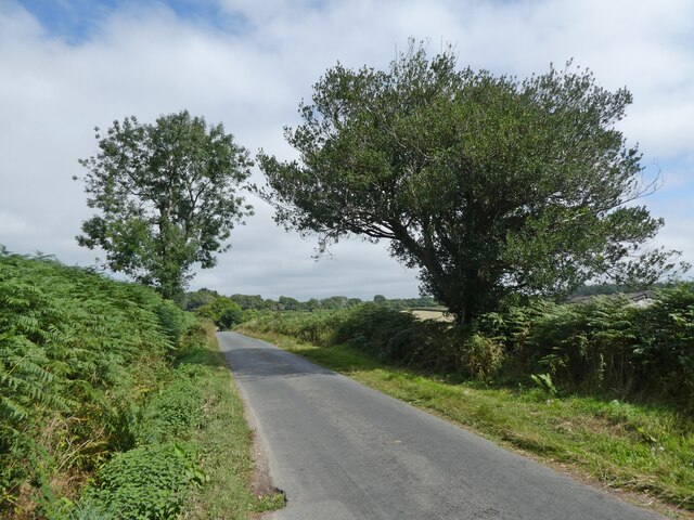
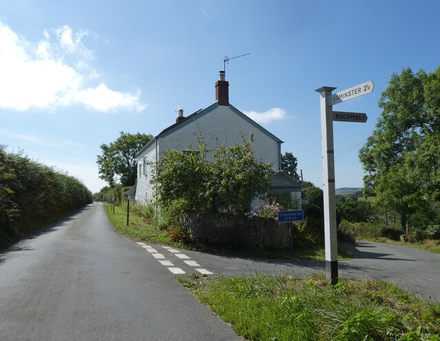
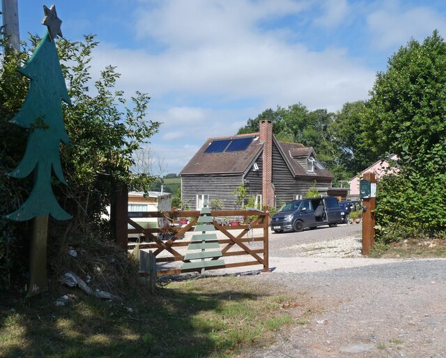
Images are sourced within 2km of 50.753061/-2.9382572 or Grid Reference SY3395. Thanks to Geograph Open Source API. All images are credited.


Ashcombe Wood is located at Grid Ref: SY3395 (Lat: 50.753061, Lng: -2.9382572)
Administrative County: Devon
District: East Devon
Police Authority: Devon and Cornwall
What 3 Words
///firms.pumpkin.grumbling. Near Charmouth, Dorset
Nearby Locations
Related Wikis

St Andrew's Church, Monkton Wyld
St Andrew's Church is a Church of England church in Monkton Wyld, Dorset, England. It was built in 1848–49 to the designs of Richard Cromwell Carpenter...

Uplyme
Uplyme is an English village and civil parish in East Devon on the Devon-Dorset border and the River Lym, adjacent to the Dorset coastal town of Lyme Regis...

Raymond's Hill
Raymond's Hill is a village and residential area off the A35 road in Devon, England, right on the border with the county of Dorset. It is about 2 miles...

Lyme Regis Cemetery
Lyme Regis Cemetery is the principal cemetery in the English town of Lyme Regis, Dorset. Estimates for the number of burials in the cemetery range from...
Nearby Amenities
Located within 500m of 50.753061,-2.9382572Have you been to Ashcombe Wood?
Leave your review of Ashcombe Wood below (or comments, questions and feedback).