Bad Patch Wood

Wood, Forest in Herefordshire

England

Bad Patch Wood

Spinney and harvested maize field View to the ESE. Field used partly as paddock and partly for crops (maize) had just been harvested when picture was taken in November 2005. In previous years, field was used for winter sheep grazing and silage.
Spinney and harvested maize field Credit: Nigel Hamlin

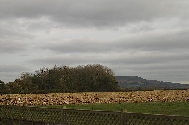
Bad Patch Wood is a picturesque woodland located in Herefordshire, England. Covering an area of approximately 50 acres, it is nestled within the stunning countryside, making it a popular destination for nature enthusiasts and hikers alike.

The wood is known for its diverse range of flora and fauna, offering a rich and vibrant ecosystem. The towering oak and beech trees dominate the landscape, providing a dense canopy that filters the sunlight and creates a tranquil atmosphere. The forest floor is adorned with a variety of wildflowers, including bluebells and primroses, which bloom in vibrant colors during the spring months.

Several winding footpaths meander through the wood, providing visitors with the opportunity to explore the area and observe the local wildlife. Birdwatchers will be delighted to spot a variety of species, including woodpeckers, owls, and various songbirds. Squirrels and rabbits are also commonly sighted, adding to the woodland's charm.

Bad Patch Wood is managed by the local authorities, who ensure its preservation and upkeep. The woodland offers a peaceful retreat for visitors, with benches strategically placed along the trails, providing the perfect spot to sit and soak in the tranquility of the surroundings.

Overall, Bad Patch Wood is a hidden gem in Herefordshire, offering a delightful escape from the hustle and bustle of everyday life. Its natural beauty and abundant wildlife make it a must-visit destination for anyone seeking a true connection with nature.

If you have any feedback on the listing, please let us know in the comments section below.

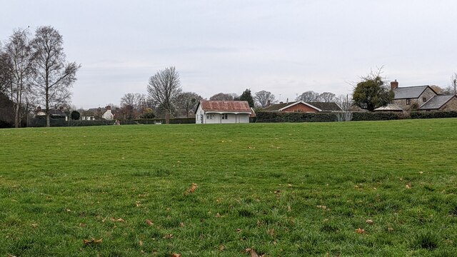
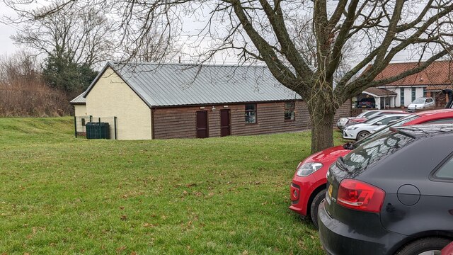
Bad Patch Wood Images

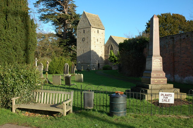
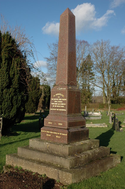
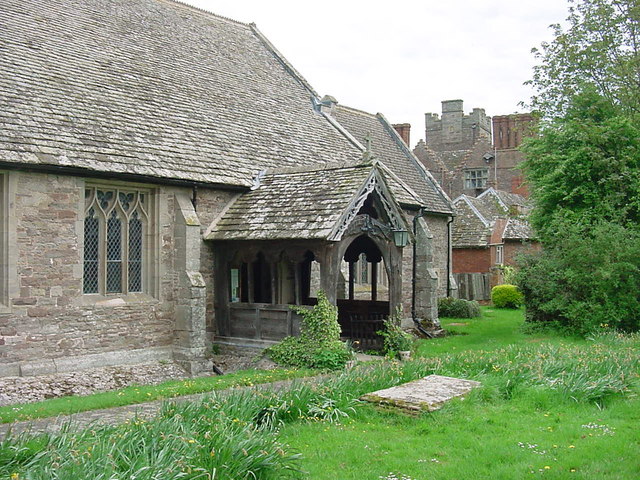
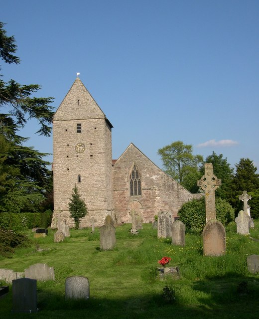
Images are sourced within 2km of 52.147028/-2.9679257 or Grid Reference SO3350. Thanks to Geograph Open Source API. All images are credited.

Spinney and harvested maize field View to the ESE. Field used partly as paddock and partly for crops (maize) had just been harvested when picture was taken in November 2005. In previous years, field was used for winter sheep grazing and silage.
Spinney and harvested maize field
View to the ESE. Field used partly as paddock and partly for crops (maize) had just been harvested when picture was taken in November 2005. In previous years, field was used for winter sheep grazing and silage.
Kinnersley Arms
Kinnersley Arms
Celtic cross, Kinnersley Celtic cross in Kinnersley churchyard.
Celtic cross, Kinnersley
Celtic cross in Kinnersley churchyard.
Kinnersley church Kinnersley church is dedicated to St James and dates back to the 12th century and contains some interesting monuments.
Kinnersley church
Kinnersley church is dedicated to St James and dates back to the 12th century and contains some interesting monuments.
Kinnersley Castle Viewed from the churchyard. According to Pevsner Kinnersley Castle is Elizabethan and built by Roger Vaughan c.1585 to 1601 and is a remodelling of a true castle. See: <span class="nowrap"><a title="http://www.kinnersleycastle.co.uk/history.html" rel="nofollow ugc noopener" href="http://www.kinnersleycastle.co.uk/history.html">Link</a><img style="margin-left:2px;" alt="External link" title="External link - shift click to open in new window" src="https://s1.geograph.org.uk/img/external.png" width="10" height="10"/></span>
Kinnersley Castle
Viewed from the churchyard. According to Pevsner Kinnersley Castle is Elizabethan and built by Roger Vaughan c.1585 to 1601 and is a remodelling of a true castle. See: LinkExternal link
Barn at Hurstley
Barn at Hurstley
Former petrol station/garage, Kinnersley
Course of the former Hereford, Hay railway Viewed from the railway bridge at Ailey
Course of the former Hereford, Hay railway
Viewed from the railway bridge at Ailey
Kinnersley church and War Memorial
Kinnersley War Memorial The War Memorial stands by the entrance to the churchyard.
Kinnersley War Memorial
The War Memorial stands by the entrance to the churchyard.
Monument in Kinnersley church Monument in memory of Dame Anne Morgan who died on September 18th 1764 aged 50. <a href="https://www.geograph.org.uk/photo/4260789">SO3449 : Detail of a memorial in Kinnersley church</a>
Monument in Kinnersley church
Monument in memory of Dame Anne Morgan who died on September 18th 1764 aged 50. SO3449 : Detail of a memorial in Kinnersley church
Kinnersley - St James Church Entrance porch and main door.  Kinnersley Castle in the background.
Kinnersley - St James Church
Entrance porch and main door. Kinnersley Castle in the background.
Orchard near Home Corner, near Kinnersley
St James, Kinnersley
The Kinnersley
The Kinnersley
The Kinnersley Arms Public House
The Kinnersley Arms
Public House
Pavilion at Almeley cricket ground This pavilion is on the cricket ground at Almeley, situated adjacent to the village hall and primary school.
Pavilion at Almeley cricket ground
This pavilion is on the cricket ground at Almeley, situated adjacent to the village hall and primary school.
Almeley village hall Here is the rear view of the village hall at Almeley from the car park by the primary school.
Almeley village hall
Here is the rear view of the village hall at Almeley from the car park by the primary school.
Show me another place!

Bad Patch Wood is located at Grid Ref: SO3350 (Lat: 52.147028, Lng: -2.9679257)

Unitary Authority: County of Herefordshire

Police Authority: West Mercia

What 3 Words

///ruffling.lunges.pictures. Near Kinnersley, Herefordshire

Nearby Locations

Bad Patch Wood

Related Wikis

Kinnersley

Kinnersley is a village and civil parish in Herefordshire, England. The village is about 5 miles (8 km) east of the Wales-England border and 10 miles...

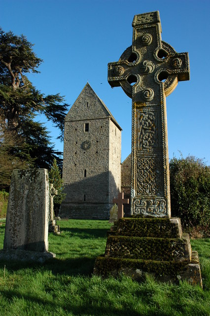
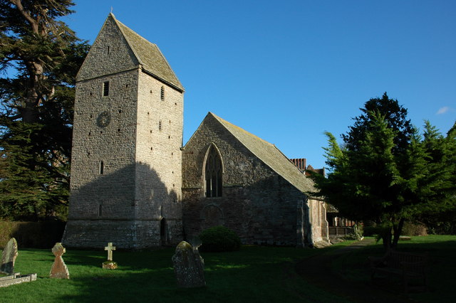
Church of St James, Kinnersley

The Church of St James is a Church of England parish church at Kinnersley in the English county of Herefordshire. It is a Grade I listed building. ��2...
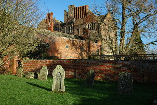
Kinnersley Castle

Kinnersley Castle in Herefordshire, England, is one of the many marches castles along the Welsh Borders. The Castle of Kinnersley, on the A4112 3 km (1...

Almeley

Almeley (pronounced ) is a village and civil parish in Herefordshire, England. The civil parish includes the hamlets of Almeley Wooton and Upcott. The...

Nearby Amenities

Located within 500m of 52.147028,-2.9679257
Post Box
Lat/Long: 52.1429367/-2.9692913
The data included in this document is from www.openstreetmap.org. The data is made available under ODbL.

Have you been to Bad Patch Wood?

Leave your review of Bad Patch Wood below (or comments, questions and feedback).