China Plantation

Wood, Forest in Lancashire South Lakeland

England

China Plantation

Forestry road in Lags Wood, Grizedale
Forestry road in Lags Wood, Grizedale Credit: Steven Brown

China Plantation is a picturesque woodland located in Lancashire, England. Spanning over a vast area, it is renowned for its dense foliage, diverse flora, and tranquil surroundings. The plantation is located in close proximity to the town of China, hence the name.

The lush greenery and towering trees in China Plantation create a serene ambience, attracting nature enthusiasts and hikers alike. The woodland is predominantly composed of deciduous trees, including oak, beech, and birch, which provide a rich canopy and vibrant colors throughout the seasons. This variety of trees also makes China Plantation an important habitat for numerous bird species, including woodpeckers and warblers.

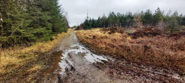
The plantation features well-maintained walking trails that meander through the forest, offering visitors a chance to explore its natural beauty. These trails are suitable for all levels of hikers and provide access to various viewpoints, allowing visitors to admire the stunning vistas and take in the fresh air.

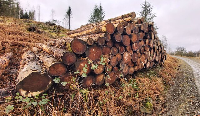
China Plantation is not only a haven for nature lovers but also serves as an important ecological site. The woodland contributes to the conservation of local biodiversity, providing a habitat for many woodland creatures, such as deer, foxes, and squirrels. The management of the plantation focuses on preserving the delicate balance of the ecosystem while ensuring public access and enjoyment.

Overall, China Plantation in Lancashire is a cherished woodland destination, offering a tranquil escape from the hustle and bustle of everyday life. Its natural beauty and rich biodiversity make it a must-visit for those seeking a serene and immersive experience in the heart of nature.

If you have any feedback on the listing, please let us know in the comments section below.

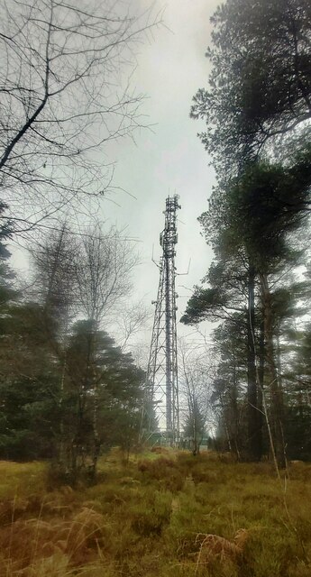
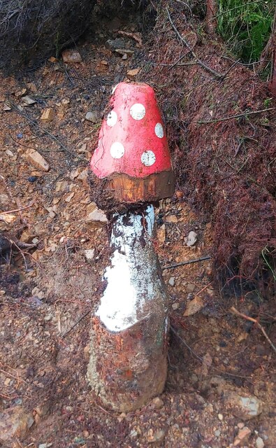
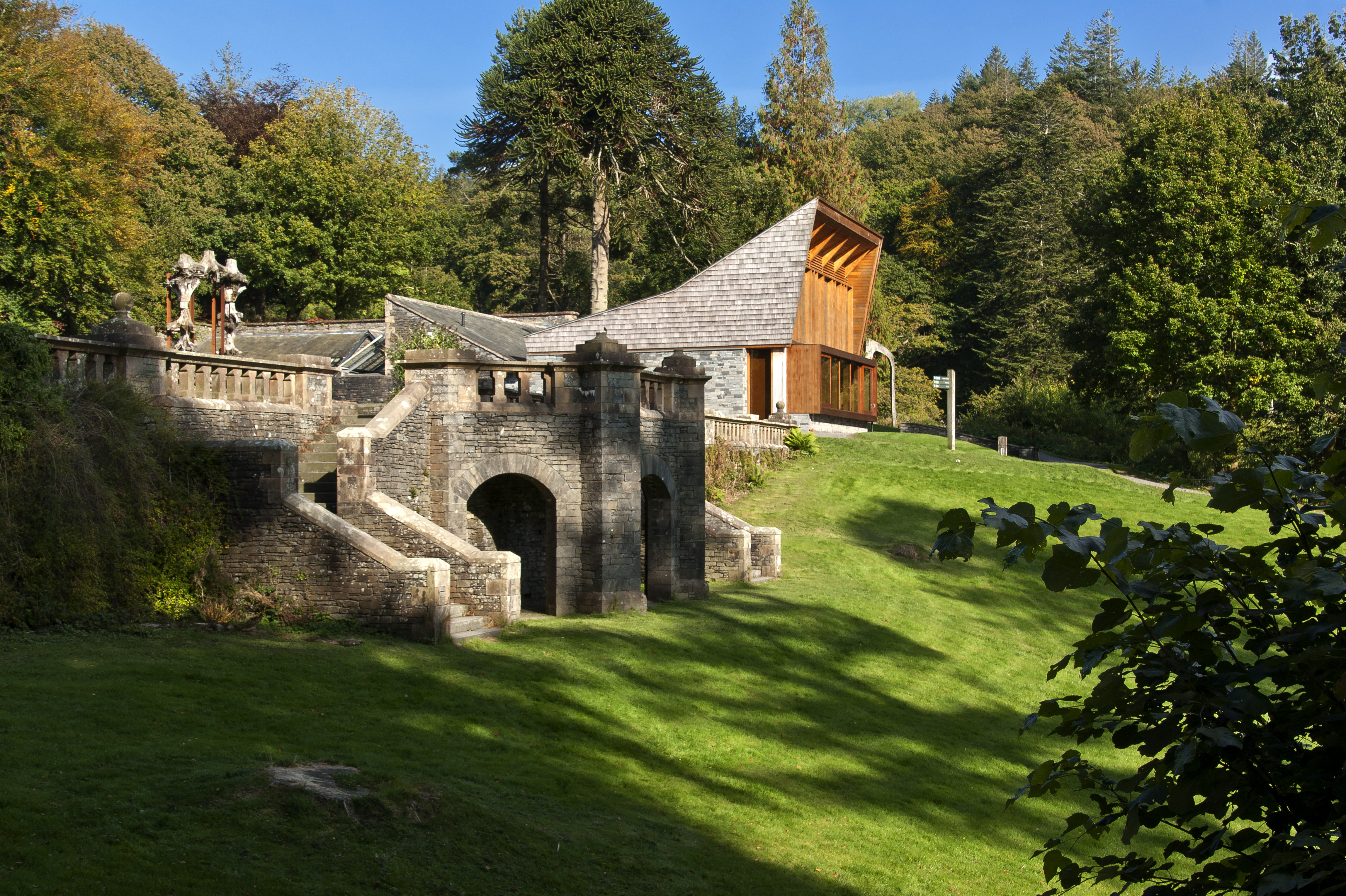
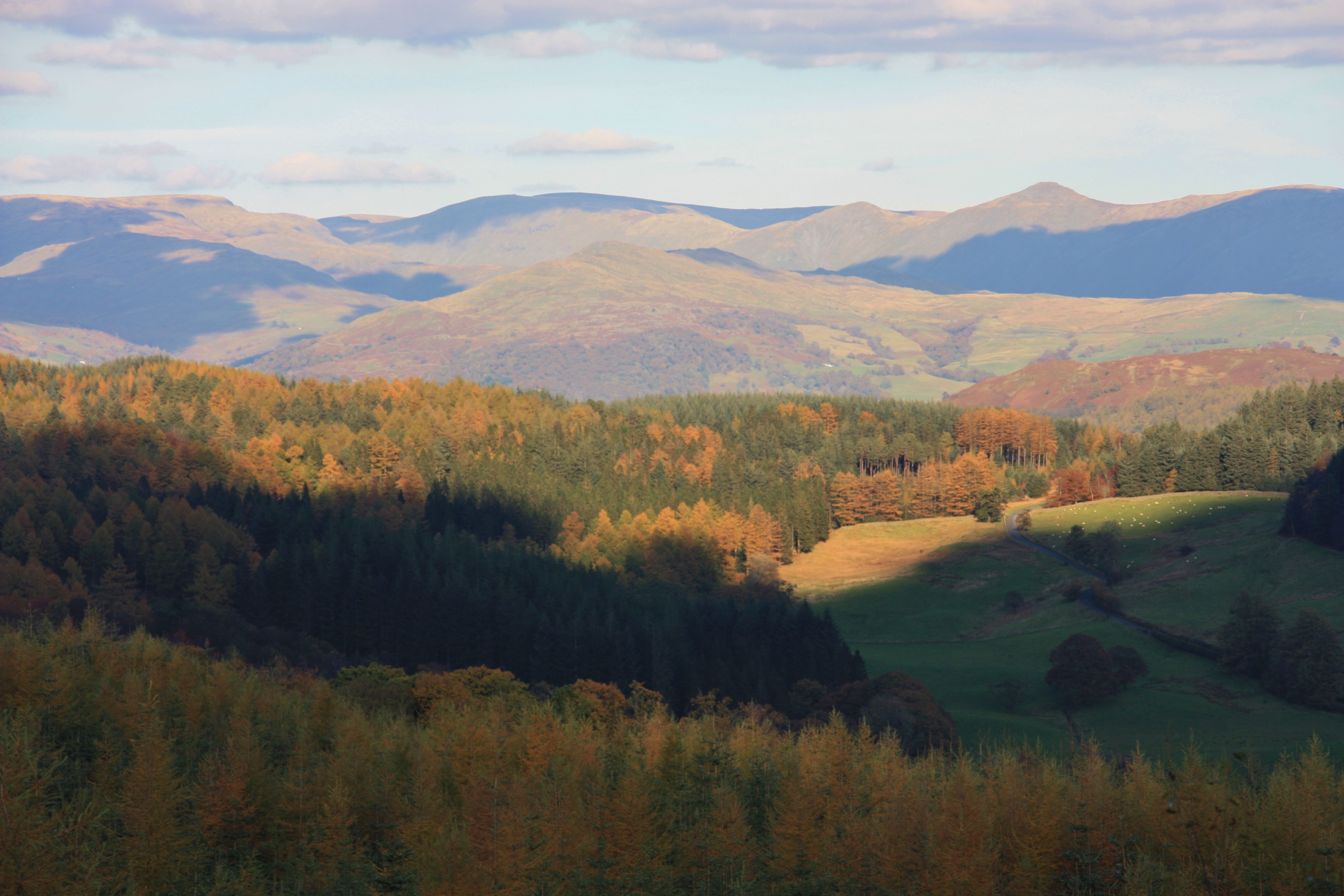
China Plantation Images

Images are sourced within 2km of 54.358641/-3.0271623 or Grid Reference SD3396. Thanks to Geograph Open Source API. All images are credited.

Forestry road in Lags Wood, Grizedale
Fallen drystone wall above Hawkshead
Junction at Low Park - Grizedale Forest
Goosey Foot Tarn - Grizedale Forest
Cleared Plantation - Grizedale Forest
Small pool in Grizedale Forest
Forest Road - Jack Gap Plantation
High Man Communications Tower
Boggy Area - Grizedale Forest
High Man Tarn
High Man Tarn
Wooden Toadstool Sculpture - Grizedale Forest
Path on Monk Coniston Moor
Logs at Low Park
Logs at Low Park
'Wriggle' Wriggle by Colin Rose
Sculpture in Grizedale Forest
'Wriggle'
Wriggle by Colin Rose Sculpture in Grizedale Forest
Rivet Benchmark on Footpath Near Grizedale Road Benchmark description here <span class="nowrap"><a title="https://www.bench-marks.org.uk/bm187906" rel="nofollow ugc noopener" href="https://www.bench-marks.org.uk/bm187906">Link</a><img style="margin-left:2px;" alt="External link" title="External link - shift click to open in new window" src="https://s1.geograph.org.uk/img/external.png" width="10" height="10"/></span>
Rivet Benchmark on Footpath Near Grizedale Road
Benchmark description here LinkExternal link
Benchmark on Gatepost, Grizedale Road Benchmark description here <span class="nowrap"><a title="https://www.bench-marks.org.uk/bm187908" rel="nofollow ugc noopener" href="https://www.bench-marks.org.uk/bm187908">Link</a><img style="margin-left:2px;" alt="External link" title="External link - shift click to open in new window" src="https://s1.geograph.org.uk/img/external.png" width="10" height="10"/></span>
Benchmark on Gatepost, Grizedale Road
Benchmark description here LinkExternal link
Benchmark on Gatepost, Grizedale Road Benchmark description here <span class="nowrap"><a title="https://www.bench-marks.org.uk/bm82387" rel="nofollow ugc noopener" href="https://www.bench-marks.org.uk/bm82387">Link</a><img style="margin-left:2px;" alt="External link" title="External link - shift click to open in new window" src="https://s1.geograph.org.uk/img/external.png" width="10" height="10"/></span>
Benchmark on Gatepost, Grizedale Road
Benchmark description here LinkExternal link
Benchmark on Gatepost at Moorgate, Grizedale Moor Benchmark description here <span class="nowrap"><a title="https://www.bench-marks.org.uk/bm92400" rel="nofollow ugc noopener" href="https://www.bench-marks.org.uk/bm92400">Link</a><img style="margin-left:2px;" alt="External link" title="External link - shift click to open in new window" src="https://s1.geograph.org.uk/img/external.png" width="10" height="10"/></span>
Benchmark on Gatepost at Moorgate, Grizedale Moor
Benchmark description here LinkExternal link
Show me another place!

China Plantation is located at Grid Ref: SD3396 (Lat: 54.358641, Lng: -3.0271623)

Administrative County: Cumbria

District: South Lakeland

Police Authority: Cumbria

What 3 Words

///mimic.pouting.flickers. Near Windermere, Cumbria

Related Wikis

Grizedale

Grizedale is a hamlet in the Lake District of North West England, in the middle of the Grizedale Forest, located north of Satterthwaite and south of Hawkshead...

Roger Ground

Roger Ground is a hamlet just south of the village of Hawkshead, in the South Lakeland district, in the English county of Cumbria. == References == Philip...

Grizedale Forest

Grizedale Forest is a 24.47 km2 area of woodland in the Lake District of North West England, located to the east of Coniston Water and to the south of...

Lawson Park

Lawson Park is a remote English Lake District hillfarm, leased by Grizedale Arts (a contemporary art commissioner) from the Forestry Commission. It is...

Nearby Amenities

Located within 500m of 54.358641,-3.0271623
Forkings of the Beck
Source: OS OpenData StreetView
Waterway: fork
Lat/Long: 54.3610108/-3.0274164
The data included in this document is from www.openstreetmap.org. The data is made available under ODbL.

Have you been to China Plantation?

Leave your review of China Plantation below (or comments, questions and feedback).