Oxenpark Moss
Wood, Forest in Lancashire South Lakeland
England
Oxenpark Moss
Oxenpark Moss is a woodland area located in the county of Lancashire, England. Spanning a vast expanse, it covers approximately X square kilometers. The moss is situated in the southern part of the county, near the town of Wood, and is a prominent feature of the local landscape.
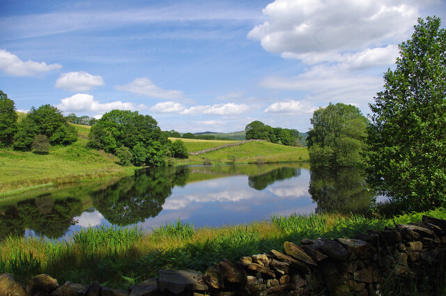
The moss is primarily composed of dense forest, characterized by a variety of tree species, including oak, beech, and birch. These trees create a lush and vibrant canopy, providing habitat and shelter for a diverse range of wildlife. The forest floor is covered with a thick layer of moss, which adds to the area's unique and enchanting atmosphere.
Oxenpark Moss is renowned for its natural beauty and tranquility. It attracts visitors from far and wide, who come to immerse themselves in the peaceful surroundings and explore the numerous walking trails that weave through the forest. These trails offer opportunities for outdoor activities such as hiking, birdwatching, and photography.
The moss has a rich history, with evidence of human activity dating back centuries. It has played a significant role in the local community, providing resources such as timber and game. Today, it continues to be a valuable asset, not only for its ecological importance but also for its recreational and cultural value.
In conclusion, Oxenpark Moss is a picturesque woodland area in Lancashire, characterized by its dense forest, diverse wildlife, and tranquil atmosphere. It is a haven for nature enthusiasts and offers a wealth of opportunities for outdoor exploration and relaxation.
If you have any feedback on the listing, please let us know in the comments section below.
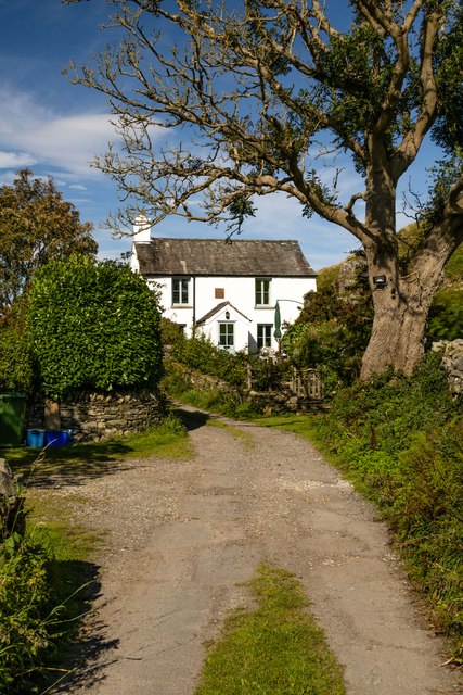
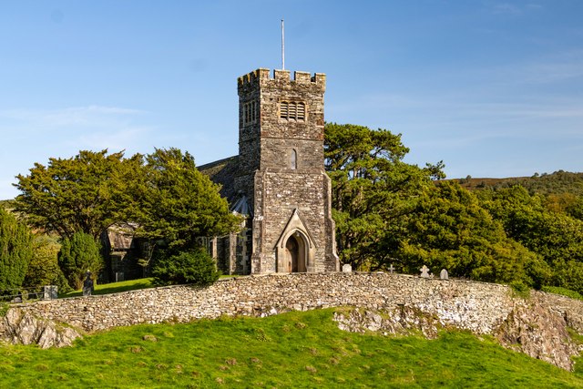
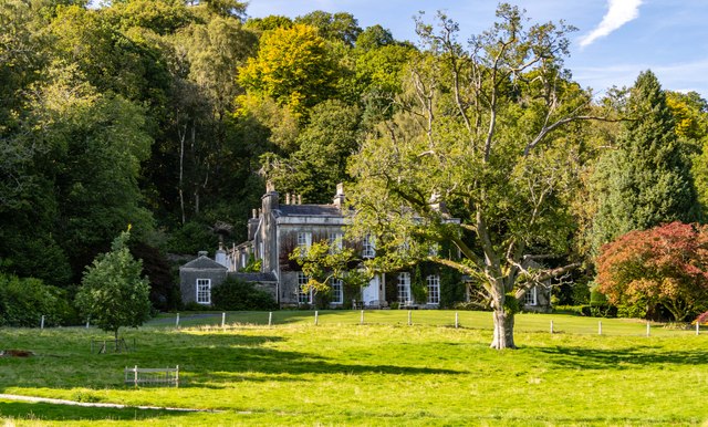
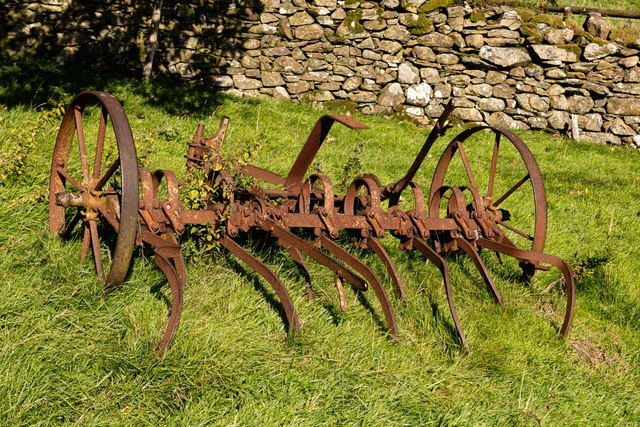
Oxenpark Moss Images
Images are sourced within 2km of 54.287779/-3.026596 or Grid Reference SD3388. Thanks to Geograph Open Source API. All images are credited.


Oxenpark Moss is located at Grid Ref: SD3388 (Lat: 54.287779, Lng: -3.026596)
Administrative County: Cumbria
District: South Lakeland
Police Authority: Cumbria
What 3 Words
///decay.sticking.insolvent. Near Ulverston, Cumbria
Nearby Locations
Related Wikis
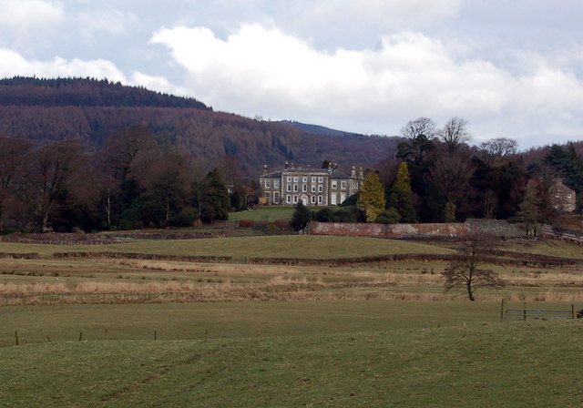
Rusland Hall
Rusland Hall is a country house in the English Lake District. The present building dates from about 1720. The Hall was owned by the Rawlinson family in...

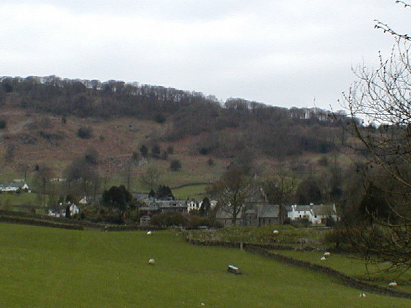
Rusland, Cumbria
Rusland is a village in the South Lakeland district of Cumbria, England. It is located just to the southwest of Crosslands in the civil parish of Colton...

Crosslands
Crosslands is a hamlet in the South Lakeland district of Cumbria, England. It is located just to the northeast of Rusland in the civil parish of Colton...

Oxen Park
Oxen Park is a hamlet in the English county of Cumbria. Oxen Park lies on the watershed between Rusland and Colton Beck valleys in South Lakeland, and...

North Lonsdale Rural District
North Lonsdale was a rural district in the county of Lancashire, England from 1894 to 1974. It was created in 1894 as the Ulverston Rural District, and...

Holy Trinity Church, Colton
Holy Trinity Church is located to the east of the village of Colton, Cumbria, England. It is an active Anglican parish church in the deanery of Furness...
Finsthwaite Heights
Finsthwaite Heights is an upland area in the English Lake District, above Finsthwaite, Cumbria. It is the subject of a chapter of Wainwright's book The...

Satterthwaite & Rusland School
Satterthwaite & Rusland School was a Church of England Primary school near Force Forge in the Rusland Valley. The school was established in 1840 for children...
Nearby Amenities
Located within 500m of 54.287779,-3.026596Have you been to Oxenpark Moss?
Leave your review of Oxenpark Moss below (or comments, questions and feedback).