Birches Wood

Wood, Forest in Herefordshire

England

Birches Wood

The lane near Willey Lodge looking north
The lane near Willey Lodge Credit: Andrew Longton

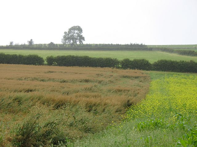
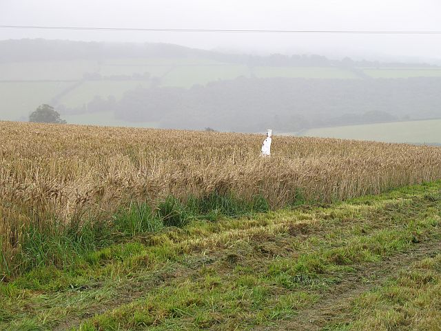
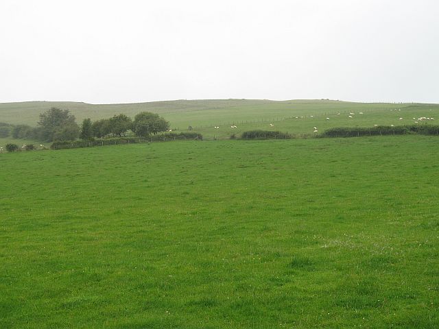
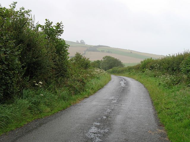
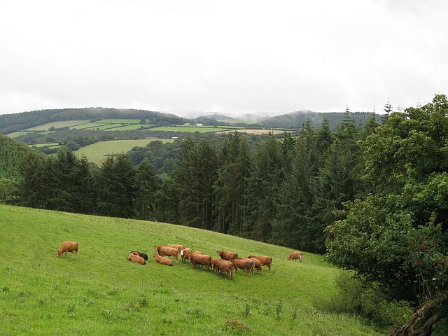
Birches Wood is a picturesque forest located in Herefordshire, England. Covering an area of approximately 100 acres, it is known for its enchanting beauty and diverse range of plant and animal species. The wood is predominantly composed of birch trees, hence its name, but also features a mix of other deciduous trees such as oak and beech.

The wood is a popular destination for nature enthusiasts and hikers, offering a peaceful and serene environment to explore. Its well-maintained trails wind through the forest, allowing visitors to immerse themselves in the natural surroundings and enjoy the sights and sounds of the woodland.

In addition to its abundant flora, Birches Wood is home to a variety of wildlife. It provides a habitat for numerous bird species, including woodpeckers, owls, and various songbirds. Small mammals like squirrels, foxes, and badgers can also be spotted in the area.

The wood has a rich history and has been preserved for its cultural and ecological significance. It has been acknowledged as a Site of Special Scientific Interest (SSSI) due to its exceptional biological and geological features. Conservation efforts have been made to protect and maintain the wood's unique ecosystem.

Birches Wood offers a tranquil escape from the bustling city life, providing visitors with an opportunity to reconnect with nature and appreciate the beauty of the English countryside. Whether it's a leisurely stroll or a bird-watching expedition, this forest is a haven for those seeking a peaceful retreat in Herefordshire.

If you have any feedback on the listing, please let us know in the comments section below.
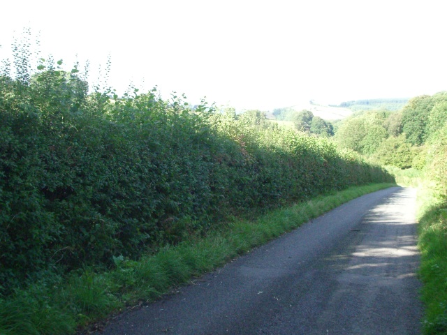
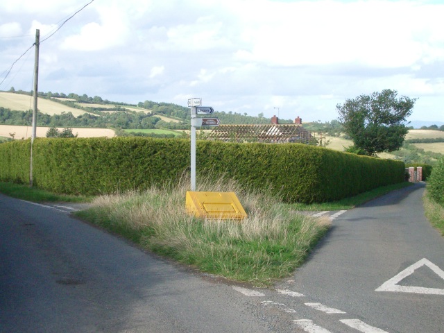
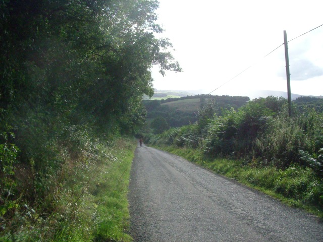
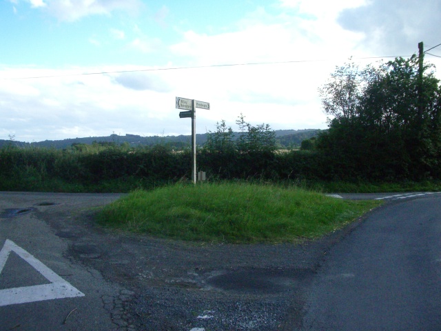
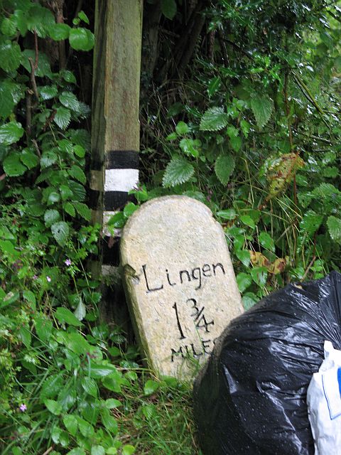
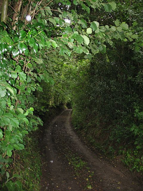
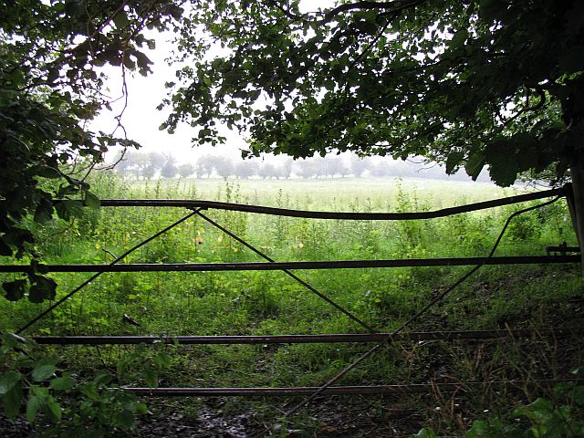
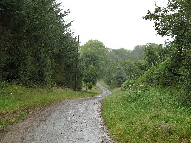
Birches Wood Images

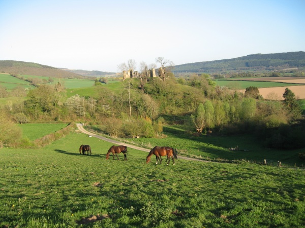
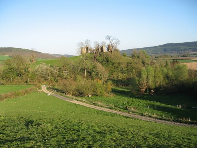
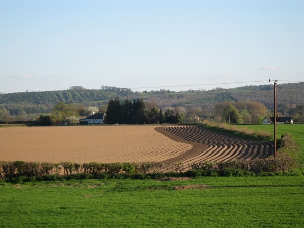
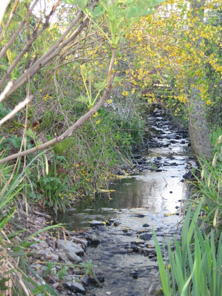
Images are sourced within 2km of 52.296849/-2.9819823 or Grid Reference SO3366. Thanks to Geograph Open Source API. All images are credited.

The lane near Willey Lodge looking north
The lane near Willey Lodge
looking north
Hillside near Old Hall
Road junction at Willey Oak looking north east
Road junction at Willey Oak
looking north east
The lane between Stapleton Hill and Stapleton looking south-west
The lane between Stapleton Hill and Stapleton
looking south-west
The turning for Stapleton (left) just north of Presteigne looking south
The turning for Stapleton (left) just north of Presteigne
looking south
Stapleton Castle, Herefordshire
Stapleton Castle ruins Guarding the English border one mile into England opposite Presteigne (Powys)
Stapleton Castle ruins
Guarding the English border one mile into England opposite Presteigne (Powys)
Ploughed Field on Spring Evening Between Stapleton and Presteigne
Ploughed Field on Spring Evening
Between Stapleton and Presteigne
Tiny stream At the foot of the motte, Stapleton Castle
Tiny stream
At the foot of the motte, Stapleton Castle
Milestone, Lower House "Unofficial" milestone at the end of the driveway to Lower House.
Milestone, Lower House
"Unofficial" milestone at the end of the driveway to Lower House.
Wooded lane, Lower House Overshadowed road to Lower House and Brierley Hill.
Wooded lane, Lower House
Overshadowed road to Lower House and Brierley Hill.
Gateway near Lower House Somewhat overgrown gateway leading to sheep pasture. The heavy rainfall has led to increased plant growth. The combination of the Summer greenery and mud and water more commonly found in the Winter months is somewhat unsettling.
Gateway near Lower House
Somewhat overgrown gateway leading to sheep pasture. The heavy rainfall has led to increased plant growth. The combination of the Summer greenery and mud and water more commonly found in the Winter months is somewhat unsettling.
Upper House Road past the farm of Upper House to Brierley Hill on Harley Mountain.
Upper House
Road past the farm of Upper House to Brierley Hill on Harley Mountain.
Upper House Crops near Upper House on Harley's Mountain. Harley's Mountain is no longer a mountain, having been ploughed and is now improved agricultural land. The name suggests that this was once rough grazing or moorland.
Upper House
Crops near Upper House on Harley's Mountain. Harley's Mountain is no longer a mountain, having been ploughed and is now improved agricultural land. The name suggests that this was once rough grazing or moorland.
Scarecrow, Willey Guarding a wheat field.
Scarecrow, Willey
Guarding a wheat field.
The Warren High farmland, Willey. The England - Wales border runs along the skyline. This is the scene of one of the first wind power protests. There has been no development since.
The Warren
High farmland, Willey. The England - Wales border runs along the skyline. This is the scene of one of the first wind power protests. There has been no development since.
Road from Lingen Road up from Lingen to Stonewall Hill, Willey.
Road from Lingen
Road up from Lingen to Stonewall Hill, Willey.
Near Goat House The Herefordshire side of the Stonewall Hill road. Cattle graze amongst small woods.
Near Goat House
The Herefordshire side of the Stonewall Hill road. Cattle graze amongst small woods.
Show me another place!

Birches Wood is located at Grid Ref: SO3366 (Lat: 52.296849, Lng: -2.9819823)

Unitary Authority: County of Herefordshire

Police Authority: West Mercia

What 3 Words

///shook.tailwind.vibe. Near Presteigne, Powys

Related Wikis

Stapleton, Herefordshire

Stapleton is a small village and civil parish in Herefordshire near the border town of Presteigne in Wales. The parish borders on Willey, Kinsham and Presteigne...

Willey, Herefordshire

Willey is a civil parish in Herefordshire, on the Welsh-English borders. The main source of employment is farming and there were a total of 61 residents...

St Andrew's Church, Presteigne

St Andrew's Church is a Church of England parish church in Presteigne, Powys, Wales. It was first constructed in the 9th century by the Anglo-Saxons and...

Norton, Powys

Norton is a village in Powys within the historic boundaries of Radnorshire, Wales. In 1086, Norton was recorded as a settlement within the hundred of Leintwardine...

Nearby Amenities

Located within 500m of 52.296849,-2.9819823
Building: yes
Lat/Long: 52.2958523/-2.9759176
Building: yes
Lat/Long: 52.2964559/-2.9748876
The data included in this document is from www.openstreetmap.org. The data is made available under ODbL.

Have you been to Birches Wood?

Leave your review of Birches Wood below (or comments, questions and feedback).