Higher Folly Mead Coppice
Wood, Forest in Dorset East Devon
England
Higher Folly Mead Coppice

Higher Folly Mead Coppice, located in Dorset, is a charming woodland area that captivates visitors with its natural beauty and serenity. Covering an area of approximately 40 acres, this ancient coppice woodland is a haven for wildlife and a popular destination for nature enthusiasts.
The woodland is predominantly composed of oak and hazel trees, with an undergrowth of bluebells, wild garlic, and ferns that create a picturesque setting. The trees, some of which are several centuries old, provide a dense canopy that offers shade and shelter for a variety of wildlife species.
Higher Folly Mead Coppice is home to a diverse range of flora and fauna. Birdwatchers can spot species such as woodpeckers, tawny owls, and various songbirds throughout the year. The woodland also supports a variety of mammals, including deer, foxes, and badgers, which can occasionally be observed by lucky visitors.
The coppice, which has been managed sustainably for centuries, is an important habitat for many rare and endangered species. Conservation efforts in the area aim to protect and enhance the biodiversity of the woodland, ensuring its long-term survival.
Visitors to Higher Folly Mead Coppice can enjoy peaceful walks along well-maintained paths, immersing themselves in the tranquility of nature. The woodland also offers opportunities for photography, picnicking, and nature studies. Interpretative signs and information boards are placed strategically throughout the site, providing educational insights into the woodland's history and ecology.
Overall, Higher Folly Mead Coppice is a hidden gem in Dorset, offering a serene escape from the hustle and bustle of everyday life and a chance to appreciate the wonders of the natural world.
If you have any feedback on the listing, please let us know in the comments section below.
Higher Folly Mead Coppice Images
Images are sourced within 2km of 50.793577/-2.9511426 or Grid Reference SY3399. Thanks to Geograph Open Source API. All images are credited.


Higher Folly Mead Coppice is located at Grid Ref: SY3399 (Lat: 50.793577, Lng: -2.9511426)
Administrative County: Devon
District: East Devon
Police Authority: Devon and Cornwall
What 3 Words
///defend.comments.obstinate. Near Axminster, Devon
Nearby Locations
Related Wikis

Hawkchurch
Hawkchurch is a village and civil parish in Devon, England, 3 miles (5 km) north east of Axminster on the border of Devon and Dorset, and about 6 miles...

Blackwater River (River Axe)
The Blackwater River is a 10-kilometre (6.2 mi) long river in the counties of Dorset and Devon, in the south-west of England. It rises to the north of...

Axminster Town A.F.C.
Axminster Town Association Football Club is a football club based in Axminster, Devon, England. They are currently members of the South West Peninsula...

All Saints, Devon
All Saints is a civil parish in East Devon, Devon, England. It has a population of 498 according to the 2001 census. The parish includes the hamlets...
Smallridge
Smallridge is a large hamlet in All Saints parish in the East Devon district of Devon, England. The hamlet is situated about 1 mile north of the town of...

Axe Valley Academy
Axe Valley Academy, previously known as The Axe Valley Community College, is a coeducational secondary school and sixth form located in Axminster, Devon...
Alston, East Devon
Alston is a hamlet in Devon, England. == References ==
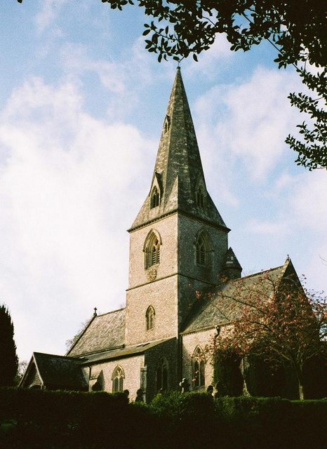
St Andrew's Church, Monkton Wyld
St Andrew's Church is a Church of England church in Monkton Wyld, Dorset, England. It was built in 1848–49 to the designs of Richard Cromwell Carpenter...
Nearby Amenities
Located within 500m of 50.793577,-2.9511426Have you been to Higher Folly Mead Coppice?
Leave your review of Higher Folly Mead Coppice below (or comments, questions and feedback).