Big Plantation
Wood, Forest in Lancashire South Lakeland
England
Big Plantation

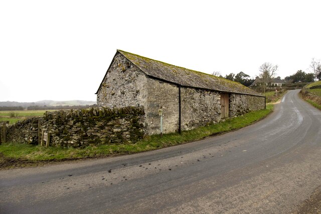
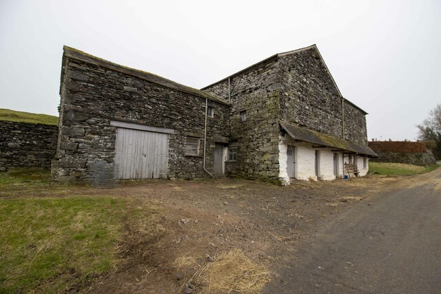
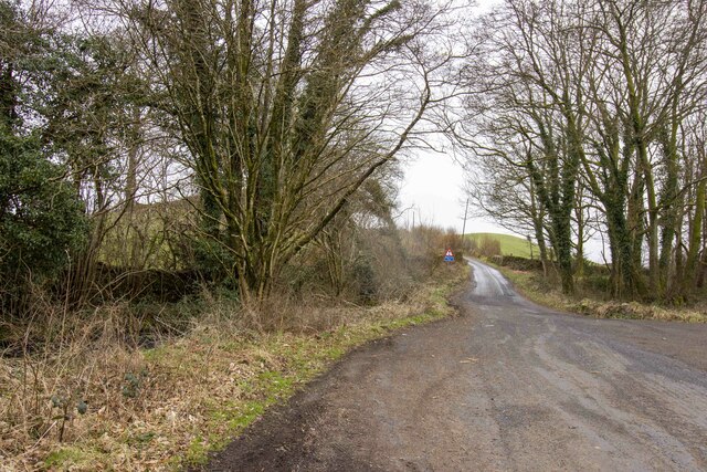
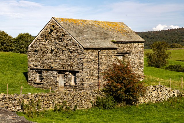
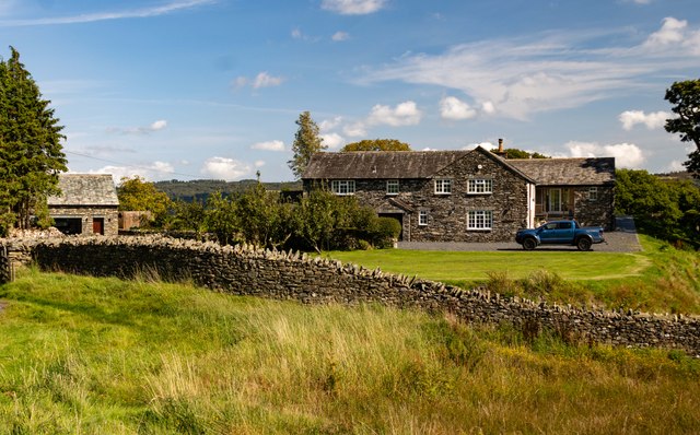
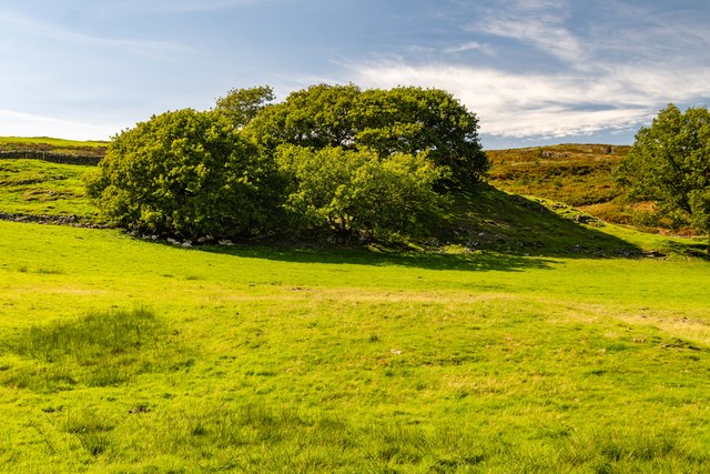
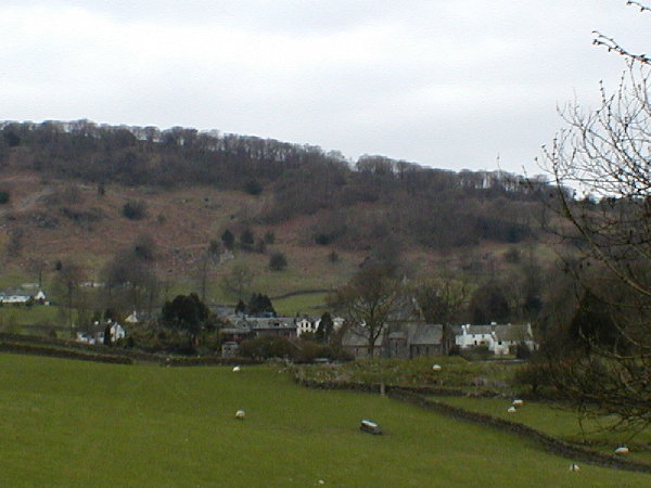
Big Plantation is a picturesque woodland located in the county of Lancashire, England. Situated near the town of Wood, the plantation covers a vast area with dense and lush forest. The serene and tranquil environment of Big Plantation makes it a popular destination for nature enthusiasts, hikers, and wildlife lovers.
The plantation is home to a diverse range of plant species, including tall and majestic oak trees, beech trees, and birch trees that provide a vibrant and colorful canopy. The forest floor is covered with a thick carpet of moss and ferns, creating a beautiful and enchanting atmosphere.
Wildlife thrives in the Big Plantation, making it a haven for animal lovers. Visitors may catch glimpses of various bird species, including woodpeckers, owls, and rare migratory birds. Squirrels, rabbits, and deer are also commonly spotted, adding to the charm and natural beauty of the woodland.
Trails and pathways wind through the plantation, offering visitors the opportunity to explore and discover the hidden treasures of the forest. These paths are well-maintained, providing easy access for walkers and hikers of all levels of experience.
Big Plantation has also been designated as a nature reserve, ensuring the preservation of its unique ecosystem. The management of the plantation focuses on sustainable practices and conservation efforts to maintain the delicate balance between human activity and the natural environment.
Overall, Big Plantation in Lancashire is a captivating destination for those seeking tranquility, natural beauty, and a chance to immerse themselves in the wonders of a thriving woodland ecosystem.
If you have any feedback on the listing, please let us know in the comments section below.
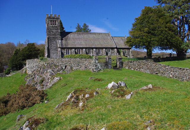
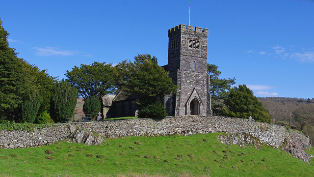
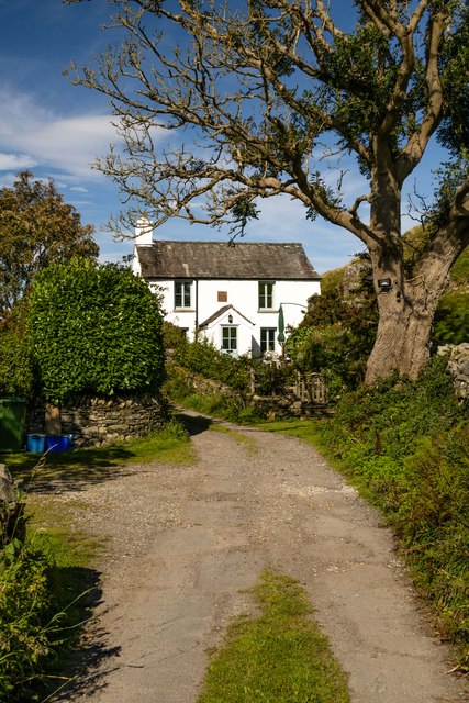
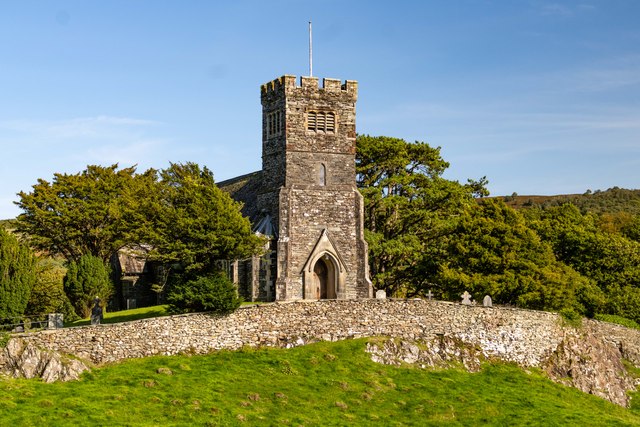
Big Plantation Images
Images are sourced within 2km of 54.294039/-3.0312536 or Grid Reference SD3289. Thanks to Geograph Open Source API. All images are credited.


Big Plantation is located at Grid Ref: SD3289 (Lat: 54.294039, Lng: -3.0312536)
Administrative County: Cumbria
District: South Lakeland
Police Authority: Cumbria
What 3 Words
///flitting.forkful.ethic. Near Ulverston, Cumbria
Nearby Locations
Related Wikis
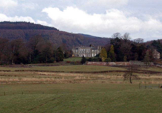
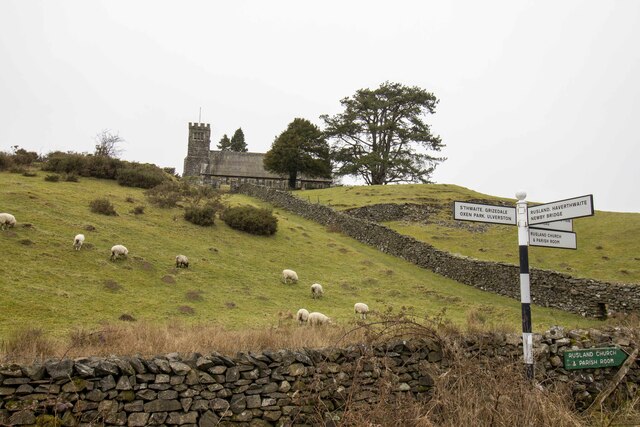
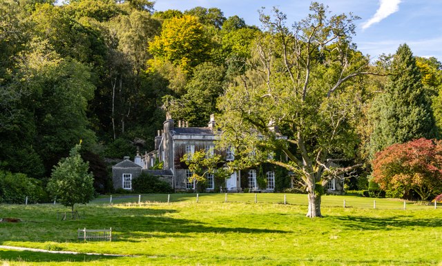
Rusland Hall
Rusland Hall is a country house in the English Lake District. The present building dates from about 1720. The Hall was owned by the Rawlinson family in...

Crosslands
Crosslands is a hamlet in the South Lakeland district of Cumbria, England. It is located just to the northeast of Rusland in the civil parish of Colton...

Rusland, Cumbria
Rusland is a village in the South Lakeland district of Cumbria, England. It is located just to the southwest of Crosslands in the civil parish of Colton...

North Lonsdale Rural District
North Lonsdale was a rural district in the county of Lancashire, England from 1894 to 1974. It was created in 1894 as the Ulverston Rural District, and...

Oxen Park
Oxen Park is a hamlet in the English county of Cumbria. Oxen Park lies on the watershed between Rusland and Colton Beck valleys in South Lakeland, and...

Satterthwaite & Rusland School
Satterthwaite & Rusland School was a Church of England Primary school near Force Forge in the Rusland Valley. The school was established in 1840 for children...

Bandrake Head
Bandrake Head is a village in Cumbria, England. == External links == Media related to Bandrake Head at Wikimedia Commons
Finsthwaite Heights
Finsthwaite Heights is an upland area in the English Lake District, above Finsthwaite, Cumbria. It is the subject of a chapter of Wainwright's book The...
Nearby Amenities
Located within 500m of 54.294039,-3.0312536Have you been to Big Plantation?
Leave your review of Big Plantation below (or comments, questions and feedback).