Bens Gorse
Wood, Forest in Lancashire
England
Bens Gorse

Bens Gorse, located in Lancashire, is a beautiful wood or forest area that offers a serene and tranquil environment for nature enthusiasts and outdoor adventurers alike. Spanning a vast expanse of land, it is a popular destination for locals and tourists seeking to immerse themselves in the natural beauty of this region.
The wood is characterized by its dense and diverse vegetation, consisting of a mixture of deciduous and coniferous trees. The towering trees provide a lush canopy, allowing sunlight to filter through and create a mesmerizing play of light and shade on the forest floor. The vibrant colors of the changing leaves during autumn attract visitors from far and wide, making it a picturesque sight to behold.
Bens Gorse is home to a wide variety of wildlife, including numerous bird species, small mammals, and insects. Birdwatchers can spot a range of bird species, such as woodpeckers, owls, and thrushes, while nature enthusiasts can observe squirrels, rabbits, and other small creatures in their natural habitat.
The wood offers a network of well-maintained trails, making it ideal for hiking, walking, and nature photography. Visitors can enjoy leisurely strolls along the winding paths, taking in the sights and sounds of the woodland. The peaceful ambiance provides an opportunity for individuals to reconnect with nature and escape the hustle and bustle of everyday life.
In summary, Bens Gorse in Lancashire is a captivating wood or forest area that offers a rich and diverse ecosystem. With its stunning scenery, abundant wildlife, and well-maintained trails, it provides a perfect retreat for those seeking solace in nature.
If you have any feedback on the listing, please let us know in the comments section below.
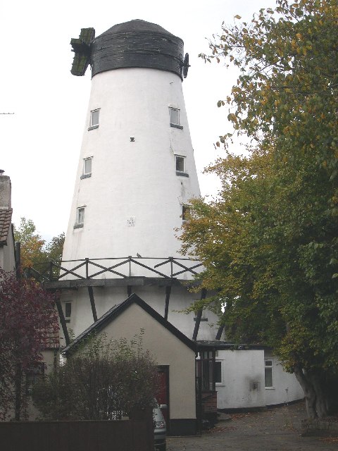
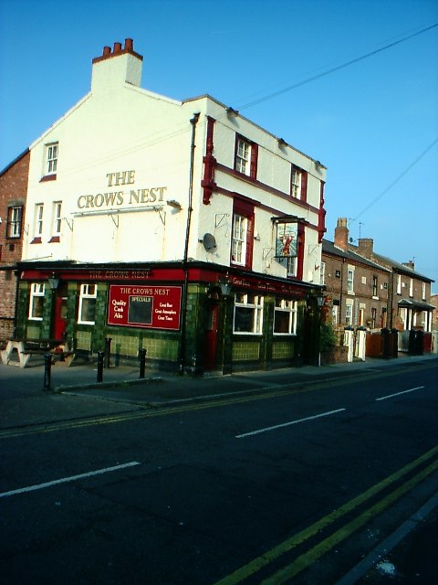
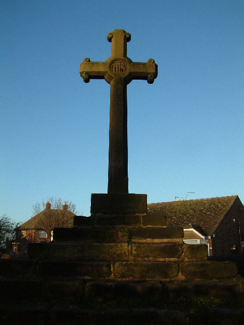
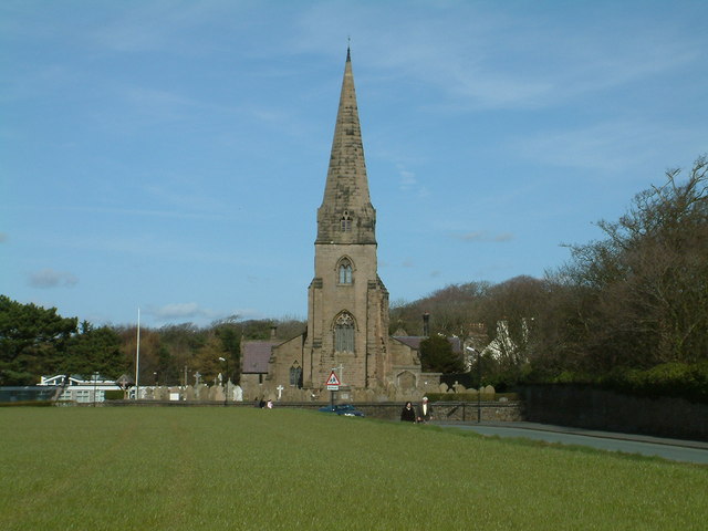
Bens Gorse Images
Images are sourced within 2km of 53.50796/-3.0180096 or Grid Reference SD3201. Thanks to Geograph Open Source API. All images are credited.


Bens Gorse is located at Grid Ref: SD3201 (Lat: 53.50796, Lng: -3.0180096)
Unitary Authority: Sefton
Police Authority: Merseyside
What 3 Words
///engage.importing.router. Near Thornton, Merseyside
Related Wikis

Crosby Hall, Merseyside
Crosby Hall is situated in the ancient manor of Little Crosby, formerly in Lancashire. Close to the city of Liverpool in the modern county of Merseyside...
Little Crosby
Little Crosby is a small village in the Sefton district of Merseyside, England. Despite being within 8 miles of Liverpool it has retained its rural character...

St Mary's Church, Presbytery and Convent, Little Crosby
St Mary's Church, Presbytery and Convent are in Back Lane, Little Crosby, Sefton, Merseyside, England. The church is an active Roman Catholic parish church...
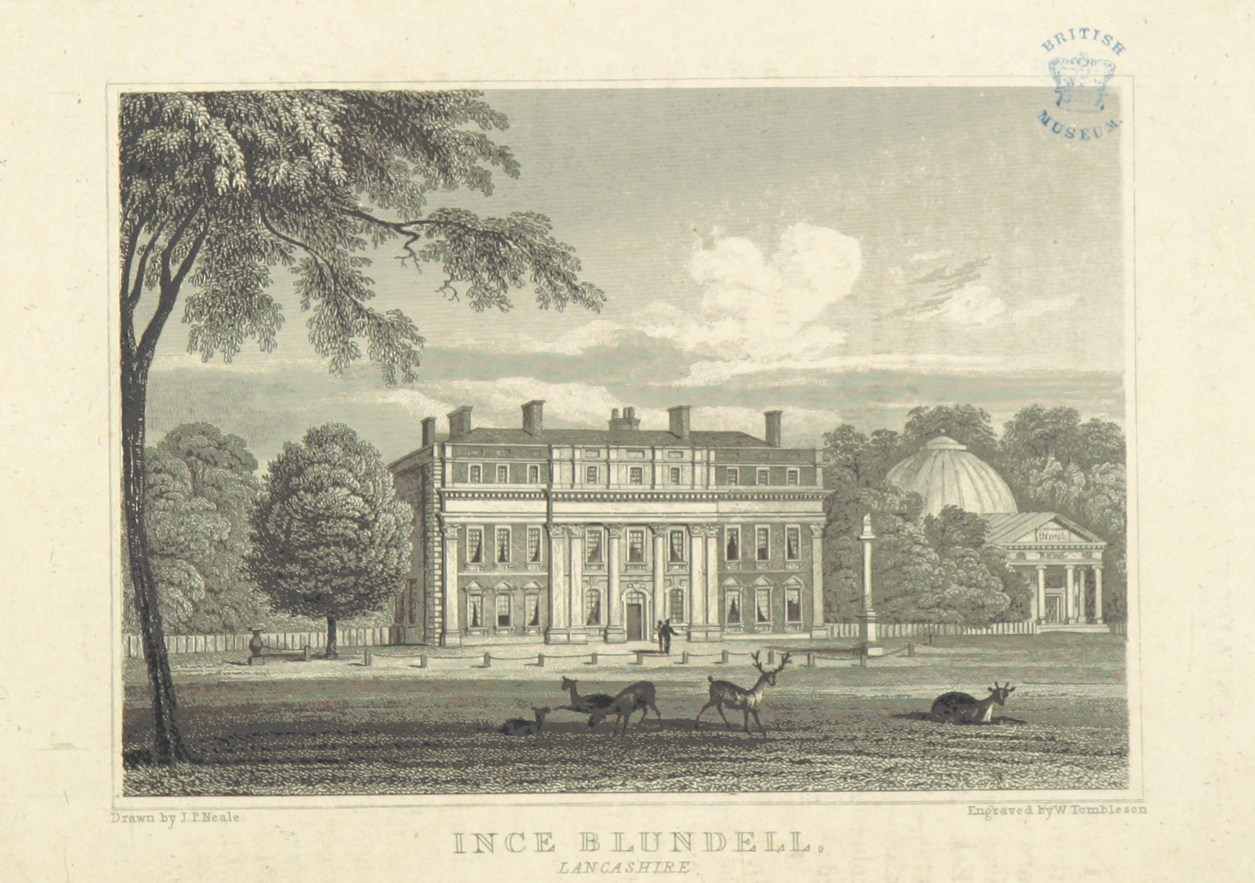
Ince Blundell Hall
Ince Blundell Hall is a former country house near the village of Ince Blundell, in the Metropolitan Borough of Sefton, Merseyside, England. It was built...

Moor Park, Crosby
Moor Park is a residential area of Crosby in Merseyside. Initially developed in the early years of the twentieth century, it is situated on the northern...
Church of the Holy Family, Ince Blundell
The Church of the Holy Family is attached to the service wing of Ince Blundell Hall, near the village of Ince Blundell, Sefton, Merseyside, England. It...

Thornton, Merseyside
Thornton is a village in the Metropolitan Borough of Sefton, in Merseyside, England. Within the boundaries of the historic county of Lancashire and situated...
St Michael's Church of England High School, Crosby
St Michael's Church of England High School (formerly known as Manor High School) is a secondary school and sixth form located in Crosby, Merseyside, England...
Nearby Amenities
Located within 500m of 53.50796,-3.0180096Have you been to Bens Gorse?
Leave your review of Bens Gorse below (or comments, questions and feedback).