Berry's Wood
Wood, Forest in Herefordshire
England
Berry's Wood

Berry's Wood is a picturesque woodland located in Herefordshire, England. Covering an area of approximately 100 acres, it is a captivating destination for nature enthusiasts and those seeking tranquility amidst the beauty of the countryside.
The wood is characterized by its diverse range of tree species, including oak, beech, ash, and birch. These towering trees create a dense canopy that filters sunlight, creating a unique and enchanting atmosphere. The woodland floor is adorned with a rich carpet of wildflowers, such as bluebells and primroses, adding vibrant bursts of color to the landscape.
Berry's Wood is home to a variety of wildlife, making it a haven for nature lovers. Visitors may spot a plethora of bird species, including woodpeckers, owls, and thrushes. The woodland is also inhabited by small mammals such as foxes, badgers, and squirrels, which can be observed scurrying through the undergrowth.
The wood offers a network of well-maintained trails, allowing visitors to explore its beauty at their own pace. These paths wind their way through the trees, leading to hidden clearings and peaceful groves. The captivating sights and sounds of nature surround visitors, creating a serene and immersive experience.
Berry's Wood is a popular destination for outdoor activities such as hiking, birdwatching, and photography. Its natural beauty and tranquil atmosphere make it an ideal spot for those seeking solace and a connection with nature. Whether one is a seasoned nature enthusiast or simply looking for a peaceful retreat, Berry's Wood is a destination that promises to captivate and inspire.
If you have any feedback on the listing, please let us know in the comments section below.
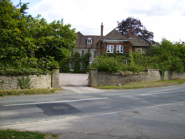
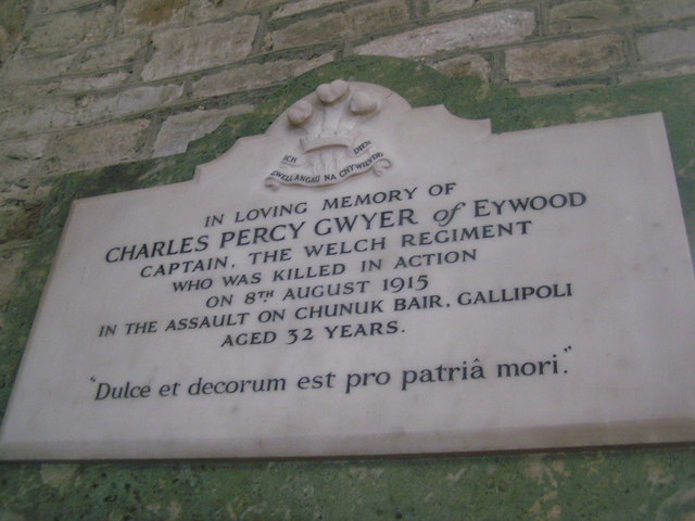
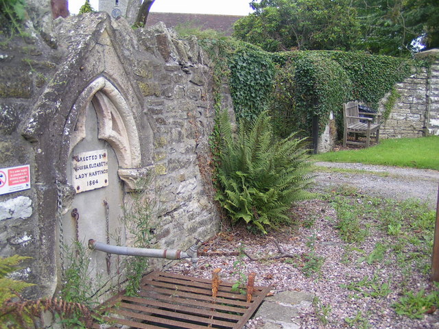
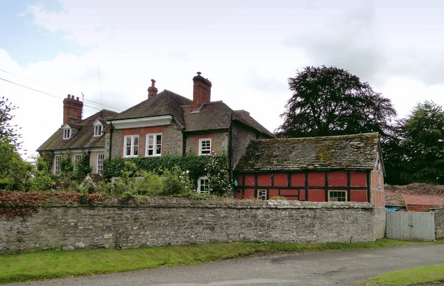
Berry's Wood Images
Images are sourced within 2km of 52.22092/-2.9909339 or Grid Reference SO3258. Thanks to Geograph Open Source API. All images are credited.


Berry's Wood is located at Grid Ref: SO3258 (Lat: 52.22092, Lng: -2.9909339)
Unitary Authority: County of Herefordshire
Police Authority: West Mercia
What 3 Words
///poster.homelands.community. Near Kington, Herefordshire
Nearby Locations
Related Wikis
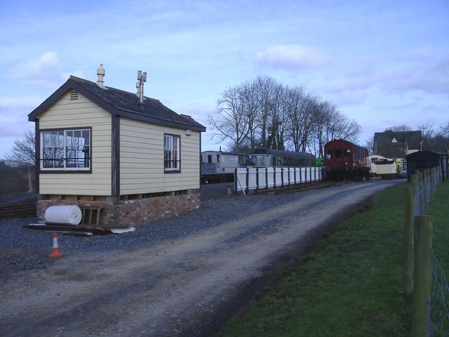
Titley Junction railway station
Titley Junction railway station was a station in Titley, Herefordshire, England. The station was located nearly two miles south of Titley village. The...

Titley Pool
Titley Pool is a lake in Herefordshire, England. It is situated at Titley, 3 kilometres (1.9 mi) north west of the town of Kington. It is a naturally...
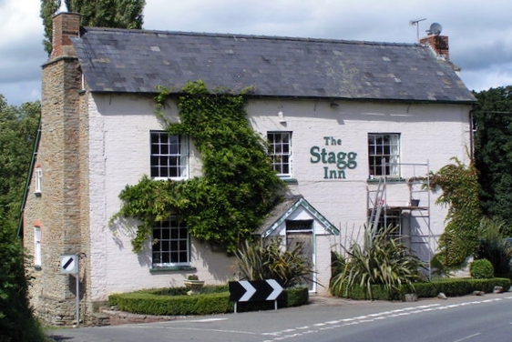
The Stagg Inn
The Stagg Inn is a restaurant located in Titley, Herefordshire, England. As of 2015, the restaurant holds one star in the Michelin Guide. The Stagg was...
Titley, Herefordshire
Titley is a village and civil parish in Herefordshire, England. It lies on the B4355 between Kington and Presteigne. In the 2001 census the parish had...
Titley Priory
Titley Priory was a priory near Titley in Herefordshire, England at grid reference SO32966011. == References ==
Rushock, Herefordshire
Rushock is a small village in Herefordshire, England. It lies about 1 mile north-east of Kington. The population of the civil parish was 131 at the 2011...
Penrhos, Herefordshire
Penrhos is an area or hamlet at the top of the hill east of Kington, Herefordshire near the Welsh border. The name is derived from the Welsh words pen...
Forge Crossing Halt railway station
Forge Crossing Halt railway station was a station in Titley, Herefordshire, England. The station, on the Presteigne Branch Line of the Leominster and Kington...
Nearby Amenities
Located within 500m of 52.22092,-2.9909339Have you been to Berry's Wood?
Leave your review of Berry's Wood below (or comments, questions and feedback).