Atkinson Ground Coppice
Wood, Forest in Lancashire South Lakeland
England
Atkinson Ground Coppice
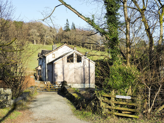
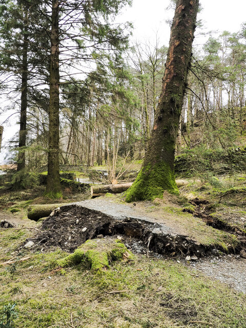
Atkinson Ground Coppice, located in Lancashire, is a picturesque woodland area known for its rich biodiversity and natural beauty. Covering a vast area, the coppice serves as a significant habitat for various plant and animal species, making it an ideal destination for nature enthusiasts and wildlife lovers.
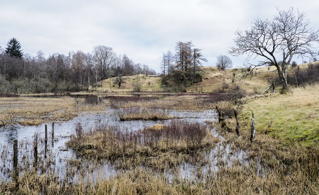
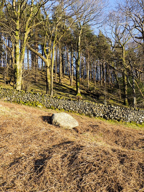
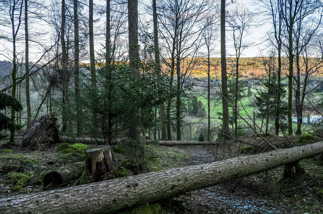
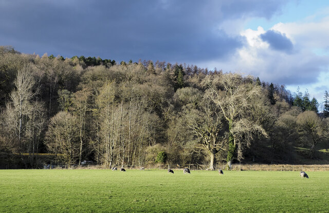
The woodland consists of a mix of deciduous and evergreen trees, such as oak, birch, beech, and conifers, creating a diverse and vibrant ecosystem. The dense canopy provides ample shade and shelter for a wide range of flora and fauna, including rare and endangered species. The forest floor boasts an array of wildflowers, ferns, and mosses, adding to the enchanting ambiance of the area.
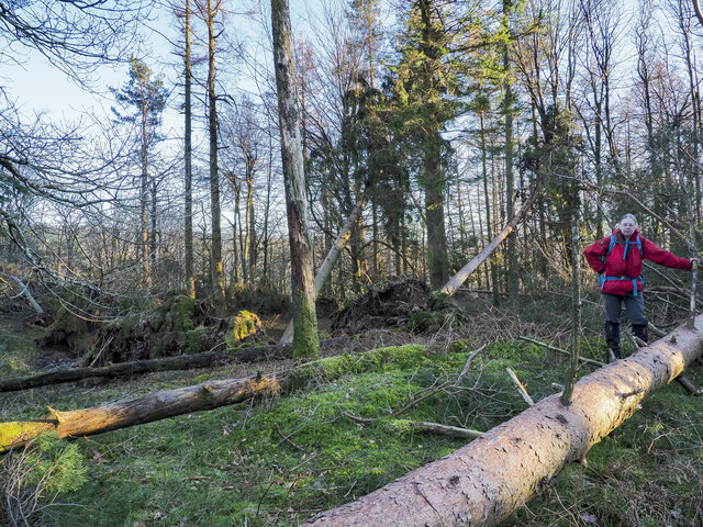
Visitors to Atkinson Ground Coppice can explore the network of well-maintained walking trails that wind through the woodland. These trails offer an opportunity to immerse oneself in the tranquil surroundings, while also providing a chance to spot some of the woodland's inhabitants. Birdwatchers will be delighted by the presence of various avian species, including woodpeckers, owls, and numerous songbirds.
The coppice is also home to a diverse range of mammals, such as foxes, squirrels, and rabbits. With luck, visitors may even catch a glimpse of deer or badgers that inhabit the area. The forest is carefully managed to maintain its ecological balance, ensuring the preservation of its unique ecosystem.
Overall, Atkinson Ground Coppice in Lancashire is a natural haven where visitors can connect with nature, enjoy peaceful walks, and appreciate the wonders of the woodlands.
If you have any feedback on the listing, please let us know in the comments section below.
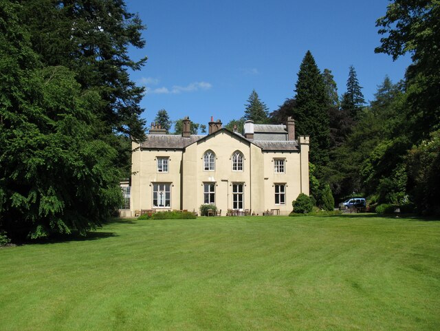
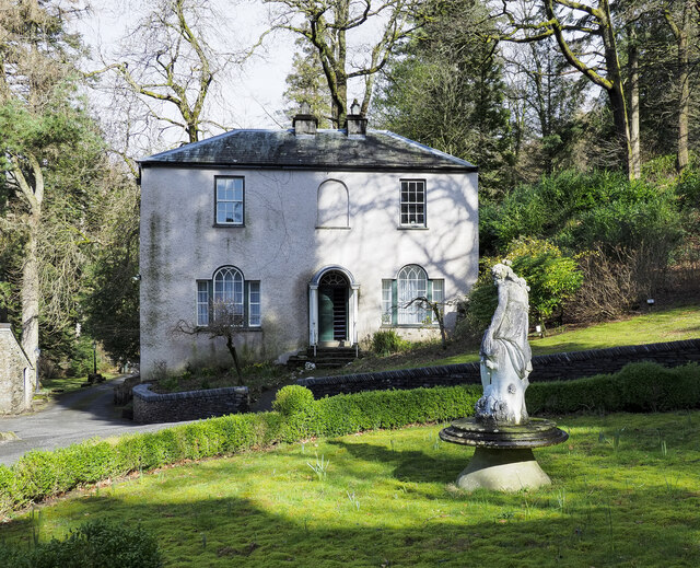
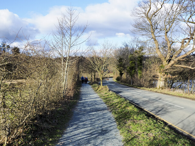
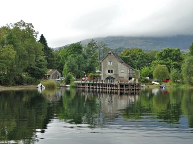
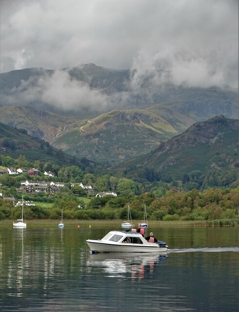
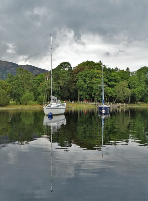
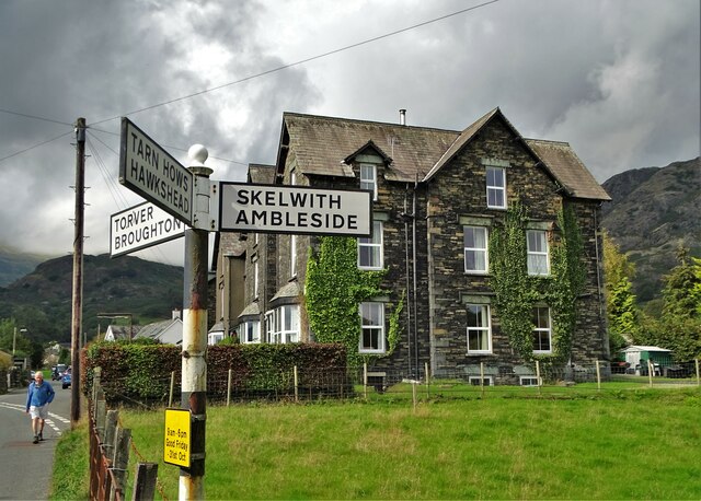
Atkinson Ground Coppice Images
Images are sourced within 2km of 54.369403/-3.0424079 or Grid Reference SD3297. Thanks to Geograph Open Source API. All images are credited.


Atkinson Ground Coppice is located at Grid Ref: SD3297 (Lat: 54.369403, Lng: -3.0424079)
Administrative County: Cumbria
District: South Lakeland
Police Authority: Cumbria
What 3 Words
///rinse.masses.space. Near Ambleside, Cumbria
Related Wikis

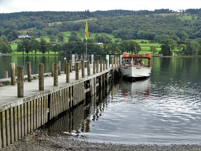
SY Gondola
The steam yacht Gondola is a rebuilt Victorian, screw-propelled, steam-powered passenger vessel on Coniston Water, England. Originally launched in 1859...

Yewdale Beck
Yewdale Beck is a river in Lake District, Cumbria, England. The Yewdale Beck arises from the confluence of Henfoot Beck and Swallow Scar Beck, as well...

Tarn Hows
Tarn Hows is an area of the Lake District National Park in North West England, It contains a picturesque tarn, approximately 2 miles (3.2 km) northeast...

Hawkshead Hill
Hawkshead Hill is a hamlet in the South Lakeland district, in the county of Cumbria, England. It is in the Lake District National Park. == Location... ==

Coniston, Cumbria
Coniston is a village and civil parish in the Westmorland and Furness district of Cumbria, England. In the 2001 census the parish had a population of 1...
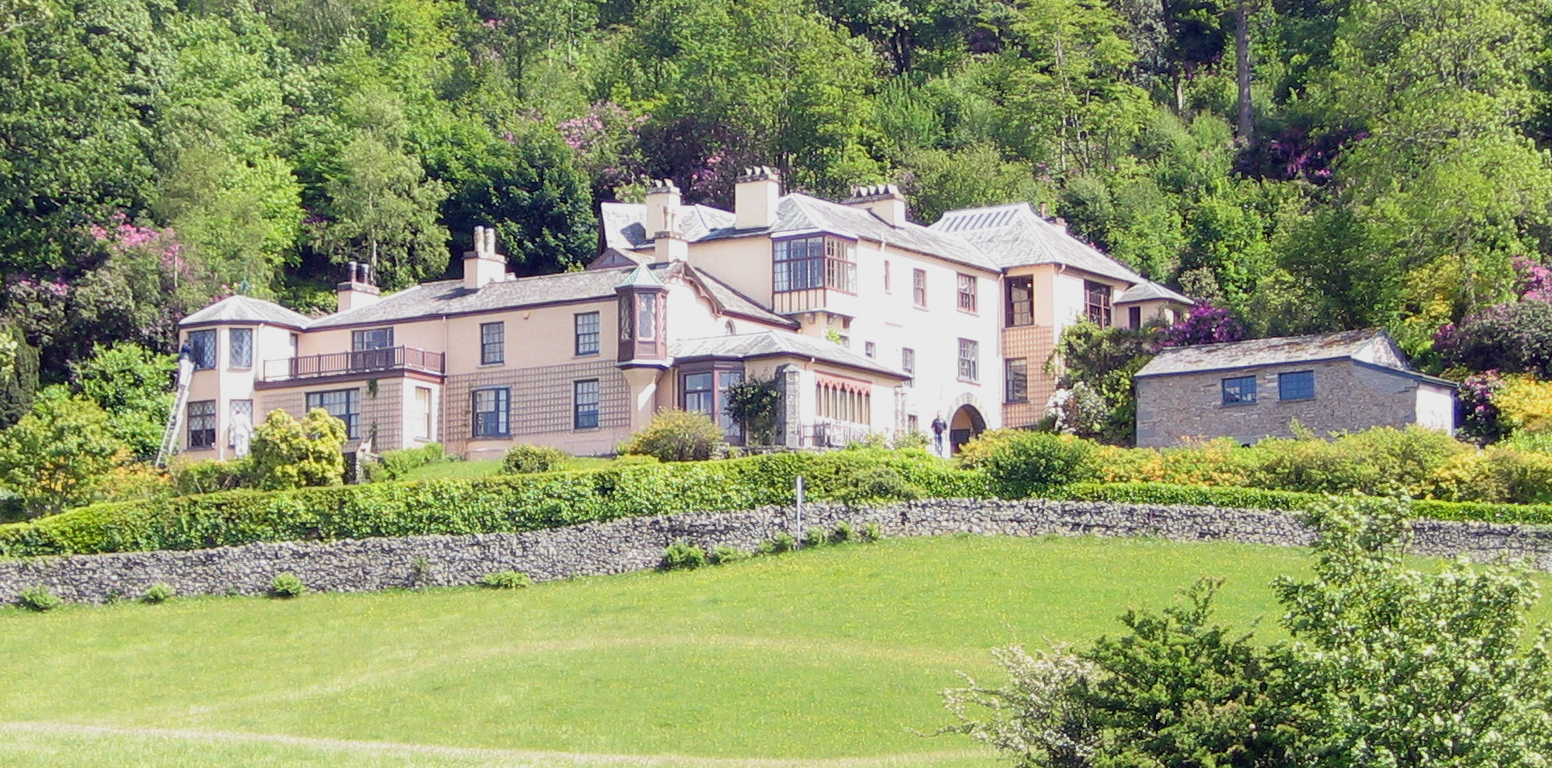
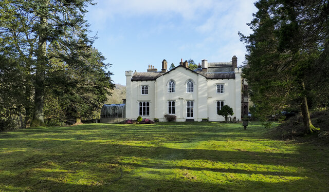
Brantwood
Brantwood is a historic house museum in Cumbria, England, overlooking Coniston Water. It has been the home of a number of prominent people. The house and...

John Ruskin School
John Ruskin School (JRS) is an 11–16 school on Lake Road in Coniston, Cumbria. The school is part of the Rural Academy, a group of nine small schools in...

Cat Bank
Cat Bank is a hamlet in Cumbria, England. == References ==
Nearby Amenities
Located within 500m of 54.369403,-3.0424079Have you been to Atkinson Ground Coppice?
Leave your review of Atkinson Ground Coppice below (or comments, questions and feedback).