Black Dyke Moss

Downs, Moorland in Lancashire South Lakeland

England

Black Dyke Moss

Tom Ghyll at Dawn
Tom Ghyll at Dawn Credit: Anthony Parkes

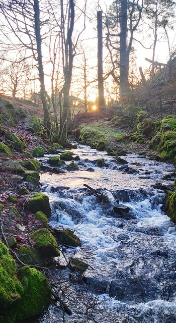
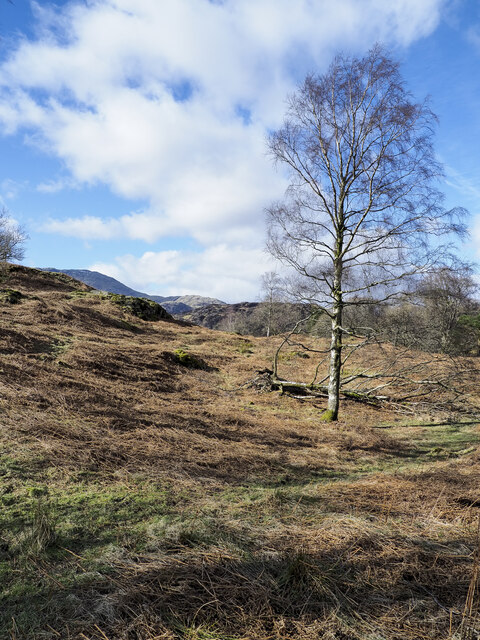
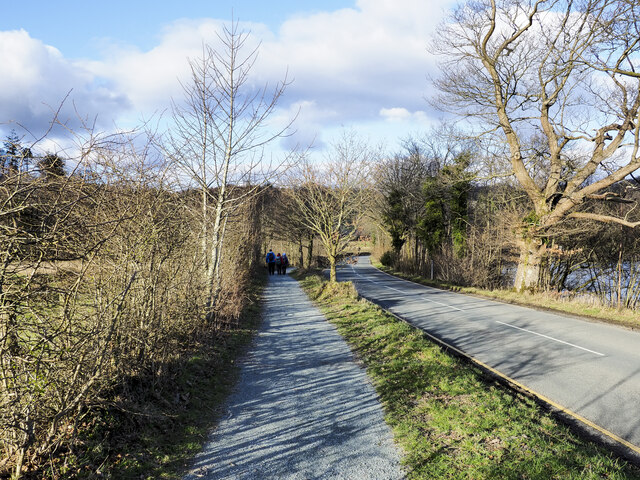
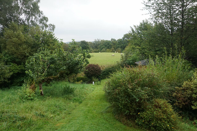
Black Dyke Moss is a vast expanse of moorland located in Lancashire, England. Spanning over 300 hectares, it is a prominent feature of the landscape in the area. The moss is situated near the village of Downs and is known for its unique flora and fauna.

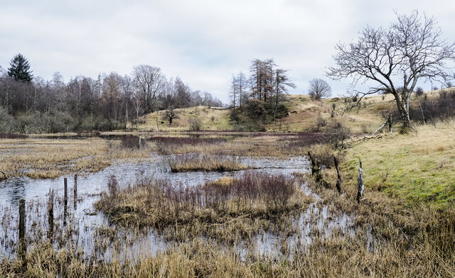
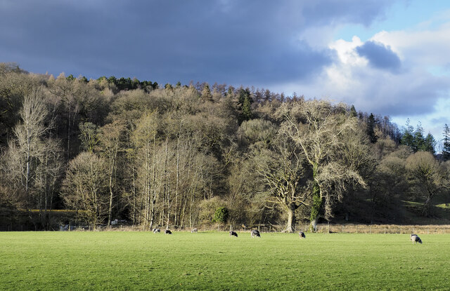
The moorland is characterized by its wet and boggy terrain, making it a suitable habitat for a variety of plant species. It is particularly renowned for its extensive growth of sphagnum moss, which creates a vibrant green carpet across the landscape. This moss not only adds to the aesthetic appeal of the area but also plays a crucial role in maintaining the bog's water retention capacity.

Black Dyke Moss is also home to a diverse range of bird species, attracting birdwatchers and nature enthusiasts. Visitors can spot rare species such as merlins, curlews, and golden plovers during their visit. Moreover, the moss provides an essential breeding ground for many birds, ensuring their survival.

The moss plays a vital role in the overall ecosystem of Lancashire. It acts as a natural carbon sink, absorbing and storing large amounts of carbon dioxide, thus contributing to the fight against climate change. Furthermore, it serves as a natural floodplain, retaining excess water during heavy rainfall and mitigating potential flooding risks in the surrounding areas.

Black Dyke Moss is a cherished natural landmark in Lancashire, offering visitors a unique opportunity to immerse themselves in the beauty of the moorland landscape, observe rare bird species, and appreciate the significant ecological functions it provides.

If you have any feedback on the listing, please let us know in the comments section below.

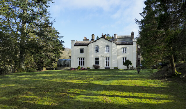
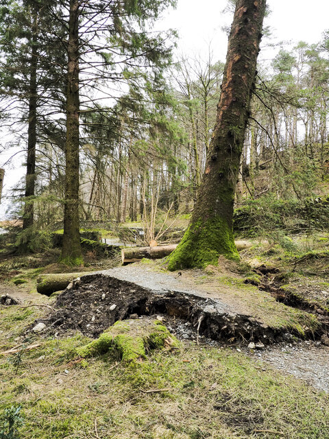
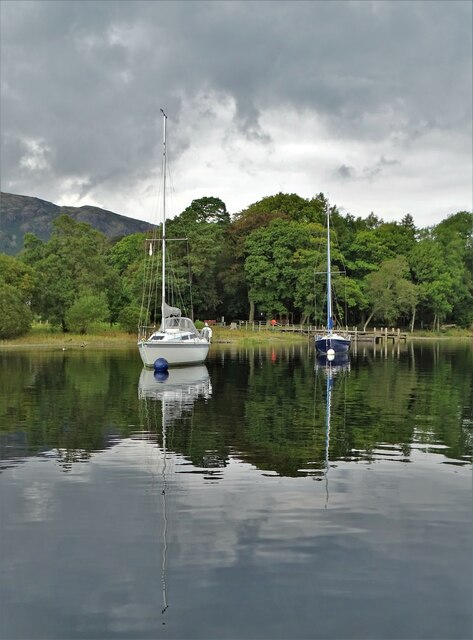
Black Dyke Moss Images

Images are sourced within 2km of 54.371866/-3.0340039 or Grid Reference SD3297. Thanks to Geograph Open Source API. All images are credited.

Tom Ghyll at Dawn
Tom Ghyll at Dawn
Monk Coniston Hall Monk Coniston Hall is a National Trust property privately leased to HF Holidays as one of their Country Houses.
Monk Coniston Hall
Monk Coniston Hall is a National Trust property privately leased to HF Holidays as one of their Country Houses.
Counting House at Monk Coniston Monk Coniston is a National Trust Property leased by HF Holidays and operated as a country house hotel. There are several buildings on the site; this is the Counting House.
Counting House at Monk Coniston
Monk Coniston is a National Trust Property leased by HF Holidays and operated as a country house hotel. There are several buildings on the site; this is the Counting House.
Birch tree on bracken-strewn slope The tree is on a hill slope south-west of Tarn Hows. The bracken is of course dead, the residue of the previous year's growth.
Wetherlam just shows above knolls at the left side horizon.
Birch tree on bracken-strewn slope
The tree is on a hill slope south-west of Tarn Hows. The bracken is of course dead, the residue of the previous year's growth. Wetherlam just shows above knolls at the left side horizon.
Heading back to Monk Coniston A walking party on the grit-path heading for the HF country hotel at Monk Coniston. The path is unusual in that it's mapped specifically as a bridleway rather than it being assumed to be a path conventionally adjacent to a motor road.
Heading back to Monk Coniston
A walking party on the grit-path heading for the HF country hotel at Monk Coniston. The path is unusual in that it's mapped specifically as a bridleway rather than it being assumed to be a path conventionally adjacent to a motor road.
Wharton Tarn The tarn is a small area of water lying just over a kilometre south of Tarn Hows. It appears to be infilling with vegetation.
Wharton Tarn
The tarn is a small area of water lying just over a kilometre south of Tarn Hows. It appears to be infilling with vegetation.
Hedge rising at edge of field The B5285 descends alongside the trimmed hedge which appears to have been grown alongside a fence which it is demolishing as it grows. Highfield House is the large residence at the top of the slope.
Hedge rising at edge of field
The B5285 descends alongside the trimmed hedge which appears to have been grown alongside a fence which it is demolishing as it grows. Highfield House is the large residence at the top of the slope.
Obstructions to path descending through Guards Wood Much damage was caused in Guards Wood by Storm Arwen at the end of November 2021 and probably by subsequent winter storms. The summit area of High Guards, the hill on which the wood grows, was badly affected and difficult to access - <a title="https://www.geograph.org.uk/photo/7115398" href="https://www.geograph.org.uk/photo/7115398">Link</a> . The path crossing the hill was equally affected by windthrown trees. The awkwardness caused by the two trees across the path in this image was trivial by comparison.
Obstructions to path descending through Guards Wood
Much damage was caused in Guards Wood by Storm Arwen at the end of November 2021 and probably by subsequent winter storms. The summit area of High Guards, the hill on which the wood grows, was badly affected and difficult to access - Link . The path crossing the hill was equally affected by windthrown trees. The awkwardness caused by the two trees across the path in this image was trivial by comparison.
Monk Coniston The south-west face of the large house at Monk Coniston which, with land was owned by Beatrix Potter who left it to the National Trust; the Trust still has it. Currently, it's leased by HF holidays who operate it as a country house hotel.
Monk Coniston
The south-west face of the large house at Monk Coniston which, with land was owned by Beatrix Potter who left it to the National Trust; the Trust still has it. Currently, it's leased by HF holidays who operate it as a country house hotel.
Damage to woodland path adjacent to road Along this path close to Tarn Hows there are many fallen trees brought down by the storms  of winter 2021-2022. The foreground tree has almost gone and has prised away the path surface passing its base. Sawn tree trunks can be seen beyond and there were many more but not all are victims of those storms. Some felling of trees has been going on because of infection with the Phytophthora ramorum disease.
Damage to woodland path adjacent to road
Along this path close to Tarn Hows there are many fallen trees brought down by the storms of winter 2021-2022. The foreground tree has almost gone and has prised away the path surface passing its base. Sawn tree trunks can be seen beyond and there were many more but not all are victims of those storms. Some felling of trees has been going on because of infection with the Phytophthora ramorum disease.
Sheep grazing in field beside B5285 The wooded hill, High Guards, rises beyond the field. The nearer trees are not contiguous with the woodland on the hill.
Sheep grazing in field beside B5285
The wooded hill, High Guards, rises beyond the field. The nearer trees are not contiguous with the woodland on the hill.
Yachts at the lakeside - Coniston Water
Coniston Old Man Viewed from Coniston Water near Waterhead.
Coniston Old Man
Viewed from Coniston Water near Waterhead.
The western end of Tarn Hows A beautiful place when there is bracken and snow on the hills. The Langdale Pikes are on the skyline.
The western end of Tarn Hows
A beautiful place when there is bracken and snow on the hills. The Langdale Pikes are on the skyline.
Moorland beside Tarn Hows If my memory serves me correct (over 50 years ago) this area was National Trust Land immediately adjacent to Tarn Hows.  Looking at current images and mapping, the location appears to be tree covered. No doubt a Lakeland connoisseur could put me right. At any rate I was circumnavigating Tarn Hows when the image was taken. I believe it is the Coniston Fells snow-covered beyond.
Moorland beside Tarn Hows
If my memory serves me correct (over 50 years ago) this area was National Trust Land immediately adjacent to Tarn Hows. Looking at current images and mapping, the location appears to be tree covered. No doubt a Lakeland connoisseur could put me right. At any rate I was circumnavigating Tarn Hows when the image was taken. I believe it is the Coniston Fells snow-covered beyond.
Tarn Hows, April 1970 A beautiful place before it was sanitised by the National Trust and overwhelmed by visitors.
Tarn Hows, April 1970
A beautiful place before it was sanitised by the National Trust and overwhelmed by visitors.
Forestry road in Lags Wood, Grizedale
Garden behind Hawkshead Hill Baptist Church A very restful place, which is the intention. At the bottom is an outdoor baptistry.
Garden behind Hawkshead Hill Baptist Church
A very restful place, which is the intention. At the bottom is an outdoor baptistry.
Show me another place!

Black Dyke Moss is located at Grid Ref: SD3297 (Lat: 54.371866, Lng: -3.0340039)

Administrative County: Cumbria

District: South Lakeland

Police Authority: Cumbria

What 3 Words

///receive.subway.removable. Near Windermere, Cumbria

Related Wikis

Hawkshead Hill

Hawkshead Hill is a hamlet in the South Lakeland district, in the county of Cumbria, England. It is in the Lake District National Park. == Location... ==

Tarn Hows

Tarn Hows is an area of the Lake District National Park in North West England, It contains a picturesque tarn, approximately 2 miles (3.2 km) northeast...

SY Gondola

The steam yacht Gondola is a rebuilt Victorian, screw-propelled, steam-powered passenger vessel on Coniston Water, England. Originally launched in 1859...

Yewdale Beck

Yewdale Beck is a river in Lake District, Cumbria, England. The Yewdale Beck arises from the confluence of Henfoot Beck and Swallow Scar Beck, as well...

Roger Ground

Roger Ground is a hamlet just south of the village of Hawkshead, in the South Lakeland district, in the English county of Cumbria. == References == Philip...

St Michael and All Angels Church, Hawkshead

St Michael and All Angels Church is in the village of Hawkshead, Cumbria, England. It is an active Anglican parish church in the deanery of Windermere...

Hawkshead Market Hall

Hawkshead Market Hall, also known as Hawkshead Town Hall, is a municipal building in The Square in Hawkshead, Cumbria, England. The building, which is...

Hawkshead

Hawkshead is a village and civil parish in Westmorland and Furness, Cumbria, England. Within the boundaries of the historic county of Lancashire, the parish...

Nearby Amenities

Located within 500m of 54.371866,-3.0340039
Black Dyke Moss
Natural: wetland
Wetland: marsh
Lat/Long: 54.3733877/-3.0342722
Power: pole
Lat/Long: 54.3708614/-3.0324282
Power: pole
Lat/Long: 54.3702649/-3.033026
Power: pole
Lat/Long: 54.3712305/-3.0317385
Power: pole
Lat/Long: 54.3715505/-3.0310603
Power: pole
Lat/Long: 54.3741186/-3.0293082
Power: pole
Lat/Long: 54.3737728/-3.0308234
Power: pole
Lat/Long: 54.3734364/-3.0323244
Power: pole
Lat/Long: 54.3731051/-3.0337558
Power: pole
Lat/Long: 54.3728663/-3.0348218
Power: pole
Lat/Long: 54.3725704/-3.0360928
Power: pole
Lat/Long: 54.372209/-3.0376901
Power: pole
Lat/Long: 54.3721228/-3.0385172
Power: pole
Lat/Long: 54.3720159/-3.0394816
Power: pole
Lat/Long: 54.3718954/-3.0406421
The data included in this document is from www.openstreetmap.org. The data is made available under ODbL.

Have you been to Black Dyke Moss?

Leave your review of Black Dyke Moss below (or comments, questions and feedback).