Coed Pen-rhiwiau
Wood, Forest in Herefordshire
England
Coed Pen-rhiwiau
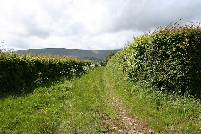
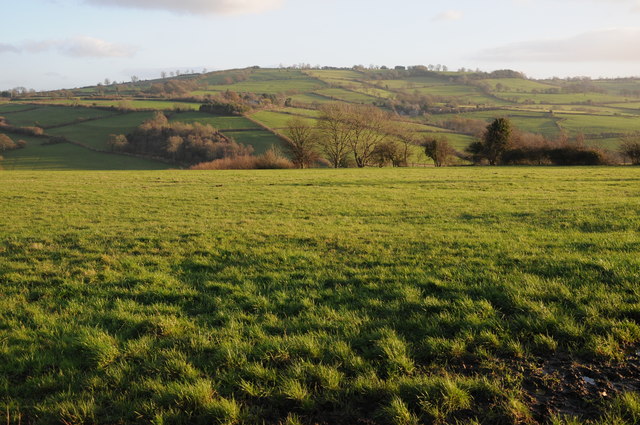
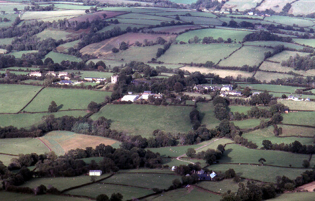
Coed Pen-rhiwiau is a wood located in Herefordshire, a county in the West Midlands region of England. Nestled in the picturesque countryside, this forested area covers a significant expanse, offering visitors a tranquil and natural setting to explore.
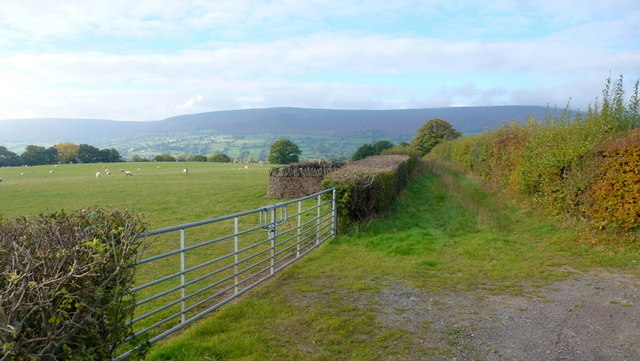
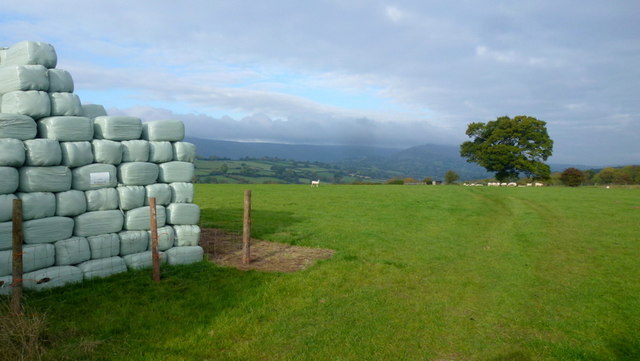
The wood, known for its dense tree cover, is predominantly composed of deciduous trees such as oak, beech, and ash, creating a rich and diverse ecosystem that supports an array of wildlife. The forest floor is carpeted with a variety of flora, including bluebells, wild garlic, and ferns, adding to the beauty and charm of the surroundings.
Coed Pen-rhiwiau is a popular destination for nature enthusiasts, hikers, and those seeking a peaceful retreat. The woodland is crisscrossed with well-maintained walking trails, providing opportunities for leisurely strolls or more challenging hikes that cater to all levels of fitness.
As visitors meander through the forest, they may encounter various wildlife species. Deer, foxes, squirrels, and an array of birdlife are among the creatures that call this woodland home. Birdwatchers can observe species such as woodpeckers, owls, and thrushes in their natural habitat.
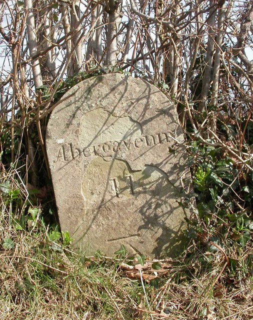
The wood is also a place of historical interest, with remnants of ancient settlements and archaeological sites scattered throughout. These traces of human presence provide insight into the area's rich heritage and offer visitors a glimpse into the past.
Overall, Coed Pen-rhiwiau in Herefordshire is a haven of natural beauty, offering visitors the chance to connect with nature, explore ancient history, and enjoy the peaceful serenity of the woodland environment.
If you have any feedback on the listing, please let us know in the comments section below.
Coed Pen-rhiwiau Images
Images are sourced within 2km of 51.949447/-2.9890404 or Grid Reference SO3228. Thanks to Geograph Open Source API. All images are credited.


Coed Pen-rhiwiau is located at Grid Ref: SO3228 (Lat: 51.949447, Lng: -2.9890404)
Unitary Authority: County of Herefordshire
Police Authority: West Mercia
What 3 Words
///tripods.tarnished.tested. Near Longtown, Herefordshire
Nearby Locations
Related Wikis
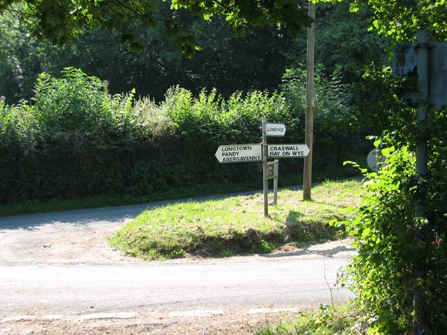
Longtown, Herefordshire
Longtown is a linear village and parish in Herefordshire, England. The parish includes the village of Clodock and had a population in mid-2010 of 543...
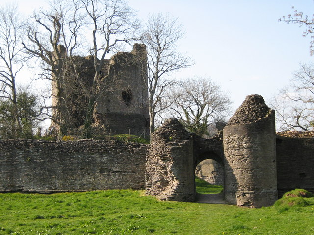
Longtown Castle
Longtown Castle, also termed Ewias Lacey Castle in early accounts, is a ruined Norman motte-and-bailey fortification in Longtown, Herefordshire. It was...

Clodock
Clodock Welsh: Clydog is a village in the west of Herefordshire, England. It lies on the River Monnow in the foothills of the Black Mountains, close to...

Hatterrall Hill
Hatterrall Hill (Welsh: Mynydd Y Gader) is a rounded peak in the Black Mountains which sits on the Wales-England border, partly in Monmouthshire, Wales...
Nearby Amenities
Located within 500m of 51.949447,-2.9890404Have you been to Coed Pen-rhiwiau?
Leave your review of Coed Pen-rhiwiau below (or comments, questions and feedback).