Sadler's Little Wood

Wood, Forest in Shropshire

England

Sadler's Little Wood

Criggion Bank Reservoir
Criggion Bank Reservoir Credit: Richard Webb

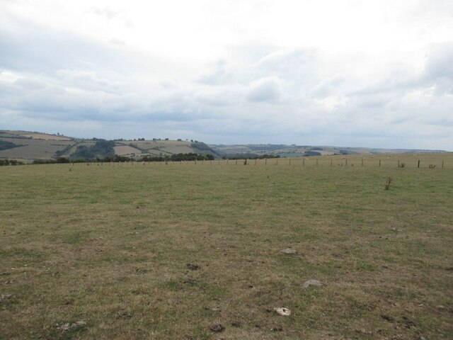
Sadler's Little Wood is a picturesque forest located in the county of Shropshire, England. This enchanting woodland covers an area of approximately 50 acres and is situated near the village of Sadler's End. Known for its natural beauty and tranquility, the wood attracts nature enthusiasts, hikers, and photographers from all around.

The forest is predominantly composed of a variety of deciduous trees, including oak, beech, and birch, which create a captivating tapestry of colors throughout the year. The woodland floor is adorned with a rich carpet of wildflowers, such as bluebells and primroses, adding to the area's charm and biodiversity.

Sadler's Little Wood is home to a diverse range of wildlife. It provides a habitat for numerous species of birds, including woodpeckers, thrushes, and owls. Squirrels can be seen darting between the trees, while rabbits and deer occasionally emerge from the undergrowth. The forest also supports a variety of insects, including butterflies and bees, which are attracted to the abundant nectar sources.

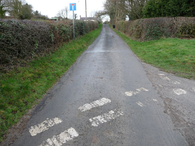
Visitors to Sadler's Little Wood can explore the forest through a network of well-maintained footpaths that wind through the trees. These paths offer stunning views of the surrounding countryside and provide opportunities for peaceful walks and picnics. The forest is also a popular spot for wildlife observation and nature photography, with many visitors capturing the beauty of the wood and its inhabitants.

Overall, Sadler's Little Wood is a hidden gem in Shropshire, offering a serene and captivating natural environment for visitors to enjoy and appreciate.

If you have any feedback on the listing, please let us know in the comments section below.

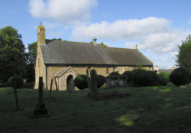
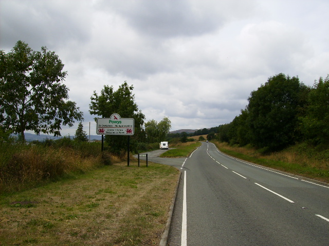
Sadler's Little Wood Images

Images are sourced within 2km of 52.503545/-3.0058387 or Grid Reference SO3189. Thanks to Geograph Open Source API. All images are credited.

Criggion Bank Reservoir
Air quality monitoring station, Aston Hill Used to seeing these in an urban setting. Suppose a Welsh hilltop is a good control.
Air quality monitoring station, Aston Hill
Used to seeing these in an urban setting. Suppose a Welsh hilltop is a good control.
Pasture, Aston Hill Very dry after a hot Summer and low rainfall.
Pasture, Aston Hill
Very dry after a hot Summer and low rainfall.
Bishop's Castle This is the town hall on the steep hill in the Shropshire town of Bishop's Castle.
Bishop's Castle
This is the town hall on the steep hill in the Shropshire town of Bishop's Castle.
Bull Street, Bishop's Castle This open area is the site of the former Market Hall.  Behind the seat are the arms of the Earls of Powis.  Apparently they include an elephant, as the first Earl was Clive of India.
Bull Street, Bishop's Castle
This open area is the site of the former Market Hall. Behind the seat are the arms of the Earls of Powis. Apparently they include an elephant, as the first Earl was Clive of India.
Three Tuns Brewery, Bishop's Castle This is attached to the Three Tuns Inn, which was granted its licence in 1642.  Trade was evidently brisk in 1901 as there was stabling for 12 horses.
Three Tuns Brewery, Bishop's Castle
This is attached to the Three Tuns Inn, which was granted its licence in 1642. Trade was evidently brisk in 1901 as there was stabling for 12 horses.
Church Street, Bishop's Castle This is the lower end of the street, looking southwards, and the church tower can be seen beyond the T-junction.  On the left is a timber-framed cottage, a large house with three-storey bay windows, and a terrace of houses each painted a different bright colour.
Church Street, Bishop's Castle
This is the lower end of the street, looking southwards, and the church tower can be seen beyond the T-junction. On the left is a timber-framed cottage, a large house with three-storey bay windows, and a terrace of houses each painted a different bright colour.
St John the Baptist's Church, Bishop's Castle This is the west end of the church, framed by the lychgate.  The massive tower is all that remains of the church built in 1291, the rest of the church was destroyed during the Civil War in the 17C, and was then rebuilt.
St John the Baptist's Church, Bishop's Castle
This is the west end of the church, framed by the lychgate. The massive tower is all that remains of the church built in 1291, the rest of the church was destroyed during the Civil War in the 17C, and was then rebuilt.
High Street, Bishop's Castle At this point, looking northwards, Church Street becomes High Street.  On the right is the former primary school, originally named 'Mr Wright's Charity School' although the money was given by his widow.  Then, on the corner of New Street, the old Post Office, which has also been a vet's surgery.  The prominent hood-mould over the door can just be seen.  Next the pediment of the former Wesleyan Chapel, which is mostly hidden by a two-storey flat-roofed building.  The chapel building became a cinema for a while.  At the end of the street the Town Hall can be seen.
High Street, Bishop's Castle
At this point, looking northwards, Church Street becomes High Street. On the right is the former primary school, originally named 'Mr Wright's Charity School' although the money was given by his widow. Then, on the corner of New Street, the old Post Office, which has also been a vet's surgery. The prominent hood-mould over the door can just be seen. Next the pediment of the former Wesleyan Chapel, which is mostly hidden by a two-storey flat-roofed building. The chapel building became a cinema for a while. At the end of the street the Town Hall can be seen.
Church Street, Bishop's Castle Another view of Church Street, down towards the church.  This is the upper end of the street.
Church Street, Bishop's Castle
Another view of Church Street, down towards the church. This is the upper end of the street.
'House on Crutches', Bishop's Castle This was built between 1610 and 1630, with the first floor over the cobbled footway.  It has been restored by a voluntary trust and opened as a museum.
'House on Crutches', Bishop's Castle
This was built between 1610 and 1630, with the first floor over the cobbled footway. It has been restored by a voluntary trust and opened as a museum.
Porch House, High Street, Bishop's Castle This house was built in 1611.  Note the carved heads under the jetty, made in 1989, and depicting Hugh and Poppy.  There are other carvings in the porch.
Porch House, High Street, Bishop's Castle
This house was built in 1611. Note the carved heads under the jetty, made in 1989, and depicting Hugh and Poppy. There are other carvings in the porch.
Change and decay Dilapidated farm buildings, machinery and vans.
Change and decay
Dilapidated farm buildings, machinery and vans.
Snowfall in Kerry Lane, Bishop's Castle A light snowfall in the lane which descends into Bishop's Castle. A heavier fall can be seen on the distant Titterstone Clee hill
Snowfall in Kerry Lane, Bishop's Castle
A light snowfall in the lane which descends into Bishop's Castle. A heavier fall can be seen on the distant Titterstone Clee hill
Winter tree This tree is situated alongside the road that connects the A488 to the A489
Winter tree
This tree is situated alongside the road that connects the A488 to the A489
Bishop's Castle fire station Bishop's Castle fire station, Church Lane, Bishop's Castle, Shropshire
Bishop's Castle fire station
Bishop's Castle fire station, Church Lane, Bishop's Castle, Shropshire
Bishop's Castle old fire station Bishop's Castle old fire station, Station Street, Bishop's Castle, Shropshire, which was replaced by <a href="https://www.geograph.org.uk/photo/607315">SO3288 : Bishop's Castle fire station</a>.
Bishop's Castle old fire station
Bishop's Castle old fire station, Station Street, Bishop's Castle, Shropshire, which was replaced by SO3288 : Bishop's Castle fire station.
View towards Cabin The pastures are to the west of Bishop's Castle to the north of Kerry Lane.
View towards Cabin
The pastures are to the west of Bishop's Castle to the north of Kerry Lane.
Show me another place!

Sadler's Little Wood is located at Grid Ref: SO3189 (Lat: 52.503545, Lng: -3.0058387)

Unitary Authority: Shropshire

Police Authority: West Mercia

What 3 Words

///gong.elaborate.stand. Near Bishop's Castle, Shropshire

Nearby Locations

Cabin Sadler's Little Wood

Related Wikis

Cabin, Shropshire

Cabin is a village in Shropshire, England.

Bankshead

Bankshead is a hamlet in Shropshire, England, near Bishop's Castle and the England-Wales border. == External links == Media related to Bankshead at Wikimedia...

Bishop's Castle Town Hall

Bishop's Castle Town Hall is a municipal building in the High Street in Bishop's Castle, Shropshire, England. The building, which is the meeting place...

Bishop's Castle

Bishop's Castle is a market town in the south west of Shropshire, England. According to the 2011 Census it had a population of 1,893. Bishop's Castle is...

Bishop's Castle railway station

Bishop's Castle railway station was a station in Bishop's Castle, Shropshire, England. The station was opened on 1 February 1866 and closed on 20 April...

Bishop's Castle Community College

Bishop's Castle Community College is a coeducational secondary school located in Bishop's Castle in the English county of Shropshire.Established in 1922...

Lydham

Lydham is a small village and civil parish in Shropshire, England. Lydham is situated on the junction of the A488 and the A489 main roads, about 2 miles...

Snead, Powys

Snead is a small village in Powys, Wales. It is situated on the A489 road and the River Camlad. The English border is immediately to the east of the village...

Nearby Amenities

Located within 500m of 52.503545,-3.0058387
Source: OS_Opendata
Lat/Long: 52.5005575/-3.0096286
Source: OS_Opendata
Lat/Long: 52.4998669/-3.0065609
Source: OS_Opendata
Lat/Long: 52.4990785/-3.0053324
Source: OS_Opendata
Lat/Long: 52.501242/-3.0121439
Source: OS_Opendata
Lat/Long: 52.4990534/-3.0054229
Source: OS_Opendata
Lat/Long: 52.5001372/-3.0070147
Barrier: stile
Source: OS_Opendata
Lat/Long: 52.5002092/-3.0071725
Source: OS_Opendata
Lat/Long: 52.5003593/-3.0086718
Source: OS_Opendata
Lat/Long: 52.4992965/-3.0058113
Power: pole
Lat/Long: 52.5005993/-3.0096531
Power: pole
Lat/Long: 52.505695/-2.9994875
Power: pole
Lat/Long: 52.506242/-3.0009037
Power: pole
Lat/Long: 52.5068803/-3.0024809
Power: pole
Lat/Long: 52.5073537/-3.0036932
Power: pole
Lat/Long: 52.5079023/-3.0051121
Barrier: stile
Lat/Long: 52.5005767/-3.009699
Barrier: stile
Lat/Long: 52.4990708/-3.0053603
The data included in this document is from www.openstreetmap.org. The data is made available under ODbL.

Have you been to Sadler's Little Wood?

Leave your review of Sadler's Little Wood below (or comments, questions and feedback).