Benfield Park
Wood, Forest in Herefordshire
England
Benfield Park
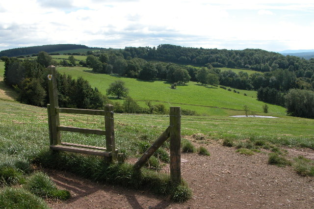
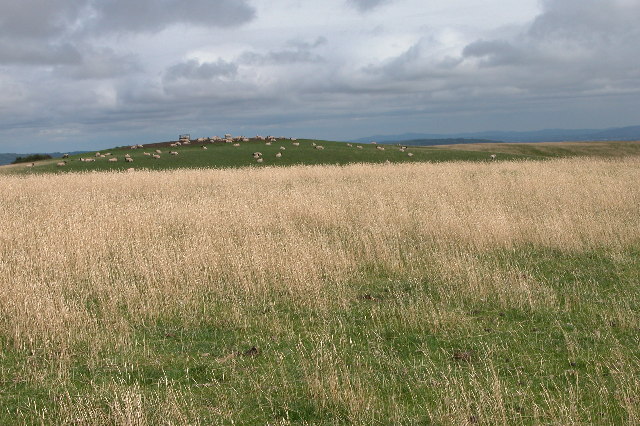
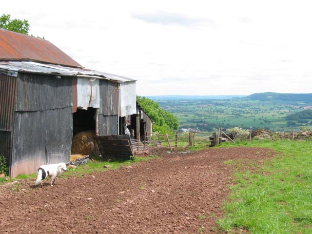
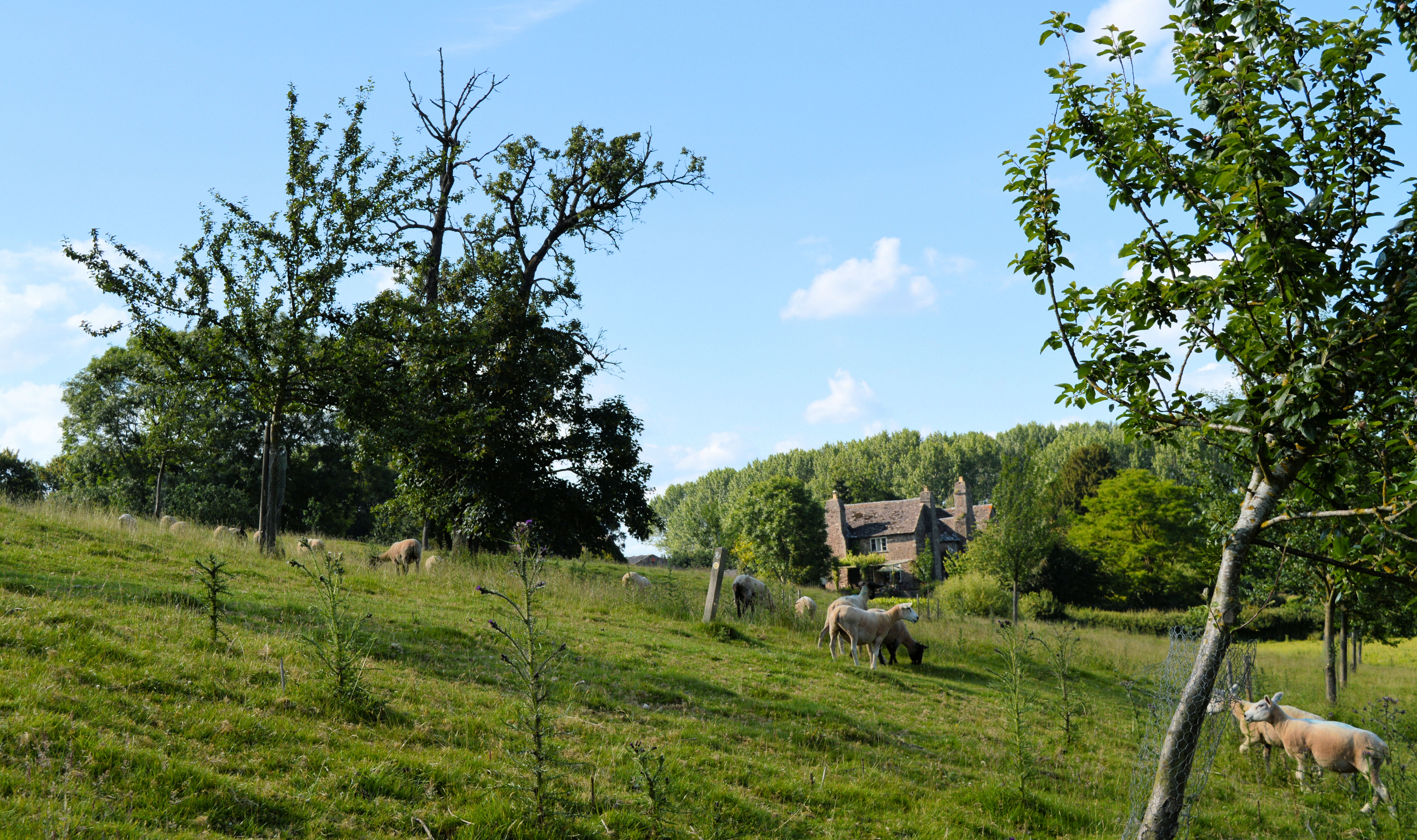
Benfield Park is a picturesque wood located in Herefordshire, England. Situated in a rural area, it is known for its lush forest and natural beauty. Covering an area of approximately 100 acres, the park offers a serene and tranquil environment for visitors to explore.
The wood is home to a diverse range of flora and fauna, making it a haven for nature enthusiasts. Towering oak trees, beech trees, and other native species create a dense canopy, providing shade and shelter for numerous wildlife species. Visitors can spot a variety of birds, such as woodpeckers, owls, and songbirds, as well as small mammals like squirrels and hedgehogs.
A network of well-maintained walking trails winds through the park, allowing visitors to immerse themselves in the natural surroundings. The paths are suitable for all levels of walkers, from leisurely strolls to more challenging hikes. Along the way, informative signposts provide educational insights into the local ecosystem and its inhabitants.
Benfield Park also offers recreational facilities for families and outdoor enthusiasts. There is a designated picnic area with benches and tables, providing a perfect spot to enjoy a packed lunch amidst the tranquil surroundings. Additionally, a children's play area is available, complete with swings, slides, and climbing frames, ensuring younger visitors have an enjoyable visit.
Overall, Benfield Park in Herefordshire is a stunning woodland retreat, offering a peaceful escape from the hustle and bustle of daily life. With its abundant wildlife, well-maintained trails, and recreational facilities, it is a popular destination for nature lovers and families alike.
If you have any feedback on the listing, please let us know in the comments section below.
Benfield Park Images
Images are sourced within 2km of 52.0969/-2.9974962 or Grid Reference SO3144. Thanks to Geograph Open Source API. All images are credited.


Benfield Park is located at Grid Ref: SO3144 (Lat: 52.0969, Lng: -2.9974962)
Unitary Authority: County of Herefordshire
Police Authority: West Mercia
What 3 Words
///frame.hound.beaks. Near Dorstone, Herefordshire
Nearby Locations
Related Wikis
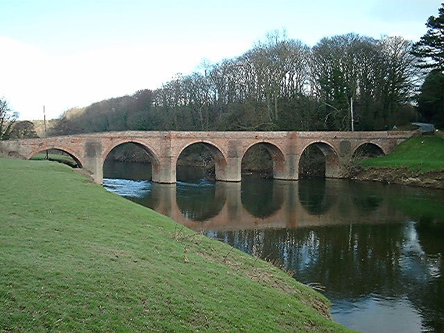
Bredwardine
Bredwardine is a village and civil parish in the west of Herefordshire, England. Significant parish landmarks include a brick bridge over the River Wye...

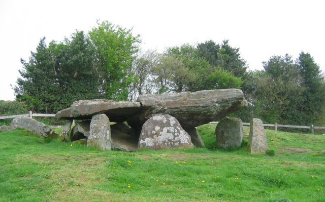
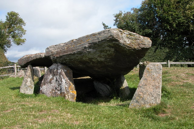
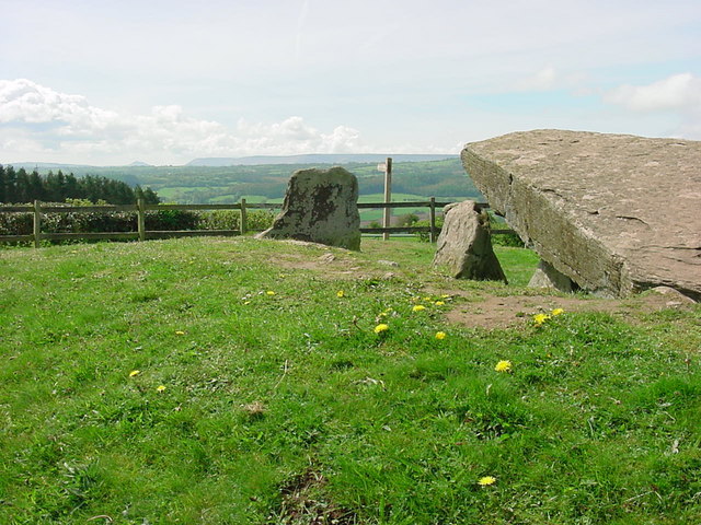
Arthur's Stone, Herefordshire
Arthur's Stone is a Neolithic chambered tomb, or dolmen, in Herefordshire, England. It is situated on the ridge line of a hill overlooking both the Golden...

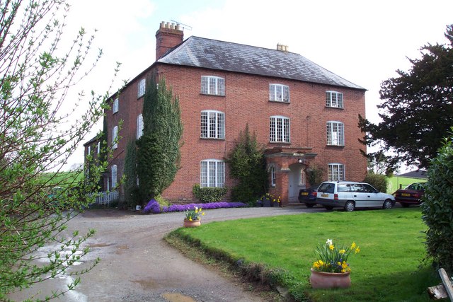
Bredwardine Castle
Bredwardine Castle was sited in the village of Bredwardine in Herefordshire, England beside the River Wye. Thought to have been built in the second half...
Letton, west Herefordshire
Letton is a village and civil parish in west Herefordshire, England, and is approximately 11 miles (20 km) west-northwest from the city and county town...

Brobury
Brobury is a village and former civil parish, now in the parish of Brobury with Monnington on Wye, in western Herefordshire, England, located between Hereford...

Dorstone railway station
Dorstone railway station was a station in Dorstone, Herefordshire, England. The station was opened in 1881, closed to passengers in 1941 and closed completely...

Willersley and Winforton
Willersley and Winforton is a civil parish in west Herefordshire, England, and is approximately 14 miles (20 km) west-northwest from the city and county...

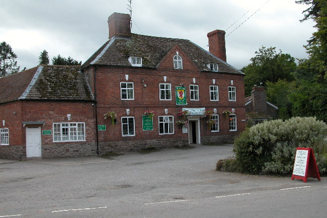
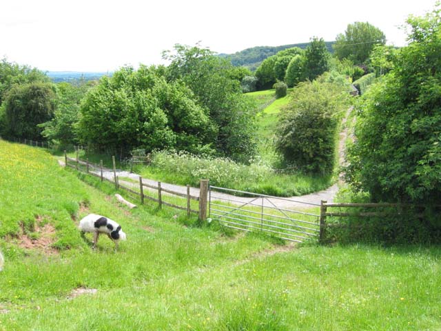
Dorstone
Dorstone is a village within the Golden Valley, Herefordshire, England. There is a church and public house with restaurant. The Golden Valley area offers...
Nearby Amenities
Located within 500m of 52.0969,-2.9974962Have you been to Benfield Park?
Leave your review of Benfield Park below (or comments, questions and feedback).