The Plantation
Wood, Forest in Somerset
England
The Plantation

The Plantation, Somerset, also known as Wood or Forest, is a vast area of land located in the county of Somerset, England. The plantation is a designated site of special scientific interest (SSSI) due to its unique and diverse ecosystem.
Covering an area of approximately [enter size here], the Plantation is predominantly made up of dense woodland, comprising a variety of tree species such as oak, beech, and pine. The trees in this area are known to be several centuries old, with some dating back to medieval times, giving the plantation an air of ancient charm.
Aside from its rich flora, the Plantation is also home to a wide range of fauna. Numerous bird species can be found here, including the great spotted woodpecker and tawny owl, making it a popular spot for birdwatchers. Mammals such as deer, foxes, and badgers can also be spotted in the area, adding to its natural appeal.
The Plantation offers a range of recreational activities for nature enthusiasts. There are well-maintained trails and paths for walking, hiking, and cycling, allowing visitors to explore the enchanting woodland. The site is also equipped with picnic areas, making it an ideal location for family outings and gatherings.
The Plantation, Somerset (Wood, Forest) is a treasured natural gem, providing a serene and peaceful environment for visitors to connect with nature. Its historical significance, diverse flora and fauna, and recreational opportunities make it a must-visit destination for anyone seeking an escape into the beauty of the natural world.
If you have any feedback on the listing, please let us know in the comments section below.
The Plantation Images
Images are sourced within 2km of 51.326433/-2.9813739 or Grid Reference ST3159. Thanks to Geograph Open Source API. All images are credited.


The Plantation is located at Grid Ref: ST3159 (Lat: 51.326433, Lng: -2.9813739)
Unitary Authority: North Somerset
Police Authority: Avon and Somerset
What 3 Words
///oven.shadow.quench. Near Weston-super-Mare, Somerset
Nearby Locations
Related Wikis
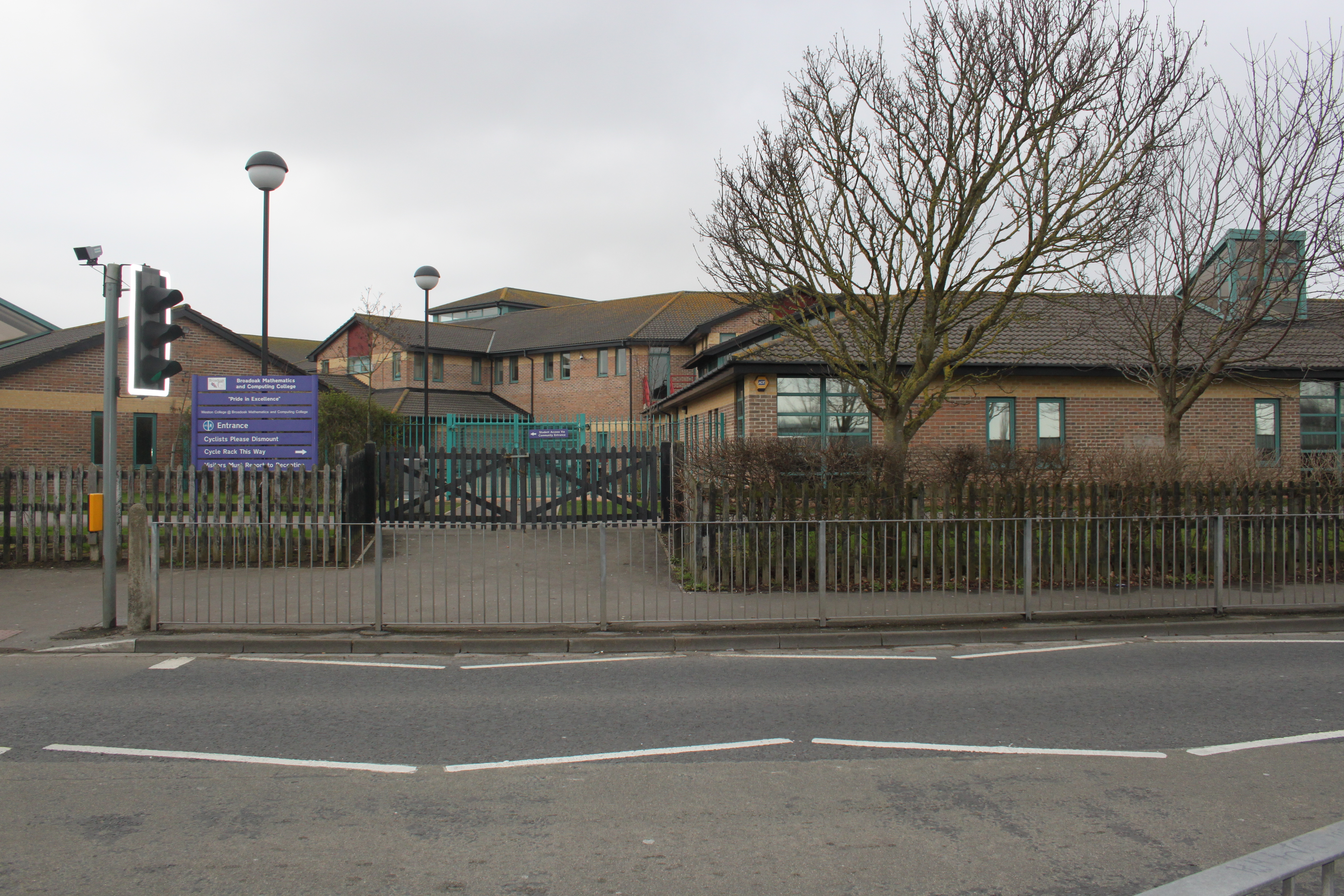
Broadoak Academy
Broadoak Academy is a coeducational secondary school located in Weston-super-Mare, North Somerset, England. == History == Primary education in Weston-super...
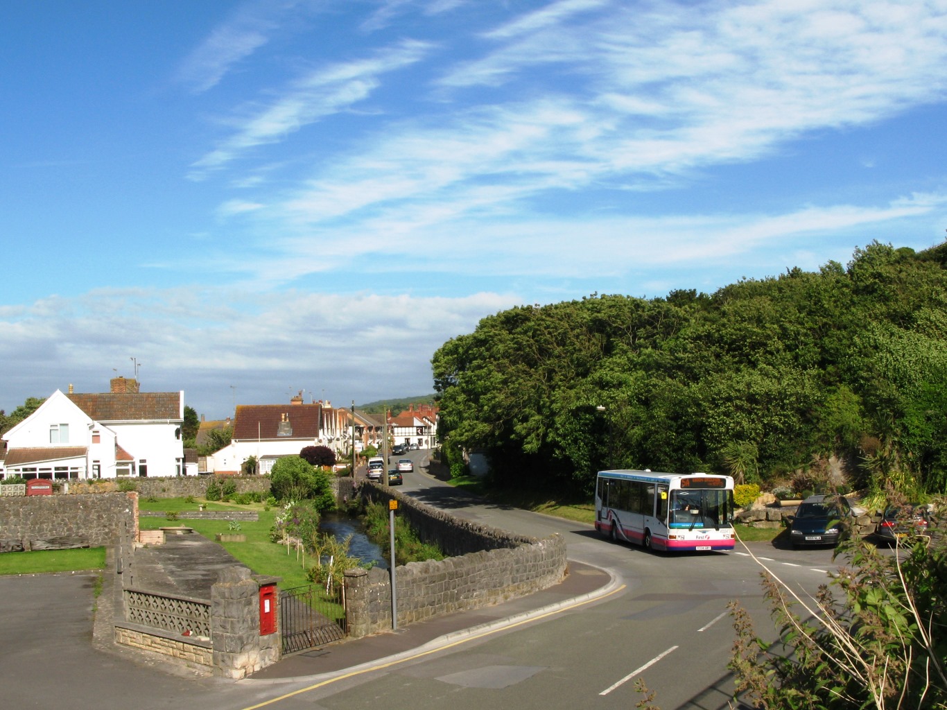
Uphill
Uphill is a village and former civil parish, now in the parish of Weston-super-Mare, in the North Somerset district, in the ceremonial county of Somerset...
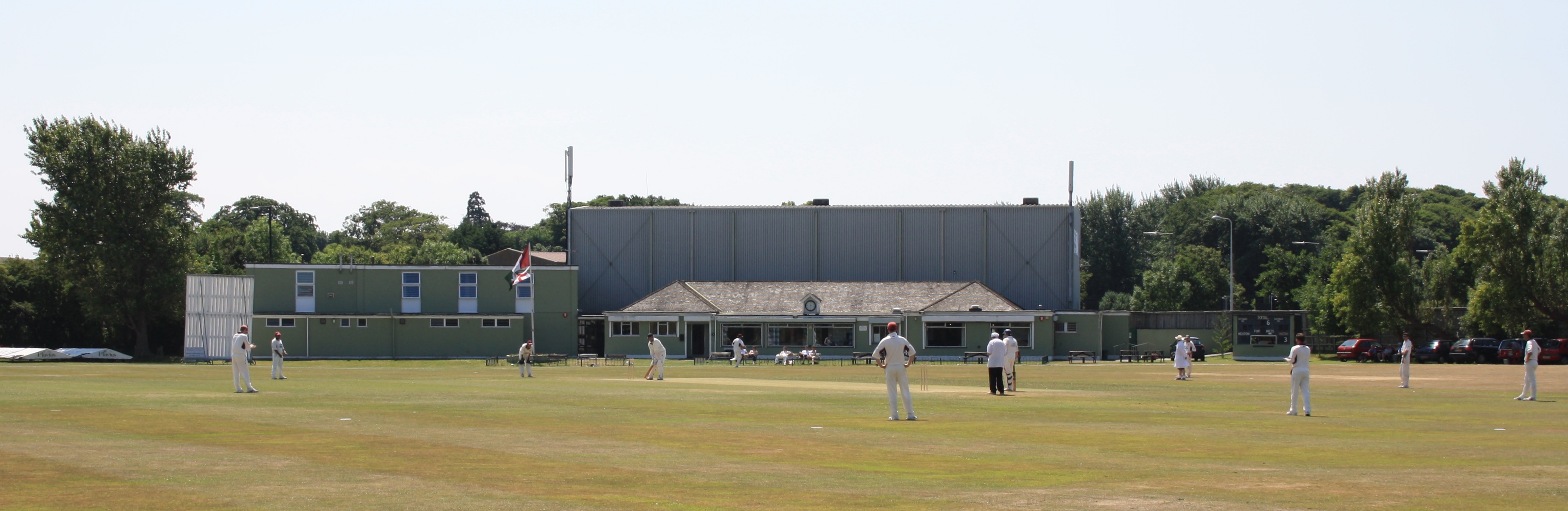
Weston-super-Mare Cricket Club
Weston-super-Mare Cricket Club is an amateur cricket club based in the town of Weston-super-Mare, Somerset, England. Since the club's formation in 1845...
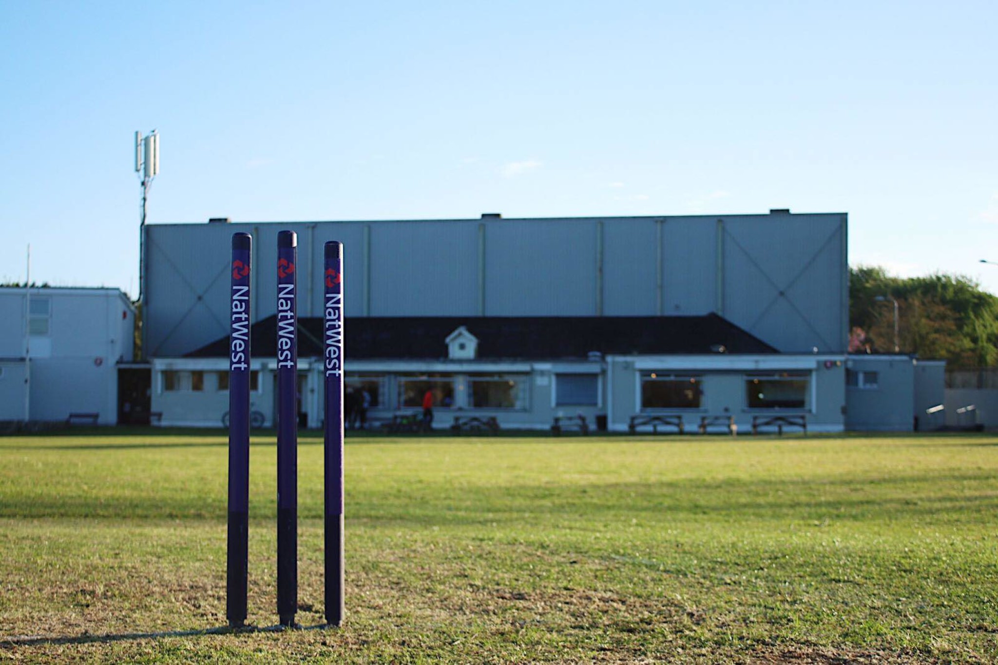
Devonshire Park Ground, Weston-super-Mare
Devonshire Park Ground is a cricket ground in Weston-super-Mare, Somerset. It hosted two List A cricket matches for Somerset County Cricket Club; one...
Nearby Amenities
Located within 500m of 51.326433,-2.9813739Have you been to The Plantation?
Leave your review of The Plantation below (or comments, questions and feedback).