Clydeport
Settlement in Renfrewshire
Scotland
Clydeport
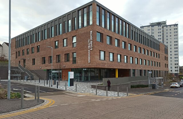
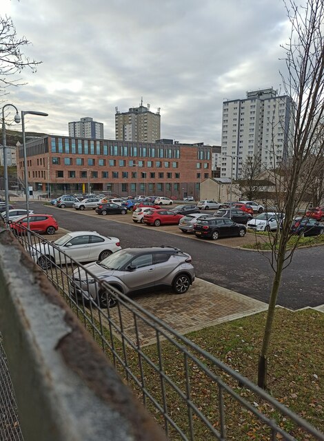
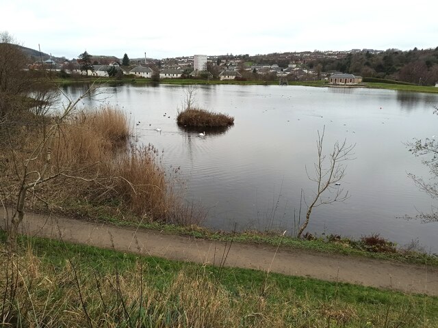
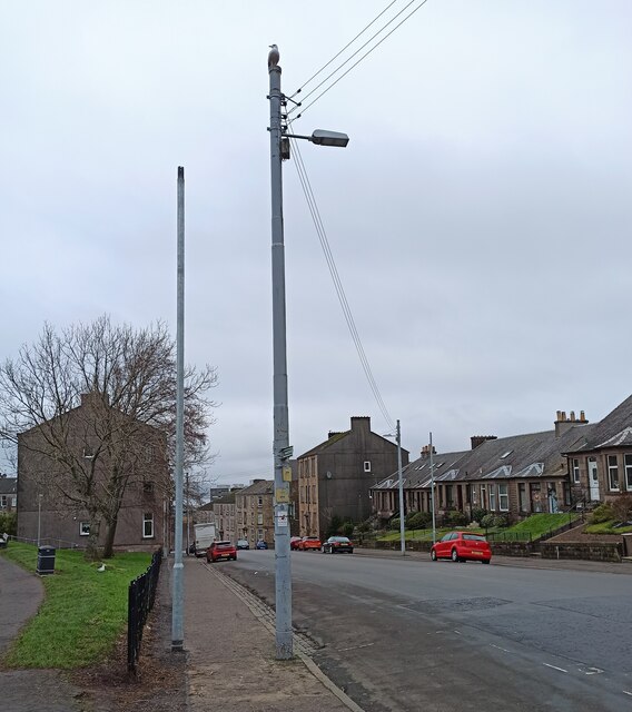
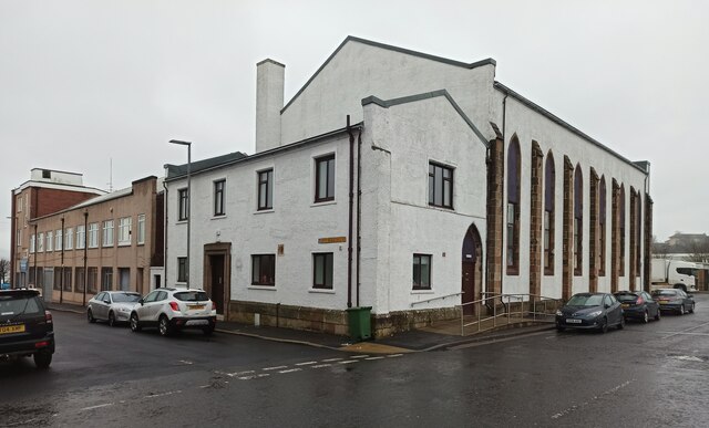
Clydeport is a bustling port town situated in Renfrewshire, Scotland. Located on the banks of the River Clyde, it plays a significant role in the region's maritime and industrial activities. With a population of around 20,000 people, Clydeport is a vibrant community that offers a range of amenities and attractions.
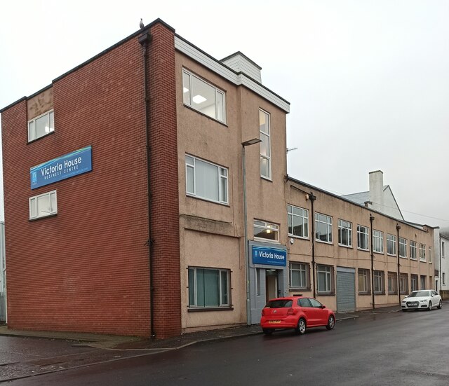
The town's history is deeply rooted in shipbuilding, which boomed during the 19th and 20th centuries. The iconic shipyards of Clydeport were once renowned for constructing some of the world's most famous vessels, including the Queen Mary and the Queen Elizabeth 2. While shipbuilding has declined over the years, the legacy of this industry remains visible through the numerous historic buildings and structures that dot the town.
Clydeport is also home to a thriving commercial port, handling a diverse range of cargo and facilitating trade with various countries. Its strategic location and excellent transportation links make it an important hub for businesses involved in import and export.
In addition to its industrial significance, Clydeport offers a range of leisure activities. The town boasts beautiful waterfront areas, including parks and promenades, where residents and visitors can enjoy stunning views of the river and engage in outdoor pursuits. There are also several restaurants, cafes, and shops that cater to the needs of locals and tourists alike.
Overall, Clydeport is a town that seamlessly blends its industrial heritage with modern amenities, creating a unique and vibrant place to live and visit.
If you have any feedback on the listing, please let us know in the comments section below.
Clydeport Images
Images are sourced within 2km of 55.95478/-4.7725303 or Grid Reference NS2777. Thanks to Geograph Open Source API. All images are credited.


Clydeport is located at Grid Ref: NS2777 (Lat: 55.95478, Lng: -4.7725303)
Unitary Authority: Inverclyde
Police Authority: Renfrewshire and Inverclyde
What 3 Words
///elbow.having.forget. Near Greenock, Inverclyde
Nearby Locations
Related Wikis

Greenock West
Greenock West, also known simply as the West End, is an area of Greenock, Inverclyde, Scotland. The streets are in a grid like layout referred to as blocks...
St John the Evangelist's Church, Greenock
St John the Evangelist's Church, Greenock, is located in Union Street, Greenock, Inverclyde, Scotland. It is an active Anglican church in the Scottish...
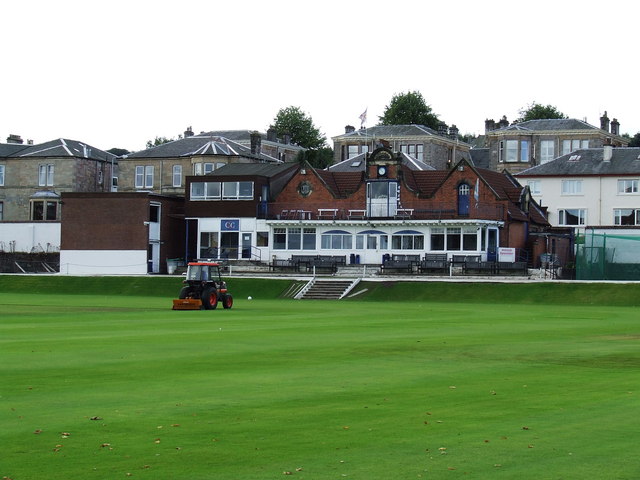
Glenpark Cricket Ground
Glenpark Cricket Ground is a cricket ground in Greenock, Scotland. The first recorded match held on the ground came in 1869 when Greenock played the Players...
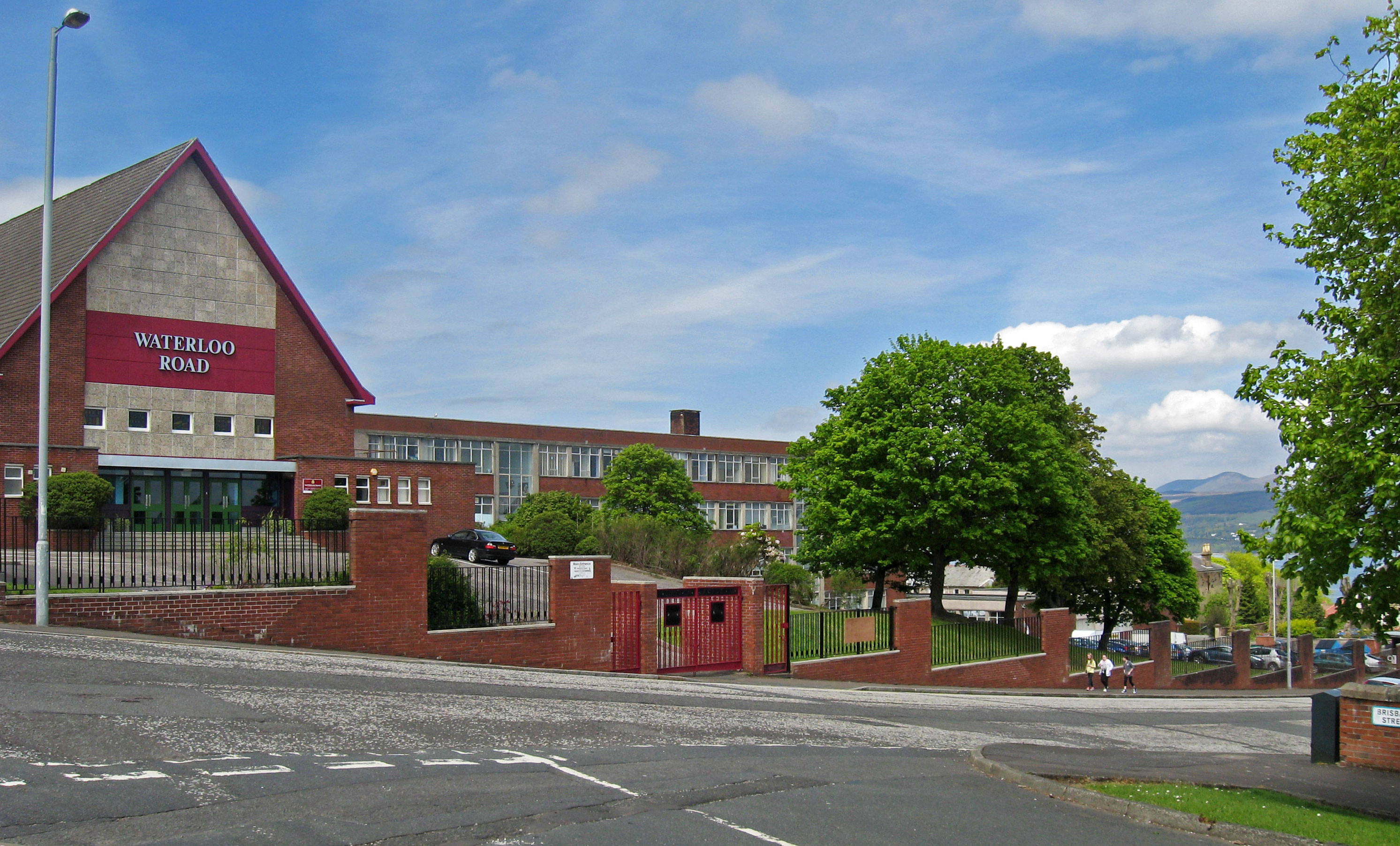
Greenock Academy
The Greenock Academy was a mixed non-denominational school in the west end of Greenock, Scotland, founded in 1855, originally independent, later a grammar...
Nearby Amenities
Located within 500m of 55.95478,-4.7725303Have you been to Clydeport?
Leave your review of Clydeport below (or comments, questions and feedback).